Stand at any unaddressed place on earth, a beach access, a farm gate, a tent in a field hospital's future, and ask how to tell someone else where you are. Two answers compete. The coordinate pair, latitude and longitude, is the universal language: every device speaks it, every chart is drawn in it, and almost no human can say it aloud correctly under pressure. The plus code, Google's Open Location Code, is the challenger built for that exact moment: a short code, computable from the pair by pure arithmetic, designed to be spoken, typed, and remembered. This guide compares them as working tools, because the choice between them is a real one that couriers, hikers, aid workers, and developers make daily, usually by habit instead of by merit.
Home / Coordinates and Location Formats
Plus Code vs Coordinates: Which One to Send, and When
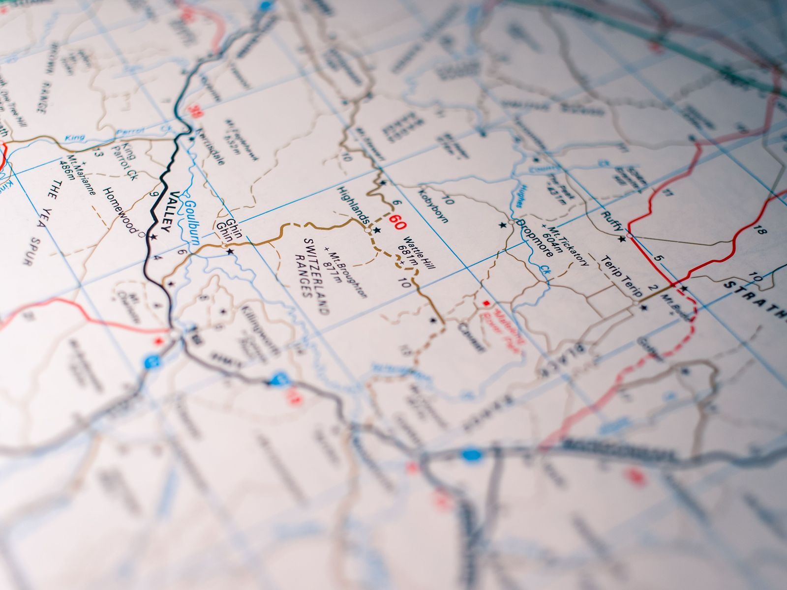
Photo: Sonny Sixteen / Pexels
Interactive tool
Code or Coordinates: The Decision Checklist
Check off each step as you finish it. Your progress stays on this page.
0 of 7 complete
0% done
The Two Grammars, Stated Plainly
A coordinate pair names a point by its angles from the equator and the prime meridian: two numbers, each extensible to as many decimal places as the job requires. Its precision is a dial, not a property: five decimal places fix a point to about a meter, six to about a decimeter, and the pair can always be extended. It belongs to no company and expires never; a pair written in a logbook in 1950 resolves on a phone today.
A plus code names a cell, not a point, by dividing the world into a grid and spelling the cell's address in a short alphabet of twenty characters chosen to avoid confusion. The full code has a rhythm everyone in this field recognizes: eight characters, a plus sign, and two more, such as 8FW4V75V+8F6, with the option of a locality name replacing the first four characters when both parties share the area, the short form V75V+8F6, Springfield. Its precision is also a dial, set by length: per the Open Location Code specification, a 10-character code names a cell about 14 by 14 meters, and an 11-character code refines it to about 3 by 3 meters. Those figures are grid geometry from the specification itself, not accuracy claims about any device; your phone's fix is its own question, whichever grammar you speak.
The Comparison, Axis by Axis
| Axis | Plus code | Coordinates |
|---|---|---|
| What it names | A cell of ground (about 14 by 14 m at 10 characters) | A point, at any chosen precision |
| Spoken aloud | Designed for it: short, chunked at the plus | Error-prone: two long decimal strings |
| Typo behavior | Visible: neighbors share a prefix, so a wrong code lands near or obviously off | Silent: one digit moves you kilometers with no warning |
| Offline use | Fully computable offline; no database, no lookup | Also universal, but humans cannot sanity-check a pair by eye |
| Local short form | Yes: first four characters replaced by a known locality | No equivalent; truncation loses the place entirely |
| Universality | Supported by Google Maps and OSM tools; unknown to many dispatch systems | Spoken by every device, chart, and professional service |
| Ownership | Open standard, Open Location Code, from Google Zurich, 2014 | Nobody's; a property of the planet's geometry |
| Addressing role | Built to serve as an address where none exists | Identifies; does not pretend to be an address |
Read the table as a division of temperament. The pair is a measurement; the code is a message. Measurements belong in instruments and records. Messages belong between people, under time pressure, over bad phone lines, and the code was designed by people who studied exactly those failures.
The Typo Argument, Which Decides More Than It Should
The deepest difference is not length but failure shape. Coordinates fail silently: transpose two digits in a longitude and the pair still parses, still looks authoritative, and points at a field in another county. Nothing in the string protests. Plus codes fail loudly, twice over. First, the grid is local: cells near each other share their code prefix, so a code that shares nothing with the area you expect is visibly wrong before anyone travels. Second, the code's alphabet and structure give humans a fighting chance at the read-back test: "V75V plus 8F6" chunks into pieces a listener can repeat, where "thirty-nine point seven eight one six six seven" dissolves on the second decimal. Disaster-relief workers, the users the code's designers studied hardest, coordinate drops by voice as a matter of routine, and the grammar that survives a voice channel wins that world outright.

Where Coordinates Win, Without Apology
The pair keeps its thrones, and a fair guide lists them. Professional and scientific work: survey, aviation, maritime, and GIS run on coordinates, in datums and formats with legal and safety weight; a plus code in a survey report would be a category error. Arbitrary precision: when the job is a borehole, a boundary corner, or a sensor, the dial turns past any code length's convenience. Machine exchange: systems pass pairs, in GeoJSON and a hundred formats, and the code's human virtues are wasted on an API. And permanence: the pair is understood by every future reader with no standard to consult. Our format guide teaches the pair's own grammar, DD, DMS, and DDM, for the work where the pair is the right answer.
Where the Code Wins, Equally Plainly
The unaddressed world. A large share of humanity lives where streets have no names or houses no numbers, and the code was built as address infrastructure for exactly that ground: generatable for any spot, printable on a form, speakable to a driver. The handoff between strangers. Courier to customer, friend to friend at a festival gate, responder to dispatcher: anywhere a location crosses between two people by voice or text, the code's brevity and loud failures beat the pair's silent precision. The offline pocket. The code computes from the pair with arithmetic alone, no network, no database download, which is why OSM-based tools adopted it; our guide to what a plus code is covers the construction itself. Against the other code system in the field, the comparison is separate: plus code vs what3words weighs the open code against the proprietary word triples, a contest about ownership and offline rights rather than grammar.
The Decision, Compressed
Send coordinates when the receiver is a professional, a machine, or a record: precision matters, the channel is reliable, and the pair's universality is the point. Send a plus code when the receiver is a person in a hurry, the place has no address, or the channel is a voice: the message matters more than the measurement. And in the field, carry both, because they cost nothing together: the phone that shows you the pair can show you the code on the same screen, and the day is never wasted that begins with two ways to say where you are.
Worked Handoffs: Three Scenes Decided
The courier and the farmhouse. A delivery driver holds a coordinate pair read over the phone by a customer, digit five of the longitude uncertain between two hearings. The pair is one mishearing from a field three valleys away, and nothing in it will confess. The plus code for the same gate, sent by text and confirmed by its prefix against the village the driver is already in, survives the channel. Verdict: code, because the receiver is a person, the channel is voice and text, and the place has no street address to fall back on.
The surveyor and the boundary corner. A land surveyor records a corner that a court may read in forty years. The plus code's cell, meters wide, is a neighborhood, not a corner; the record needs the pair at full precision, in its stated datum, with the instrument's own metadata. Verdict: coordinates, and not a close call, because the receiver is a record and the precision is the testimony.
The festival gate. Two friends, one inside a festival ground, one arriving, a voice call over crowd noise. The arriving friend's map accepts a plus code pasted from a message in one tap and walks the code's cell to the gate painted with the same code on a sign the organizers printed, because the organizers, sensibly, addressed their temporary city in the grammar built for unaddressed places. The pair would have worked too, after two read-backs and a dropped digit. Verdict: code, by the length of a chorus.
The scenes share the rule this guide keeps returning to: the choice is not about the place, it is about the channel and the receiver. Places are innocent; messages fail.
A Note on Datums, the Pair's Hidden Footnote
One caution belongs to the pair alone, and China teaches it to every traveler the hard way: a coordinate pair is meaningless without its datum, and the world's maps quietly use more than one. The China offline guide documents the GCJ-02 shift, where the same numbers name different ground in different systems. Plus codes inherit the WGS-84 world they are computed from, which does not free them from the lesson; it means the code and the pair share the same foundation and the same footnote. Grammar is the surface. The datum is the ground truth underneath both, and the careful user names it when the stakes are real.
Related Guides
If this page answered part of the question, these coordinate guides cover the rest of the same ground:
- Plus Code vs what3words: Open vs Proprietary, and Which One to Actually Use: The other comparison: code against code, where the fight is about ownership and offline rights.
- What Is a Plus Code: The explainer underneath this comparison: how the code is built and read.
- Latitude and Longitude Format: The pair's own grammar in full: DD, DMS, DDM, and the order rules.
- Offline Maps for China: The GCJ-02 Shift and the Apps That Align: Why a pair is meaningless without its datum, taught by the country that shifts its maps.
Frequently Asked Questions
Is a plus code as accurate as coordinates?
A plus code names a cell rather than a point: about 14 by 14 meters at 10 characters, about 3 by 3 meters at 11, per the Open Location Code specification. A coordinate pair can be extended to any precision. For finding a gate, a tent, or a door, the code's cell is the right size; for surveying, the pair's dial is the point.
Why do plus codes have a plus sign in the middle?
The plus marks the boundary between the area part and the local part of the code, and it chunks the string for reading aloud. The first characters name the broad area, replaceable by a locality name in the short form; the characters after the plus refine within it.
Can a plus code be wrong without anyone noticing?
It is much harder than with coordinates. Neighboring cells share a code prefix, so a mistyped code usually lands nearby or clashes visibly with the expected area. A mistyped coordinate digit, by contrast, still parses perfectly and can point kilometers away with no sign of trouble.
Do plus codes work offline?
Yes. A plus code is computed from latitude and longitude by arithmetic defined in the open Open Location Code standard, with no database or network involved. That is a design requirement from its origin as addressing for places with poor connectivity.
Should I give a courier a plus code or coordinates?
A plus code, in most real cases: it is shorter to type, safer to say, and lands the driver at a cell the size of a house plot. Give coordinates when the receiver is a professional system, a dispatcher whose tools take pairs, or a record that must be read in fifty years.
Photo credits: Sonny Sixteen (Pexels); Lara Jameson (Pexels). Photos are served from this site; follow the credit to the library page for the original.