Latitude and longitude get all the attention, but a GPS fix quietly carries a third coordinate, altitude, and it behaves like a rumor: your phone says one number, the trailhead sign says another, and the topographic map a third, with disagreements of ten, twenty, sometimes fifty meters. Nobody is lying. They are measuring from different floors. GPS altitude is height above an ellipsoid, a smooth mathematical model of the Earth. Published elevation is height above the geoid, the irregular surface that mean sea level would take if it flowed under the continents. The two surfaces diverge by an amount that varies place to place, and that divergence, not instrument error, explains most of the mismatch. This guide explains both heights, the simple equation connecting them, and how professionals convert, so the third number stops being a mystery and becomes information.
Home / Coordinates and Location Formats
GPS Coordinates With Altitude: Why the Third Number Disagrees With the Map
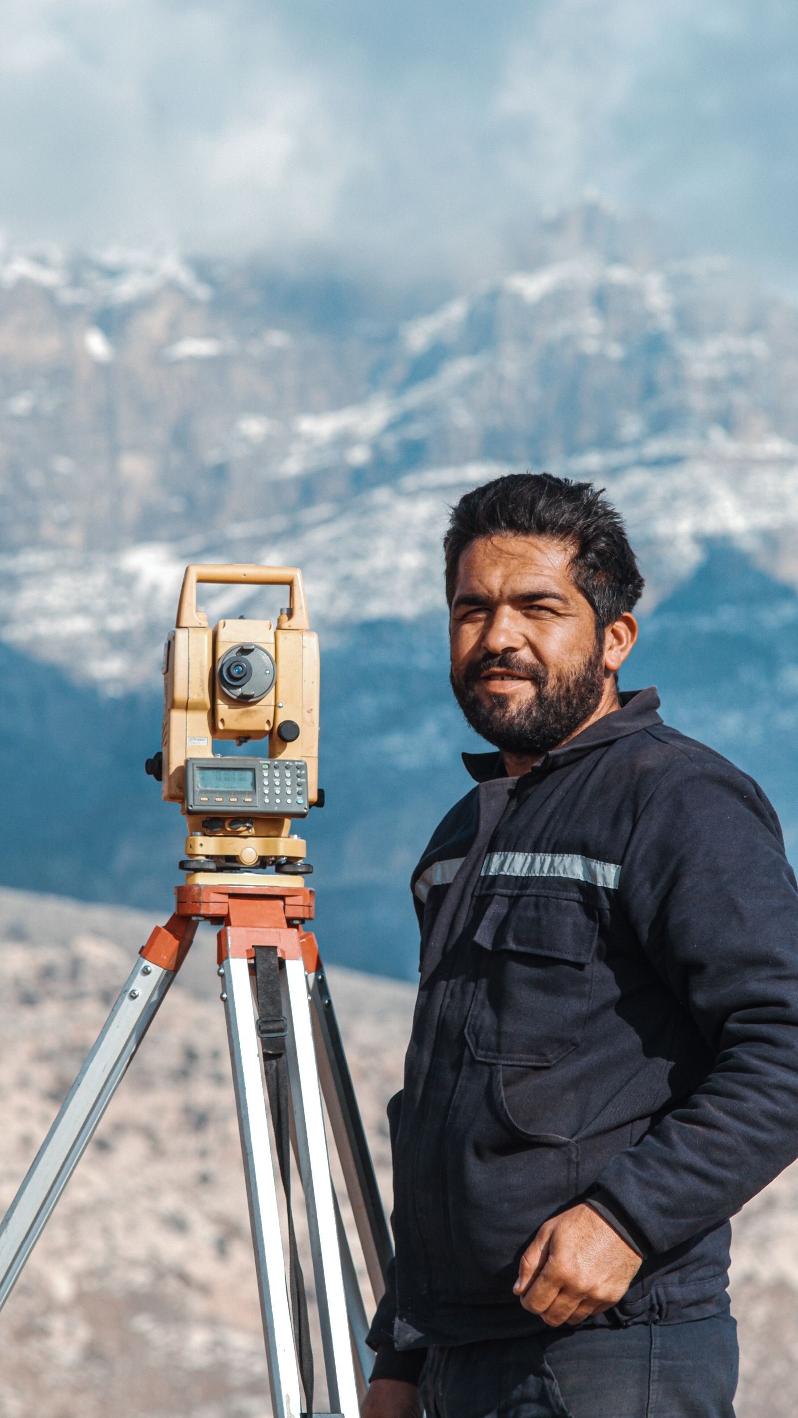
Photo: Ferhat Kocakaya / Pexels
Two Floors, One Point: The Altitude Checklist
Check off each step as you finish it. Your progress stays on this page.
0 of 8 complete
0% done
The Third Number Nobody Explains
When a receiver reports altitude, it has computed your height above the WGS84 ellipsoid, because that is the surface its satellite geometry naturally produces. Satellite ranges give a position in Earth-centered coordinates; converting that position to latitude, longitude, and height requires a reference surface, and the ellipsoid is the one the mathematics uses. Call this the ellipsoid height, written h. It is a perfectly good number with a perfectly clear meaning, and it is not what any map, sign, or gazetteer means by elevation. The catch is that many devices hide the distinction: some report raw ellipsoid height, some apply a built-in geoid model and report an approximation of map elevation, and the documentation rarely says which. That is why two devices side by side can disagree on altitude while agreeing exactly on latitude and longitude, and why a pilot, a surveyor, and a hiker can all say "altitude" and mean three related but different things. Our comparison of GPS coordinates versus latitude and longitude covers the horizontal pair; this article is the vertical's turn.
Two Heights: Ellipsoid Versus Orthometric
The elevation of the printed world, the number on the summit sign, the contour lines on the topo map, the altitude in a gazetteer, is orthometric height, written H: height above the geoid, measured along the plumb line, the direction water agrees is down. In the United States, orthometric heights are realized through the NAVD 88 vertical datum, a continent-wide leveling framework tied to a single reference point, and other countries run their own equivalents. Orthometric height is the height that matters for anything water does: drainage, flooding, irrigation, and whether a pass is higher than the town below it. Ellipsoid height matters for anything satellites do. Neither is the true height in some absolute sense; they are heights from two different, precisely defined floors, and the floors are separated by a distance that changes as you move, because the geoid bulges and dips with the Earth's uneven gravity field while the ellipsoid stays smooth.
The Geoid: The Missing Surface
The separation between the surfaces has a name, geoid height or undulation, written N: the height of the geoid above the ellipsoid at your location. The three quantities obey one equation: H = h - N. Orthometric height equals ellipsoid height minus geoid height. Run an illustrative example: if a receiver reports an ellipsoid height of 250 meters at a place where the geoid height is -30 meters, meaning the geoid lies 30 meters below the ellipsoid there, the orthometric height is 250 - (-30) = 280 meters. The sign surprises everyone the first time: across much of the continental United States the geoid sits below the ellipsoid, N is negative, and map elevation comes out higher than raw GPS height, which matches the common experience of a phone reading low against the sign. Elsewhere in the world N is positive and the bias flips. The size of N ranges globally from roughly -100 to +85 meters, so this is not a rounding error you can ignore; it is a first-order term in any serious vertical measurement. Geoid models are the maps of N: the National Geodetic Survey's GEOID18 is the current model for the United States, computed from gravity data and GPS measurements on leveled benchmarks, and it is what conversion tools apply on your behalf.
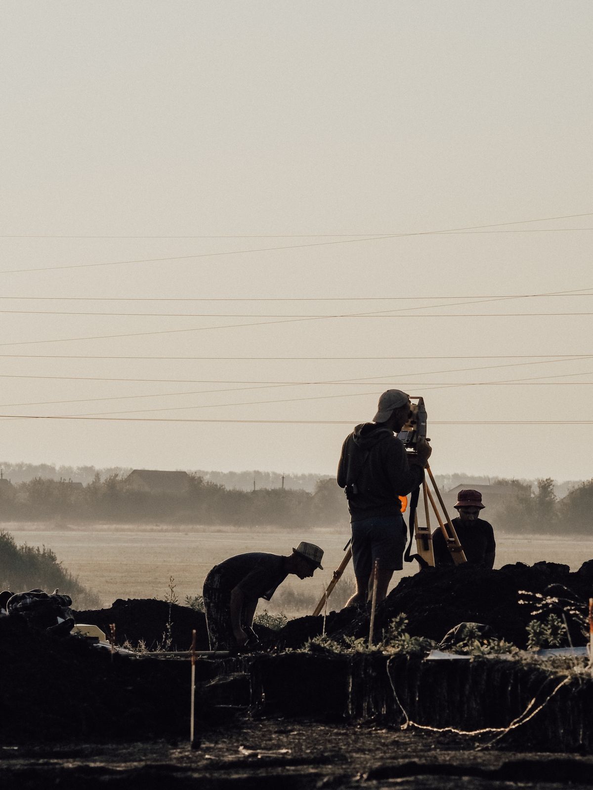
Convert a Reading Like a Surveyor
The professional workflow is boring in the best way. Take the receiver's latitude, longitude, and ellipsoid height. Apply a geoid model, GEOID18 in the United States, to get N at that position. Subtract: H = h - N, and the result is an orthometric height in the national vertical datum, NAVD 88 in the US case. The National Geodetic Survey's NCAT tool performs exactly this conversion online, accepting coordinates and returning heights in the datums you choose, and survey-grade software does the same internally. Two cautions separate good conversions from confident nonsense. First, know what your device already did: if the phone or handheld applied its own internal geoid model, subtracting N again double-counts the correction, so establish whether your altitude is raw ellipsoid height or already an elevation estimate before converting anything. Second, respect the accuracy ladder: a consumer receiver's vertical accuracy is far weaker than its horizontal, so a converted phone altitude is an estimate with meters of noise, while a survey receiver on a benchmark can make the same equation yield centimeters. The equation is exact; the inputs decide the quality. Readers who work with elevations on maps regularly will find the companion treatment in our guide to finding elevation from coordinates useful for the map side of the same question.
Why Your Phone Disagrees With the Trail Sign
Assemble the causes in the order they usually strike. The geoid gap, above, is the systematic part: a steady offset, same direction all day, that can reach tens of meters. Receiver noise is the jittery part: satellite geometry is weaker vertically than horizontally, so altitude wanders more than position, and a reading taken under trees or in a gorge can be off by a wide margin moment to moment. Barometric altimeters, fitted in many watches and some phones, drift with the weather and read beautifully between calibrations and badly across a front. And the sign itself is a measurement from a particular survey era, occasionally rounded, occasionally for a slightly different point than the one you are standing on. The practical reading protocol: treat a phone altitude as a neighborhood, not an address; let it settle for a minute before recording it; compare against the map's contour interval rather than a single printed number; and if the figure will be published, engineered, or navigated by, convert properly with a geoid model and say which datum the result is in. The third number is not broken. It is bilingual, and now you speak both languages.
Where the Third Number Is Recorded, and How to Report It
Altitude hides in more records than people realize, and knowing where it lives prevents quiet corruption of good data. A photo's EXIF metadata can carry GPS altitude from the phone that took it, in some implementations as raw ellipsoid height and in others corrected, rarely labeled. A GPX track from a watch or handheld stores an elevation element for every trackpoint, written by firmware that may have used GPS, a barometer, or a fusion of both, and mapping services then often replace those values with DEM-derived elevations on import, silently changing the record. Survey deliverables, by contrast, always state their vertical datum, because at that level an unstated datum is a defect. The reporting habit that scales from hiking logs to professional work is simple: whenever you write down an altitude that someone else might use, write its basis beside it, "1,842 m, phone GPS, uncorrected," or "1,871 m NAVD 88 via GEOID18," and you have converted a future argument into a footnote. Data outlives memory, and the person puzzling over your numbers in five years, very possibly you, deserves the one line that explains which floor they were measured from. Latitude and longitude taught the world this lesson first: a coordinate pair without a datum is a guess with decimals. The third number asks for the same respect, and now you know exactly what to write.
A Quick Self-Check You Can Run Anywhere
You can feel the two floors in your own data with one small experiment. Stand somewhere with a clear sky view and record your position from two sources: a phone app that reports raw GPS height, and a mapping service that reports elevation for the same point from terrain data. Note both numbers, and note which is larger. Then move to a second spot, ideally somewhere with a very different geoid separation, a trip to another region serves, and repeat. The gap between the two numbers at each place is the local geoid height wearing everyday clothes, and the way it changes from place to place is the whole theory of this article demonstrated with your own feet. If a survey marker with a published elevation is nearby, a brass disk on a bridge or a benchmark in a town square, the comparison becomes three-way: the published orthometric height is the referee, and you can watch which of your two numbers the correction formula brings into agreement with it. It takes ten minutes and no equipment beyond the phone in your pocket. Readers who run it stop experiencing datum talk as pedantry, because they have held the discrepancy in their own notebook: two honest instruments, one point, two altitudes, and a lumpy invisible surface in between that explains everything.
Related Guides
Readers working through this topic usually need its closest companions too. These coordinates guides cover the neighboring ground:
- What Is Geocoding? How an Address Becomes a Point on the Map: Geocoding is the process that turns a text address into geographic coordinates a map can plot, by matching the address against reference data of...
- How to Find the Coordinate System in ArcGIS: Pro and ArcMap, Layer and Map: Every ArcGIS layer and every ArcGIS map frame carries its own coordinate system, and they are often not the same.
- How to Find the Centroid Coordinates of a Triangle: Average the Vertices, Then Prove It With the Medians: The centroid of a triangle is the average of its three vertices: add the three x coordinates and divide by three, add the three y coordinates and...
Frequently Asked Questions
Why is my GPS altitude different from the elevation on the map?
Because they are measured from different surfaces. GPS computes height above the ellipsoid; maps publish height above the geoid, realized in the US as NAVD 88. The separation between the surfaces, the geoid height, varies by place and can be tens of meters.
What is the formula connecting GPS altitude and elevation?
H = h - N: orthometric height (map elevation) equals ellipsoid height (GPS) minus geoid height at that location. In much of the US the geoid height is negative, so map elevation comes out higher than the raw GPS reading.
What is GEOID18?
GEOID18 is the National Geodetic Survey's geoid model for the United States: a grid of geoid heights computed from gravity data and GPS-on-benchmark measurements. Conversion tools use it to turn ellipsoid heights into NAVD 88 orthometric heights.
How do I convert my GPS altitude to true elevation?
Establish whether your device reports raw ellipsoid height or an already-corrected estimate. If raw, apply a geoid model for your region, in the US via the NGS NCAT tool with GEOID18, and subtract: elevation = GPS height minus geoid height.
Is a barometric altimeter more accurate than GPS altitude?
Between calibrations, often yes for tracking changes: it responds smoothly to climbing and descending. But it drifts as weather changes air pressure, so it needs regular calibration at known elevations. GPS altitude has no weather drift but more moment-to-moment noise.
Photo credits: Ferhat Kocakaya (Pexels); Alexandra Shevelyova (Pexels). Photos are served from this site; follow the credit to the library page for the original.