Google Maps would rather talk in addresses and place names, so it treats coordinates as a power feature and hides them one gesture deep. But the gesture is short, identical in spirit on every platform, and once you know it, any spot on Earth, a trailhead with no address, a field gate, the exact corner of a plot, can be captured as a pair of numbers and sent to anyone. This guide gives the gesture for desktop, Android, and iPhone separately, because the details differ just enough to trip people, then covers the reverse journey: pasting a pair back into Google Maps, in any of the three formats it accepts, and the formatting rules that decide whether the search lands on your point or on an error. The tool above mirrors what the gesture produces: click a spot, read its pair, latitude first.
Home / Coordinates and Location Formats
How to Find Coordinates on Google Maps: Right Click, Long Press, and Reading the Pair
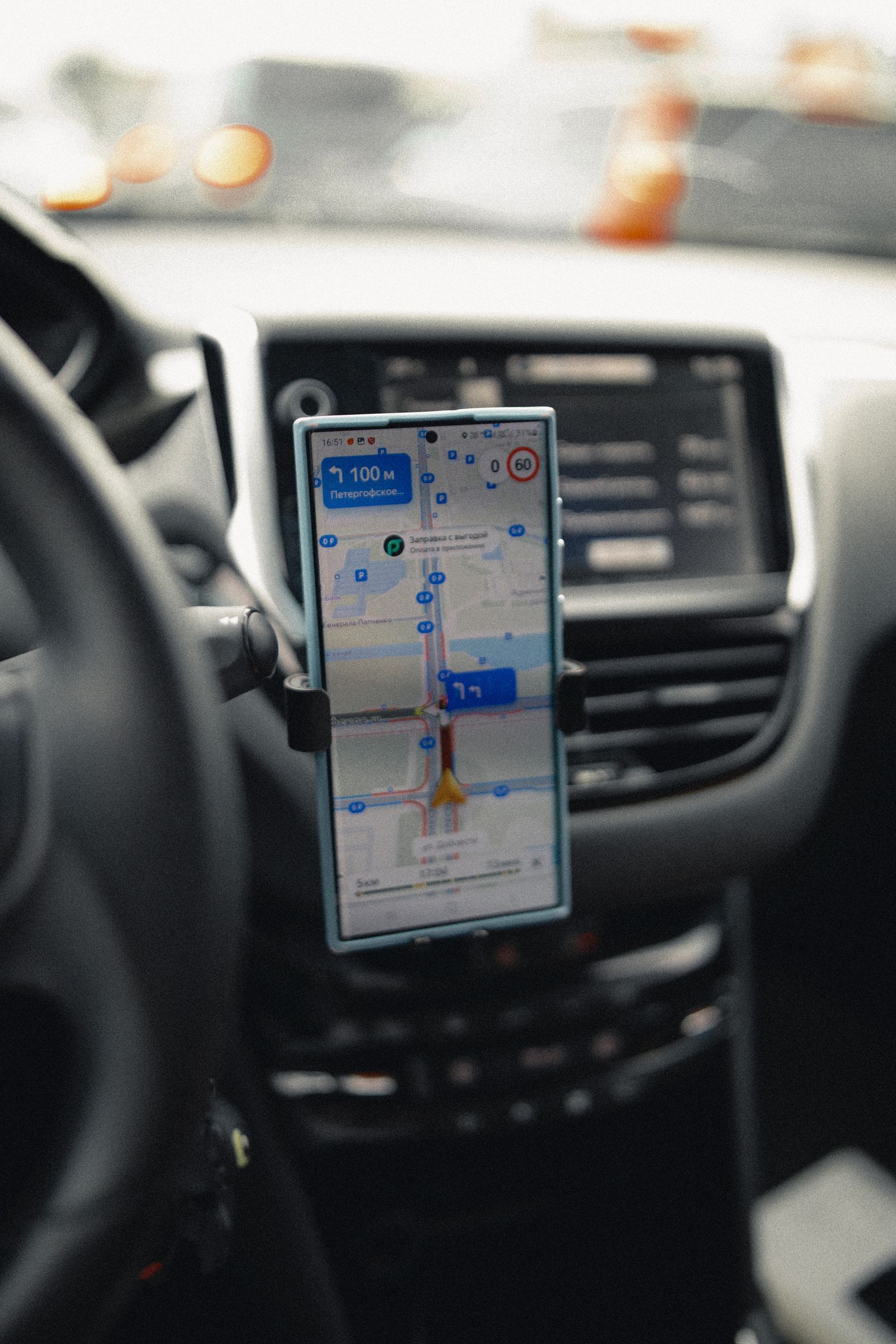
Photo: iddea photo / Pexels
Coordinate Explorer: The Pair Behind the Pin
Click anywhere and read the coordinate pair for that spot, in the same latitude first order Google Maps shows when you drop a pin. Compare it with the pair your right click or long press produced.
Map data © OpenStreetMap contributors. Coordinates are read from the map itself, in the WGS 84 system your phone uses.
On Desktop: Right Click, First Line of the Menu
Open Google Maps in a browser and find your spot. Right click directly on it. A context menu opens, and its first line is the coordinates of the clicked point in decimal degrees, something like 40.689167, minus 74.044444 for the Statue of Liberty. Click that line and the pair is copied to your clipboard, ready to paste into a message, a document, or a spreadsheet. That is the whole technique, and its two failure modes are worth naming: right clicking on a labeled place (a business, a landmark) opens that place's card instead, so click a bare patch of ground a few meters away if the pin must be exact; and the pair is the point you clicked, not the center of your screen, so zoom in before clicking when precision matters, because at country zoom a pixel covers kilometers. The copied pair is in decimal degrees with the standard order, latitude first, which is the order every other section of this guide assumes.
On Android: Touch and Hold Until the Pin Drops
Open the Google Maps app and find the spot. Touch and hold on an unlabeled area of the map until a red pin drops and a panel rises at the bottom of the screen. The coordinates appear in the search box at the top (and in the dropped pin panel as you expand it), in decimal degrees. Swipe the panel up for the full detail, including the pair written out for copying and the share options that send the pin itself. The unlabeled requirement is the part people miss: holding on a restaurant or a station opens that place instead, with its name and reviews, and its coordinates are not the headline. Hold on the bare ground beside the label, the parking lot, the path, the riverbank, and the pin is yours and its pair is exact. If the hold keeps snapping to a nearby place, zoom further in; separation between labels grows with zoom, and the bare patch gets easier to hit.
On iPhone: The Same Hold, a Different Sheet
The iPhone gesture matches Android's: touch and hold an unlabeled spot until the pin drops and the place sheet rises from the bottom. The coordinates appear in the sheet as you scroll it, in decimal degrees, ready to note or to copy, and the sheet's share button sends the pin to any app. The differences from Android are cosmetic, where the pair sits in the layout, but one behavioral note matters on both platforms: the pair belongs to the pin's point, and you can refine it by dragging your view and re dropping the pin rather than by nudging the pin itself. For a point you will navigate back to, save it from the same sheet into a list, because a copied pair in a chat thread is findable for a week and a saved place is findable for years. Our how to drop a pin on Google Maps guide covers the pin's own career, saving, sharing, and labeling, in full.

Reading the Pair: What the Numbers Mean
The pair Google Maps shows is decimal degrees, latitude first, then longitude, separated by a comma and a space in display (the comma is a list separator here, not a decimal mark; the decimals inside each number use periods). Latitude counts degrees north or south of the equator, from minus 90 to 90, with south negative. Longitude counts east or west of the Greenwich meridian, from minus 180 to 180, with west negative, which is why United States longitudes arrive with minus signs. The Statue of Liberty pair, 40.689167, minus 74.044444, says 40.689167 degrees north and 74.044444 degrees west. Six decimal places, the precision Google typically shows, resolves to roughly a hand's breadth on the ground, far more precision than a dropped pin honestly has; treat the last digits as the format's habit, not as a claim. If the pair you are handed looks wrong, swapped numbers are the usual cause: a United States point with its values reversed shows a "latitude" of minus 74, outside the legal range, which is the tell. Our latitude and longitude format guide dissects the pair's anatomy completely.
The Reverse Journey: Searching by Coordinates
Google Maps accepts a pasted pair and flies to it, in any of three formats. Decimal degrees (DD): 40.689167, minus 74.044444. Degrees, minutes, and seconds (DMS): 40 degrees 41 minutes 21.00 seconds N, 74 degrees 2 minutes 40.00 seconds W, which is the same statue in the older dialect. Degrees and decimal minutes (DDM): 40 degrees 41.350 minutes N, 74 degrees 2.667 minutes W. Type or paste the pair into the search box and the pin appears. The rules that keep a search valid are Google's own: latitude first, latitude within minus 90 to 90 and longitude within minus 180 to 180, and a period as the decimal separator, never a comma, since the comma is busy separating the two numbers. A search that fails or lands in an ocean usually broke one of those three rules, most often a European style decimal comma or a swapped order. Converting between the dialects by hand is covered in our convert latitude and longitude to decimal degrees and degrees minutes seconds guides, and the general craft of finding coordinates on any map, paper included, is how to find coordinates on a map, the parent guide this platform specific page hangs from.
The Neighbor in the Panel: Plus Codes
Open the dropped pin's panel fully and, alongside the decimal pair, Google Maps usually shows a plus code: a short string like 87G8Q23J+45 that encodes the same point as a compound code, with a city name attached for the short form. A plus code is not a different location; it is the same coordinates compressed into a code designed for places without addresses, and Maps accepts a full plus code in its search box just as it accepts a coordinate pair. When do you use which? The pair is universal: every GPS device, GIS program, and spreadsheet on Earth eats latitude and longitude. The code is convenient inside the Google ecosystem and spoken communication, shorter to read over a phone call. Our what is a plus code guide explains the code's construction and its grid logic. Knowing both are in the panel, and that they agree because they are the same point wearing two encodings, completes the dropped pin's toolkit: gesture, pair, formats, and code.
Accuracy Honesty: What a Dropped Pin Is Worth
A pin dropped from a screen inherits the map's accuracy, not the surveyor's. Google's imagery and road data are well aligned in most populated areas and can sit meters off in rural or rapidly changing ones, and your click adds its own error, which shrinks as you zoom. So a pair from Google Maps is excellent for rendezvous, records, sharing, and returning, and it is not a legal boundary, a construction stakeout, or a survey. State the source when you pass a pair on ("from Google Maps, dropped pin") and its precision class travels with it. For the phone's own live position rather than a chosen point, the related but different question is coordinates of my location, and for extracting a pair from a photograph's hidden data, how to find coordinates from a photo. Each source has its own honesty label; the habit of attaching it is the skill.
Related Guides
If this page answered part of the question, these coordinates guides cover the rest of the same ground:
- How to Find Coordinates on Apple Maps: Drop a Pin, Swipe Up, Copy the Pair: Apple Maps does not print coordinates on a place's main card, but the pair is two gestures away.
- How to Find Coordinates in Google Earth: Cursor Readout, Placemarks, and Formats: Google Earth shows the coordinates of any point in the lower right corner as your cursor moves, but most people never notice the readout, and...
- How to Find Coordinates in QGIS: Status Bar, Copy Coordinates, and Field Calculator: QGIS shows coordinates in more places than any other GIS, and each answers a different question.
Frequently Asked Questions
How do I get coordinates on Google Maps on a computer?
Right click the exact spot on the map. The coordinates in decimal degrees are the first line of the menu that opens; click that line to copy the pair to your clipboard. If a place card opens instead, you clicked a labeled place; click bare ground nearby.
How do I find coordinates in the Google Maps app?
Touch and hold an unlabeled area of the map until a red pin drops. On Android the coordinates appear in the search box and the pin panel; on iPhone they appear in the place sheet that rises. Holding on a labeled business opens the business instead, so hold the bare ground beside it.
What format does Google Maps use for coordinates?
Decimal degrees by default, latitude first: for example 40.689167, minus 74.044444. For searching, Google Maps also accepts degrees minutes seconds (DMS) and degrees decimal minutes (DDM). Latitude must be between minus 90 and 90, longitude between minus 180 and 180, and decimals use a period, not a comma.
Why does my coordinate search land in the ocean or fail?
The usual causes are a swapped order (longitude first), a decimal comma instead of a period, or a value outside the legal ranges. Check that latitude comes first and is between minus 90 and 90; a "latitude" like minus 74 is a longitude that wandered into the wrong slot.
How accurate are coordinates from a dropped pin?
Good enough for meeting, sharing, and returning: typically within a few meters in well mapped areas, worse where imagery is old or misaligned, and never survey grade. Zoom in fully before dropping the pin to minimize your own click error, and label pairs with their source when you pass them on.
Photo credits: iddea photo (Pexels); Nicholas Fu (Pexels). Photos are served from this site; follow the credit to the library page for the original.