A digital photo is two things: the picture you see, and a block of metadata you do not. That block, called EXIF, records the camera, the settings, the timestamp, and, on most phones, the GPS coordinates of the moment the shutter fired. Finding the coordinates of a photo means reading that tag, and every major platform gives you a way in without installing anything. This guide walks each route, converts the stored format to the decimal form maps use, and explains the two traps that make the tag vanish. The converter below handles the format change once you have the numbers in hand.
Home / Coordinates and Location Formats
How to Find Coordinates From a Photo: Reading the GPS Tag in the File
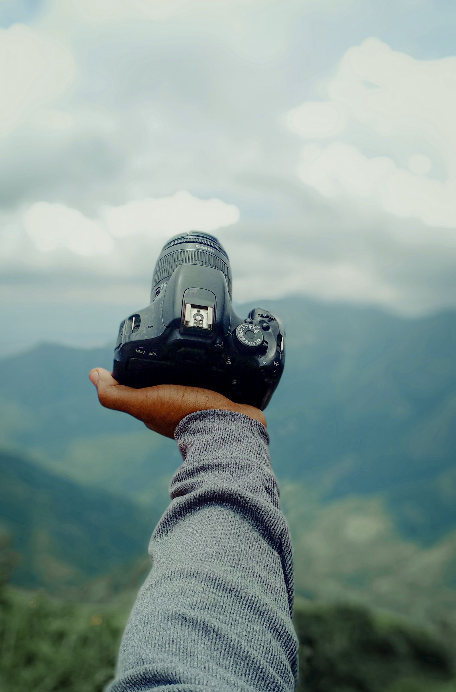
Photo: Hafis Murshid / Pexels
Interactive tool
Coordinate Converter: Restyle the Pair From the Tag
A photo EXIF tag stores degrees, minutes, and seconds. Convert that pair to decimal degrees here with the article formula, then paste it into any map to watch the shutter's birthplace appear.
From decimal degrees
Degrees minutes seconds40° 41' 21.00" N, 74° 02' 40.00" W
Degrees decimal minutes40° 41.350' N, 74° 02.667' W
Plus code (11 digits)87G7MXQ4+M67
Plus code (10 digits)87G7MXQ4+M6
Your latitude breaks down as 40 degrees, 41 minutes, 21.00 seconds. One degree is 60 minutes, one minute is 60 seconds, so a second of latitude is about 31 meters on the ground.
From degrees minutes seconds
Decimal degrees40.689167, -74.044444
Degrees decimal minutes40° 41.350' N, 74° 02.667' W
Plus code (11 digits)87G7MXQ4+M67
Conversions use the WGS 84 coordinate system, the same one GPS satellites and phone maps use. Plus codes are computed with the open location code algorithm, the same method Google Maps uses.
Windows: The Properties Dialog
Right click the photo file, choose Properties, and open the Details tab. Scroll to the GPS section: latitude and longitude appear there in degrees, minutes, and seconds when the tag exists. This reads the file itself, so it works on photos copied from a phone, a camera card, or a download folder, as long as the file is the original. If the GPS section is absent, the tag is absent; the traps section below explains the usual reasons. For batches of photos, the free ExifTool reads tags from whole folders at a command line, and most photo managers, including Adobe Bridge and XnView, show GPS fields in their metadata panels.
Mac: Preview's Inspector
Open the photo in Preview, choose Tools, then Show Inspector, and look for the GPS tab. When the tag exists, the tab shows latitude and longitude and offers to locate the spot on a map. The Photos app shows the same information on the photo's info panel, with a map of where your library was taken. As on Windows, everything depends on the file being an original; a photo that arrived through a social platform or a messaging app has usually been processed, and processing is where tags go to die.
iPhone and Android: Built Into the Gallery
On iPhone, open the photo in Photos and swipe up, or tap the info button: if the photo carries a location, a map appears with the place, and tapping it opens the spot in Maps. The coordinates themselves are one step deeper, in the metadata viewers of the Files app or a free EXIF viewer, but for most purposes the map is the answer. On Android, Google Photos shows the location in the photo's Details panel, with the coordinates stated and a map below them, when the tag exists and location display is enabled. Samsung Gallery and other makers' galleries show equivalent panels. The pattern across platforms is constant: the gallery answers "where" with a map first, and the raw pair is available one level down.

Converting the Tag: DMS In, Decimal Out
EXIF stores coordinates as degrees, minutes, and seconds, with a separate reference letter for hemisphere: N or S for latitude, E or W for longitude. Maps want decimal degrees with a sign. The conversion is the standard one: decimal = degrees + minutes / 60 + seconds / 3600, negative for S and W. A tag reading 40 degrees 41 minutes 21.00 seconds N, 74 degrees 2 minutes 40.00 seconds W becomes 40 + 41/60 + 21/3600 = 40.689167, and minus (74 + 2/60 + 40/3600) = minus 74.044444, which is the Statue of Liberty, the same worked pair as our coordinate notation guide. Paste the pair into any map to verify, or restyle it with the converter above into the dialect you need; the full dialect tour is in latitude and longitude format.
The Two Traps: Stripping and Copies
Trap one: platforms strip the tag. Facebook, Instagram, X, and most messaging apps remove GPS metadata from uploads, deliberately, to protect posters. A photo downloaded from a social feed has almost certainly been stripped, and no tool can recover data that is not there. Trap two: you do not have the original. A photo sent through a messaging app is usually recompressed, and recompression often drops EXIF wholesale. The fix for both traps is the same: get the original file, by email attachment, a cloud drive link, a cable, or AirDrop, and read that. A related setting trap lives on the camera side: if the phone's location services were off for the camera app when the photo was taken, no tag was ever written. Check a recent photo you took at a known place; if it has no GPS section, the camera's location permission is the first suspect. And the timestamp in EXIF is the camera's clock, not GPS time, so a wrong clock gives a wrong time while the coordinates stay right.
The Privacy Flip Side: Removing the Tag
Everything above runs in reverse, and sometimes it should. Before posting an original photo publicly, consider that its tag publishes where it was taken, which for home photos is your address. Windows Properties offers a "Remove Properties and Personal Information" link at the bottom of the Details tab; Mac users can strip location in Photos by exporting without location data; and sharing through the big platforms strips it automatically, which is the one convenience of trap one. The professional habit: keep originals with tags in your private archive, share copies with tags removed. For the coordinates of a place rather than a photo, the direct routes are coordinates of my location and how to find coordinates on a map.
What Else the EXIF Block Tells You
The GPS tag travels with company, and the company is often the point. The timestamp records when the shutter fired on the camera's clock; paired with the coordinates, it places the photographer in space and time together, which is how photo based timelines get built and how alibis get checked. The device model names the phone or camera. The altitude tag, present on many phones, records height above sea level with consumer grade looseness. Software tags reveal editing history. Journalists verify images by reading this block against the claims made for the photo; investigators do the same; and ordinary people use it more innocently every day, sorting a decade of photos onto the map of a life. Photo managers build their maps view from exactly these tags, which is why a library with location permission granted becomes a searchable atlas. Knowing the block exists, and that it survives in originals and dies in copies, is most of digital photo literacy in one paragraph.
Cameras, Drones, and the Dedicated Hardware Cases
Phones tag by default because they always know where they are. Dedicated cameras vary: models with built in GPS tag natively; models without it borrow position from a phone app over Bluetooth, or record a tracklog you sync later; and models with neither produce beautiful, placeless files that geotagging software can marry to a GPS track recorded separately, matching timestamps between the two. Drones are the enthusiastic taggers of the hardware world: every frame carries coordinates, altitude, and gimbal data, because the aircraft navigates by the same numbers. The reading workflow is identical across all of it, Properties or Inspector or a metadata tool, because EXIF is a standard, not a brand feature. The differences live in how the tag got written, which matters when it is wrong: a camera that borrowed a stale phone position tags the last fix, not the shutter's true location, and a tracklog sync fails silently when the camera clock drifted. Verify a hardware tag against a known landmark before building anything on it, the same discipline as any other coordinate in coordinate notation.
Organizing a Library by Its Tags
Once you trust the tag, the library becomes a map. Photo managers on every platform offer a places view built from GPS tags: your years arrange themselves into clusters at homes, trailheads, and cities, and searching by place becomes as natural as searching by date. The workflow that makes this sing is curation at the edges: geotag the camera photos that lack tags by marrying them to a phone photo taken at the same moment, whose tag you copy across with any metadata editor; correct the rare wild tag, the photo that claims the ocean because the phone fixed late, before it teaches the library a lie; and keep the archive originals untouched in a master folder, working on copies, so the metadata you curate is the metadata that survives. Families digitizing old prints should know the honest limit: a scan has no EXIF from the scene, only from the scanner, and its location must be added by hand and memory, which is a worthy afternoon with relatives and a notebook. The tag, in the end, is memory with coordinates, and the tools in this guide are how you read what your own life recorded.
Related Guides
Readers working through this topic usually need its closest companions too. These coordinates guides cover the neighboring ground:
- How to Find Coordinates on a Garmin GPS: Handhelds, Car Units, and Watches, in the Right Format: A Garmin always knows where it is; the skill is persuading it to show you the number, in a format you can use.
- How to Find Coordinates on Apple Maps: Drop a Pin, Swipe Up, Copy the Pair: Apple Maps does not print coordinates on a place's main card, but the pair is two gestures away.
- How to Find Coordinates on the Unit Circle: Build Every Point From Two Triangles: Every coordinate on the unit circle comes from one rule and two triangles.
Frequently Asked Questions
Where are a photo's GPS coordinates stored?
In the file's EXIF metadata, as a GPS tag written by the phone or camera at capture time. It stores latitude and longitude in degrees, minutes, and seconds, plus hemisphere reference letters. If the camera had no location access when the photo was taken, the tag was never written and cannot be recovered.
Why does my photo have no location data?
The three usual reasons: the camera app did not have location permission when the photo was taken; the photo came through a social platform or messaging app that stripped the metadata; or you are looking at a copy rather than the original file. Get the original from the photographer and check its Details or Inspector panel again.
How do I convert the coordinates from a photo into a format maps accept?
The tag stores degrees, minutes, and seconds. Convert with decimal = degrees + minutes / 60 + seconds / 3600, applying a negative sign for S latitude or W longitude. A tag of 40 degrees 41 minutes 21 seconds N, 74 degrees 2 minutes 40 seconds W becomes 40.689167, minus 74.044444, which any map app accepts directly.
Can I find coordinates from a screenshot?
No. A screenshot is a new image created by the phone's display system; it carries no GPS tag from the original photo. The same applies to photos saved from social media. Only an original camera file, or a faithful copy of one, keeps the tag.
Is it safe to share photos with location tags?
For public posting, treat the tag as publishing the location, because it is. Share through platforms that strip metadata, or remove the location before sharing originals: Windows Properties has a remove properties option, and Photos on Mac can export without location. Keep tagged originals in your private archive, where the tag is a feature, not a leak.
Photo credits: Hafis Murshid (Pexels); Kayley (Pexels). Photos are served from this site; follow the credit to the library page for the original.