Google Earth is the tool people open to look at a place, and quietly one of the best coordinate readers ever shipped: the latitude and longitude of whatever your cursor touches are printed on screen at all times. This guide makes that readout deliberate. You will learn where it lives in Google Earth Pro on the desktop and in the web version, how to freeze an exact point with a placemark instead of chasing a moving cursor, how to change the readout's format, and how to reverse the flow and fly to coordinates you already hold. The same job in the flat map is how to find a coordinates on google maps; Earth adds the third dimension and a better memory.
Home / Coordinates and Location Formats
How to Find Coordinates in Google Earth: Cursor Readout, Placemarks, and Formats

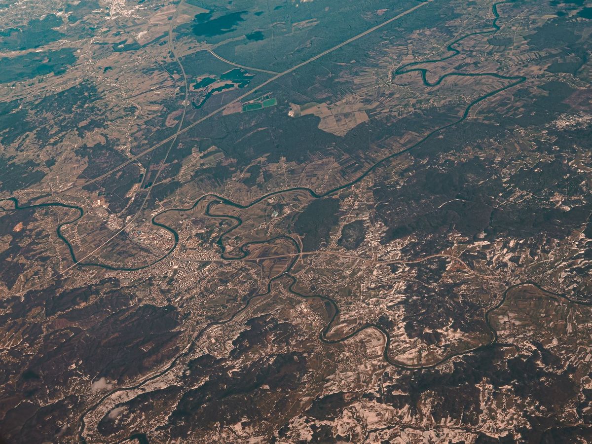
Photo: Zelch Csaba / Pexels
Interactive map
Coordinate Explorer: The Same Readout, Live
In Google Earth the pair hides in the lower right corner and follows your cursor. Click a spot here and read the same latitude and longitude in decimal degrees, then switch formats the way Earth does under Tools, Options, 3D View.
Decimal degrees40.689167, -74.044444
Latitude40.689167° N
Longitude74.044444° W
Degrees minutes seconds40° 41' 21.00" N, 74° 02' 40.00" W
Degrees decimal minutes40° 41.350' N, 74° 02.667' W
Plus code87G7MXQ4+M67
Map data © OpenStreetMap contributors. Coordinates are read from the map itself, in the WGS 84 system your phone uses.
The Cursor Readout: Bottom Right, Always On
Open Google Earth and move your mouse across the terrain. In the lower right corner of the window, a status readout updates continuously: latitude and longitude of the point under the cursor, alongside the imagery date and the eye altitude. That is the whole trick, and the reason nobody teaches it is that there is nothing to click. Two disciplines make it accurate. Zoom in before reading: at continental zoom your cursor covers a town, and the readout is precise about a point you have not actually chosen; at street level the same readout describes a rooftop. And read the center of the cursor's hot spot, the tip of the pointer, not the middle of the arrow graphic. In the web version of Earth (earth.google.com in the browser) the same readout appears in the corner as you move; on touch devices, where there is no cursor, use the placemark method in the next section instead, which is the touch native way to freeze a point.
Placemarks: Freezing the Exact Point
A moving readout cannot be copied, so for any point you intend to keep, drop a placemark. In Google Earth Pro: position the view, click the Add Placemark button (the pushpin icon in the toolbar), and a pin appears at the center of the view with its properties dialog open, showing the latitude and longitude fields in editable boxes. Drag the pin or nudge the view until the pair is exactly the spot, then read, copy, or fine type the numbers in the dialog; typing a pair here moves the pin, which is also how you place a pin at known coordinates. Name it and save, and the placemark persists in your places, exportable as KML. On the web and mobile versions, long press (or use the search and projects tools) to drop a pin and read its coordinates from the info card. The placemark pair is the one to trust for records, because it is stable, copyable, and zoom verified; the craft of choosing the point itself is the same as in how to find coordinates on a map.
Switching the Format: Decimals, DMS, and UTM
Earth can speak several coordinate dialects, and the setting is buried one level down. In Google Earth Pro: Tools, Options (on Mac, the Earth menu's Settings), open the 3D View tab, and under Show Lat/Long choose between decimal degrees, degrees minutes seconds, degrees decimal minutes, and Universal Transverse Mercator. The cursor readout, placemark dialogs, and grid all follow the choice. Decimal degrees is the interchange format every other app accepts, and the right default; DMS is for matching paper charts and older documents; UTM is for working with topographic maps and ground teams. The conversions behind the dialects, should you need to translate by hand or check a suspicious pair, are in convert latitude and longitude to degrees minutes seconds and the UTM companion. Note what the setting does not change: the underlying point. A placemark is a place on Earth, and the format is only its spelling, which is why switching formats and re reading the same pin is the safest conversion tool of all.
The Grid Overlay: Reading Position Without a Cursor
Turn on the lat long grid (View menu, Grid, or Ctrl+L in Earth Pro) and the globe gains a graticule: labeled lines of latitude and longitude draped over the terrain. The grid teaches what the readout cannot, position sense: how far apart a degree's lines sit at this latitude, which direction is which, and roughly where a pair will fall before you read it. For estimating a point between lines, the grid plus zoom is the digital version of the paper skill in our map coordinates guide. The grid spacing adapts to zoom, refining as you descend, and in UTM display mode the grid follows the UTM zones instead, which is why surveyors and field teams keep it on permanently.
The Reverse Trip: Fly to Coordinates You Already Have
Earth reads coordinates as fluently as it writes them. Paste a pair into the search box, in decimal degrees ("40.689167, -74.044444"), in DMS with the symbols your keyboard allows, or as a plain address mixed with numbers, and Earth flies to the point and drops a temporary marker. This is the fastest sanity check in all of mapping: someone sends you a pair, you paste it, and in three seconds you see whether it lands on their field or in the ocean off West Africa (the classic symptom of swapped latitude and longitude or a dropped minus sign). If it lands in the sea, the debugging grammar is the one in can latitude and longitude be negative: order first, signs second, magnitude third. Save the verified landing as a placemark and the pair graduates from message text to map record.
Accuracy Honesty in Earth
Earth's readout is exactly as precise as its imagery alignment, which is excellent in most settled areas and occasionally meters off in rural, mountainous, or rapidly rebuilt ones. Read pairs at the highest sensible zoom, treat them as rendezvous and record grade, not survey grade, and note the imagery date printed beside the readout: a pair taken from five year old imagery describes the place as it was, and new roads and buildings may have moved the truth. For your own live position, Earth is the wrong tool entirely; that is the phone's job, covered in coordinates of my location.
Earth Pro vs the Web Version: Which Reader to Use
Both versions read coordinates the same way, and the choice is about memory and machinery. Google Earth Pro, the free desktop application, is the serious reader's tool: placemarks organize into folders, persist between sessions, export as KML for GIS tools, and the historical imagery slider lets you read the coordinates of a place as it was, which matters for vanished buildings, old shorelines, and property history. Its Options dialog is also where the format setting lives in fullest form, including the UTM readout. The web version asks nothing of the machine and is always current, but its projects live in Google Drive and its toolset is a subset. For a one off pair, the web version is faster to reach. For a growing collection of verified points, Pro is the desk the collection deserves, and the KML it exports is the bridge into gis for beginners territory, where placemarks grow up into layers.
Reading the Ground, Not Just the Numbers
Earth's real advantage over a flat map is that coordinates come with terrain attached, and two reading habits exploit it. First, tilt the view: the same pair that reads as a dot on a flat map becomes a ridgetop, a valley floor, or the far bank of a river in 3D, and half of all "wrong coordinates" reports are actually right coordinates read without their terrain, a point on the correct line of latitude that belongs on the other side of the ridge. Second, use the historical imagery slider in Earth Pro before trusting a pair for anything that changes: new subdivisions, rerouted roads, and cleared land all mean a pair copied from an old screenshot may describe a field that is now a parking lot. The readout's imagery date, mentioned earlier, is the label that keeps the pair honest; a coordinate plus its imagery date is a citable fact, while a coordinate alone is a rumor with decimals. These habits are why Earth, rather than the faster flat maps, remains the verification desk for pairs that other people send you.
Related Guides
Readers working through this topic usually need its closest companions too. These coordinates guides cover the neighboring ground:
- How to Get Coordinates From a KML File: Text Editor, Google Earth, QGIS, and Code: A KML file is plain XML text, and its coordinates sit in the open, inside coordinates tags, in longitude, latitude, altitude order.
- Convert GPS Coordinates to XYZ: The Earth-Centered System, Explained With Worked Examples: Latitude and longitude are angles on a globe.
- How to Read Latitude and Longitude on a Sectional Chart: A VFR sectional chart is a paper coordinate machine: its graticule is drawn in degrees and minutes, ticked at one-minute intervals, and built so a...
Frequently Asked Questions
Where does Google Earth show coordinates?
In the lower right corner of the window, continuously, for the point under your cursor, alongside the imagery date and camera altitude. In Google Earth Pro and the web version alike, the readout is always on; you only have to look at it, zoomed in far enough for the point under the cursor to be the point you mean.
How do I get the coordinates of an exact point in Google Earth?
Drop a placemark: Add Placemark in the toolbar of Earth Pro (or long press on web and mobile), drag the pin to the exact spot, and read the latitude and longitude in its properties dialog or info card. The placemark pair can be copied, named, saved, and exported, unlike the moving cursor readout.
How do I change Google Earth to show DMS instead of decimals?
In Google Earth Pro, open Tools, Options, the 3D View tab, and under Show Lat/Long pick degrees minutes seconds (or degrees decimal minutes, or UTM). The cursor readout, placemarks, and grid all switch to the chosen format; the points themselves do not change.
Can I search Google Earth by coordinates?
Yes. Paste a pair into the search box in decimal degrees or DMS and Earth flies to it and marks it. This is the quickest check of a pair someone sent you: a landing in the ocean usually means the latitude and longitude are swapped or a minus sign was dropped.
How accurate are coordinates read from Google Earth?
As accurate as the imagery alignment beneath them, typically within a few meters in well mapped areas and occasionally worse in rural or fast changing ones, and only as current as the imagery date shown on screen. Fine for finding, recording, and returning to places; not a survey or boundary source.
Photo credits: Zelch Csaba (Pexels); Alexander Nadrilyanski (Pexels). Photos are served from this site; follow the credit to the library page for the original.