Every map, graph, GPS readout, and game world runs on one invention: the coordinate. It is a humble-looking thing, two numbers separated by a comma inside parentheses, and it carries an enormous claim: that any point anywhere can be named exactly, unambiguously, by numbers alone, in a way any stranger can decode. No pointing, no "over there, past the big tree," no ambiguity. This article explains what coordinates are from the ground up: the core idea of measuring from reference lines, the paper version every student meets, the planetary version every phone uses, the notorious order flip between them, and the different costumes, decimal degrees, degrees and minutes, meters on a grid, that a single point can wear. By the end, a pair like 40.689167, -74.044444 will read the way it should: not as trivia, but as an address.
Home / Coordinates and Location Formats
What Are Coordinates? The Address System Behind Every Map and Graph
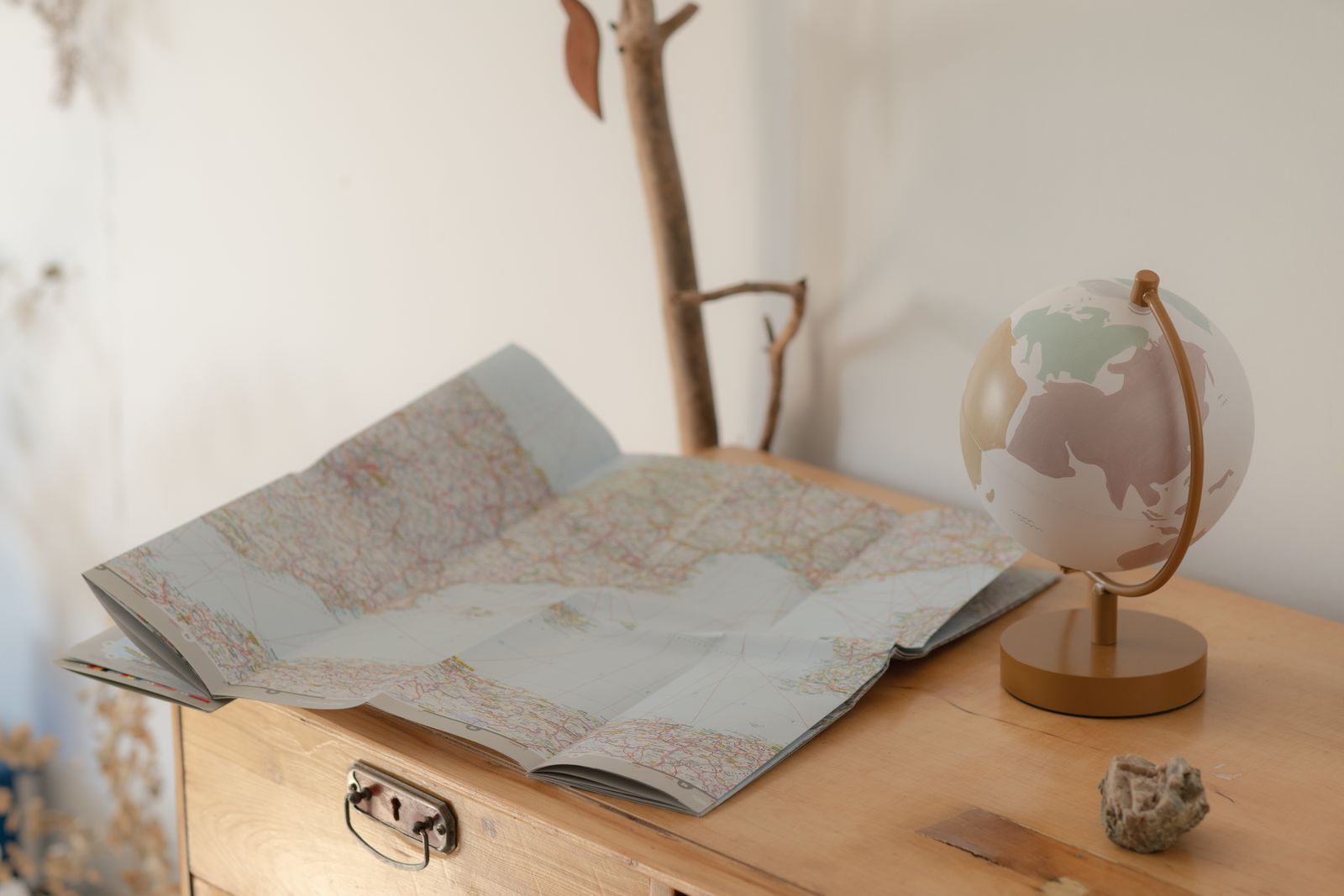
Photo: Marina Leonova / Pexels
Coordinate Converter: The Same Point, Both Systems
Take the Statue of Liberty pair from this article, 40.689167, -74.044444, and convert it between decimal degrees, degrees minutes seconds, and degrees decimal minutes. Latitude plays the y role and longitude the x role, whichever order a tool asks for them in.
From decimal degrees
Your latitude breaks down as 40 degrees, 41 minutes, 21.00 seconds. One degree is 60 minutes, one minute is 60 seconds, so a second of latitude is about 31 meters on the ground.
From degrees minutes seconds
Conversions use the WGS 84 coordinate system, the same one GPS satellites and phone maps use. Plus codes are computed with the open location code algorithm, the same method Google Maps uses.
The Core Idea: A Point Is Where Two Measurements Meet
Strip everything else away and a coordinate system is a deal a community makes: agree on some reference lines, and agree to locate every point by its distances from those lines. One measurement alone cannot do it. Saying a point is "3 units from the vertical line" narrows it to a whole line of candidates; saying it is also "5 units from the horizontal line" leaves exactly one spot where the two conditions are both true. That is why coordinates come in pairs on flat surfaces: two independent measurements, two reference lines, one intersection, one point. The pair is ordered, which is the part beginners underestimate: the first number always measures against the same reference, the second against the other, and swapping them moves the point. A coordinate is therefore less like a name and more like a recipe: follow the first measurement, then the second, and you arrive at the same place everyone else following the recipe arrives. Everything else in this article, axes, angles, grids, is machinery for making the two measurements precise.
Coordinates on Paper: The Cartesian Plane
The paper version is the Cartesian coordinate system, named for René Descartes, who published the idea in 1637 and fused algebra with geometry in the process. Draw two perpendicular number lines: the horizontal x-axis and the vertical y-axis, crossing at the origin, the point (0, 0). A coordinate pair (x, y) then reads as instructions: start at the origin, move x units horizontally (right if positive, left if negative), then y units vertically (up if positive, down if negative). The point (3, 5) sits three right and five up. The axes divide the plane into four quadrants, and the signs of the pair tell you the quadrant at a glance: (3, 5) is positive-positive, first quadrant; (-2, 4) is second; (-3, -1) is third; (4, -2) is fourth. Points on the axes themselves, like (0, 7) or (-5, 0), belong to no quadrant, a detail exams love. On this plane, equations become pictures: a line is the set of all pairs satisfying its equation, which is the machinery our guide to finding coordinates from slope-intercept form uses to manufacture points, and the plotting skills in finding Cartesian coordinates build on directly.
Coordinates on Earth: Latitude and Longitude
Zoom out from the page to the planet and the same idea is running, with two changes: the surface is a sphere, so the measurements are angles, and the reference lines are physical. The equator plays the role of the x-axis, the great circle halfway between the poles. The prime meridian, the line of longitude agreed to pass through Greenwich, London, plays the role of the y-axis. Latitude measures the angle north or south of the equator, from 0 degrees at the equator to 90 at each pole. Longitude measures the angle east or west of the prime meridian, from 0 to 180. A latitude-longitude pair is therefore a coordinate in exactly the paper sense: two measurements from two agreed references, intersecting at one point on the surface. The Statue of Liberty stands at about 40.689167 degrees north, 74.044444 degrees west. The crossing of the two zero lines, (0, 0), is not on land at all: it is a patch of open Atlantic in the Gulf of Guinea, so thoroughly the origin of the world system that weather buoys and jokes about "Null Island" gather there.

The Order Problem: Why the Pair Flips Between Math and Maps
Here is the trap that catches everyone once. On paper, the convention is (x, y): horizontal measurement first. Longitude is the horizontal-style measurement, east-west along the equator's direction; latitude is the vertical-style one, north-south. So in (x, y) logic, a location should be written (longitude, latitude), and in the professional GIS world it is: spatial data stores x as longitude and y as latitude. But everyday map culture, Google Maps included, writes latitude first: 40.689167, -74.044444 is latitude, then longitude. The everyday order survives because people say "lat long" the way they say "north then east," and because latitude was historically measured first by sailors reading the sun. Neither order is wrong; each is a convention with a constituency. What is wrong is mixing them: paste a GIS-ordered pair into a latitude-first app and the Statue of Liberty lands in the southern ocean off Antarctica, because the numbers have been silently reinterpreted. Whenever coordinates behave absurdly, swapped order is the first suspect. The tool above this article exists partly to make the formats and orders concrete: convert the Statue of Liberty pair and watch the same point persist through every representation.
Same Point, Many Costumes: Formats and Units
A coordinate pair is an idea; a format is its spelling, and the same point wears several. Decimal degrees, the format above, writes each angle as one number with a decimal fraction, with negative signs standing in for south and west: -74.044444 means 74.044444 degrees west. Degrees, minutes, and seconds split the angle like an hour of time: 40 degrees, 41 minutes, 21 seconds north is the same latitude, since a degree holds 60 minutes and a minute 60 seconds. Degrees and decimal minutes, common in marine and aviation contexts, split the difference. Signs and letters are interchangeable in these systems: 40.689167 N equals +40.689167, and writing both a sign and a letter is the classic beginner's error that flips a hemisphere. Then there is a deeper costume change: projected coordinates abandon angles for meters on a flattened grid, so the Statue of Liberty also answers to roughly 580,741 meters east and 4,504,692 meters north in its UTM zone. Those are still coordinates, the same recipe idea with rulers instead of protractors, and the comparison in latitude and longitude versus northing and easting explains when each family is the right tool. Our practical guide to finding a coordinates on Google Maps shows where these formats surface inside the app people actually use.
The Third Number: When a Pair Becomes a Triple
Flat surfaces need two measurements, but the world is not flat, and many coordinate systems quietly carry a third number: height. A full GPS position is a triple, latitude, longitude, and altitude above sea level or above the ellipsoid the system uses as its sea, and the third number is what lets aircraft separate vertically, lets hikers know whether the pass is above them, and lets flood modelers decide which streets the water reaches. Height is also where coordinates get humble, because vertical measurement is harder than horizontal: a consumer GPS position can be good to a few meters across the ground and noticeably worse in altitude, and the two "sea levels" in common use, the ellipsoid model and the geoid model that actual sea level follows, differ by tens of meters in places, so an altitude without a stated reference is a number with a silent margin. None of this changes the core idea; it extends it. Each added dimension a problem genuinely has needs one more measurement, one more reference, one more number in the set: two for a map, three for the solid world, and a timestamp riding along whenever the point itself moves, as it does for a ship, a storm, or a delivery van.
Precision Is Not Accuracy
One last distinction keeps coordinates honest, and confusing the two is a professional-grade error. Precision is how finely a coordinate is written: 40.689167 is more precise than 40.69, because its extra decimals nominate a smaller patch of ground. Accuracy is whether the point it nominates is the right patch. A coordinate can be exquisitely precise and badly inaccurate, six decimals pointing confidently at the wrong building because the sensor was off, the order was swapped, or the system was mislabeled. The decimals describe the size of the claim, not its truth. This is why coordinates from different sources disagree, why a delivery pin sits one street over, and why the verification habits elsewhere on this site, checking the system, the order, and the source before trusting the pair, matter more than counting decimal places. A coordinate is a claim about the world, written in numbers. Read it the way you would read any claim: what exactly does it say, and how much should you believe it?
How to Read Any Coordinate Pair You Are Handed
Faced with a bare pair of numbers from an unfamiliar source, four questions decode it. First, which system: angles in degrees, or meters on a named grid? Numbers in the millions are grid meters; numbers within 180 are almost always degrees. Second, which order: does the first number behave like a latitude, never beyond 90, or could it be a longitude? A first number larger than 90 exposes the order instantly. Third, which signs or hemispheres: negative latitude is southern, negative longitude is western, and a letter suffix says the same thing in words. Fourth, what precision: each decimal place in degrees refines the location roughly tenfold, from a region at one decimal to a doorway at five or six, so a pair quoted to two decimals is a neighborhood, not a doorstep, whatever its source claims. Answer those four and any coordinate you meet, in a spreadsheet, a hiking guide, a property listing, or a distress call, resolves into a point you can find, plot, and verify. That is the whole invention working as intended: two numbers, honestly labeled, that anyone on Earth can follow to the same square of ground.
Related Guides
The closest companions to this guide are the coordinates guides below. Each one picks up a thread this page starts:
- What Is Geocoding? How an Address Becomes a Point on the Map: Geocoding is the process that turns a text address into geographic coordinates a map can plot, by matching the address against reference data of...
- How to Find Coordinates by Address: Forward Geocoding in Maps, Nominatim, and Bulk: Turning a street address into latitude and longitude is called forward geocoding, and there are three ways to do it depending on how many...
- How to Find Coordinates on the Unit Circle: Build Every Point From Two Triangles: Every coordinate on the unit circle comes from one rule and two triangles.
Frequently Asked Questions
What are coordinates in simple words?
Coordinates are a pair of numbers that give the exact address of a point. Each number measures how far the point is from a reference line: on a graph, the two axes; on Earth, the equator and the prime meridian. Follow the two measurements and you arrive at the one point they both describe.
Why do coordinates come in pairs?
Because one measurement cannot pin down a point on a surface. Being 3 units from one reference line leaves a whole line of possible points; adding the distance from a second reference line leaves exactly one. Flat surfaces need two numbers, and adding height, as GPS does, adds a third.
Which comes first, latitude or longitude?
It depends on the world you are in. Map apps and everyday usage write latitude first, as in 40.689167, -74.044444 for the Statue of Liberty. GIS and data files usually store longitude first, as the x value. The orders are both legitimate conventions, and confusing them is the most common coordinate error there is.
What are the coordinates of the equator and prime meridian crossing?
Latitude 0, longitude 0: the point where the world's two reference lines meet. It lies in the Atlantic Ocean, in the Gulf of Guinea off West Africa, not on land. It is the origin of the geographic coordinate system, the (0, 0) of the planet.
Are coordinates the same thing as an address?
No, though they do similar work. An address names a place through a human system of streets and buildings, and works only where that system exists. Coordinates name a point through measurement, and work everywhere on Earth, including oceans, deserts, and places with no streets at all. Many addresses can share one coordinate area, and every address sits at some coordinate.
Photo credits: Marina Leonova (Pexels); Jyron Barclay (Pexels). Photos are served from this site; follow the credit to the library page for the original.