Every nautical chart carries a large, beautiful compass rose somewhere in its open water, and most readers treat it as heraldry, a nod to the age of sail printed for charm. It is not charm. The rose is an instrument, the chart's own protractor and north reference combined, and it knows something your compass does not: the difference between the two norths, at that place, in that year, printed in its center. Our guide to compass directions names teaches the 32 points that decorate the rose's rim, the naming system sailors steered by. This guide reads the rose itself as a working tool: its two rings, the variation statement at its heart, the conversion arithmetic that turns a compass course into a chart course, and the three-figure bearing notation that keeps spoken and written directions unambiguous. The NOAA Ocean Service teaches the rose the same way in its chart tutorial, and this article follows that authority.
Home / Map Skills for Travel and Outdoors
How to Read a Compass Rose: Two Rings, One Variation, and Bearings in Three Figures
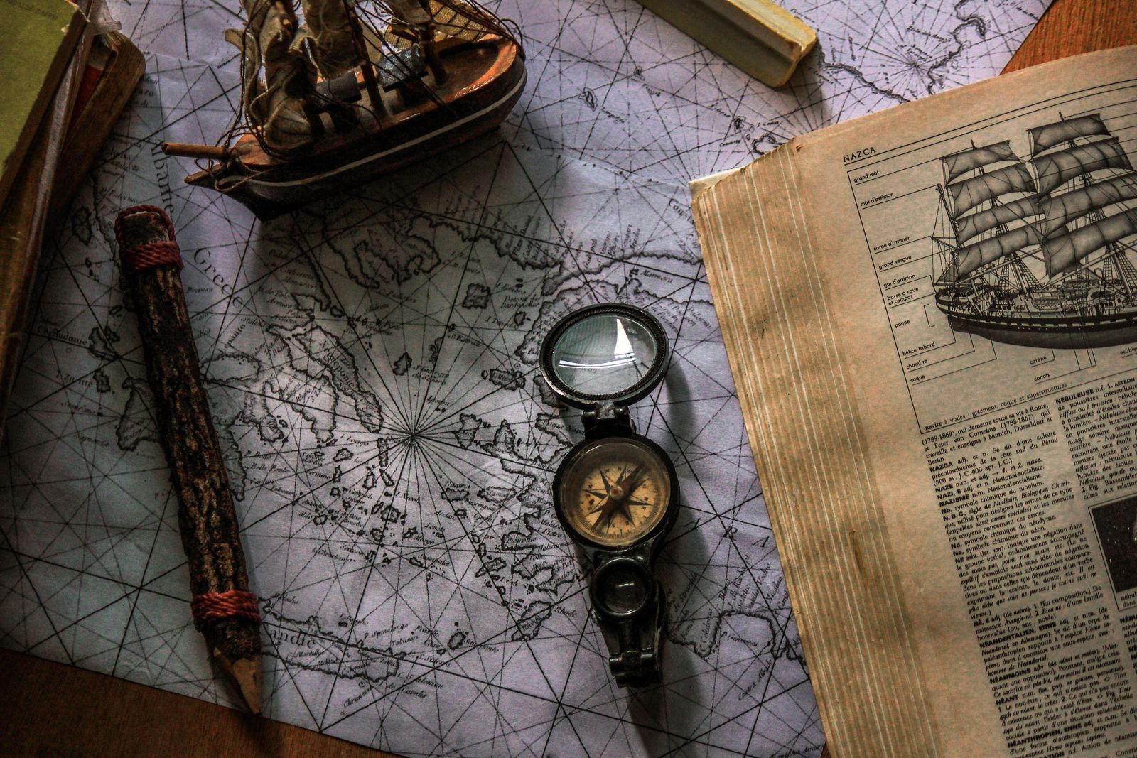
Photo: Abdessalem BENYAHIA / Pexels
Read the Rose: The Checklist
Check off each step as you finish it. Your progress stays on this page.
0 of 7 complete
0% done
Find the Rose and Read Its Furniture
On a paper nautical chart, find open water and you will find the rose: a large circle, often two concentric circles, with a star or fleur marking north and degree graduations around its rim. It is placed where it is placed for use, in water deep and empty enough that a navigator can lay a ruler or parallel rule across it without the rose sitting on top of the coastline being measured. Around and inside it is furniture that each does a job. The degree scale runs 0 to 360 clockwise from north, because bearings are measured clockwise from north, always. The point star at the rim carries the traditional 32 points for those who still speak in them. And in or near the center, in small print that repays a magnifier, sits the variation statement: a value in degrees east or west, the year it was calculated for, and the annual change, the rate at which the value is drifting. Hold those three numbers in mind; they are the rose's gift, and the next sections spend them.
The Two Rings: True Outside, Magnetic Inside
The rose has two rings because the world has two norths. The outer ring is graduated against true north, the direction of the geographic pole, the north of the chart's own grid and graticule. The inner ring is graduated against magnetic north, the direction a compass needle points, at the place and time the chart was made. The two rings are rotated against each other by exactly the local variation, so the rose is a mechanical converter: a direction read on one ring can be carried to the other by eye, without arithmetic, which mattered enormously when arithmetic was done by lamplight in a seaway. A course plotted on the chart is naturally measured against the outer, true ring, because the chart itself is drawn true. A course steered by the ship's compass is naturally magnetic, read from the inner ring's frame. The rose stands between the chart and the compass, translating. When you lay a straightedge from the rose's center along your plotted course line's direction, you read true bearing on the outer ring and magnetic bearing on the inner ring off the same edge, and the difference between your two readings is the variation, visible as the rings' offset. That is the whole design, and once seen it cannot be unseen: the rose is the two norths, drawn.
The Variation Statement, Updated to Today
The variation printed in the rose is dated, and magnetic north wanders, so the chart tells you how to bring its number forward: the value, its year, and the annual change, stated as increasing or decreasing by so many minutes a year. The update is simple arithmetic. Multiply the annual change by the years elapsed since the printed year and apply it in the stated direction. A chart whose rose reads variation 12 degrees west in its stated year, with an annual change decreasing the westerly value, will be some minutes less westerly today, and on a modern chart the change over a few years is small but real, exactly the size of error that puts a careful navigator's plotted position slightly, stubbornly off. Treat the printed variation as a measurement with a birthday, not a constant of nature. This is also where the rose parts company with the land compass world: a hiking map handles the same quantity under the name declination, and our guide to orienting a map and compass works that side of the street; the quantity is one, the names and the printed homes for it are two.
Converting: True Equals Magnetic Plus Variation
When the straightedge trick is not at hand, the conversion is one rule, and it is worth stating in its standard form: true bearing equals magnetic bearing plus variation, with east variation counted positive and west variation counted negative. Work the example until the rule is a reflex. You steer a compass course of 085 degrees magnetic in waters where the variation, updated to today, is 12 degrees west. West is negative, so true = 085 + (-12) = 073 degrees true. Your ship's head, by the chart's reckoning, is on 073, and that is the line you plot. Run it backwards to go from chart to helm: plot a true course of 120 degrees to a waypoint, variation 8 degrees east, and the compass course is true minus variation, 120 - 8 = 112 degrees magnetic to steer. The errors all live in the sign, so mariners check with the old memory hook, variation west, magnetic best; variation east, magnetic least, meaning the magnetic number comes out larger than true under west variation and smaller under east, exactly as the worked example shows: 085 magnetic against 073 true, magnetic best, west. If your conversion contradicts the hook, your sign is wrong, and the hook has just paid for itself.
Bearings in Three Figures
The rose's degree ring supports the notation mariners insist on: bearings are written and spoken in three figures, always, with leading zeros supplied. North is 000, east is 090, a course northeast by east is 056, and the worked course above is spoken "zero seven three," never "seventy-three." The discipline sounds fussy until you have heard a bearing passed by voice in wind and engine noise: three figures tells the listener how many digits to expect, so a dropped or garbled digit announces itself instead of silently changing the course by a hundred degrees. On paper the same rule protects the plot, because 073 and 73 in a hurried hand are one smudge apart, while the habit of always writing the zero keeps the number's shape constant. When you read the rose with a straightedge, read it in three figures aloud, even alone. The chart, the compass, and your own voice then agree on the same convention, which is what conventions are for.
Not to Be Confused With: The Wind Rose
One namesake causes real confusion in libraries and search results, so separate them cleanly. A wind rose is a different diagram that shares the rose's shape and nothing else: it is a meteorological chart showing how often wind blows from each direction at a place, with arms whose lengths encode frequency, used by climate summaries, airport planners, and sailors reading a pilot chart's small inset roses for the winds of a season. The compass rose of this article is a direction reference, a protractor married to the two norths; the wind rose is a statistic wearing a similar costume. The practical test is what the diagram claims to know. If it tells you where north is and lets you measure a bearing, it is a compass rose. If it tells you what the wind usually does, it is a wind rose, and no bearing should ever be taken from it. Charts sometimes carry both, the great compass rose in open water and small wind roses along a route, which is exactly why the distinction is worth the paragraph it costs.
Boxing the Compass at the Rose
The rose is also the natural classroom for the oldest skill in its world: boxing the compass, reciting all 32 points in order, clockwise from north, without hesitation. Sailors learned it standing at exactly such a rose, and the points are printed around its rim as the star's rays: north, north by east, north-northeast, northeast by north, and onward through the full circuit back to north. The exercise is not nostalgia. A navigator who can box the compass owns the rose's geometry in their head, converts a shouted point into a direction instantly, and reads the degree ring as a refinement of a structure they already know rather than as 360 disconnected numbers. Our names guide gives the full point table with degrees and the grammar that generates the names; the rose gives you the place to stand while you learn to say them. Between the two, a reader can take any chart's most beautiful object and use every part of it: points by name, bearings by degree, north in both its kinds, and the printed arithmetic to move between them.
Related Guides
The closest companions to this guide are the travel and outdoors map skills guides below. Each one picks up a thread this page starts:
- How to Read a Compass on iPhone: Headings, Locked Bearings, and the Numbers at the Bottom: The Compass app on iPhone is a real magnetic compass with three extras a pocket compass cannot match: a digital heading readout, a bearing lock...
- Map Scale Bar: Read It, Measure With It, and Draw One That Tells the Truth: The scale bar is the hardest-working object on a printed map: a small ruler drawn in the map's own units that lets you turn any measured distance...
- Why Is My Phone Compass Wrong? Diagnose the Offset Before You Recalibrate: A phone compass that points the wrong way is almost never broken.
Frequently Asked Questions
Why does a compass rose have two rings?
Because there are two norths. The outer ring is graduated against true north, the geographic pole direction the chart itself is drawn to. The inner ring is graduated against magnetic north, where a compass needle points. The rings are offset by the local variation, so the rose converts between chart bearings and compass bearings by eye.
What is variation on a nautical chart?
Variation, called declination on land maps, is the angle between true north and magnetic north at that place. The rose prints it in or near its center, with the year it was calculated and the annual change, because magnetic north wanders and the value must be updated to the current year before it is used.
How do you convert a magnetic bearing to a true bearing?
True equals magnetic plus variation, counting east variation as positive and west as negative. Steering 085 degrees magnetic with 12 degrees west variation gives 085 + (-12) = 073 degrees true. Check the sign with the old hook: variation west, magnetic best, meaning the magnetic figure is the larger one under west variation.
Why are bearings written in three figures like 073?
So the number's shape never changes and errors announce themselves. Spoken over wind and engine noise, three figures tells the listener exactly how many digits to expect, and a missing digit is obvious rather than silently steering you a hundred degrees wrong. North is 000, east is 090, and every bearing is spoken digit by digit.
What does boxing the compass mean?
Reciting all 32 points of the compass in order, clockwise from north: north, north by east, north-northeast, northeast by north, northeast, and so on around the full circle. It was the helmsman's foundational skill, and the compass rose, with the points printed around its rim, is the natural place to learn it.
Photo credits: Abdessalem BENYAHIA (Pexels); Maël BALLAND (Pexels). Photos are served from this site; follow the credit to the library page for the original.