How to Use Google Maps: Your First Trip, Step by Step
By the Osm4People editorial team
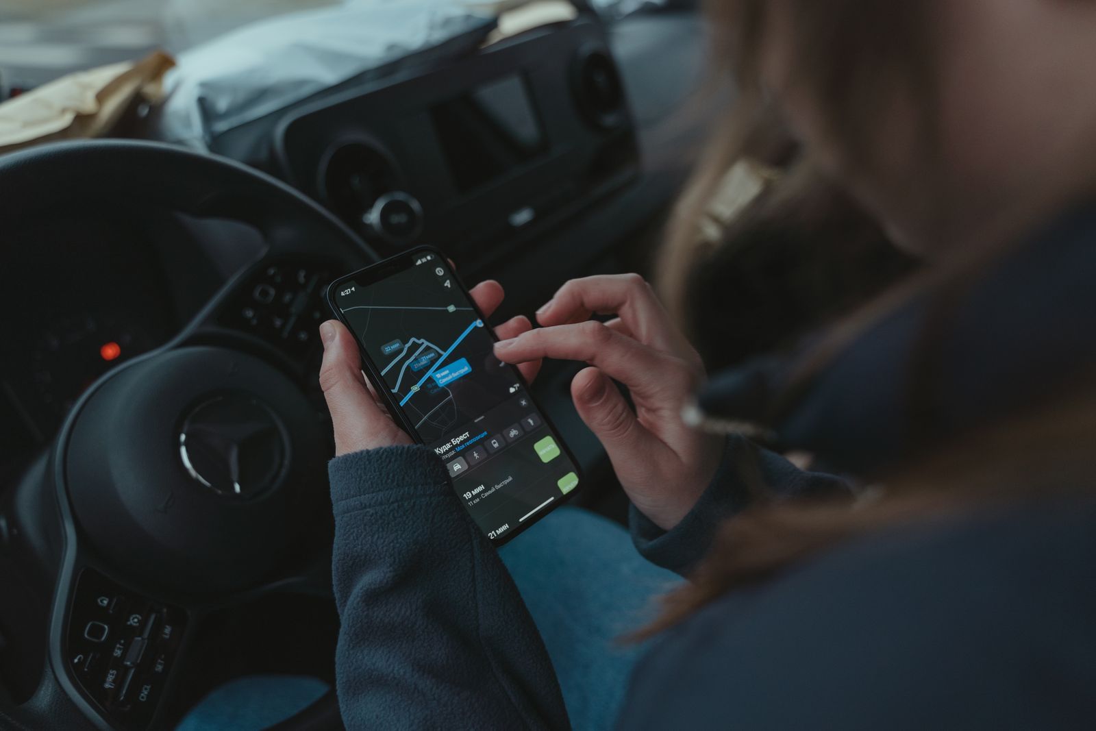
Photo: Tima Miroshnichenko / Pexels
Google Maps can look busy the first time you open it: a map, a search bar, a row of chips, buttons stacked along the edges. Here is the secret that makes it simple. Almost everything the app does grows out of one routine: find a place, look at its card, get directions, follow the line. Learn that routine once, on one real trip, and the rest of the app is variations. This article teaches that routine step by step, written for someone who has never used the app at all. Keep your phone in hand and do each step as you read it; by the final section you will have completed a genuine trip.
If you do not yet have the app, install Google Maps free from the Play Store (Android) or App Store (iPhone), open it, and allow location permission when asked. That permission is what lets the app draw your blue dot, and the whole routine below depends on the dot.
Interactive tool
Your First Trip: Step Checklist
Check off each step as you finish it. Your progress stays on this page.
0 of 7 complete
0% done
The Home Screen, Decoded
Before the trip, meet the furniture. Every element on the home screen has one job.
Element
Where it sits
What it does
Search bar
Top of the screen
Where every trip begins: type or say a place, address, or category
Category chips
Row under the search bar
One-tap searches for restaurants, gas, coffee, groceries, and more near you
Your blue dot
On the map
Your current position; the pale circle around it is the app's honesty about accuracy
Compass button
Right edge, appears after you rotate the map
Snaps the map back so up means north
Location button
Right edge
Centers the map on your blue dot
Layers button
Right edge, looks like stacked diamonds
Switches the map style: satellite view, traffic, transit lines, terrain
Profile picture
Top right, in the search bar
Your account: saved places, settings, offline maps, your timeline
Two habits make the map itself friendly. Pinch with two fingers to zoom, drag with one finger to pan, and twist with two fingers to rotate. If rotating confuses you, and it confuses everyone at first, tap the compass button and north is up again. Nothing on this screen can be broken by tapping; exploration is safe.
Step 1: Find a Place
Tap the search bar and type where you want to go. You can type an exact address, a business name, or a category like pharmacy or bakery, and Maps will search near you first. As you type, suggestions appear; tapping one is faster than finishing the typing. Not sure of the spelling? Tap the microphone icon in the search bar and say the place out loud. Voice search is genuinely good at names you cannot spell.
For this first trip, pick somewhere real and near: a shop, a park, a friend's street. A short trip teaches the same skills as a long one, with less at stake.
Step 2: Read the Place Card
Tapping a result opens its place card, the panel that slides up from the bottom. This card is the app's dossier on the place, and learning to read it is half of using Google Maps well.
At the top: the name, a star rating from visitors, and a category label. Below that, the practical row: the address, whether it is Open now or Closed with the hours underneath, a phone number, and often a website. Scroll the card up and you will find photos, reviews, and busy times, a graph showing when the place is crowded. Before any trip, check two things on this card: the opening hours, because arriving at a closed door is the most common beginner failure, and the address, because chains have many branches and the nearest one may not be the one you meant.
Step 3: Get Directions and Choose Your Travel Mode
On the place card, tap the blue Directions button. The screen changes: your start point (usually Your location) at the top, the destination under it, and a row of travel mode icons. A car, a train, a walking person, a bicycle. Tap the one that matches how you are traveling, because the routes differ completely: walking routes use footpaths and crossings, driving routes use roads and respect one-way streets.
If you are leaving later, or from somewhere else, both fields can be edited. Tap the start field to type a different origin, and on many versions a time option lets you set a departure or arrival time so the route accounts for traffic at that hour.
Step 4: Choose Between the Routes
Maps usually offers two or three routes, drawn in blue for the chosen one and gray for the alternatives, each labeled with its time and distance. The fastest is selected by default, but read the labels before accepting: a route two minutes slower may avoid tolls, highways, or a road you dislike, and the app flags those features in words under the time. Tap a gray route to preview it, tap back to compare. When one suits you, tap Start.
A small but mighty detail: before starting, zoom into the destination end of the route and look at where the pin actually sits. Pins occasionally land on the back entrance, the parking lot, or the building next door, and knowing that in advance saves the confused final hundred meters.
Step 5: Follow the Blue Line
Navigation begins. The map tilts, your dot becomes an arrow, and the app speaks turns aloud while showing the next instruction in a banner at the top: the distance to the turn, then the street name. A panel at the bottom counts down your arrival time, remaining minutes, and remaining distance.
Three things to know while moving. First, if you miss a turn, do nothing dramatic: keep driving or walking safely and the app reroutes within seconds. Rerouting is normal, not an error. Second, the arrival time is a living estimate that breathes with traffic; it is honest, not broken, when it changes. Third, if the voice is too quiet or too loud, the volume buttons on your phone control it while an instruction is playing, and our guide to google maps change voice covers voice and volume settings in full.
When you arrive, the app announces it and ends navigation. Tap Exit or close the app if it lingers. You have completed the whole routine: search, card, directions, route, follow.
Seen from above, a woman stands on a sidewalk messaging on her smartphone
Five Variations You Will Use Every Week
Find your way home. Set your home address once (profile picture, Settings, Edit home or work) and from then on a single tap on the Home shortcut routes you there from anywhere, the most forgiving feature in the app when you are lost or tired.
See a place before you go. Drag the little yellow person icon, or tap a photo on the place card, to open Street View and look at the actual street, entrance, and parking situation. Our guide to google maps street view teaches it fully.
Drop a pin anywhere. Press and hold any spot on the map to drop a pin on a place with no name or address: a meeting point, a trailhead, a parked car. The full technique is in how to drop a pin on google maps.
Save places for later. The Save button on any place card files it into lists like Favorites or Want to go. Saved places appear on your map as icons, quietly building your personal atlas.
Go where there is no signal. Navigation needs the map picture, which normally streams from the internet. Download your area in advance and the same routine works in dead zones; see how to download offline maps.
Sharing Your Location and Your Arrival
Once the basic routine feels easy, this is the feature new users love most. During navigation, swipe up on the bottom panel and tap Share trip progress. Pick a contact, and that person gets a link showing your dot moving on their own map, plus your estimated arrival time, updating live. They do not need to ask where you are, and you do not need to touch your phone while driving. The sharing ends automatically when you arrive.
Outside a trip, you can also share your location for a set time: tap your blue dot, or your profile picture, then Location sharing, choose a duration from fifteen minutes to a full day, and pick the person. Parents, partners, and friends meeting in a crowd use this constantly. It is always under your control: the same screen lists everyone you are sharing with and stops any of them with one tap.
Six Beginner Mistakes, and the Fix for Each
Trusting the pin without looking. A pin is where a database thinks a place is, and databases err, especially for rural addresses and big complexes. Fix: zoom into the destination before you start, as Step 4 advised, and glance at Street View for anything important.
Starting navigation before choosing the travel mode. The app remembers your last mode, so yesterday's drive can poison today's walk with a route along a highway. Fix: glance at the mode row every single time; it takes one second.
Ignoring the Closed label. The place card tells you the hours, but only if you read it. Fix: check Open now before departing for anything with a door.
Following the dot into the sky. Indoors and in parking garages, GPS weakens and the dot wanders or freezes. Fix: note your last turn before you enter, and let the app re-acquire the sky when you come out instead of obeying a confused arrow.
Letting the battery die mid-trip. Navigation is one of the hungriest things a phone does, screen on, GPS listening, data flowing. Fix: for trips over an hour, plug into the car or carry a power bank, and download the area in advance so the phone works less.
Assuming the fastest route is the best route. Fastest ignores tolls, unpaved roads, and your own comfort. Fix: read the words under each route's time before you tap Start; the app discloses its trade-offs honestly.
Your Second Trip: Plan It Backwards
Here is a trick experienced users rely on that no button teaches. When the arrival time matters, a concert, a train, a reservation, plan the trip backwards. Enter the destination, open Directions, and instead of accepting Leave now, look for the time option on the directions screen and set Arrive by to ten minutes before the real deadline. Maps then tells you the latest moment you can leave, calculated with the traffic expected at that hour. Work to that departure time, and let the app absorb the uncertainty instead of your nerves. The same screen's Depart at option answers the opposite question, what time will I arrive if I leave at six, which is the polite way to tell a host when to expect you. Between these two options and live trip sharing, most of the social stress of travel quietly disappears, and none of it required anything beyond the one routine you have already learned.
Related Guides
Readers working through this topic usually need its closest companions too. These map app guides cover the neighboring ground:
Yes. The app and its navigation are free. It uses mobile data when you are online, which your carrier may charge for, but Google charges nothing for the app itself.
Can Google Maps work without the internet?
Partly. The GPS position works anywhere, but the map picture, search, and traffic need a connection unless you downloaded the area in advance. With an offline download, search and turn-by-turn navigation inside that area work without any signal.
Why is my blue dot in the wrong place?
Usually because the phone is indoors, surrounded by tall buildings, or has location set to a battery-saving mode that skips GPS. Step outside with a clear sky view, and check that location permission for Maps is set to precise. Our troubleshooting guide to why is my location not accurate goes deeper.
How do I make Google Maps talk out loud?
Voice guidance is on by default during navigation. If yours is silent, check the sound icon on the navigation screen is set to unmuted, raise the volume while an instruction plays, and confirm in Settings, Navigation settings, that Guidance volume is not at zero.
Can I use Google Maps for walking and buses, or only driving?
All of them. The travel mode row on the directions screen switches between driving, transit, walking, and cycling, and each mode draws completely different routes suited to that way of moving. Transit mode includes departure times and the walk at each end.
Does Google Maps remember where I have been?
If Timeline is turned on in your account, yes, it keeps a private history of your movements that only you can see when signed in. You can pause it, delete days, or turn it off entirely from your profile picture, Your timeline. It is your choice, and the app works fully with it off.
Photo credits: Tima Miroshnichenko (Pexels); Ono Kosuki (Pexels). Photos are served from this site; follow the credit to the library page for the original.