The short answer is yes: Google Maps uses GPS. The complete answer is more interesting, because the blue dot on your screen is almost never GPS alone. Modern phones run a fusion engine that blends satellite positioning with Wi-Fi scans, cell tower signals, and motion sensors, choosing and weighting them moment by moment to give you a position that is fast, smooth, and as accurate as the environment allows. That is why your dot appears instantly indoors where no satellite signal reaches, why it glides through tunnels, and why it occasionally sits one street over while the phone sorts out which source to believe. This guide takes the dot apart source by source, explains what each one contributes and where each one fails, and ends with how to read the accuracy circle so the dot never lies to you twice. For the satellite system itself in depth, our how does gps work guide is the parent explainer; this page is about how one app uses it.
Home / GPS and Navigation Guides
Does Google Maps Use GPS? Yes, Plus Wi-Fi, Cell Towers, and Sensors
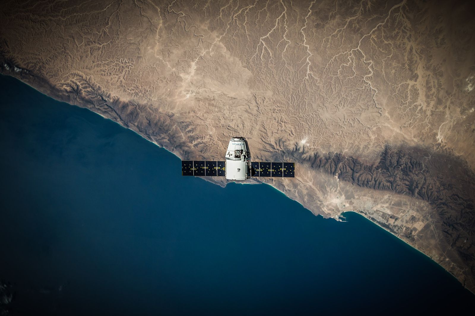
Photo: SpaceX / Pexels
Coordinate Explorer: The Fix Behind the Blue Dot
Click anywhere and read the pair your device reports for that spot. Behind a tap like this, your phone is blending satellite, Wi-Fi, cell, and sensor evidence exactly as this article describes.
Map data © OpenStreetMap contributors. Coordinates are read from the map itself, in the WGS 84 system your phone uses.
Source One: GPS and GNSS, the True Fix
GPS proper is the phone's satellite receiver listening to timing signals from the GPS constellation (and, on most modern phones, the other GNSS constellations too: Galileo, GLONASS, and BeiDou, which is why spec sheets say GNSS rather than GPS). From the travel time of signals from at least four satellites, the receiver computes its position in three dimensions plus time. Under open sky, this is the most accurate source the phone has: Google's own support documentation puts smartphone GPS accuracy at about 20 meters in favorable conditions, and in good conditions with a modern multi constellation receiver it is often better than that. Two properties matter for Maps users. First, GPS needs no internet and no cell signal: the receiver only listens, it never transmits, which is why positioning works in airplane mode and in the middle of an ocean. Second, GPS is slow to start and hungry: a cold receiver can take 30 seconds or more to gather its first fix, and continuous satellite tracking is one of the heavier battery loads on the phone. The fusion engine exists largely to cover these two weaknesses.
Source Two: Wi-Fi Positioning, the City Sharpening
In a city, the dot often owes its precision to Wi-Fi, not satellites. Your phone scans the Wi-Fi networks around it, including networks you never join, and compares their identities and signal strengths against a vast database of known access point locations maintained by Google (and, on iPhones, by Apple). If three routers near you are in the database, your position falls out to within a few tens of meters, instantly, indoors, in malls and stations where satellites cannot reach. This is the source behind the Location Accuracy setting on Android (Google Location Accuracy) and the Wi-Fi component of Location Services on iPhone, and turning it off visibly degrades the dot in built up areas while barely affecting it on an open highway. It is also why the dot can jump when a nearby router has moved house and the database still lists its old address: the phone trusts the database until GPS evidence outvotes it. Our why is my location not accurate guide catalogs these failure modes; the point here is that Wi-Fi is a full positioning source in its own right, not a mere assistant.
Source Three: Cell Towers, the Fast Rough Answer
The moment you open Maps, before any satellite fix exists, the dot already sits somewhere plausible. That first position comes from the cell network: the phone knows which towers it can hear and roughly how strongly, and one tower places you within its cell (hundreds of meters in a city, kilometers in the countryside), while several towers narrow it further. Cell positioning is the weakest of the three radio sources and the fastest, and its real job in the fusion is to give the GPS receiver a starting neighborhood, which dramatically shortens the time to first fix, because a receiver that roughly knows where it is and what time it is can predict which satellites to listen for. This assistance data, delivered over the internet, is called A-GPS (assisted GPS), and it explains a paradox drivers notice: GPS needs no connection, yet Maps fixes noticeably faster with one. The connection is not positioning you; it is handing the satellite receiver its cheat sheet. When that cheat sheet goes stale after days offline, first fixes slow down until fresh assistance data arrives, a behavior how does gps work without internet explains in full.

Source Four: Motion Sensors, the Tunnel Bridge
The fourth source never fixes a position on its own; it carries one. The accelerometer, gyroscope, and compass in the phone measure movement and heading, and the fusion engine uses them to project your last good fix forward: through a tunnel, a parking garage, or a downtown canyon where every radio source stutters. This dead reckoning is why the dot keeps pace with the car underground and why it sometimes confidently continues down the wrong ramp after an exit: it is extrapolating, and extrapolation believes the last known motion until fresh evidence arrives. The compass belongs to this group too, orienting the map's cone of direction; when the cone points somewhere absurd while the dot sits still, the compass, not the GPS, is the suspect, and why is my phone compass wrong is the diagnosis guide for exactly that split.
Reading the Dot: The Circle Is the Honest Part
Google Maps draws the fusion's confidence as the pale blue circle around the dot. The dot is the engine's best estimate; the circle is the area the true position is expected to lie within, roughly a 68 percent confidence region in statistical terms, meaning the truth is inside most of the time but not always. A tight circle in an open field means GPS is in charge and you can trust the dot to meters. A wide circle downtown or indoors means Wi-Fi and cell estimates dominate, and the dot may be a building or a street away from you. Watching the circle while you walk is the fastest calibration of trust there is: if your movement shrinks the circle, the fusion is gathering better evidence; if the dot jumps as the circle collapses, a satellite fix just outvoted a network estimate. Drivers mostly meet this in car parks and city centers, and the correct response is patience for ten seconds, not restarting the app, because the evidence improves fastest while you move. When the circle stays wide under open sky, something is wrong with settings or hardware, and improve gps accuracy is the routine that fixes it.
Android vs iPhone: Same Dot, Different Plumbing
The fusion concept is identical on both platforms, but the plumbing and the settings live in different places, which matters when you go hunting for them. On Android, Google's fused location provider is a system service, and Google Maps both uses it and helps feed it: the Google Location Accuracy toggle controls whether Wi-Fi and Bluetooth scanning join the satellite fix, and Maps inherits the result. Android also shows the fusion's work in the quick settings location tile and lets each app hold precise or approximate permission separately, a granularity worth using, since a navigation app on approximate is a navigation app with its best source confiscated. On iPhone, Apple's Core Location does the fusing, Google Maps is a client like any other, and the equivalent controls are the Location Services list and the Precise Location switch per app. One practical consequence: on Android, an accuracy problem in Maps is often a system level Google setting; on iPhone, it is often the per app precise switch. The other consequence is diagnostic fairness: the same phone hardware generation produces the same dot quality on both platforms, and claims that one ecosystem's GPS is simply better are marketing, not measurement. What differs is where the switches hide, and now you know both hiding places.
What Needs the Internet, and What Does Not
The division is clean once the sources are separate. Positioning needs no internet: GPS listens only, and even Wi-Fi positioning works from the radio scan itself when the database entries are cached. Everything Maps layers on top of position needs data: the map tiles themselves (unless downloaded), search, traffic, and rerouting. So a phone with no signal still knows exactly where it is, and shows a dot on a blank or cached map, which is why downloaded areas make offline navigation complete: they supply locally the one layer the radios cannot. Battery follows the same split: the GPS receiver and the screen dominate consumption during navigation, not the positioning math. If your dot freezes or vanishes entirely while driving, that is a different fault class, signal loss rather than fusion confusion, and gps signal lost is its troubleshooting guide. The fusion picture, once seen, explains nearly every strange thing the blue dot has ever done to you.
Related Guides
Readers working through this topic usually need its closest companions too. These GPS and navigation guides cover the neighboring ground:
- Can You Share Location History in Google Maps? The Boundary Between Sharing and Timeline: Google Maps location sharing and location history are two separate systems that answer to similar names, and only one of them can be shared.
- GPS Signal Lost When the Screen Is Off: The Permission and Battery Fix: When a tracked run shows a straight line sliced across the park, or navigation wakes up half a mile late, the satellites are rarely to blame.
- How Does GPS Work in a Car: Antennas, Map Matching, and Dead Reckoning: A car navigation system is not just a phone GPS in a bigger box.
Frequently Asked Questions
Does Google Maps use GPS or internet to find my location?
Both, for different jobs. Your position comes primarily from GPS satellite signals, blended with Wi-Fi and cell tower estimates by the phone's fusion engine. The internet supplies the map, search, traffic, and the assistance data that helps GPS fix faster, but the GPS positioning itself needs no connection at all.
Why does Google Maps know where I am indoors, where GPS cannot reach?
Because GPS is not the only source. Indoors, the dot comes mainly from Wi-Fi positioning, which matches the networks your phone can hear against a database of known router locations, with cell towers as backup. The pale blue circle grows indoors to admit the lower confidence.
How accurate is Google Maps GPS?
Google's support documentation cites about 20 meters for smartphone GPS in favorable conditions, and modern multi constellation phones often do better under open sky. In cities and indoors, Wi-Fi and cell estimates widen the error, which the blue accuracy circle shows honestly: a wide circle means a rough position.
Does Google Maps use GPS data when my phone is in airplane mode?
Yes. The GPS receiver only listens to satellite signals and works fully in airplane mode; what airplane mode removes is the map data, traffic, and assistance downloads. With a downloaded map area, you can navigate entirely offline because positioning never needed the connection.
Why is my blue dot on the wrong street even with GPS on?
Usually because the fusion engine is still weighting Wi-Fi or cell estimates, or a moved router in the database is voting for its old address. Walk a few meters so the phone gathers fresh evidence, watch the accuracy circle shrink, and the dot normally snaps to the satellite fix. Persistent errors under open sky point to settings or hardware, covered by our accuracy guides.
Photo credits: SpaceX (Pexels); Joaquin Carfagna (Pexels). Photos are served from this site; follow the credit to the library page for the original.