It feels like a contradiction the first time you see it: no signal bars, no Wi-Fi, airplane mode on, and yet the blue dot knows exactly where you are. Or the reverse puzzle, a full signal and a map that refuses to load. Both mysteries dissolve once you stop treating "GPS" as one thing. Your phone's location is three separate layers stacked together: a satellite fix that computes where you are, map data that draws the world under the dot, and live services that add traffic, search, and sharing. Only the first layer is GPS. Only the first layer works everywhere on Earth for free. This guide takes the stack apart.
Home / GPS and Navigation Guides
How Does GPS Work Without Internet? The Three Layers, and What Actually Breaks Offline
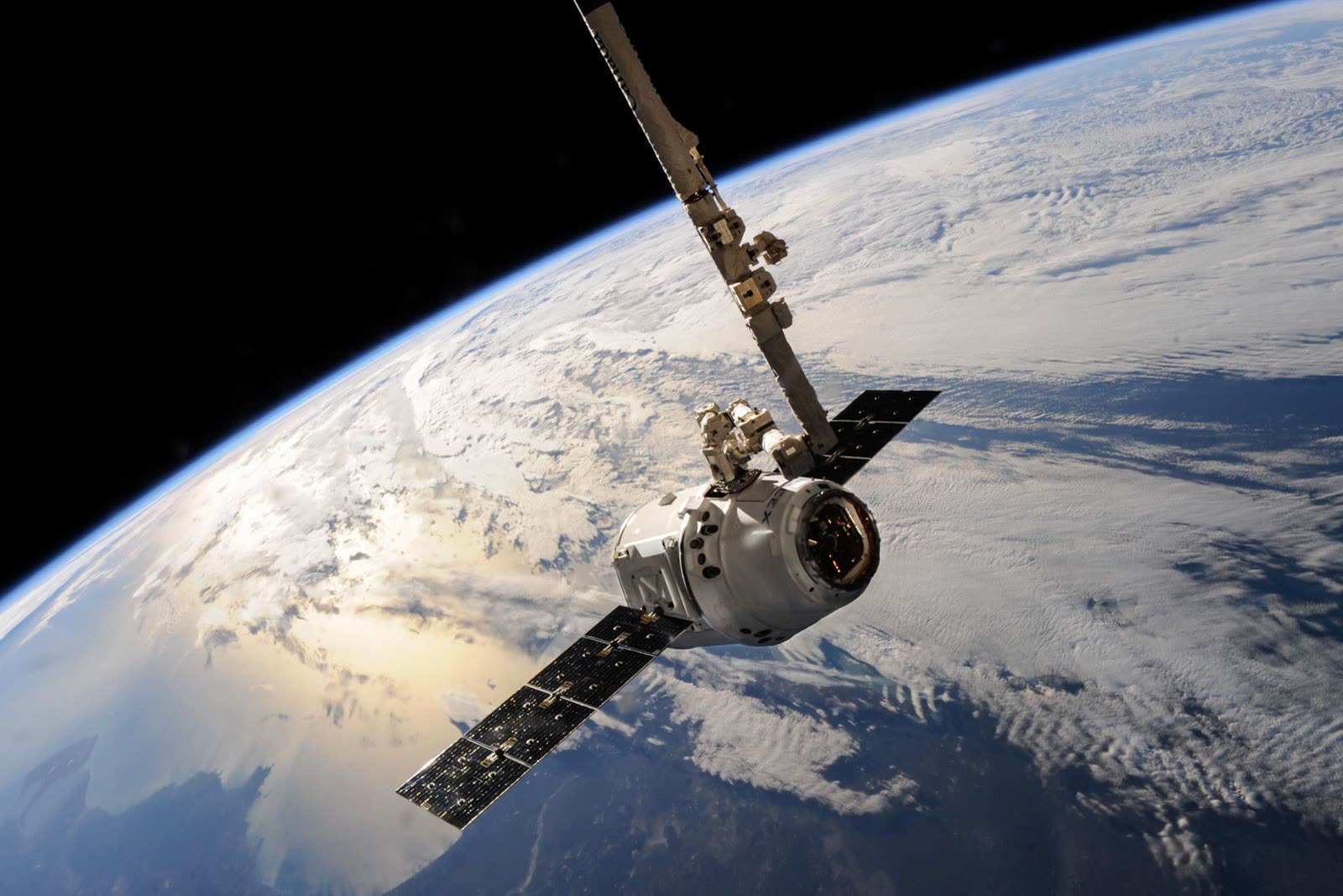
Photo: SpaceX / Pexels
Interactive map
Coordinate Explorer: The Airplane Mode Test
Turn on airplane mode, then tap Use my location. The satellites never needed your network, so your coordinates still arrive. What stops offline is the map and the live services, and this article separates the three layers.
Decimal degrees40.689167, -74.044444
Latitude40.689167° N
Longitude74.044444° W
Degrees minutes seconds40° 41' 21.00" N, 74° 02' 40.00" W
Degrees decimal minutes40° 41.350' N, 74° 02.667' W
Plus code87G7MXQ4+M67
Map data © OpenStreetMap contributors. Coordinates are read from the map itself, in the WGS 84 system your phone uses.
Layer One: The Satellite Fix, Which Needs Nothing From Earth
GPS satellites circle the Earth at about 20,200 kilometers up, each broadcasting a continuous whisper: who it is, where it is, and the exact time, stamped by an atomic clock. Your phone's GPS receiver does one job: listen. It never transmits anything to the satellites. It compares the arrival times of signals from several satellites; since the signals travel at the speed of light, a signal from 20,200 kilometers away arrives about a fifteenth of a second after one from directly overhead, and those tiny differences triangulate your position. Four satellites give a full fix, latitude, longitude, and altitude, with the fourth signal solving the error in your phone's cheap clock.
Because the system is receive-only, it cannot be "out of coverage" the way a phone network can. There is no subscription, no tower, no data plan, and nothing to run out. Standing in the middle of an ocean, a desert, or a dead zone with airplane mode on, the fix still arrives, as long as the receiver can see a decent spread of sky. This is the layer our general explainer on how GPS works covers in depth; here the point is its independence. Everything that frustrates you offline lives in the other two layers.
Layer Two: The Map, Which Is Just Data Your Phone May Not Have
A pair of coordinates is useless to a human. The map, the streets, names, and paths drawn under your dot, is data, and it reaches your phone in one of two ways: streamed from the internet as you move, which is the default, or downloaded in advance as an offline map, which is the fix. With no connection and no download, layer one still hands the app your exact position, and the app has nothing to draw around it: the famous blank beige grid with a confident blue dot in the middle. The dot is not wrong. The world under it is missing.
This is why the entire offline maps discipline exists: fetch layer two in advance, on Wi-Fi, while it is free. Our offline maps explainer covers what a download contains and how to size one, and it is the practical companion to this article. The short version: a downloaded area carries streets, names, and routing for its rectangle, refreshed when you are back on Wi-Fi, and it works identically whether the sky above you has signal or not.
Layer Three: Live Services, Which Honestly Die Offline
Everything with the word live in it is layer three, and it all needs the internet by definition:
| Service | Offline behavior | Why |
|---|---|---|
| Your position (the blue dot) | Works fully | Layer one: satellites, receive only |
| Downloaded map display | Works fully | Layer two, fetched in advance |
| Directions inside a downloaded area | Works, driving and often more | Routing runs on the phone from downloaded data |
| Live traffic and incident alerts | Dead | Reports stream from other drivers, now |
| Searching for a new place by name | Mostly dead | The index lives on servers; saved places still work |
| Rerouting around a closure that just happened | Dead | The closure is news; news needs a network |
| Sharing your live location | Dead | Sharing is publishing; publishing needs a network |
| Satellite and street level imagery | Dead unless downloaded | Imagery is far too large to carry by default |
Read the table once and every offline surprise you have ever had is explained. The app did not "lose GPS". It lost layer three, or layer two, and the dot kept its dignity throughout.
A-GPS and the Cold Start: Why the First Fix Is the Slow One
If raw GPS needs no network, why does a phone that has been off, or has flown across an ocean, take so long to find itself the first time? Because the receiver wakes up ignorant: it does not know which satellites are overhead or where they are in their orbits. It must collect that orbital data from the satellites themselves, over a signal so slow that the full almanac takes twelve and a half minutes to trickle down. A receiver in that state is cold, and a cold start under open sky typically takes from half a minute to several minutes of patient listening before the first fix locks.
Assisted GPS, A-GPS, is the cheat that hides this from you. When your phone has any network connection, it downloads the same orbital data in seconds, over the internet, and hands it to the receiver, which then knows exactly which satellites to listen for. First fixes drop to a few seconds. The assistance changes the speed of the first fix, not the accuracy of any fix, and not the independence of the system: once locked, the network can vanish and the fix continues. A phone with no connection at all can still cold start; it just makes you wait through the satellite-speed download, which is why the first offline fix of a trip feels broken and the second one feels instant. The receiver remembers what it learned for hours afterward, a warm start.
The Airplane Mode Test: Watch the Layers Separate
Run this once and the model stops being theory. Download your home area as an offline map first, on Wi-Fi. Then turn on airplane mode, walk outside, and open your map app. Layer one delivers your dot within seconds to a minute. Layer two draws your streets from the download. Ask for driving directions to a saved place inside the area: they work. Now search for a business you have never saved, or check traffic: layer three's absence announces itself. That is the whole architecture, demonstrated on your own phone in two minutes, and it is the same test the tool at the top of this page invites you to run with your coordinates.
Where the Fix Itself Struggles, Network or Not
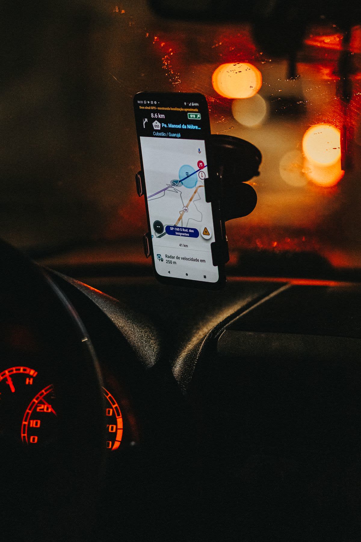
Layer one has its own honest limits, and none of them involve the internet. Indoors, satellite signals are weak and reflected; the phone falls back to Wi-Fi and cell estimates, which is a different system wearing the dot's clothes, as our guide to a device location being wrong explains. In urban canyons, signals bounce off towers and arrive late, smearing the fix across the street. In a tunnel or parking garage, the sky disappears entirely and the dot coasts on sensors until it emerges. Weather, despite the folklore, is barely a factor: GPS frequencies pass through cloud and rain with little loss. The variable that matters is sky view, spread and openness, which is why the fix sharpens the moment you step out of a building and degrades the moment you step into one, on every phone, on every network, everywhere.
The Short Version to Carry Away
GPS is a listening post, not a phone call. Position is free, global, and network independent. Maps are data you either stream or download. Traffic, search, and sharing are services that live online and die offline. When something fails with no signal, ask which layer you are actually missing, because the repair is different for each: wait or find sky for layer one, download for layer two, reconnect for layer three. And if your worry is the data bill rather than the dead zone, our companion piece on whether offline maps use data counts exactly what each layer costs.
The Fourth Passenger: Sensors That Bridge the Gaps
One refinement completes the model honestly. Between satellite fixes, your phone is not blind: it carries an accelerometer, a gyroscope, and a compass, and it dead reckons, estimating movement from the last known fix by sensing steps, turns, and speed. This is why the dot glides through a short tunnel and emerges roughly where it should, and why it also slowly drifts wrong in a long one, because dead reckoning accumulates error with every second it runs unsupervised. Indoors, the phone leans on Wi-Fi positioning, a database of network locations, which is best thought of as a stand-in layer one and a half: no satellites involved, accuracy of tens of meters on a good day. Neither system changes the three layer model; they are understudies for layer one, hired automatically, dismissed the moment the satellites return. Knowing they exist explains the last offline mystery, why the dot sometimes walks with you through a mall and sometimes sits at the entrance composing itself: you are watching the understudies alternate with the lead.
The Battery Footnote
Offline navigation is also, quietly, the battery friendly kind. The expensive radios rest, the map is already aboard, and the receiver listens in efficient bursts. Travelers who switch a live navigating phone to a downloaded map on airplane mode for a long drive routinely arrive with a charge the streaming setup would have eaten by lunch. The exception is the cold start: a receiver hunting satellites from ignorance works hard, which is one more reason to get the first fix while you still have signal and let A-GPS do its one cheap favor for the day.
Related Guides
This guide does not stand alone. The GPS and navigation guides below take up the questions it leads into:
- How Does GPS Work in a Car: Antennas, Map Matching, and Dead Reckoning: A car navigation system is not just a phone GPS in a bigger box.
- Offline Maps With Leaflet: Tile Folders, MBTiles, and Cache-First Patterns That Actually Work Offline: Making a Leaflet map work without a network is not a setting; it is a decision about where the tiles live.
- GPS Navigation App Free: What Is Actually Free, and What the Free Tier Paywalls: Most navigation apps are free to download and free to drive with, but the free tiers differ exactly where it hurts: voice guidance, offline maps,...
Frequently Asked Questions
Does GPS use mobile data?
The GPS fix itself uses none. Your receiver only listens to satellites. Data enters the picture in the other layers: streaming map tiles, traffic, search, and the one-time A-GPS download that speeds up the first fix, which is a few kilobytes. With an offline map downloaded and traffic off, navigation can run on effectively zero data.
Why does my location still work in airplane mode?
Because airplane mode silences the phone's radios for networks, while the GPS receiver only ever listened in the first place. On most phones the GPS receiver keeps working in airplane mode, so the blue dot still fixes. What you lose is the streamed map and live services, which is why an offline download matters for the test in this article.
What is A-GPS, and does GPS need it?
Assisted GPS is a shortcut for the first fix. A cold receiver needs orbital data that takes minutes to collect from the slow satellite signal; A-GPS downloads the same data over the internet in seconds. It changes how fast the first fix arrives, not how accurate any fix is, and GPS works without it, just more slowly at a cold start.
Why is the first GPS fix after a flight so slow?
Your receiver wakes up on a new continent not knowing which satellites are overhead, a cold start. It must gather orbital data by listening, which takes from half a minute to several minutes under open sky. With any network connection, A-GPS fetches that data instantly instead. Once locked, later fixes are fast for hours.
Can I navigate turn by turn with no internet at all?
Yes, inside an area you downloaded in advance. The map data and the routing both live on the phone, so driving directions, and on many apps walking and cycling too, work fully offline. What you lose is live traffic, rerouting around brand new closures, and searching for places that are not in the downloaded data.
Does GPS work in the middle of the ocean or a desert?
Yes. The fix needs only a view of the sky, and it is at its best far from buildings. What you will not have without preparation is a map: mid-ocean, a downloaded chart or a bare coordinates readout is the honest tool, which is why sailors and desert travelers carry coordinates, not just apps.
Photo credits: SpaceX (Pexels); Anderson Martins (Pexels). Photos are served from this site; follow the credit to the library page for the original.