Does Offline Maps Use Data? What Actually Costs You Megabytes
By the Osm4People editorial team
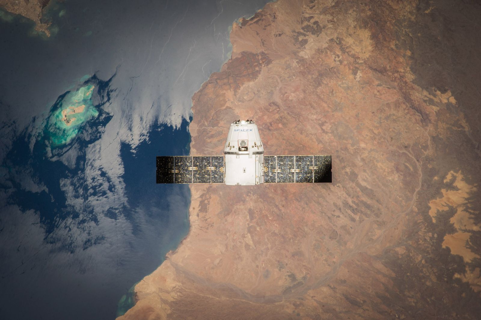
Photo: SpaceX / Pexels
Short answer: no. Once an area is downloaded to your phone, navigating inside that area uses zero mobile data. The GPS signal that positions you is free and always was; it arrives from satellites, not from your carrier. But the short answer hides the full story, because an offline map has a life cycle, and two phases of that life do use data, sometimes a lot of it. This article walks through every phase, download, update, navigation, traffic, and searching beyond the border, and states plainly what each one costs. It ends with a five-minute test you can run on your own phone to prove the claim before you trust it on a trip that matters.
If you have not downloaded an offline area yet, our guide to how to download offline maps teaches that part step by step. This article is about what happens after.
Interactive map
Distance Measurer: Size the Corridor Your Offline Map Must Cover
Click your start, your destination, and your likely detours. The total line is what your download has to contain. Then run the airplane mode test from this article and watch the tool keep working: positioning never needed the network.
A navigation app does three separate jobs, and only two of them ever touch the internet. Job one is positioning: your phone listens to GPS satellites and computes where you are. That needs no network at all, which is why your blue dot works in airplane mode and in the middle of an ocean. Job two is the map picture: the streets, names, and places drawn under your dot. Online, that picture streams from a server as you move. Offline, it is already sitting in your phone's storage, downloaded in advance. Job three is the live layer: traffic speeds, closures, and fresh search results, which by definition must come from the network in the moment.
Offline navigation is simply jobs one and two running locally. Nothing about drawing a route across a stored map and following a satellite dot requires a single byte from your carrier. The full explanation of how the satellite half works lives in how does GPS work, and the offline system as a whole is covered in offline maps.
The Cost Table: Phase by Phase
Phase
Uses mobile data?
How much, roughly
Downloading the area
Yes, unless on Wi-Fi
Tens to hundreds of MB per city or region; a large region can exceed 1 GB
Updating the area (about monthly)
Yes, unless on Wi-Fi
Similar to a fresh download; Maps usually replaces the area
Navigating inside the area
No
Zero; GPS plus stored map
Live traffic inside the area
Yes, if online
Small; a trickle of speed data, but it is not zero
Searching for a place outside the area
Yes, and it may simply fail offline
Tiny data, but offline it returns nothing beyond the border
Satellite view or photos inside the area
Yes
Heavy; imagery is not part of the standard offline download
Read the table with one idea in mind: the download is the meal, everything else is crumbs. A single city download over mobile data can cost more than a month of navigation trickle. That is why every control below is about forcing the big transfers onto Wi-Fi.
The Two Settings That Protect Your Data Plan
In Google Maps, open your profile picture, then Offline maps, then the gear icon. Switch on Download over Wi-Fi only (the exact wording varies slightly by version) and Auto-update for your saved areas. With those two set, downloads and their monthly refreshes wait for Wi-Fi, and your mobile data is never touched by the heavy phases.
On iPhone for Apple Maps, offline areas live under your profile in Apple Maps, and the phone's general rule applies: large downloads prefer Wi-Fi, but to be strict, download your areas at home before a trip rather than trusting any setting. In the phone's Settings, under Mobile Service or Cellular, you can also switch off mobile data for the Maps app entirely during a trip, which is the blunt but foolproof approach for a tight data plan or expensive roaming.
A roaming note, because it is where the money actually leaks: abroad, the navigation is free, but the phone is not. Background apps, photo backups, and that one forgotten offline update can all roam. Downloading everything at home, then using airplane mode with Wi-Fi off (GPS still works; see the test below) is the combination budget travelers swear by.
Hikers explore a mountain lake surrounded by trees and rocks in summer
The Five-Minute Airplane Mode Proof Test
Do not take this article's word for any of it. Prove it on your own phone, at home, in five minutes.
Download a small offline area around your home, on Wi-Fi.
Turn on airplane mode. This kills mobile data and Wi-Fi together.
Open Google Maps and ask for directions to a place inside the downloaded area.
Watch the route draw and start navigation. It works, because everything it needs is on the phone.
Now try the Distance Measurer tool on this page, or simply watch your blue dot as you walk to the end of the street. The dot moves with you, positioned by satellites alone.
Finally, try searching for a place in a different city, outside your download. This is the part that fails, honestly showing you the border of the offline world.
After the test you will know, from your own screen rather than from an article, exactly which features are local and which are borrowed from the network. That knowledge is worth more than the data it saves, because it turns airplane mode from a gamble into a tool.
What Still Uses Data Even With Offline Maps
Three honest exceptions. First, if you are online, the app will quietly use the connection for the live layer even inside a downloaded area: fresher traffic, a closure reported minutes ago, a business's changed hours. That is a feature wearing a small cost. Second, the moment your route leaves the downloaded area, the map beyond the border is not on your phone; online, the app streams it, offline, you get the dot on a blank grid, still positioned correctly, which is useful for direction but not for street names. Third, voice guidance pronouncing street names, and any photos or reviews you open, come from the network. Download your area generously, wider than your route on every side, and the first two exceptions rarely get a chance to matter.
For Comparison: What Online Navigation Actually Costs
It helps to know the size of the thing you are avoiding. Online navigation, with no offline download, typically uses on the order of 5 to 10 MB per hour of driving, mostly map tiles loading as you move; walking uses less, satellite view uses far more. Against a monthly plan measured in gigabytes, an hour a day of online navigation is a few hundred megabytes a month: noticeable, not catastrophic. That scale is why the advice in this article is targeted rather than absolutist. Spend data freely on live traffic for the commute if your plan allows it. Save the strictness for the situations where data is genuinely scarce or extortionate: roaming abroad, rural dead zones where the question is not cost but absence, and the single huge transfer of the download itself. Offline maps are best understood as insurance you buy once, on Wi-Fi, against all three.
There is also a storage cost to weigh, since the download lives on your phone. A phone nearly full will complain about a gigabyte region. The balance most travelers strike: download the specific cities and corridors of the trip rather than whole countries, and delete areas after the trip from the same Offline maps screen where you added them. The map you need next month is one download away; the storage you need today is not.
A Note on Sizes: Reading the Download Screen
When you select an area, Maps shows two numbers worth understanding: the size of the download and the area's name, which it guesses from the largest city inside. Sizes surprise people in both directions. A dense city center can outweigh a huge rural county, because the data is in the details: every street, address, and business is a record, and cities pack records tightly while farmland is mostly a few long roads. If storage is tight, shrink the rectangle to the neighborhoods you will actually visit rather than the whole metro area, and skip satellite imagery entirely, since the standard download is the drawn map, which is both smaller and, for navigation, clearer. If you are preparing for a road trip, several overlapping corridor downloads, one per day of driving, beat one giant region: they update faster, fail smaller, and can be deleted day by day as you finish with them, returning the storage as you travel.
Related Guides
This guide does not stand alone. The GPS and navigation guides below take up the questions it leads into:
No. GPS is a receive-only system: satellites broadcast, your phone listens, and no data plan is involved at any point. What uses data is the map picture and live information around the position, which is exactly what offline downloads move onto your phone in advance.
How much data does a Google Maps offline download use?
It depends on the area's size and density. A single city is typically tens to a few hundred megabytes; a large rural region or a whole small country can exceed a gigabyte. The app shows the exact size before you confirm the download, and that number is your cue to be on Wi-Fi.
Will my offline maps update themselves over mobile data?
Only if you let them. In Google Maps offline settings you can require downloads and updates to wait for Wi-Fi, and turning on auto-update under that rule keeps maps fresh at home without ever touching your data plan. Without the rule, an expiring map may refresh itself wherever you happen to be.
Can I navigate offline with live traffic?
No, and the reason is built into the words: live traffic is live data. Offline, the app routes you using the road network and typical conditions stored in the download. The moment you reconnect, traffic returns. For most trips the stored routing is fine; for a commute through a city center at rush hour, it is the one thing genuinely worth spending data on.
Does offline navigation drain the battery faster?
Slightly differently, not dramatically more. GPS listening and the screen dominate navigation battery use either way. Offline mode actually removes the radio's data work, which can help, but a downloaded map rendering detailed areas keeps the processor busy. A power bank remains the right answer for long offline days, as our best offline map app guide also advises.
If navigation is free of data, why did my bill show Maps using data?
Because the app was online and doing its other jobs: streaming map areas you had not downloaded, fetching traffic, loading photos and reviews, or updating an offline area over mobile because the Wi-Fi only setting was off. Check the offline settings first; in nearly every case the leak is one of those, not the navigation itself.
Photo credits: SpaceX (Pexels); Davy Davy (Pexels). Photos are served from this site; follow the credit to the library page for the original.