Driving is the one job where a map app has no time to be vague. A walking route can survive a late instruction; a motorway exit at speed cannot. That is why this comparison ignores everything both apps do for pedestrians, transit riders, and explorers, and judges them purely as driving companions: how early and how clearly each one speaks, how honestly each one reroutes, how each behaves on the car screen, and what happens when the signal dies mid journey. Our general apple maps vs google maps comparison covers the whole feature war; this page is the driving only rematch, and our best map app for driving roundup widens the field to the other contenders.
Apple Maps vs Google Maps for Driving: Lane Guidance, Voice Prompts, and Rerouting Compared
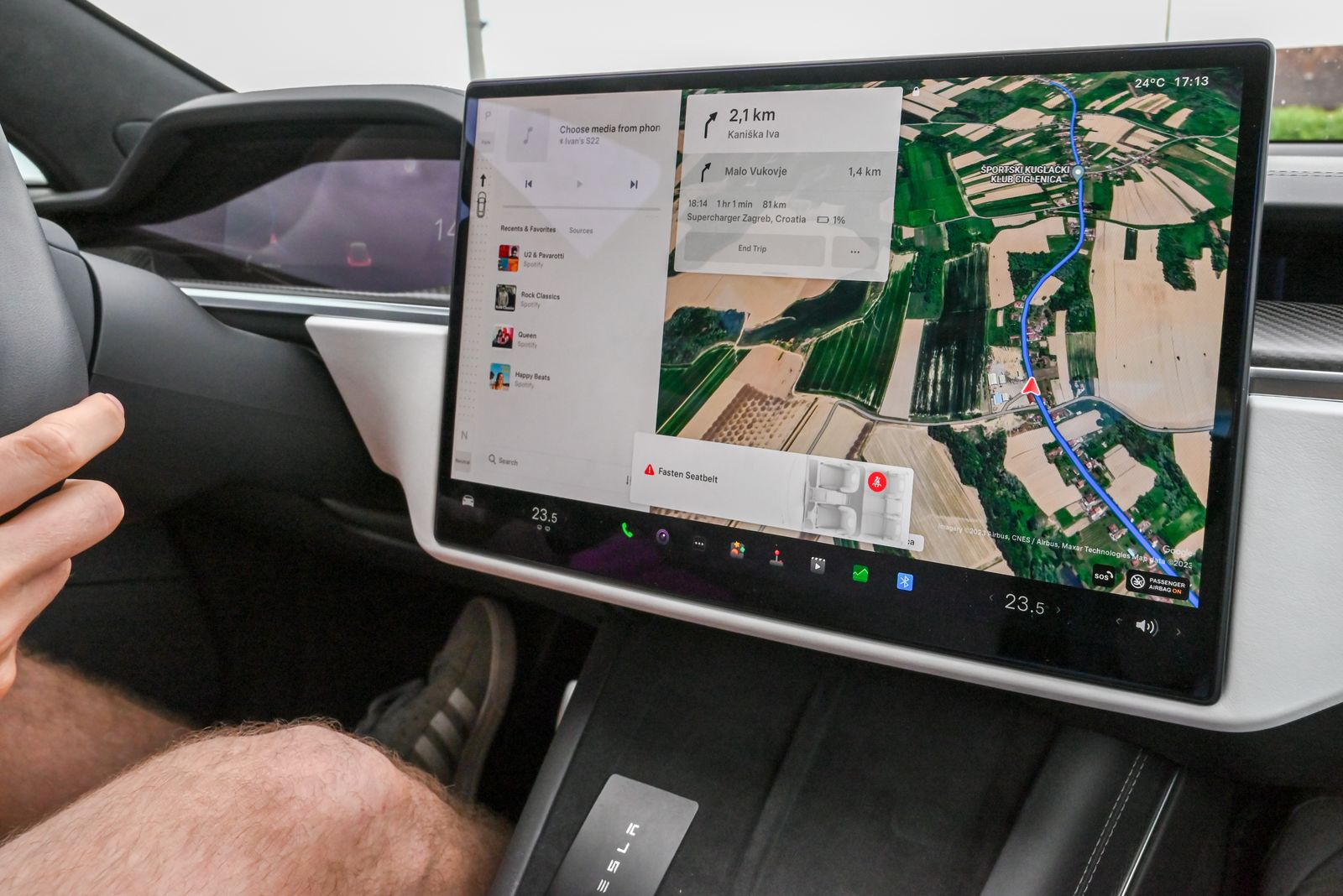
Photo: Vladimir Srajber / Pexels
Interactive tool
The Driving Duel: Which App Earns Your Dashboard
Check off each step as you finish it. Your progress stays on this page.
0 of 6 complete
0% done
Guidance at the Turn: Where the Contest Is Won
The decisive moment in driving navigation is the complex junction: five lanes, two exits in quick succession, a split that punishes hesitation. Both apps now show lane guidance, highlighting which lanes lead through your exit, but they present it differently. Google Maps shows lane bars at the top of the screen with the correct lanes lit, and calls the maneuver early, then again at the point of commitment. Apple Maps shows lane guidance too, and pairs it with a junction view on many motorways that renders the interchange in a clean, elevated style designed to be read in one glance. In practice, Google's guidance is more widely available across countries and road classes, while Apple's, where present, is calmer to look at. Neither app can save a driver who looks late; both reward the driver who glances early, and both now repeat the instruction with a countdown in distance, which matters more than the graphics.
The Voice: Instructions You Can Obey Without Looking
Voice prompts are the second guidance channel, and here the two apps have genuinely different philosophies. Google Maps speaks in distances and road names: turn right in 300 meters onto a named street, with the name also written large on screen. Apple Maps pioneered natural language directions that reference what the driver can see: "at the next traffic light, turn left," or "go past the petrol station, then turn right." For a driver in an unfamiliar town, the landmark version is measurably easier to obey, because the eyes confirm it without reading a sign. Google has added more conversational phrasing over time, and its pronunciation of street names is strong in its home markets. The honest summary: Apple's voice is the better passenger, Google's voice is the better database, and on a route with many similar junctions the landmark style prevents the classic wrong turn at the first of two close exits.
Traffic and Rerouting: Google's Home Turf
Live traffic is where Google's scale shows. Google Maps fuses probe data from millions of phones with incident reports from drivers (its own and, since Google owns Waze, a shared incident pipeline), and it reroutes aggressively: a faster route found mid journey is offered with the minutes saved stated, and one tap or a timeout accepts it. Apple Maps has live traffic and incident reporting too, and its reroutes are more conservative, offered less often and with less drama. Conservative is not automatically worse: some drivers hate an app that keeps changing its mind, and Apple's stability suits them. But on the pure question of who knows about the jam first and routes around it best, Google wins this round in most regions, a verdict our apple maps vs google maps traffic accuracy testing explores in depth. If your driving is a commute through a congested city, weight this section heavily; if it is open road touring, weight it lightly.
Multi Stop Routes and Trip Shape
Errand runs expose a hard numeric difference. Google Maps lets you add up to 9 stops to a driving route; Apple Maps allows up to 15 stops, added from the directions screen. Both apps keep the stops in the order you enter them, and neither truly optimizes the order for you the way a dedicated delivery planner does: the sequence is yours to arrange, the app just drives it. Apple also lets you set a departure or arrival time for planning, and recent iOS versions add preferred routes, learning the roads you favor and offering them first, which suits habitual drivers who would rather take their usual road than the algorithm's. Google counters with richer stop discovery along the route (fuel prices at stations on your path in supported regions, for instance) and with route options that show tolls and ferries before you commit, a setup our google maps how to avoid tolls guide configures. For the multi stop errand driver, Apple's 15 stop headroom is a concrete, checkable advantage.
On the Dashboard: CarPlay vs Android Auto
On an iPhone, Apple Maps in CarPlay is the home team: it integrates with the car's dashboard cluster on supported vehicles, shows the next turn beside the speedometer, and its arrival share and hazard reporting sit one tap away. Google Maps also runs in CarPlay and works well, but the second screen integration belongs to Apple. On Android the mirror image holds: Google Maps in Android Auto is the native experience, with the assistant a voice command away and incident reporting from the wheel, while Apple Maps does not exist on Android at all, which settles the question for Android households outright. Our apple maps vs google maps carplay comparison isolates the CarPlay duel, and best map app for android auto does the same for Google's platform. The short version: drive with the app your car platform was built around, unless a specific feature below pulls you across.
Offline and the Dead Zone
Both apps now download map areas for offline driving, Apple since iOS 17 and Google for much longer, and both keep turn by turn guidance running inside the downloaded area while losing live traffic, because traffic is a data product. The differences are in the margins: Google's downloads are selectable rectangles with size estimates and automatic updates on Wi-Fi; Apple's are similarly chosen and update in the background. What neither gives you offline is incident rerouting, so a downloaded route is a faithful map with a silent traffic layer. The full download procedure for both is our how to download offline maps guide, and the Waze specific version of this question, since Waze famously lacks a true area download, is download maps offline waze. For rural drivers, this section outranks voice style: download your region in whichever app you choose, before the journey, every time.
Speed Limits, Hazard Reports, and the Small Print
Below the headline features sit the details drivers touch daily. Both apps display the speed limit of the current road in supported regions, and both let drivers report hazards: crashes, roadworks, stalled vehicles, and speed checks. Google's reporting draws on the larger crowd, so its incident layer is denser, and Waze's famous report culture feeds the same corporate family from the other side, a rivalry our apple maps vs google maps vs waze three way comparison scores in full. Apple limits some reporting to voice or a couple of taps for safety, which is the right instinct at speed. Both apps warn about speed cameras where local law allows the data. Where they still differ is place data at the destination: Google's business information, opening hours, busy times, and reviews remain far deeper, so the last hundred meters of a trip, finding the entrance, the car park, the open door, often go better in Google even for drivers who preferred Apple's guidance on the way there. Drivers who navigate to businesses for work should weigh that heavily; drivers who navigate to addresses and trailheads will barely notice it.
Positioning Accuracy While Driving
A driving app is only as good as the blue dot feeding it, and both apps read the same phone sensors, so their raw positioning is identical hardware in, identical fix out. The differences appear in presentation: how each app snaps your position to the road, how quickly the arrow recovers after a tunnel, and how the heading behaves at walking pace in a car park. Google's location services on Android benefit from its fused provider and Wi-Fi scanning refinements; Apple's Core Location does equivalent work on iPhone. When the dot misbehaves, the cause is almost never the app: it is the phone's location settings, a case or mount interfering, or the sky view from the seat. Our apple maps vs google maps accuracy piece isolates the positioning question, and improve gps accuracy gives the settings routine that fixes most driving dot problems in either app. Pick your driving app for guidance and traffic, not for the dot; the dot is the phone's department.
The Verdict by Driver
Choose Google Maps if your driving is urban and congested, if you drive on Android, if you want the deepest incident reporting and the most aggressive rerouting, or if you regularly cross regions where Apple's enhanced guidance has not arrived. Choose Apple Maps if you drive on iPhone and CarPlay, if you value calm, landmark based voice guidance, if your errands chain more than nine stops, or if the preferred route learning matches your habits. The checklist above turns this verdict into your verdict: tick the statements that describe your driving honestly, and the app whose column fills up is your default. Set it, download your home region in it, and let the other app stay installed as the backup; drivers with both installed lose nothing and gain a second opinion on the day the first one is wrong.
Related Guides
The closest companions to this guide are the map app guides below. Each one picks up a thread this page starts:
- How Often Is Google Maps Updated? The Honest Answer, Layer by Layer: There is no single update cycle for Google Maps, because the map is not one thing.
- How to Add Multiple Pins in Google Maps: Lists for Pins, My Maps for Projects: There are two honest answers to putting many pins on one Google map, and picking the wrong one wastes an afternoon.
- How to Save a Route in Google Maps: Pin It, Shortcut It, Send It: Saving a route in Google Maps means four different things depending on where you tap, and only one of them keeps the route itself.
Frequently Asked Questions
Which is better for driving, Apple Maps or Google Maps?
For most drivers in congested cities, Google Maps, because its live traffic and incident data are deeper and its rerouting is faster. For iPhone drivers who value calm guidance, Apple Maps wins on natural voice directions, lane guidance presentation, and CarPlay integration. The better app is the one matching your platform and your roads.
How many stops can each app handle on one route?
Google Maps allows up to 9 stops on a driving route. Apple Maps allows up to 15 stops. Neither app automatically optimizes the order of the stops; you arrange the sequence and the app drives it in that order.
Does Apple Maps or Google Maps give better voice directions?
Apple Maps uses natural language directions that reference landmarks and traffic lights, such as turning at the next light, which many drivers find easier to obey without looking. Google Maps speaks in distances and street names, with excellent coverage and pronunciation. Both repeat instructions with distance countdowns.
Which app works better offline for driving?
Both download map areas and keep turn by turn guidance inside them, and both lose live traffic offline. Google's offline system is older and offers size estimates and scheduled updates; Apple's, available since iOS 17, is comparable in daily use. Download your region before any rural trip in either app.
Can I use Google Maps in CarPlay and Apple Maps in Android Auto?
Google Maps works in CarPlay, though the instrument cluster turn display on supported cars belongs to Apple Maps. Apple Maps does not exist for Android or Android Auto at all, so Android drivers use Google Maps or another app from our driving roundup.
Photo credits: Vladimir Srajber (Pexels); Axel Sandoval (Pexels). Photos are served from this site; follow the credit to the library page for the original.