A phone navigation app earns its rating in your hand, at arm's length, with all the time in the world. Android Auto changes the exam completely. On the car screen the keyboard disappears while you drive, the map competes with music and calls in the split screen dashboard, and every interaction has to survive a two second glance at highway speed. Apps that feel powerful on a phone can feel clumsy on a dashboard, and quiet apps turn out to be the ones designed for the wheel. This guide scores the Android Auto field on the axes the car actually imposes, and the checklist below turns those axes into a decision you can make in your own driveway.
Best Map App for Android Auto: The Car Screen Changes the Contest
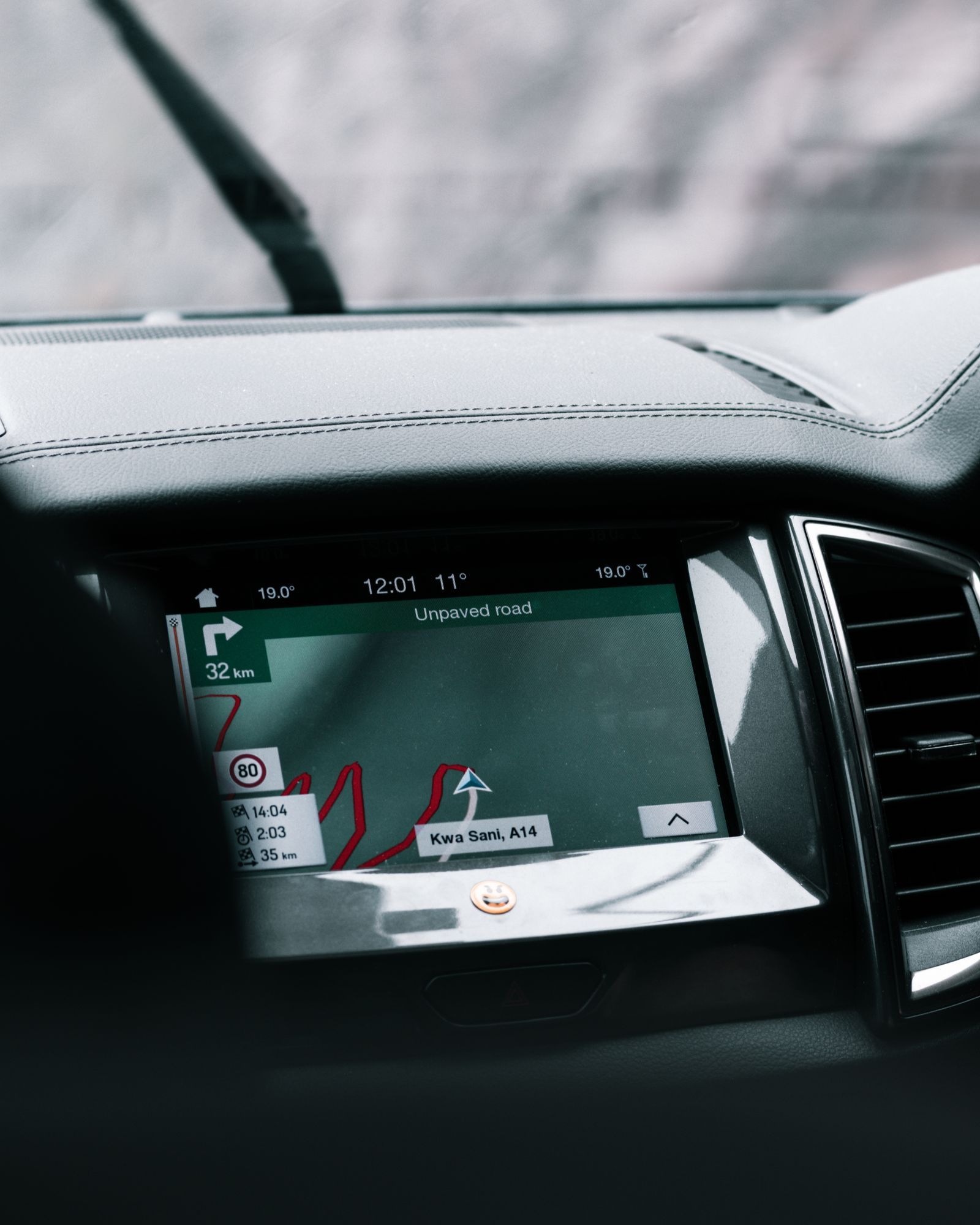
Photo: Callum Hilton / Pexels
Interactive tool
Android Auto Pick: The Car Screen Checklist
Check off each step as you finish it. Your progress stays on this page.
0 of 7 complete
0% done
The Five Car Screen Axes
Glanceability. Turn instructions, lane guidance, and the next maneuver have to read at a glance. Google Maps and Waze both render large, high contrast banners; the difference is density. Waze crowds the screen with report icons and alert popups, which drivers either love as early warning or hate as noise. Voice control. With the keyboard locked, the assistant is the keyboard. "Navigate to" commands, mid route searches for fuel, and read aloud messages all run through voice, and apps differ in how much of their feature set the voice layer can reach. Offline behavior. A route that dies in a dead zone is worse than no route. Apps with downloaded maps keep navigating; apps that stream do not. Incident alerts. Waze's crowd reports remain the benchmark, with Google Maps absorbing many of the same report types. Subscription gates. Several car screen features that look standard are paywalled, and the paywall usually appears at the worst moment, mid trip.
The Field, Judged at the Wheel
| App | Android Auto | Offline on the car screen | Incident reports | The catch |
|---|---|---|---|---|
| Google Maps | Yes, native | Yes, downloaded areas, driving | Yes, growing report set | Offline is driving only |
| Waze | Yes, native | No true offline routing | Yes, the deepest crowd reports | Needs a connection to plan routes |
| Sygic | Yes | Yes, full downloaded maps | Partial | Android Auto sits behind Premium+ |
| TomTom GO | Yes | Yes, downloaded maps | Partial, own traffic service | Subscription after trial |
| OsmAnd | Yes | Yes, fully offline by design | Limited | Interface density takes learning |
| HERE WeGo | Yes | Yes, downloaded maps | Limited | Thinner place data |
| Magic Earth | Yes | Yes, offline maps | Limited | Smaller traffic network |
Google Maps is the default for a reason: it is already on the phone, its Android Auto interface is the most polished of the field, voice search reaches the deepest place database in the business, and downloaded areas keep driving directions alive in dead zones. Its limits are the ones this site documents elsewhere: multi stop routes cap at nine stops, and offline directions are driving only, with no walking, cycling, or transit. Waze is the commuter's instrument. Nothing else matches its incident density in a busy metro, and its alerts for police, hazards, and closures arrive earlier than any rival's. The price is total dependence on a connection for planning routes, and a screen that some drivers find busy at speed. Sygic is the offline specialist with a car screen catch: its Android Auto support is a Premium+ subscription feature, a fact buried deep enough that many drivers discover it in the driveway with the engine running. If you pay, you get proper downloaded maps and a clean, truck aware interface. TomTom GO brings the old hardware maker's traffic service and offline maps behind its own subscription, and feels the most like a dedicated satnav. OsmAnd is the enthusiast's pick: fully offline, endlessly configurable, built on OpenStreetMap data, and its Android Auto display is functional rather than pretty. HERE WeGo and Magic Earth round out the field as credible free offline options with smaller live traffic networks.
The Split Screen Test Nobody Reviews
Android Auto's dashboard view shows navigation beside media and calls, in a card roughly half the screen. This is where glanceability stops being a slogan. In the card, Waze keeps its next maneuver readable but drops much of its alert richness; Google Maps keeps the maneuver banner and a slim progress bar; the offline specialists compress well because their interfaces were designed for small dedicated screens in the first place. Judge any app you trial in the dashboard view, not the full screen view, because the dashboard is where the app will actually live on a mixed drive. The second unreviewed test is the passenger test: a front seat passenger can still use the phone copy of some apps while Android Auto runs, and in others the phone locks to the car session. Households that navigate as a team should test this before committing.
Voice Is the Real Interface
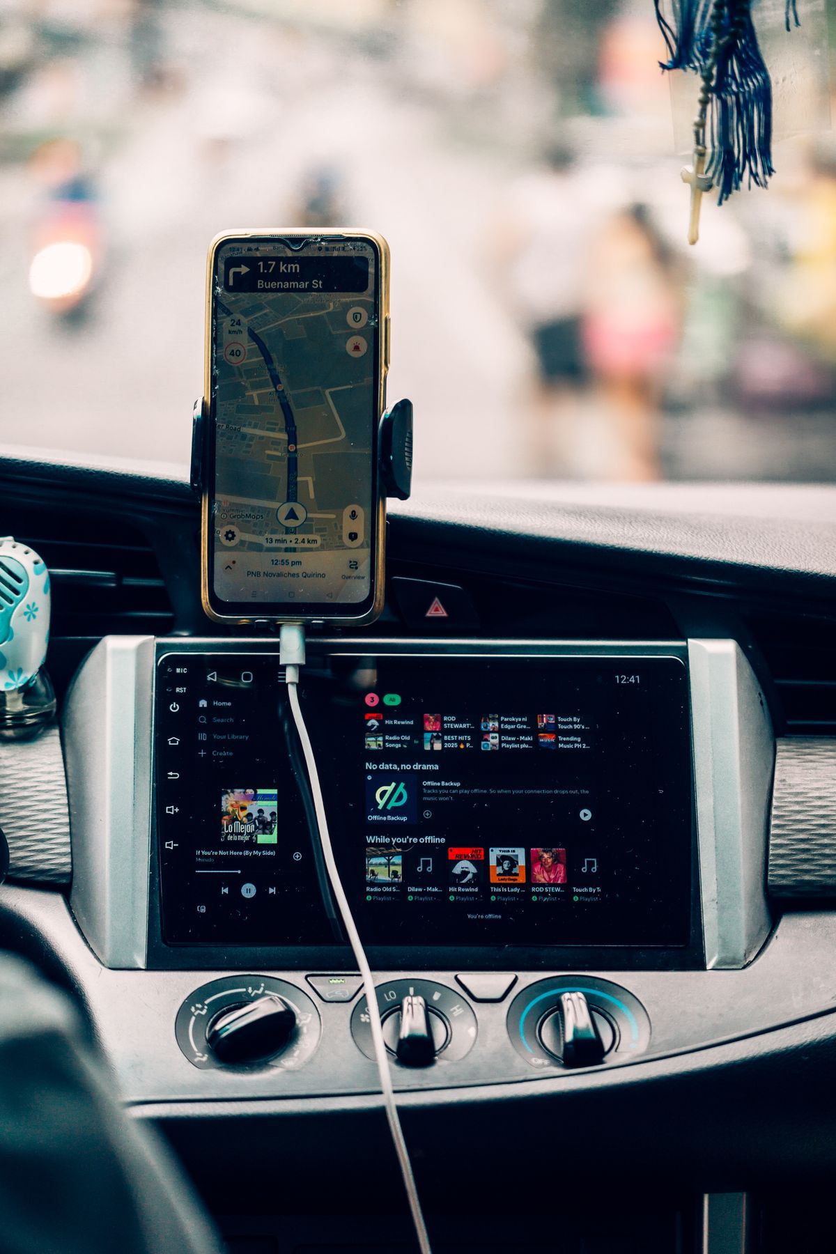
At speed, you will not type, so score the voice layer like a feature, because it is the feature. The commands that matter: start a route by place name, add a stop mid route ("add a gas station stop"), ask for the arrival time, report or confirm an incident in Waze, and switch the route when traffic builds. Google Maps wins this layer outright through the assistant's access to its place data; asking for "the coffee place near the airport we saved" works in a way no rival matches. Waze accepts voice reports, which is the safest way to feed its crowd system. The offline apps accept destination commands but search a downloaded database, so obscure place names fail more often. Practice the five commands parked, once, and the layer stops being a surprise.
Picks by Driver
The commuter: Waze, if your metro has the crowd density to feed it, with Google Maps as the automatic fallback the first time a dead zone eats a route. The road tripper: Google Maps, for the place data and voice search, with one downloaded offline area per state as insurance. The rural and off grid driver: Sygic Premium+ or OsmAnd, bought and configured at home, because offline is not a setting you want to discover at a fuel station with one bar of signal. The privacy minded: Magic Earth or OsmAnd, the two that navigate without an account culture. And the honest footnote for tall vehicles: no app in this table routes by vehicle height or weight; if that is your problem, the dedicated answers live in our guide to the best map app for RV travel. For the phone screen version of this contest, see the best map app for Android and the best map app for driving guides, and for how the two Google siblings split the driving job itself, our Google Maps vs Waze comparison.
The Setup Pass That Prevents Most Failures
Most Android Auto navigation disappointment is setup, not software, and it happens in a fixed order. First, the cable or the pairing: a flaky cable produces disconnects that drivers blame on the app; test a known good cable before judging any app. Second, permissions: the navigation app needs location access all the time, not while in use only, or routes freeze when the phone sleeps; set it once in the phone's settings. Third, the downloads: offline areas and offline maps must be fetched on Wi-Fi before the trip, and they expire or age quietly, so refresh them the night before a long drive, not at the fuel station. Fourth, the default: Android Auto remembers the last navigation app used and opens it next time, so run your chosen app once from the car screen to make it the resident. Fifth, the phone's battery rules: exempt the navigation app from battery optimization, or Android will throttle the very app the car screen is mirroring. Five minutes on this pass, parked, eliminates the five commonest complaints in owner forums, none of which are the app's fault.
Troubleshooting the Car Screen
The app shows on the phone but not the car. Check the Android Auto app launcher customization: apps can be hidden from the launcher, and a fresh install sometimes starts hidden. Navigation voice is silent while music plays. The guidance volume is a separate channel from media volume in most cars; raise the volume during an active instruction, not before it, because the car routes the knob to whichever channel is speaking. The map lags behind the car. Position is arriving late: suspect the phone's location mode, a battery saver, or a cup holder blocking the sky view, in that order; our why is my location not accurate guide works the differential. Routes keep recalculating in the city. Urban canyon multipath is the usual cause, and a windshield mount that gives the phone a cleaner sky view fixes more cases than any setting. The wrong app opens. It is the last used app rule above; open the one you want once, deliberately, and it stays resident.
What Changes With a New Car or a New Phone
Android Auto setups break at upgrades, and the breakage is predictable. A new car resets the app order, the launcher visibility, and the audio routing; run the setup pass again rather than debugging from memory. A new phone keeps your Google account's preferences but not the per app permissions that navigation quietly depends on, so location access and battery exemptions need re granting. Wireless Android Auto adds its own variable: it negotiates over Wi-Fi after a Bluetooth handshake, and a phone juggling a home network at the driveway's edge can stall the connection for a minute that feels like failure. None of this is a verdict on any app in the table; it is the platform's tax on change, and the drivers who pay it once, parked, with the setup pass, are the ones who describe Android Auto as flawless.
Related Guides
This guide does not stand alone. The map app guides below take up the questions it leads into:
- Best Map App for Japan: Google Maps for Streets, NAVITIME for Trains, and the Two-App Setup: Japan rewards travelers who split the job between two apps.
- How to Measure Distance on a Map App: Straight Line, Road, and Walking Numbers Explained: Ask a map app "how far is it" and you can get three different numbers for the same two places: the straight line measure, the driving route...
- How to Use Google Maps With Android Auto: Connect, Navigate, and Drive Hands Free: Android Auto puts Google Maps on the car screen so the phone can stay in your pocket.
Frequently Asked Questions
Which map apps work with Android Auto?
The main navigation apps with Android Auto support are Google Maps, Waze, Sygic, TomTom GO, OsmAnd, HERE WeGo, and Magic Earth. Support means the app renders on the car screen with the driving interface; it does not mean every phone feature survives the move, and in Sygic's case Android Auto itself sits behind the Premium+ subscription.
Is Google Maps or Waze better on Android Auto?
For commuting in a busy metro, Waze's incident reports usually arrive earlier and its alerts are the reason to run it. For everything else, road trips, place search, voice commands, offline insurance, Google Maps is the stronger car screen app. Many drivers run Waze on the commute and Google Maps on the trip, which costs nothing.
Can I use navigation on Android Auto without a data connection?
Yes, with the offline apps or with Google Maps areas downloaded in advance. Sygic, TomTom GO, OsmAnd, HERE WeGo, and Magic Earth navigate from downloaded maps with no connection at all. Waze cannot plan a new route offline, so a dead zone at the start of a trip is its real weakness.
Why is my keyboard locked in Android Auto?
By design. Android Auto disables text entry while the vehicle moves, so destination changes run through voice commands or a passenger's phone where the app allows it. Learn the five core voice commands parked, and the lock stops mattering.
Does Android Auto use the car's GPS or the phone's?
It depends on the car and the connection. Many wired Android Auto setups can use the car's GPS antenna, which is usually better placed than a phone in a cup holder; wireless setups and cars without the integration use the phone's receiver. If your position lags in tunnels and urban canyons, our guide to why your location is not accurate explains the causes in order.
Photo credits: Callum Hilton (Pexels); Nothing Ahead (Pexels). Photos are served from this site; follow the credit to the library page for the original.