Every general purpose map app shares one blind spot: it assumes your vehicle is a car. It does not know your motorhome is 12 feet tall, weighs 14,000 pounds, and carries propane that some tunnels ban outright. The first time that blind spot matters is usually a low bridge sign spotted too late, on a road with nowhere to turn around. RV navigation apps exist to close exactly that gap. They ask for your rig's dimensions once, then refuse to route you anywhere those dimensions do not fit. This guide judges the field on that job, and the checklist below helps you match the app to the rig you actually drive.
Best Map App for RV Travel: Route Around the Bridge, Not Into It
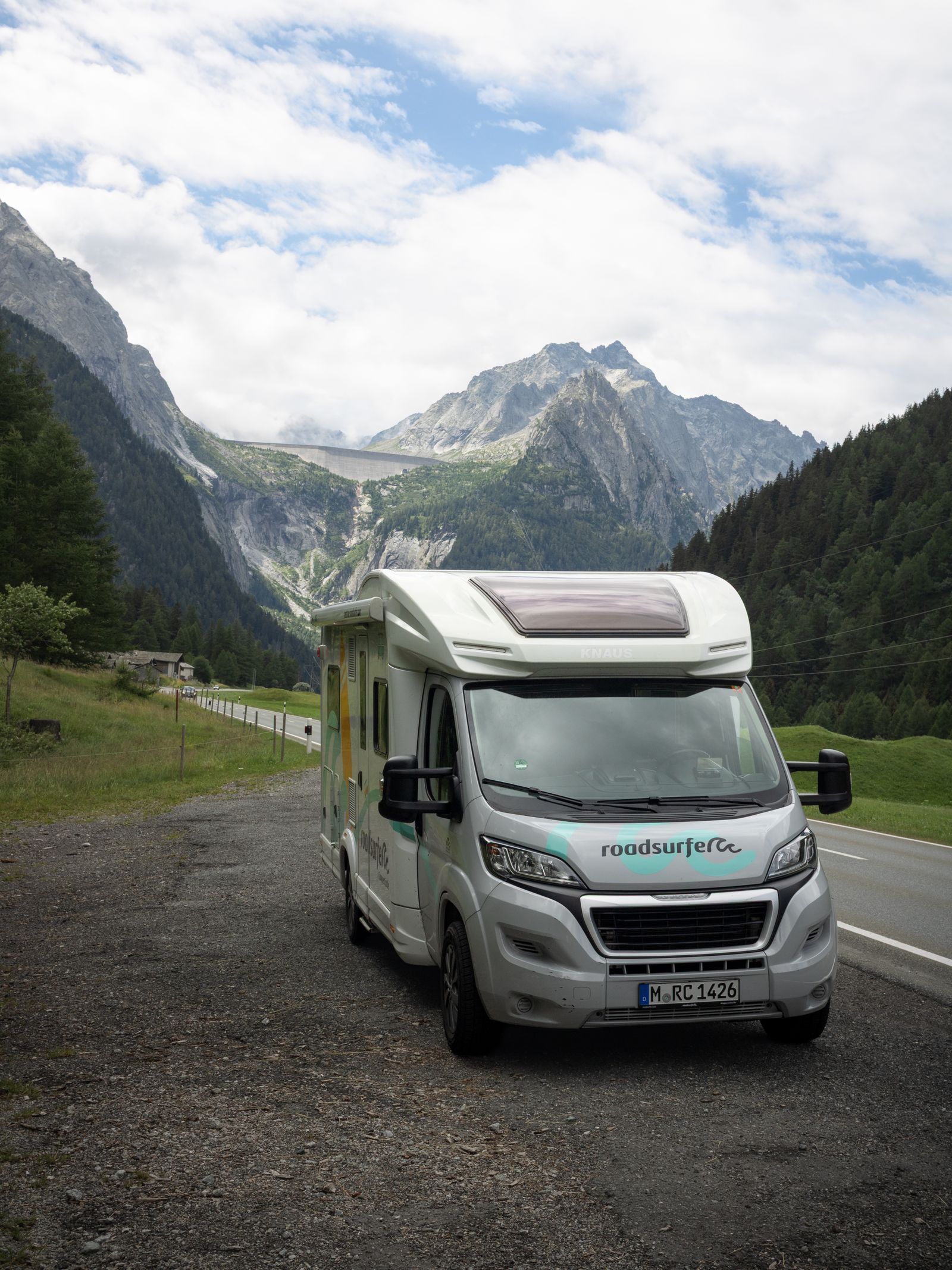
Photo: Niklas Jeromin / Pexels
Interactive tool
RV Navigation Pick: The Profile Checklist
Check off each step as you finish it. Your progress stays on this page.
0 of 6 complete
0% done
The One Feature That Decides Everything
The vehicle profile is the product. Height filters low clearances and covered bridges; weight filters weak bridges and restricted roads; length matters for tight switchbacks and small campground roads; propane status matters for tunnels and ferries that restrict or ban LP gas. When you evaluate any app below, the profile is the test: if an app cannot store your rig's four numbers and reroute around violations, it is a car app wearing a costume, no matter how many campground pins it shows. The second deciding feature is the data behind the profile. Clearance databases are crowdsourced and official sources merged, which means they are good and still not perfect. The professional habit is to treat the app as the first filter and the posted sign as the final authority, because databases lag construction and resurfacing, and resurfacing alone can shave inches off a marked clearance.
The Field
| App or device | Vehicle profile | Offline routing | Campground data | Model |
|---|---|---|---|---|
| RV LIFE GPS (with Trip Wizard) | Yes, full profile | Yes, downloadable trips | Deep, RV LIFE network | Pro subscription, roughly $65 per year, check current pricing |
| CoPilot RV | Yes, full profile | Yes, fully offline maps | Built in POI set | Subscription |
| Garmin dezl and RV series | Yes, full profile | Yes, on device | Built in, RV parks and services | Hardware purchase |
| Sygic GPS Truck and RV | Yes, full profile | Yes, downloaded maps | Built in POI set | Subscription |
| Google Maps and Waze | No | Partial | Listings only | Free, and the trap |
RV LIFE GPS pairs with the RV LIFE Trip Wizard planner, and the pairing is the point: plan the multi week route on a big screen with campground stops, then drive it in the app with your profile applied. Its campground database, fed by the RV LIFE community's reviews, is the deepest of the field. CoPilot RV is the offline veteran: full downloaded maps, a proper vehicle profile, and no dependence on signal, which suits the rural reality of RV travel better than any streaming app. Garmin's dezl and RV navigators are hardware, not apps, and for full timers that is often the appeal: a dedicated screen that never fights the phone for the dashboard, with profiles, clearance data, and RV park directories built in. The cost is a device purchase and map update chores. Sygic's truck and RV edition applies the same offline engine as its car product to rig profiles, a solid middle option. And then there is the free trap: Google Maps and Waze have the best live traffic and place data on earth and no idea your rig exists. Plenty of RVers run them for traffic awareness on interstates while a profile aware app owns the actual routing; that two app split is legitimate, as long as the free app never gets the final word near bridges, tunnels, or mountain passes.

The Three Route Checks to Run Before Any Trip
The clearance check. Sort your planned route's lowest clearances against your measured height, and measure the height yourself with the air conditioner included; brochure heights have ended trips. Keep at least a few inches of margin, because database clearances and posted clearances both round in their own favor. The weight check. Your loaded weight, not the dry weight on the spec sheet, is the number that belongs in the profile; a trip to a scale once pays for itself in routed confidence forever. The propane check. Tunnels on the US East Coast and several ferries restrict LP gas; a profile that knows you carry propane reroutes before you reach the inspection stop where the alternative is turning a 40 foot rig around in a toll plaza. Run all three checks parked, in the planner, not at the wheel.
Campgrounds Are Data, Not Decoration
The second job of an RV app is the stop itself: does the campground fit your length, have your hookups, and allow your pets? RV LIFE's review fed database answers with the most depth; Garmin's built in directory is strong on RV parks and services along the route; CoPilot and Sygic carry respectable POI sets. Treat star ratings as a starting filter and read the recent reviews for the two complaints that matter most to big rigs: access road difficulty and site levelness. An app that routes you perfectly to a campground you cannot enter has done half its job.
Picks by Rig
Camper vans and small Class B rigs: your height is your main risk, so RV LIFE or CoPilot with an honest height entry covers you, and the free apps are a fair traffic companion. Class A and large fifth wheels: take the profile seriously and pick RV LIFE for the planning pairing or a Garmin RV navigator for the dedicated screen; your turning radius and weight make reroutes expensive. Full timers: the Garmin plus RV LIFE combination is the common professional setup, hardware for the drive, planner for the season. Occasional renters: CoPilot RV for the trip's duration, profile set from the rental's spec sheet plus your own tape measure on pickup day. Whichever you choose, cross check the winner against the general field in our best map app guide, and if your tow vehicle runs a car screen, our best map app for Android Auto picks cover the dashboard side; the head to head between the two free giants is in Google Maps vs Waze.
Reading a Clearance Like a Professional
The number on a bridge sign and the number in an app database are cousins, not twins. Posted clearances are measured to the lowest point of the structure, sometimes years and several resurfacings ago; resurfacing adds pavement thickness and subtracts clearance, which is why professionals treat any margin under a few inches as no margin at all. Databases merge official records with driver reports, and a report from a driver who scraped is data too, of the expensive kind. The professional routine: the app filters the route in advance, the driver reads every posted sign on approach regardless of what the app said, and any bridge within six inches of the rig's measured height gets a slow approach with a spotter or a reroute. Height also changes: a rig rides lower fully loaded and higher with empty tanks, and the air conditioner's shroud, antennas, and satellite domes all count in the measurement. Measure at travel weight, at the tallest accessory, and write the number on the dashboard where the driver planning the route cannot forget it.
The Mistakes That End Trips
Trusting the free app on a new route. Car apps are fine on interstates you know; the failures happen on the last five miles to a rural campground, exactly where clearances and weak bridges live. Entering the brochure height. Spec sheets measure the box, not the accessories, and the difference is the air conditioner that meets the bridge. Skipping the weight entry because the rig "is not that heavy." Weight restricted bridges are rarer than low bridges and less forgiving; the fine and the extraction bill both assume you knew. Planning on the phone's small screen. RV routes deserve the big screen planner pass: RV LIFE's Trip Wizard and its rivals exist because a season of stops, clearances, and campground fits cannot be judged in a phone list. Forgetting the exit. A campground approach that fits can still strand a long rig if the exit turns tighter than the entrance; the review mining habit in the campground section above catches this, because big rig reviewers always mention it.
The Paper and Offline Backups That Still Earn Their Space
Professional RV drivers carry two analog habits the apps have not killed. The first is a printed or downloaded motor carriers' atlas for the states on the route: its low clearance lists are compiled for trucks, updated annually, and readable with a dead phone. The second is the campground directory habit, an offline list of tonight's and tomorrow's candidate stops with phone numbers, because the last mile of many RV days ends where data coverage does. Neither replaces the profile aware app; both insure it. The pattern is the same one this site teaches for trails in how to read a map and compass: the electronic tool is primary, the analog skill is sovereign when electronics fail, and the traveler who carries both stops experiencing failures as emergencies. Add the atlas habit to your profile routine and the system is complete: app filters, sign decides, paper insures.
Related Guides
The closest companions to this guide are the map app guides below. Each one picks up a thread this page starts:
- How to Import a GPX File Into Google Maps: The My Maps Route, Step by Step: Google Maps itself cannot open a GPX file, but Google My Maps, the same account's custom map maker, imports GPX directly, along with KML, KMZ,...
- Google Maps Bus Route: Get Bus Directions With Stops, Times, and Transfers: Google Maps will happily route you by car unless you tell it otherwise.
- Google Maps Gas Prices: Find Prices Along Your Route and Read Them Right: Google Maps shows gas prices on station listings in many countries, lets you search prices along a route, and hides two traps: prices can be...
Frequently Asked Questions
Can Google Maps route an RV around low bridges?
No. Google Maps has no vehicle profile, so it cannot filter by height, weight, or length, and it will route an RV exactly as it routes a car. RVers who use it do so for traffic and place search only, with a profile aware app making the routing decisions near clearances, tunnels, and restricted roads.
What is the best free RV navigation app?
There is no full featured free option with a real vehicle profile; the dedicated apps are subscription or hardware products. Free car apps plus a printed clearance check is the budget workaround, but the honest answer is that the profile is the feature, and the feature is what the subscription pays for.
How accurate are low clearance databases?
Good, and still not perfect. They merge official records with driver reports, and they lag construction, resurfacing, and temporary restrictions. Use the app as the first filter, keep a margin of a few inches above your measured height, and treat the posted sign at the bridge as the final authority.
What height should I enter for my RV?
Your measured height at the tallest fixed point, usually the air conditioner, with the rig at travel weight. Brochure heights can miss accessories and suspension differences. Measure once, add a small margin, and enter that number in every profile you use.
Do RV apps work without cell signal?
The dedicated ones do. CoPilot RV, Garmin devices, and Sygic navigate from downloaded maps, and RV LIFE trips can be downloaded in advance. Download the whole trip on campground or home Wi-Fi before departure, because RV routes cross exactly the rural country where signal disappears.
Photo credits: Niklas Jeromin (Pexels); Kampus Production (Pexels). Photos are served from this site; follow the credit to the library page for the original.