Best Map App: The Right Map for the Way You Travel
By the Osm4People editorial team
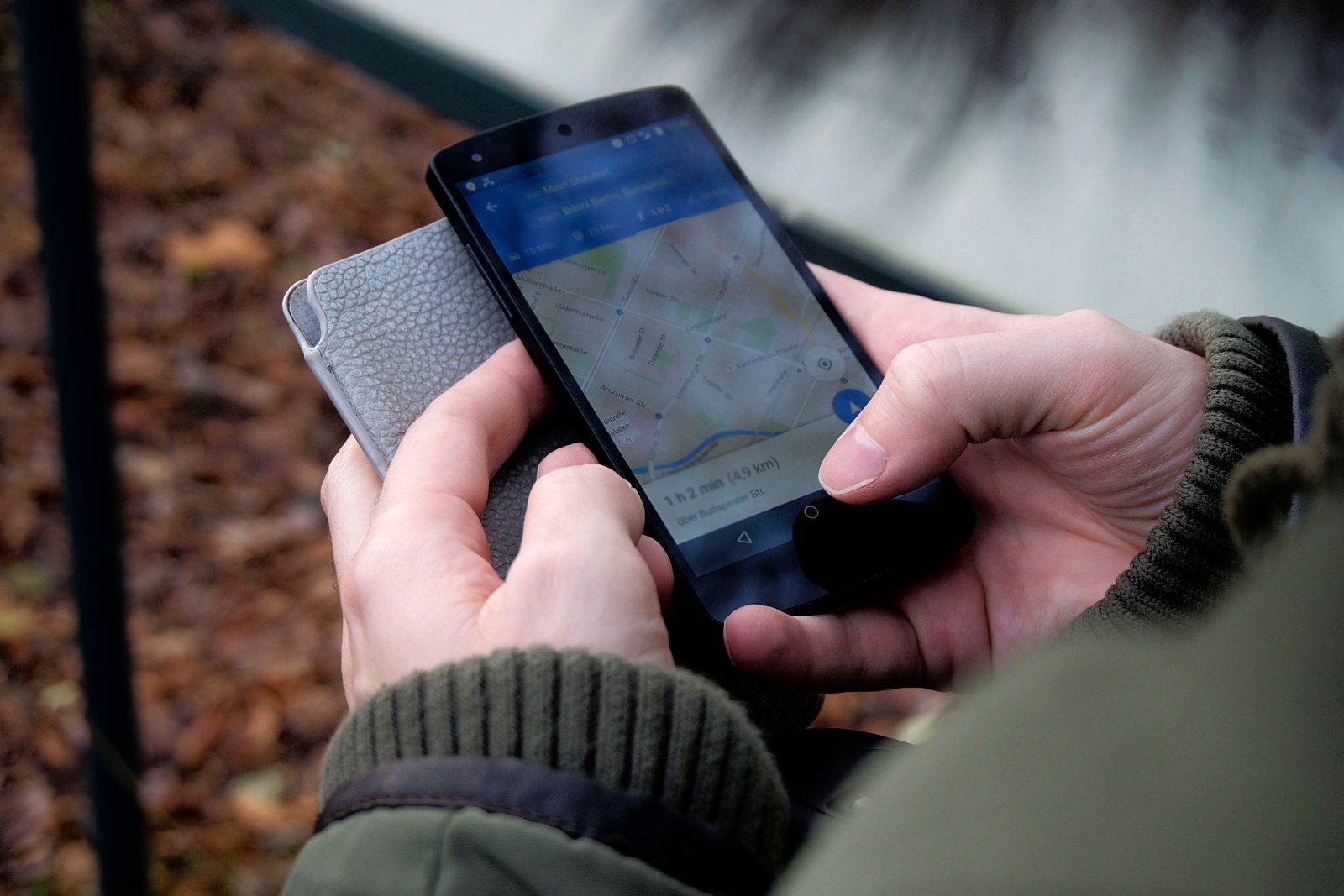
Photo: Ingo Joseph / Pexels
Ask ten people for the best map app and you get one answer, Google Maps, because for the average day it is correct. But the best map app for a commuter dodging crashes, a hiker above the tree line, a traveler landing in a foreign city with no data plan, and a user who refuses to be tracked are four different apps. Lists that rank one winner are answering a question nobody actually has. This guide answers the real one: which app is best at your main job, and what does it honestly cost you in money, data, or convenience.
Start with the decision checklist on this page. Each item describes a travel pattern; the items you tick name your app. Then read the quick picks, and only dive into the per-app sections for the two or three your ticks point to.
Interactive tool
Best Map App: Decision Checklist
Check off each step as you finish it. Your progress stays on this page.
0 of 7 complete
0% done
Quick Picks by Job
Your main job
Best pick
Why
Everyday everything
Google Maps
Deepest place data, every transport mode, works everywhere
Driving alerts on a commute
Waze
Driver reports minutes ahead of you, the freshest incident picture
iPhone, calm and private
Apple Maps
Built in, no ad profile, excellent CarPlay and watch integration
Big city transit
Citymapper
Transit routing that treats buses, trains, and walking as one trip
Hiking and trails
AllTrails or OsmAnd
Trail data, elevation, and offline maps built for the backcountry
Offline travel, no data plan
Organic Maps
Whole countries downloaded free, no account, no tracking
Power user offline
OsmAnd
The deepest offline features and map detail, a learning curve included
The Comparison Table
App
Price
Offline maps
Place data
Transit
Trails
Tracking
Google Maps
Free
Yes, chosen areas
Excellent
Very good
Poor
Location history unless paused
Apple Maps
Free, Apple only
Yes, regions
Good, best in big cities
Good in supported cities
Poor
Minimal by design
Waze
Free
No, cache only
Borrowed, minimal
None
None
Google ecosystem
Citymapper
Free, paid tier
Limited
Good in covered cities
Excellent in covered cities
None
Account based
Organic Maps
Free
Yes, whole countries
OpenStreetMap data
Basic
Good
None
OsmAnd
Free tier, paid full
Yes, whole countries
OpenStreetMap data
Basic
Excellent
None
Maps.me
Free, paid tier
Yes, whole countries
OpenStreetMap data
Basic
Good
Ads in free tier
AllTrails
Free tier, paid full
Paid tier
Trail focused
None
Excellent
Account based
Google Maps: The Default to Beat
Google Maps is the best map app for most people because the directory is the product: nearly every business on Earth, with hours, reviews, photos, and live busy-ness, plus driving, transit, cycling, and walking in one place. Its traffic picture blends phone movement with incident reports absorbed from Waze. The honest limits: trails barely exist in it, offline areas are rectangles you must remember to download, and your location history feeds Google's ecosystem unless you pause it. It is also the app most likely to route a walker along a road with no sidewalk, because its heart belongs to drivers. If your life is cities, cars, and finding places, stop reading and keep it. Everyone else, read on for your specialist.
Apple Maps: The iPhone Native
Apple Maps has quietly become a very good navigator: clear spoken directions, lane guidance, speed limit display, attractive street-level imagery, and offline regions since recent iOS versions. It wins on privacy outright, since Apple builds no ad profile from your trips, and on integration, since it lives in CarPlay, the watch, and your calendar. Its limits are the platform wall, it does not exist on Android, and thinner place data outside major cities. Our head-to-head with its sibling rivalry, Apple Maps vs Google Maps, goes deeper, and the three-way version including Waze is at Apple Maps vs Google Maps vs Waze.
Waze: The Commute Specialist
Waze is not really a map app; it is a drivers' radio network wearing a map. Its users report crashes, hazards, closures, and police in real time, and on a busy commute nothing else knows the road sooner. It is free, lively, and deliberately playful. The limits are severe and honest: no offline mode worth the name, no walking or transit directions, thin place data, and an aggressive routing style that threads residential streets to save a minute. Waze is the best second app on a driver's phone and a poor only app. Set its voice and alerts up properly once, and it earns its icon. Drivers who enjoy its style often start with our guide to how to change the voice in Google Maps, since the settings live in similar places in both apps.
Citymapper: The Transit Brain
In the cities it covers, Citymapper plans a public transit trip better than anyone: it chains a walk, a bus, a train, and another walk into one instruction stream, tells you which end of the platform to stand on, and prices the trip as it goes. For a visitor in London, New York, Paris, or the other covered metros, it removes the low-grade anxiety of a foreign transit system entirely. The limit is the coverage list itself: outside its cities, Citymapper is not an option at all, and it does not pretend to drive or hike.
Organic Maps: The Private Offline Traveler
Organic Maps is the friendly face of OpenStreetMap, the community-drawn world map. Download whole countries free, then search, route, and navigate with the phone in airplane mode: no account, no ads, no tracking, no data leaving the phone. Because its data is OpenStreetMap, it knows footpaths, benches, and trail junctions that Google Maps has never heard of, which makes it a quiet favorite of walkers. The trade is freshness and polish: a new restaurant may be missing until a volunteer maps it, and there is no live traffic at all. For travel beyond coverage, it is the strongest free answer we know, and it anchors our best offline map app comparison too.
OsmAnd: The Power Tool
OsmAnd uses the same OpenStreetMap data and adds everything: contour lines, hill shading, route profiles for cars, bikes, and boots, track recording, and plugins for weather, parking, and surveying. Hikers, cyclists, and overland drivers who learn it rarely go back. The honest cost is complexity: the first hour in OsmAnd feels like being handed the cockpit of a small aircraft. The free tier limits how many maps you can download; the paid tier removes the limit. Choose OsmAnd when the map itself is part of your hobby or your safety, and Organic Maps when you just want the country in your pocket.
AllTrails: The Trail Finder
AllTrails is a trail database first and a map second: hundreds of thousands of hikes with recent reviews, photos, and condition reports from the people who walked them last weekend. For choosing a hike, nothing else is close. As a navigator it is good rather than great, and offline maps sit behind the paid tier, which matters because trailheads live beyond signal. Many hikers pair it with an offline app: AllTrails to choose, Organic Maps or OsmAnd to navigate. Whatever you choose, learn the paper skill too; our how to read a topographic map guide is the backup that never runs out of battery.
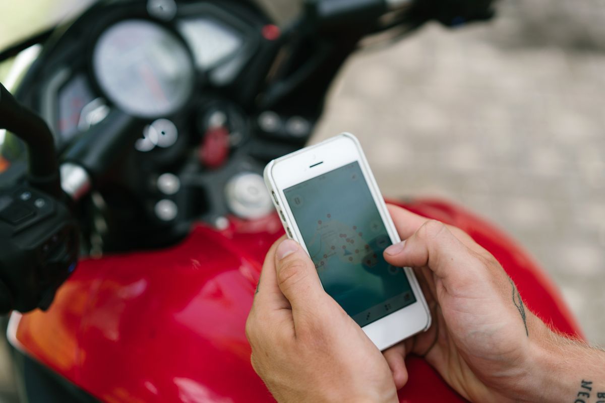
Seen from above, a person sitting on a motorbike studies a city map on a smartphone
The Two-App Strategy
Experienced travelers rarely crown one app. They run a pair: one live-data app for the connected world, and one offline app for everywhere else. The classic pairing is Google Maps plus Organic Maps: Google for finding tonight's restaurant and reading its reviews, Organic for the mountain day, the foreign SIM-less arrival, and the dead zone in between. iPhone owners swap Apple Maps into the first slot. Drivers add Waze as a third, commute-only tool. The pair costs nothing, covers each other's blind spots, and the offline half doubles as insurance when the live half loses signal at the worst moment, which is the moment offline always matters. Before any trip, run the setup in how to download offline maps so the insurance is actually in force.
What Best Costs: Money and Tracking
Every app in this guide is free to install, so the real prices are the other currencies. Google Maps and Waze charge attention and data: your movements enrich an advertising ecosystem, mitigated by history controls you must set yourself. Apple Maps charges platform loyalty: it only exists inside Apple's garden. The OpenStreetMap apps charge freshness: the map is drawn by volunteers, superb on trails and main streets, occasionally a season behind in a shopping district. Citymapper and AllTrails charge subscriptions for their best features. None of these prices is unreasonable; the mistake is paying one without knowing. Tick the checklist at the top honestly and the app that charges you in a currency you do not mind is your best map app.
Best Map App for Specific People
Delivery and rideshare drivers. Your map is a work tool, and minutes are wages. Waze earns its place for incident alerts on familiar ground, but Google Maps wins the pickup and drop-off game: its pins sit closer to real doors, its place cards show entrances and hours, and its address handling forgives the typos customers type. Run both; navigate the unfamiliar address in Google, and let Waze watch the commute between jobs. A coordinates app earns a third slot for rural drops with no address; see GPS coordinates apps.
Parents sharing location with kids. The map app matters less than the sharing layer, but the navigation default still counts. Apple Maps inside an all-iPhone family is the smoothest: locations, ETAs, and directions live in one ecosystem. Mixed families do better on Google Maps, whose sharing crosses platforms. In both cases the offline backup rule still applies for school trips and camps beyond coverage.
Cyclists. Google Maps has a real cycling layer in many cities and will route you onto bike paths, but OsmAnd and Organic Maps read OpenStreetMap's cycling data, which in much of Europe is the finest in existence, down to surface type. If your riding is touring rather than commuting, the offline pair beats the live giant again.
International travelers. Land, connect to airport Wi-Fi, and your first need is the ride to the hotel with no local SIM and roaming off. That is an offline job: the country you downloaded at home in Organic Maps or OsmAnd, or the Google Maps area you saved before departure. After you have data, Google Maps resumes its crown for restaurants and reviews, with Citymapper taking the transit days in its cities. Travelers who skip the pre-download step are the ones negotiating with taxi drivers at midnight.
New drivers. Calm beats clever. Apple Maps and Google Maps both speak early and clearly and prefer main roads; Waze's minute-hunting cut-throughs and pop-up reports ask for attention a new driver should spend on the road. Start with a calm app, and add Waze after the first year if your commute justifies it. While setting up, fix the voice and volume properly with how to change the voice in Google Maps.
Students and researchers. If you need the map as data, not directions, none of these is the end of the road: you want OpenStreetMap itself, downloadable for any area, and eventually a desktop GIS. Our guides to how to download OpenStreetMap data and GIS for beginners start that path.
How the Axes Were Judged
So the table above is more than opinion, here is what each axis means. Place data was judged on the long tail: not whether the app finds the airport, but whether it finds the village bakery with this year's hours. Offline was judged on the download unit and the routing that survives airplane mode, not the marketing claim. Trails were judged on whether the path network exists at all and whether elevation is shown. Tracking was judged on the default, not the best case after an hour in settings, because defaults are what most phones actually run. Price counts the tier you actually need: an app whose offline maps sit behind a subscription is a paid app for a traveler, whatever the install button says. Judge your own shortlist on the same axes, with your own main job at the top, and the checklist at the head of this page will usually settle it in a minute.
Related Guides
Readers working through this topic usually need its closest companions too. These map app guides cover the neighboring ground:
Google Maps, for the average user, because its place database is the deepest and it covers driving, transit, cycling, and walking in one app. The rest of this guide exists because your main job may not be average: the best app for hiking, privacy, transit, or offline travel is a different app.
What is the best free map app with no subscription?
Organic Maps: fully free, whole-country offline downloads, no account, no ads, and no tracking. OsmAnd's free tier is the more powerful option if you accept its download limits and learning curve.
Which map app works best without internet?
Organic Maps and OsmAnd, both built offline first on OpenStreetMap data. Google Maps and Apple Maps work offline inside areas you download in advance. Waze does not work offline in any meaningful way.
Which map app is best for hiking?
For finding and choosing trails, AllTrails. For navigating them offline with contours and route profiles, OsmAnd. Many hikers use both, plus a paper map for the days electronics fail.
Is there a map app that does not track me?
Organic Maps and OsmAnd collect no location data and need no account. Apple Maps is the most private of the big three by design. With Google Maps and Waze, pause location history and review the privacy settings, because tracking is the default there.
Should I delete Google Maps if I pick another app?
No. Keep it as your place directory and second opinion even if a specialist becomes your daily navigator. The two-app strategy in this guide beats any single winner, and Google Maps costs nothing to keep installed.
Photo credits: Ingo Joseph (Pexels); ArtHouse Studio (Pexels). Photos are served from this site; follow the credit to the library page for the original.