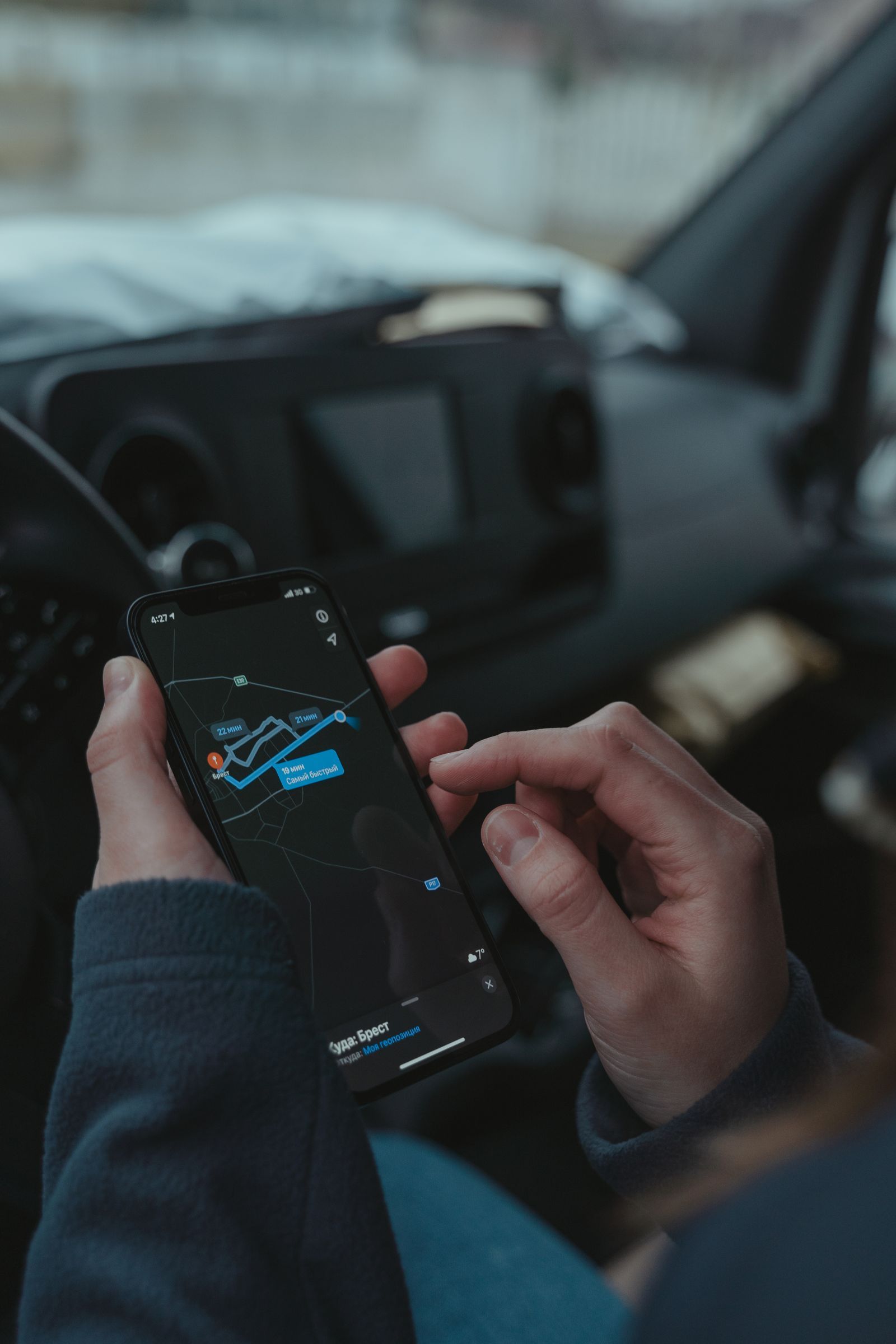
Three map apps sit on most phones, and they look interchangeable until you ask what each one is actually for. Apple Maps, Google Maps, and Waze are built around three different jobs. Google Maps is the world's place directory with navigation attached. Apple Maps is the iPhone's built-in navigator, private and deeply woven into the phone. Waze is a crowd of drivers reporting the road to each other in real time, with a map underneath. Pick by the job you do most, and the choice gets easy.
Work through the decision checklist below first. Every item you tick points at one of the three apps, and the pattern of your ticks matters more than any single feature. The rest of this article explains each axis, names a winner, and tells you the condition that flips it.
Interactive tool
Apple Maps, Google Maps, or Waze: Decision Checklist
Check off each step as you finish it. Your progress stays on this page.
0 of 7 complete
0% done
The Short Verdict
If you want one answer before the detail: most people should default to Google Maps, because finding places is the job that comes up most often and its listings are the deepest. iPhone owners who mostly drive familiar routes and value privacy can happily default to Apple Maps, which is now a genuinely good navigator. Waze is not a default for most people; it is a specialist you switch to for a commute or a city drive where live incident alerts save real minutes. Plenty of experienced drivers keep two of the three installed and treat Waze as the commute tool and Google Maps as everything else.
The Three Jobs, Separated
Comparisons go wrong when they score one app against another's job. Separate the jobs and the winners separate themselves.
Finding a place. Hours, reviews, photos, menus, busy times, the phone number that actually rings. This is a directory job, and it depends on how much place data the company has gathered and how fresh it is.
Driving a commute. The fastest legal route through today's traffic, with warnings about the crash, the closure, and the police car that appeared ten minutes ago. This is a live data job, and it depends on how many drivers are reporting right now, on your roads.
Surviving a road trip. Hours of routing through unfamiliar country, fuel and food stops along the route, and a plan for the stretches with no signal. This is a reliability job, and it depends on offline support and calm, clear instructions.
Axis by Axis
Axis
Apple Maps
Google Maps
Waze
Winner
Place listings and reviews
Good and improving, thinner outside big cities
Deepest database, freshest hours and reviews
Borrowed from Google, minimal detail
Google Maps
Live incident alerts
Reports from drivers, smaller crowd
Strong traffic, some incident reports
The crowd is the product: crashes, hazards, police, closures
Waze, where its crowd is dense
Routing style
Calm, clear, conservative
Balanced, reroutes readily
Aggressive, hunts minutes through side streets
Depends on taste
Offline maps
Yes, regions on iPhone
Yes, custom areas
Effectively no
Google or Apple
Privacy
Strongest of the three, no ad profile
Location history and ad ecosystem
Owned by Google, data-hungry
Apple Maps
Car integration
CarPlay, built for it
Android Auto and CarPlay
CarPlay and Android Auto
Tie, by phone
Platforms
Apple devices only
Everywhere
Everywhere
Google or Waze
Place data: Google Maps wins, and it is not close
Google has spent two decades collecting businesses, and it shows in the long tail: the rural bakery with correct hours, the trailhead parking lot with photos, the clinic whose number changed last spring. Apple Maps has closed much of the gap in large cities and its curated guides are pleasant, but outside the biggest metros you will still meet missing places and stale hours. Waze barely tries: it borrows Google's place data and strips it down, because Waze assumes you already know where you are going and only need the road read to you.
Live alerts: Waze wins where its crowd drives
Waze's map is drawn by its users' reports. A driver taps a button for a crash, a stalled car, a hazard, or a police presence, and everyone behind them learns about it within moments. On a busy urban commute this is the freshest picture of the road any app offers, and Google Maps itself quietly absorbs many Waze reports. The honest trade: the crowd is the coverage. On quiet rural roads at 5 a.m. there may be nobody ahead of you reporting anything, and Waze's advantage evaporates. Apple Maps and Google Maps both accept incident reports now, but their reporting crowds are smaller and slower.
Routing style: three personalities
Apple Maps gives calm, early, clearly spoken instructions and rarely gambles. Google Maps reroutes willingly when traffic shifts and explains itself with arrival times you can trust. Waze hunts: it will thread you through residential side streets to save ninety seconds, which delights commuters who know the area and rattles visitors who do not. Waze also cannot plan a multi-stop day the way Google Maps can, and its interface assumes a driver, not a pedestrian or a transit rider. Waze offers no walking or transit directions worth the name.
Offline: Waze is out, the other two are real
Apple Maps and Google Maps both download regions for offline use, with routing inside the saved area. Waze needs a connection for its live picture and keeps only a thin cache of your current route. If your driving includes mountains, deserts, or foreign roads without a data plan, Waze cannot be your only app. Our guide to how to download offline maps covers the setup for both of the others, and offline maps explains what still works when the signal dies.
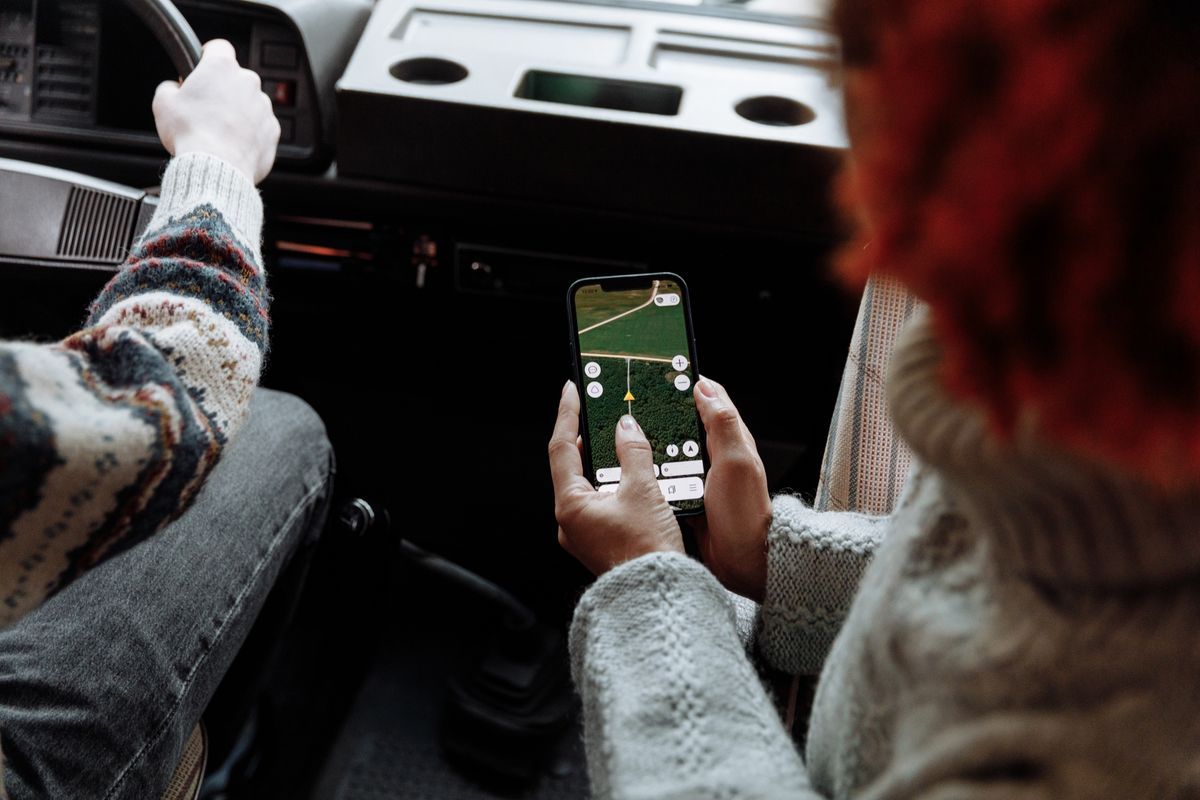
Two people using a navigation app on a smartphone during a road trip
Privacy: Apple wins by design
Apple Maps is built to avoid building a profile of you: trips are not tied to your Apple ID in a usable history, and there is no advertising business waiting on the other side. Google Maps and Waze are Google products, and your location history feeds an ecosystem that includes ads. You can pause and delete that history, and many people reasonably decide the listings are worth it. But if the question is which app watches you least, the answer is Apple Maps, and the gap is structural, not a settings toggle.
Picks by Driver Type
The commuter in a busy city. Waze for the drive, Google Maps for everything else. Check Waze before you leave; if its crowd is thin in your town, Google Maps is your commuter too.
The road tripper. Google Maps as the default, with offline areas downloaded before each long day. Waze helps on the interstate stretches near cities, then goes quiet exactly where the trip gets remote.
The iPhone driver who values calm. Apple Maps. It integrates with CarPlay, your watch, and your calendar better than anything else on the phone, and its directions are the clearest spoken of the three.
The rural driver. Google Maps. Waze's crowd is not on your roads, and Google's place data and offline areas carry the day. Download your county before you need it.
The privacy focused user. Apple Maps on iPhone. On Android, where Apple Maps does not exist, the honest answer is Google Maps with location history paused, or an offline-first app from our best map app guide.
The place hunter. Google Maps, whatever phone you carry. When the job is finding and vetting somewhere new, the directory is the product.
Where Each App's Data Comes From
It helps to know why the apps feel different. Google Maps is built from satellite and street imagery, business listings, government data, and the movement of millions of phones, edited by a company whose other products depend on the same map. Apple Maps began with licensed data and has been rebuilt with Apple's own survey vehicles and planes, plus the signals of iPhones used with privacy-preserving rotation. Waze began as a community map drawn by its drivers and still treats every user as a sensor and an editor first. None of the three is the community-drawn map that anyone can edit directly; that is OpenStreetMap, and our guide to how to add a place to OpenStreetMap shows how those edits work.
What Daily Use Actually Feels Like
Finding tonight's dinner. You type a cuisine and a neighborhood. Google Maps answers with a ranked list, ratings, photos of the food, how busy it is right now, and whether the kitchen closes before you could arrive. Apple Maps gives a shorter, cleaner card with ratings imported from partners; in a big city it is plenty, in a small town you may find three options where Google lists eleven. Waze gives you a name and a drive time, which tells you everything about its priorities.
The school run, every weekday. Waze learns the rhythm of your commute and speaks up about the crash on the bridge before you reach the on-ramp. Google Maps does nearly the same through its own traffic picture, a few minutes less fresh on incidents. Apple Maps is calm and clear but the last to know about the stalled truck, because fewer of its users file reports.
A new city, on foot. Waze leaves the chat entirely. Between the other two, Google Maps carries richer walking detail, indoor maps of stations and malls, and a deeper bench of reviews for the places you pass. Apple Maps counters with the cleanest look-around street imagery and the best integration with the watch on your wrist, tapping you at the turn. For the street-level preview itself, see how to use Street View in Google Maps.
A long drive through empty country. Google Maps with downloaded areas is the reliable companion; Apple Maps matches it on iPhone in the regions it supports. Waze, deprived of its crowd and then of signal, becomes a route line and a hope. This is the trip that decides the question for rural drivers, and it is why the offline row of the table matters more than the alert row for them.
Switching Costs: Your Saved Places and Habits
The apps are free, so the real price of switching is your accumulated stuff. Saved places, home and work pins, and favorite restaurants live inside each ecosystem. Google Maps lists export awkwardly; Apple Maps collections do not export at all in any friendly format; Waze favorites are the lightest of the three. If you have spent years starring places in Google Maps, that library is a genuine reason to keep it as your default and add a specialist beside it, rather than migrate wholesale.
Habit is the second cost. The app you already read at a glance, at sixty miles an hour, is the safest app for you this month. Switch deliberately: run the new app on familiar routes for a week, where a strange instruction costs you nothing, before you trust it in a strange city. And whichever you choose, set the voice and volume once, properly: how to change the voice in Google Maps walks through it for Google, and the same idea applies everywhere.
How the Arrival Times Are Built
All three apps predict your arrival the same basic way: they watch how fast traffic is actually moving on every road ahead of you, right now, and add it up. The difference is whose movement they watch. Google Maps blends the anonymized movement of Android phones and Google Maps users with road sensors and historical patterns for that hour and day. Waze leans hardest on its own drivers, who are also actively reporting, which is why its picture sharpens during rush hour and softens at odd hours. Apple Maps uses the movement of iPhones, processed with rotating identifiers so individual trips cannot be reconstructed, and leans more on historical patterns where live data is thin.
Two consequences follow. First, all three are most accurate in busy places at busy times, and least accurate exactly where you might want certainty: the empty road at dawn. Second, when an app offers a faster route mid-drive, it is not guessing; it has watched the alternative move faster in the last few minutes. Waze offers these swaps most eagerly, Google Maps nearly as often, Apple Maps most conservatively. If being rerouted stresses you, that conservatism is a feature: the calm app is not behind, it is choosing stability over ninety seconds.
The One-Minute Decision
Answer three questions and you have your default. Do you mostly drive the same commute in a busy area? Start with Waze for the drive and keep Google Maps for finding places. Do you mostly drive somewhere new, or search for places constantly? Google Maps, full stop. Do you drive an iPhone, mostly familiar roads, and dislike being tracked? Apple Maps, and enjoy the quiet. Every other consideration in this article refines one of those three answers rather than replacing them, and the checklist at the top of the page will confirm which pattern your own ticks form.
Data and Battery: The Hidden Costs
None of the three will drain a modern phone on a normal day, but their appetites differ in ways that matter on a long trip or a small data plan. Waze is the hungriest: its live picture means a constant conversation with the server, and it cannot fall back on a downloaded area when the connection dies. Google Maps and Apple Maps both spend most of their data up front if you let them, downloading areas on Wi-Fi, after which a day of driving costs very little. Screen time dominates battery use for all three; the app on the dashboard with the display lit for six hours is the drain, not the choice of logo. A charging cable in the car erases the battery question entirely, and on any trip over an hour it is the correct answer regardless of app.
One more hidden cost belongs to Waze alone: attention. Its reports, pop-ups, and points system ask the driver to participate, tapping confirmations and filing reports. Google and Apple have been removing interaction from the driving screen year by year; Waze still rewards it. Many drivers love the engagement and drive the same route daily, so the cost is invisible. For a stranger in a strange city, the quieter app is the safer app, which is another reason Waze works best as the home-turf specialist.
Related Guides
If this page answered part of the question, these map app guides cover the rest of the same ground:
Is Waze more accurate than Google Maps for traffic?
For incidents, often yes, in places where many Waze drivers are active: its reports come straight from drivers minutes ahead of you. For general traffic flow and arrival times the two are close, because Google folds Waze reports and its own phone data together. On quiet roads Waze's advantage disappears.
Can I use Apple Maps on Android?
No. Apple Maps runs only on Apple devices, although a limited web version exists for looking up places. Android users choosing between the other two should read the driver type picks above.
Which app uses the least mobile data?
All three cache the route you are driving, so data use on a single trip is modest. Waze uses data continuously for its live reports and cannot work offline at all. Apple Maps and Google Maps both let you download areas on Wi-Fi and drive with data nearly untouched.
Does Waze work for walking or public transit?
Not really. Waze is designed for drivers and offers no meaningful walking, cycling, or transit directions. Use Google Maps or Apple Maps for those trips.
Which app should I set as my only default?
Google Maps, for most people, because finding places is the most common job and its listings are deepest. Switch the default to Apple Maps if you are an iPhone driver who mostly drives familiar routes and values privacy, and keep Waze installed as the commute specialist rather than the default.
Why does Waze send me through neighborhood streets?
Because it optimizes for minutes, and a cut-through that saves ninety seconds wins in its math. If that style bothers you, Google Maps and Apple Maps both prefer main roads more strongly, and Waze itself has settings to avoid difficult intersections and reduce turns.
Photo credits: Tima Miroshnichenko (Pexels); Thirdman (Pexels). Photos are served from this site; follow the credit to the library page for the original.