You need a circle: everything within five miles of a warehouse, two kilometers of a school, a delivery zone, a search area. You open Google Maps, the most powerful consumer map ever made, and look for the circle button. It is not there. It has never been there. Google Maps measures distances and draws routes and polygons you click out point by point, but a true radius, a center and a distance swept into a circle, is not a native shape in Maps or in My Maps. This is not a complaint; it is a routing problem, and there are four good routes around it, each with a different cost in money, permanence, and precision. This guide walks all four, then asks the question that decides whether a circle was even the right shape.
Google Maps Radius Tool: How to Draw a Circle When Maps Refuses To
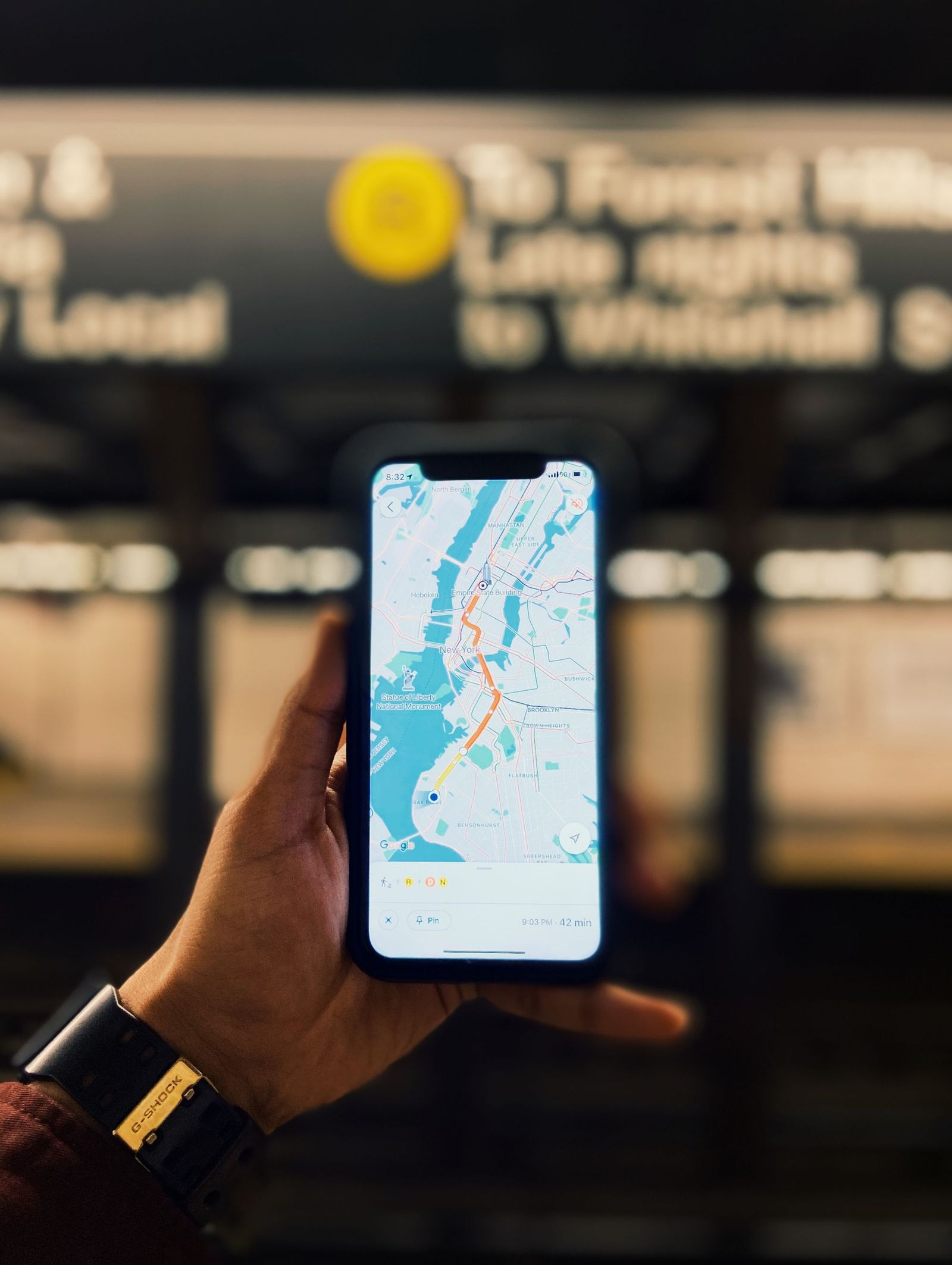
Photo: Yash Bhavsar / Pexels
Interactive tool
Draw the Circle: The Workaround Checklist
Check off each step as you finish it. Your progress stays on this page.
0 of 6 complete
0% done
Route One: Third-Party Circle Tools, the Fast Answer
The quickest route is a free web tool that embeds Google Maps and adds the missing shape. The pattern is consistent across the reputable ones: search or click to set a center, enter a radius in miles or kilometers, and the tool draws the circle on the Google basemap, often letting you drag the center, stack several circles, and export the result as KML. For a one-off question, how far does our five mile promise actually reach, this is the correct tool: thirty seconds, no account, no code. The cautions are equally consistent. You are trusting a third party's geometry, so verify the circle once against a known distance, as the checking section below describes. Free tools come and go, and their export options vary, so anything you will need again should be exported the day you draw it. And a circle drawn on a screenshot is a picture, not data; take the KML whenever the tool offers it.
Route Two: A KML Circle in My Maps, the Permanent Answer
When the circle must live inside your own custom map, alongside your pins and layers, the route is a file. A circle can be described in KML, the map file format Google tools speak, either by generating the file with a circle tool that exports KML, or by building it with a small script or a GIS program. Import that KML into Google My Maps as a layer and the circle appears, saved in your account, shareable like any My Maps layer, styled with the usual fill and outline controls. The honest footnote: My Maps treats the imported circle as a fixed polygon of many points, because that is what the KML contains. You cannot grab a handle later and change the radius from five miles to six inside My Maps; you regenerate the file and re-import. Plan for that by keeping the generator settings or the script with the map's notes. Our guide to creating a custom map covers the My Maps workspace this route lands in.
Route Three: Google Earth Pro's Ruler, the Built-In Answer
Google Earth Pro, the free desktop application, has quietly owned a circle tool all along. Its ruler dialog offers line, path, polygon, and circle modes; in circle mode you click a center, drag or type the radius, and Earth draws the circle on the globe and reports its circumference and area. For measuring questions, what area does a 10 kilometer radius cover, does the proposed site fall inside the zone, this is the most authoritative free route, because the geometry is computed on the ellipsoid by Google's own software rather than approximated by a web page. You can save the circle as a placemark in Earth, and export it as KMZ for use elsewhere. The costs are friction: a desktop install, an interface from another era, and a result that lives in Earth rather than in your Maps account. For a planner who needs the number more than the shareable map, it is the best route of the four.
Route Four: The Maps JavaScript API, the Programmer's Answer
If the circle belongs in your own web app, the answer is code. The Google Maps JavaScript API has a Circle class: give it a center, a radius in meters, and styling, and it renders a true editable circle, with events when the user drags it or changes its radius. This is the only route where the circle stays a circle, adjustable and reactive, because the API treats radius as data rather than as a drawn outline. The costs are the usual API costs: a Google Cloud project, an API key, billing enabled, and usage charges beyond the free allowances Google sets, which change over time and should be checked in the current pricing documentation rather than assumed. For a business building a delivery checker or a store locator, those costs are the price of a real feature. For a person with one question, they are absurd overkill, which is why this route is listed last despite being the most capable.
Check the Circle Before You Trust It
Whatever route drew your circle, verify it once, because a wrong circle looks exactly like a right one. Pick a landmark at a distance you know from the center, a town whose road distance or straight-line distance is established, and confirm the circle's edge falls where the known distance says it should. Confirm your units twice: the classic failure is a radius entered in miles into a tool expecting kilometers, producing a circle roughly 1.6 times too large or small that still looks plausible on screen. Confirm the center is the point you meant, because geocoding a place name can drop the pin on a centroid or a same-named place across the state. And if the circle decides something real, coverage, eligibility, a search grid, repeat the check at a second landmark in a different direction; geometry errors and wrong centers both reveal themselves when the check is not on the same axis as the mistake.
When the Right Answer Is Not a Circle: Drive-Time Polygons
Half the people drawing radius circles are asking a different question in disguise. A circle answers "what is within X distance as the crow flies." Most real questions are about reach: what can a driver cover in 30 minutes, where can a technician get to within the hour, what area does a location actually serve. Roads, rivers, one-way systems, and rush hours make reach a lumpy shape that no circle approximates well; a point three miles away across a river with one bridge can be 40 minutes off, while a suburb eight miles up the motorway is 15. Drive-time polygon tools, built into several mapping platforms and GIS programs, compute the real reachable area from the road network and a time budget. If your circle was going to decide deliveries, service areas, or site selection, draw the drive-time shape instead, or draw both and let the difference teach you what the road network does to your assumptions. The circle remains the right tool for genuinely geometric questions: radio range, blast and noise zones, search areas, buffers around a feature, and anything the crow's flight actually governs.
Circles in GIS, for When You Outgrow the Workarounds
Everything above is a workaround for a shape that desktop GIS treats as elementary. In QGIS, the program this site's QGIS tutorials teach, a radius circle is a buffer: select the center point, run the buffer with your distance, and you have a true circle as a real layer, ready to intersect with parcels, roads, or anything else, exportable to KML for My Maps in one step. If you find yourself drawing circles monthly, or asking what falls inside them rather than merely looking at them, that is the signal to graduate from web tools to a buffer in GIS. The learning curve is an afternoon; the payoff is that the circle becomes data you can interrogate, count within, and defend, instead of a line on a screenshot. Many readers of this guide will never need that. The ones who do will recognize themselves in this paragraph.
A Worked Example: The Five-Mile Delivery Promise
A bakery promises free delivery within five miles and asks what that actually covers. Start with the fast route: a circle tool, center on the bakery's address as pinned by the map, radius five miles, units checked twice. The circle covers the whole town and a bite of the next, which looks generous until the check step. The known-distance test uses the depot across the river, 4.2 miles straight-line: inside the circle, correct. Then the drive-time comparison ruins the simple picture, exactly as it should. The depot is 25 minutes away over one bridge, while a housing estate 5.8 miles north, outside the circle, is 12 minutes up the dual carriageway. The bakery's promise, measured in geometry, subsidizes the slow trip and excludes the fast one. The fix the owner chooses is a hybrid the tools make easy: keep the five-mile circle as the public promise, because customers understand it, but draw the 20-minute polygon alongside it, spot the estates where the two shapes disagree, and price those by time instead. None of that analysis needed GIS or code. It needed the circle drawn honestly, checked against a known distance, and then questioned by the shape that answers the real question.
Related Guides
The closest companions to this guide are the map app guides below. Each one picks up a thread this page starts:
- Google Maps Alternatives: The Honest Switch Guide for Drivers, Hikers, and the Privacy Minded: Leaving Google Maps is easy to start and surprisingly specific to finish: what you lose is live traffic and place data, and what you gain depends...
- Google Maps Fires: How to See Wildfires, Smoke, and Air Quality on the Map: Google Maps carries a wildfire layer that most users never turn on: under Layers and Map details, the Wildfires switch draws flame icons and red...
- How to Report a Road Closure on Google Maps: In Navigation, in Crisis, and for Good: Reporting a road closure on Google Maps is three different jobs wearing one name: an incident report filed from inside navigation for the closure...
Frequently Asked Questions
Why does Google Maps not have a radius tool?
Google Maps is built around routes, places, and measured distances, and Google has simply never shipped a native radius shape in Maps or My Maps. The gap is filled by third-party tools, KML imports, Google Earth Pro's ruler, and the Maps API. It is a product choice, not a setting you have failed to find.
How do I draw a radius circle on Google Maps for free?
Use a free third-party circle tool that embeds Google Maps: set the center, enter the radius, and export KML if you need to keep it. For a circle that lives in your own map, import that KML into Google My Maps as a layer. Verify the result against one known distance and double-check your units before trusting it.
Can I change the radius of a circle in My Maps later?
Not directly. An imported circle is stored as a fixed polygon, so changing the radius means regenerating the KML with the new value and re-importing it. Keep the tool settings or file that produced the original so the revision takes seconds rather than starting over.
What is the difference between a radius circle and a drive-time area?
A radius circle is pure geometry: everything within a set straight-line distance of a center. A drive-time area is computed from the road network: everything reachable within a set travel time. For deliveries, service areas, and site choice, drive time usually matches the real question; for range, buffers, and search areas, the circle is correct.
Is Google Earth Pro really free, and does its ruler draw circles?
Yes, Google Earth Pro for desktop is free, and its ruler includes a circle mode that draws a circle from a center and radius and reports circumference and area. The circle can be saved and exported as KMZ, making Earth Pro the most authoritative free route for measurement questions.
Photo credits: Yash Bhavsar (Pexels); Rodolfo Gaion (Pexels). Photos are served from this site; follow the credit to the library page for the original.