Create a Custom Map: Your Own Pins, Layers, and Lines (Free Tools)
By the Osm4People editorial team
Photo: Monstera Production / Pexels
Every map app shows you the world's map. A custom map is yours: your trip's stops in the order you will visit them, your customers on your round, your grandmother's village and the church where she married, plotted by you, named by you, shareable with exactly the people you choose. Making one used to be a specialist skill. Now it is a free, twenty-minute job in a browser, and the only real decision is which tool to build it in. This guide makes that decision with you, then builds a complete example map step by step, a three-pin first map of New York whose coordinates are printed right here so you can copy them exactly, and finishes with the layer method that keeps a map tidy when it grows from three pins to three hundred.
No account beyond the tool's own sign-in is needed, nothing costs money at the level this guide works at, and the map you build is genuinely yours to keep, share, or print.
Interactive tool
Create a Custom Map: Build Checklist
Check off each step as you finish it. Your progress stays on this page.
0 of 7 complete
0% done
Choose Your Tool First
Tool
Best for
What to know
Google My Maps
Trips, family maps, anything you will share with non-technical people
Free with a Google account; up to 10 layers per map; viewers need nothing but the link
uMap (on OpenStreetMap)
Maps you want built on open data, with no Google account involved
Free, open source; generous styling; share by link or embed
Felt
Beautiful presentation maps and team collaboration
Free tier to start; the polish is the point
Google Earth projects
Story-style maps tied to places, with photos and narrative
Better for presenting a journey than for data
QGIS
Data-heavy maps: your own spreadsheets, statistics, print output
A full desktop GIS, free; steeper start, no ceiling
For a first map, the honest default is Google My Maps: the base map is the one your viewers already know, sharing is a link, and the skills transfer to every other tool later. The build below uses My Maps vocabulary; uMap's steps rhyme closely enough to follow along.
The Example We Will Build
A first map should be small, real, and finished. Ours is Three New York Landmarks, three pins you can verify against any map on Earth:
Pin
Latitude
Longitude
Statue of Liberty
40.689167
-74.044444
Times Square
40.7580
-73.9855
Central Park, south end
40.7812
-73.9665
These coordinates are the same verified values used across this site; the explorer on this page will show you each point if you paste the pair in. By the end of the build you will have placed all three by searching, and one of them by typing coordinates directly, because that second skill is the one that unlocks every list, spreadsheet, and set of field notes you will ever want to map.
The Build, Step by Step
Open Google My Maps (mymaps.google.com) and click Create a new map.
Click Untitled map and name it: Three New York Landmarks. Add a one-line description; future you will thank present you.
Use the search box at the top to find Statue of Liberty. When its card appears, click Add to map. Your first pin exists.
Repeat for Times Square and Central Park (search for the park and drop the pin at its south end, near Columbus Circle, by clicking the marker tool and clicking the spot).
Now the coordinate method: click Add marker, and in the search box type the pair 40.689167, -74.044444. My Maps understands typed coordinates and flies to the point. (Delete the duplicate Liberty pin this creates; the exercise was the skill, and you now own it.)
Click the paint-bucket style icon on each pin and give the three pins one color and one icon shape. Consistent styling is what makes a map read as made, not spilled.
Click each pin's edit pencil and add one sentence of description: what it is, why it is on your map. A pin with a sentence is information; a pin without one is a rumor.
Click Share and set the map so anyone with the link can view it. Send the link to your phone and open it there; seeing your map arrive on a second screen is the moment the skill becomes real.
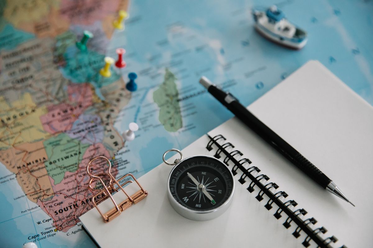
A flat lay of a pinned map with a notebook, compass, and pen
The Layer Method: How Maps Stay Organized
A layer is a named group of pins that can be shown or hidden together. My Maps allows up to 10 layers per map, and spending them wisely is the entire secret of a map that survives growth. Organize layers by kind of thing or by chapter of the story, never by the order you happened to add them. A trip map might use: Sleep, Eat, See, and Logistics (stations, parking, the airport). A family history map: Homes, Churches, Graves, Workplaces. A delivery round: Monday, Tuesday, Wednesday.
Two working rules. First, one idea per layer: if a layer's name needs the word "and", split it. Second, style by layer, all of Sleep in blue houses, all of Eat in orange forks, so the map's legend explains itself at a glance. When a map passes a hundred pins, and good maps do, layers are the difference between an atlas and a drawer of unsorted photographs. Plan the layers before the pins whenever you can; renaming and re-sorting later is possible but tedious, like all filing done in arrears.
Taking Your Map Further
Three upgrades cover most of what people want next. Lines and shapes: the draw-a-line tool traces routes and boundaries, a walking tour's path, a property's edge, a festival's footprint, and each can carry the same names and descriptions as pins. Imported data: My Maps and uMap both accept a spreadsheet of places (columns for name, latitude, longitude) and plot every row at once, which is how a three-pin skill becomes a three-hundred-pin afternoon; our latitude and longitude practice material is a good source of clean pairs to try. Embedding: both tools offer an embed code that drops your live map into a blog or a club website, updating as you edit the original. And when a map outgrows these tools entirely, when it needs statistics, print layouts, or serious data, that is the doorway into QGIS, which our qgis tutorial for beginners opens gently.
Common Problems and Their Fixes
A pin lands in the ocean. You typed the coordinates in the wrong order or lost a minus sign. Coordinates in My Maps are typed latitude first; a New York pin at -74, 40 instead of 40, -74 goes swimming off Africa. Edit the pin's location and retype the pair in the right order. The magnitude habit helps forever: latitude is never beyond 90, and for the United States the latitude is the smaller, positive number.
The map will not show for people you shared it with. Nine times out of ten the sharing setting is still private. Open Share and set it to anyone with the link; then test the link in a private browser window, which shows you exactly what a stranger sees.
Your imported spreadsheet plotted one giant pin cluster at zero degrees. The importer guessed the wrong columns, or your latitude and longitude columns are swapped, or the file uses semicolons where it expects commas. Re-import, assign the columns by name when it asks, and check one known row by hand against the explorer on this page before importing three hundred of them.
Two pins for the same place. You added it once by search and once by hand. Click each, read the descriptions, keep the better one, delete the other. Duplicates creep in during group projects especially; a monthly five-minute tidy keeps a shared map trustworthy.
Related Guides
The closest companions to this guide are the GIS and open map data guides below. Each one picks up a thread this page starts:
Yes. My Maps is free with a Google account, including sharing and embedding. uMap on OpenStreetMap is likewise free with an OpenStreetMap account. Paid tools like Felt add collaboration and presentation polish, but nothing in this article's build requires paying anyone.
How many pins can a custom map hold?
Far more than a beginner map needs. In My Maps, a single layer holds up to 2,000 elements and a map holds up to 10 layers, so the practical ceiling is in the tens of thousands; the real limit is your own organization, which is why this article teaches layers before volume. Importing a spreadsheet is how large sets get in without a week of clicking.
Can I make a custom map on my phone?
You can view and lightly edit shared maps in the Google Maps app (Saved, then Maps), and uMap works in a mobile browser, but serious building is a desktop or laptop job: the clicking precision and the layer panels assume a bigger screen. Build at a desk, enjoy on the phone.
Can other people edit my map?
Only if you invite them as editors, which My Maps and uMap both support. The safer default for most maps is view-only sharing by link, with one or two named editors for collaborative projects like a club's trail map or a family's reunion plan. Editors can change everything, so the invitation list deserves the same care as a house key list.
What is the difference between My Maps and Google Maps?
Google Maps is the world's map, showing everyone the same streets and businesses. My Maps is a layer of your own content drawn on top of that base: your pins, your lines, your names. The two meet in the Google Maps app, where your custom maps appear under Saved so you can navigate with your own atlas in hand.
Can I print my custom map?
Yes. My Maps offers a print view that produces a clean page with your pins and a legend, and uMap exports images as well. For anything destined for a wall or a report, set the base map style to the lightest option first, so your pins, not the base cartography, carry the ink.
Photo credits: Monstera Production (Pexels); Lara Jameson (Pexels). Photos are served from this site; follow the credit to the library page for the original.