People leave Google Maps for three reasons: privacy, offline reliability, and trails. No single alternative wins all three, and every switch trades away the two things Google does better than anyone, live traffic depth and place data. So this guide is organized by your reason for leaving, with an honest loss statement for each candidate. A feature grid alone would lie to you; the sections below say what each app actually feels like as your only navigator. For the head to head of the underlying data, see openstreetmap vs google maps; for the general ranking if you are not specifically leaving Google, see best map app.
Google Maps Alternatives: The Honest Switch Guide for Drivers, Hikers, and the Privacy Minded
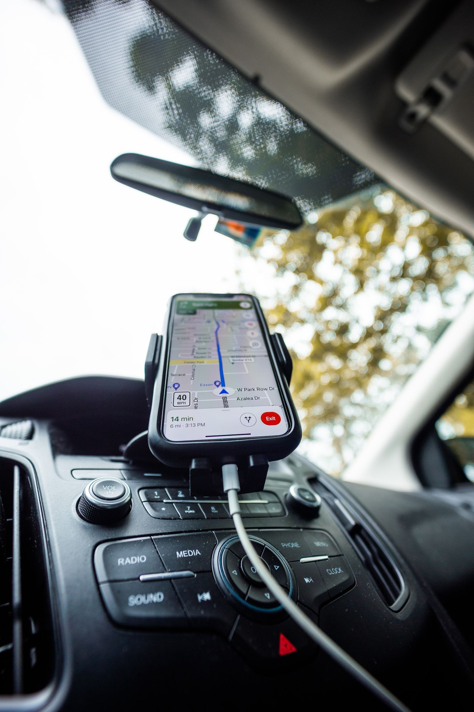
Photo: Caleb Oquendo / Pexels
Interactive tool
The Switch: What Has to Be True First
Check off each step as you finish it. Your progress stays on this page.
0 of 6 complete
0% done
What You Actually Lose, Stated First
Google Maps has the deepest live traffic data because it watches the most phones, and the deepest place data: hours, reviews, photos, and obscure businesses in small towns. Every alternative is thinner on both, and any guide that hides this is selling something. You also lose your history and lists in their native form: saved places can be exported, but not imported cleanly everywhere, and your Timeline stays with Google unless you export it through Google Takeout. What you gain in return is real: freedom from tracking, maps that work with no signal at all, and in two cases, trail and contour data Google barely bothers with. Decide which side of that trade you live on before choosing, using the checklist above.
Organic Maps and CoMaps: The Privacy and Offline Pick
Organic Maps is a free, open source app built on OpenStreetMap data, designed around two promises: no tracking and everything offline. You download whole countries, not rectangles, and then search, routing, and navigation all work in airplane mode, which makes it the default recommendation for travel and dead zones. Driving, walking, and cycling routes are solid; public transit is thin; live traffic does not exist. In 2025, a community fork named CoMaps split off over governance questions, carrying the same open source code and data forward; the two apps are near identical today, and choosing between them is a bet on which community you trust to maintain the code. Either is the cleanest exit from Google for most people. The offline workflow itself is compared across apps in best offline map app.
OsmAnd: The Power Tool for Trails and Detail
OsmAnd is also built on OpenStreetMap data, but aims the other way: maximum capability. It offers downloadable contour lines and hill shading, track recording, route profiles for cars, bikes, hikers, and boats, and a settings depth that borders on GIS software. Hikers and overlanders who found Google Maps useless off road usually land here; our trail focused coverage starts at best hiking map app. The honest costs are a busier interface, a learning curve measured in evenings, and a free tier that limits how many map downloads you get before the paid version makes sense. If your complaint about Google is that it knows nothing beyond the pavement, OsmAnd is the answer; if your complaint is privacy alone, Organic Maps gets you there with far less machinery.
Apple Maps: The Alternative You Already Own
On an iPhone, the most practical Google alternative is the one preinstalled. Apple Maps has rebuilt its data over years, offers strong privacy practices, downloads offline areas in current iOS versions, and integrates with the car through CarPlay and with your other Apple devices. Its place data and transit coverage remain behind Google in many regions, and it is simply unavailable as a native app on Android or Windows, which ends the discussion for mixed households; the browser version, covered in our apple maps online guide, fills only part of that gap. If you live entirely inside Apple hardware and your complaint is Google itself, switching costs you the least here. Drivers comparing the two in the car should read apple maps vs google maps for driving.
HERE WeGo and Magic Earth: The Quiet Middle
HERE WeGo comes from the automotive mapping world and it shows: clean driving navigation, whole country offline downloads, and a calmer interface than Google, with weaker place data and community features. It suits drivers who want offline reliability without the open source aesthetic. Magic Earth builds on OpenStreetMap data with a privacy pitch and a polished driving interface, including traffic in some regions sourced from partners; it is a reasonable middle path, though its smaller user base means thinner incident reporting than Waze or Google. Neither will beat Google at finding a tiny restaurant's current hours. Both will get you across a country with no signal and no account watching you, which for many switchers is the entire point.
Waze: Not Really an Exit
Waze appears on every alternatives list, and it deserves an asterisk: Google bought Waze in 2013, so switching to Waze changes your interface, not your landlord. What Waze does offer is the best community incident reporting in the business, police, hazards, closures, and a driving experience tuned for commuters. It is also essentially an online app; its offline behavior is a cached route, not a downloaded map. If your problem with Google Maps is clutter or routing taste, Waze is a fine answer, and google maps vs waze compares them directly. If your problem is Google, Waze is not an alternative at all, and does waze use gps explains the one part of the stack that is genuinely its own.
The Switching Steps That Preserve What Can Be Preserved
Do the move in this order. First, export: in Google Takeout, request your Maps data, and in Google Maps export your saved lists where the app allows, accepting that stars and lists travel imperfectly; a plain list of names and addresses in a note is the backup that never fails. Second, install the new app and download your home region and any trip regions while on Wi-Fi. Third, run both apps in parallel for a week of real trips, which is the only honest test of traffic, routing taste, and place data in your area; the checklist phrases this as a promise to yourself. Fourth, rebuild your saved places in the new app by hand, a chore that takes an evening and only needs doing once. Finally, change the defaults: the new app as the link opener where your phone allows it, and your car's Android Auto or CarPlay preference, so the switch survives contact with habit.
The Migration Habit: Leave Google in Stages
The switchers who succeed treat the move as a migration with a rollback, not a leap. Week one, the new app rides along: installed, home region downloaded, used for every trip where being wrong costs nothing, while Google handles the airport run. Week two, the new app leads and Google becomes the checker, consulted when a place is missing or a route smells wrong; this is the week that teaches you your area's true coverage in the new data, which no review can tell you, because OpenStreetMap quality is a local variable, superb where mappers are dense and thin where they are not. Week three, defaults change: the new app becomes the car's and the link opener's choice, and Google stays installed, demoted to a place database you consult deliberately. Keeping the old app installed is not failure; it is the honest end state for most switchers, Google as the yellow pages, the alternative as the navigator. What you have actually left, by then, is the tracking and the dependence, which were the point.
The Special Case of Transit and Small Towns
Two environments punish every alternative equally, and a switcher should test both before committing. Public transit is the first: Google's transit data, schedules, real time arrivals, station exits, is a decade of agency relationships deep, and the open alternatives range from decent in big European cities to absent in most of the world; if your commute is a bus, your alternative may be a dedicated transit app riding beside your new navigator rather than inside it. Small towns and rural areas are the second: place data thins, and OpenStreetMap's coverage depends entirely on whether anyone local maps; a village with an active mapper is superbly covered, the next village over may lack half its businesses. The parallel running week from the migration section is precisely the test for both: ride your real commute and drive to your real small town in the new app, and let those two trips, not a feature grid, cast the deciding vote.
Related Guides
The closest companions to this guide are the map app guides below. Each one picks up a thread this page starts:
- How Often Is Google Maps Updated? The Honest Answer, Layer by Layer: There is no single update cycle for Google Maps, because the map is not one thing.
- How to Change the Car Icon in Google Maps: Swap the Blue Arrow for a Vehicle: The Google Maps car icon is changed from inside an active navigation session, not from the app's Settings menus: start a route, tap the blue arrow...
- How to See How Busy a Place Is on Google Maps: Popular Times, Live Bars, and Waits: Google Maps keeps a crowd diary for millions of places: a chart of how busy each one usually is, hour by hour and day by day, plus a live bar...
Frequently Asked Questions
What is the best Google Maps alternative for privacy?
Organic Maps or its fork CoMaps. Both are open source, need no account, include no trackers, and work fully offline, so there is nothing to phone home with. OsmAnd is also tracker free in practice but is a heavier tool. Apple Maps is the low effort privacy improvement if you are on an iPhone.
Which alternative works best with no signal?
Organic Maps, CoMaps, and OsmAnd, all built on downloaded OpenStreetMap data, with HERE WeGo close behind for drivers. Waze is the weakest here: it navigates a cached route offline but cannot plan a new one. Google Maps itself downloads rectangles; the alternatives download whole countries, which is the practical difference on a long trip.
Will I lose my saved places if I switch?
Mostly, yes, in their native form. Export through Google Takeout before you switch, keep a plain text list of the places that matter, and rebuild the list in the new app by hand. No alternative imports Google lists perfectly, and any tool promising a one click transfer should be treated with suspicion.
Is Waze a real alternative to Google Maps?
As an interface, yes; as an exit from Google, no, because Google has owned Waze since 2013. Waze wins on community incident reports and commuter routing. Choose it to change the driving experience, not the company holding your data.
Which alternative is best for hiking?
OsmAnd, for its downloadable contour lines, hill shading, and track tools, with Organic Maps as the simpler option for marked trails. Google Maps has minimal trail data by comparison. Our best hiking map app guide compares the trail candidates in depth.
Photo credits: Caleb Oquendo (Pexels); Caleb Oquendo (Pexels). Photos are served from this site; follow the credit to the library page for the original.