Does Waze Use GPS? Yes for Position, Internet for Everything Else
By the Osm4People editorial team
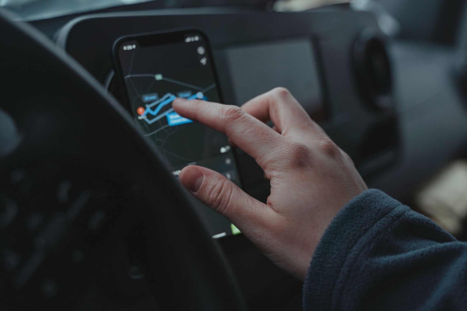
Photo: Tima Miroshnichenko / Pexels
Yes, Waze uses GPS. It has no other way to know where you are: the same satellite system that positions every navigation app positions Waze, and your phone's GPS receiver is doing the work, not anything special inside the app. But the question usually hides a second one: if Waze uses GPS, why does it struggle when the internet drops? That answer is the interesting half of this article. Waze is a split creature. Its position comes from the sky, free and offline. Almost everything else it is famous for, the traffic-aware routes, the hazard alerts, the police and pothole warnings from other drivers, lives on Waze's servers and arrives over your data connection. Understanding that split tells you exactly how Waze behaves in every failure situation, which this article tabulates honestly.
For the satellite half itself, our explainer how does GPS work covers the full story. Here we focus on what Waze adds on top of it.
Interactive map
Distance Measurer
Click the map to drop numbered points. The line between them is measured as the crow flies, with the bearing of each leg.
The position half (GPS, offline, free). Your phone's receiver times signals from GPS satellites and computes your coordinates, speed, and direction. Waze reads that fix several times a second to move your car icon along the road. This half needs a view of the sky and nothing else. It works in airplane mode, abroad, and off-grid.
The knowledge half (internet, live, crowdsourced). Waze's routes are calculated on its servers, weighing live traffic reported automatically by every Waze phone on the road and manually by drivers tapping alerts: crashes, hazards, roadworks, speed cameras. The map edits, the ETAs, the decision to send you down a side street, all of it is computed from that crowd data and sent to your phone. No connection means no fresh knowledge.
Put simply: GPS tells Waze where you are; the internet tells Waze what the roads are doing. A Waze with only GPS is a dot that knows its place on a map it may not even have downloaded. A Waze with only internet and no sky view cannot place you at all.
The Failure-Case Table
Situation
Your position
Routes and traffic
What actually happens
No mobile data, clear sky
Works (GPS)
Frozen at last download
A route already started keeps guiding from its cached path; new routes and alerts stop
No sky view (tunnel, garage), data fine
Lost or guessed
Live
Position freezes or dead-reckons briefly, then jumps when sky returns
Neither data nor sky
Lost
Frozen
The app shows your last known position and waits; navigation is effectively paused
Tunnel on a Waze Beacon route
Maintained
Live
Small Bluetooth beacons installed in some tunnels feed your position underground
The first row is the one that matters most in practice, so let us be precise about it. If you start a route while connected and then lose signal, Waze continues guiding along the route it already downloaded, using GPS to track your progress. What it cannot do is notice the new crash ahead, reroute around it, or build a fresh route if you abandon the current one and drive somewhere unplanned. The knowledge half has gone quiet, and the app is coasting on what it last knew. In a city, signal usually returns in seconds. In a rural dead zone, you can coast for a long while, and the correct response is the one in our guide to offline maps: download a proper offline backup in Google Maps or a dedicated offline app before the trip, because Waze is not one.
Waze Beacons: The Tunnel Exception
The tunnel row of the table deserves its own paragraph, because it is genuinely clever. Waze runs a program that installs small battery-powered Bluetooth beacons on tunnel walls, in cities that adopt it. As you drive through, your phone hears the beacons in sequence and Waze reconstructs your position from them, so navigation continues underground where no satellite signal reaches. It is not everywhere, it depends on the city having joined the program, and it helps only inside those specific tunnels, but where it exists it solves the one place every GPS app goes blind.
An aerial view over a dense city street grid and rooftops
Waze vs Google Maps: What Each Takes From Your Phone
Both apps read the same GPS fix from the same phone. The difference is what else they consume and contribute. Google Maps draws on an enormous database of places, satellite imagery, and traffic gathered from Android phones and its own sources, and it can download areas for true offline use. Waze draws on its driver community's live reports, which is why its hazard alerts are faster and richer, and why it offers no real offline mode: a crowd product with no crowd connection has little left to sell. Our three-way comparison, apple maps vs google maps vs waze, scores them across a whole trip. The one-line version: same satellites, different brains.
A privacy footnote belongs here, because the split explains it. To feed the knowledge half, Waze phones report their position and speed to the servers continuously while the app runs. That reporting is the product. If that trade bothers you, it is a reason to prefer an offline-first app, not a reason to fear GPS itself, which broadcasts nothing about you to anyone; your receiver only listens.
Getting the Best Fix While Using Waze
Since Waze is only as good as the GPS fix underneath it, the usual positioning hygiene applies with full force. Give the phone a view of the sky: a dashboard mount beats a lap or a cup holder, and a metal roof between the phone and the sky is the enemy, which is why the windshield mount exists. Keep location permission set to precise, and on Android keep the location mode on high accuracy so Wi-Fi and cell signals assist the satellites in cities. If your car icon lags behind junctions or sits on a parallel street, that is the fix degrading, and the fixes in why is my location not accurate apply to Waze exactly as they do to Google Maps, because the hardware being fixed is the same.
What Waze Does With Your GPS Trace
Since your phone reports position and speed to Waze's servers throughout a drive, it is worth knowing what that stream becomes. In the moment, it becomes traffic: your speed on your road, anonymized and merged with every other driver, is the raw material of the ETAs and reroutes everyone else receives, just as theirs becomes yours. After the trip, your drives are stored in your account's history, which is how the app learns your frequent destinations and your home and work. You can review and delete past drives in the app's settings, and you can drive with a guest or paused location if you prefer a trip to leave no trace, at the cost of the app knowing less about you next time. None of this is hidden behavior; it is the explicit bargain of a crowdsourced navigator, free guidance paid for in movement data. The GPS satellites, to say it once more, are not a party to the bargain: they broadcast to everyone and hear from no one, and the reporting exists only because the app chooses to send what the receiver learned.
Why Waze Cannot Simply Add an Offline Mode
Users have asked Waze for offline maps for years, and the absence is structural, not lazy. An offline mode needs a map stored on the phone, sized and updated like Google Maps' downloads. Waze's map is edited constantly by its volunteer community and its routing brain lives on servers that weigh the whole crowd at once; the app's founders built it as a connected product from the first line. Bolting on a stored map and a local router would make it a different, second product inside the first. Google, owning both Maps and Waze, has little reason to build that product twice, since Google Maps already is it. So the practical answer for Waze loyalists is the pairing this article has implied throughout: Waze for the connected commute it is unmatched at, and a downloaded Google Maps area riding quietly on the same phone for the day the signal, the tunnel, or the countryside takes the crowd away.
Related Guides
Readers working through this topic usually need its closest companions too. These GPS and navigation guides cover the neighboring ground:
Only in a limited, coasting sense. A route started while online continues to guide you using GPS along its cached path, but you get no new routes, no traffic updates, and no alerts. For genuine offline navigation, download an area in Google Maps or use a dedicated offline app as a backup.
Does Waze use more data than Google Maps?
Generally yes, somewhat. Waze is in constant conversation with its servers, sending your speed and position and receiving the crowd's reports, while Google Maps can lean on downloaded areas. Both are modest next to video or photo apps, but on a tight plan or expensive roaming, Waze is the hungrier navigator.
Why does Waze show my speed?
Because GPS gives it speed for free. Each position fix comes with a velocity, computed from how your coordinates change and from the Doppler shift of the satellite signals. Waze displays it, and uses it both for your ETA and, anonymously, as one of the traffic reports feeding everyone else's routes.
Can Waze find me in a parking garage or tunnel?
Not by GPS; the signals cannot reach you there. The app dead-reckons briefly from your last fix and speed, which is why the icon sometimes glides hopefully for a few seconds, then stalls or jumps. The exception is tunnels fitted with Waze Beacons, where Bluetooth signals replace the satellites.
Does Waze drain the battery faster because of GPS?
GPS listening is a real battery cost in any navigation app, and Waze adds its constant data conversation on top, so yes, it is among the hungrier navigators. A car charger or power bank is standard equipment for long Waze drives.
Is Waze's position more accurate than Google Maps on the same phone?
No. Both read the same GPS fix from the same receiver, so their raw position is identical. What can differ is how each app snaps that fix to the road and smooths it, which is presentation, not accuracy. If both are wrong in the same place, the problem is the sky view or the phone, not the app.
Photo credits: Tima Miroshnichenko (Pexels); Rajeev Singh (Pexels). Photos are served from this site; follow the credit to the library page for the original.