A location is awkward to dictate and easy to mistype, but it fits perfectly in a QR code: scan, and the phone opens its map app on your exact point, directions one tap away. Event signs, rental listings, trailhead boards, wedding invitations, and delivery instructions all use this trick, and making the code takes two minutes once you know which link format to encode. This guide covers the formats, the precision, and the testing discipline. It is the creating half of the QR pair; the scanning half, reading codes you find in the wild with Google Maps and the camera, is google map how to scan qr code.
Home / GPS and Navigation Guides
GPS Location QR Code: How to Make a QR Code That Opens Your Exact Spot on a Map
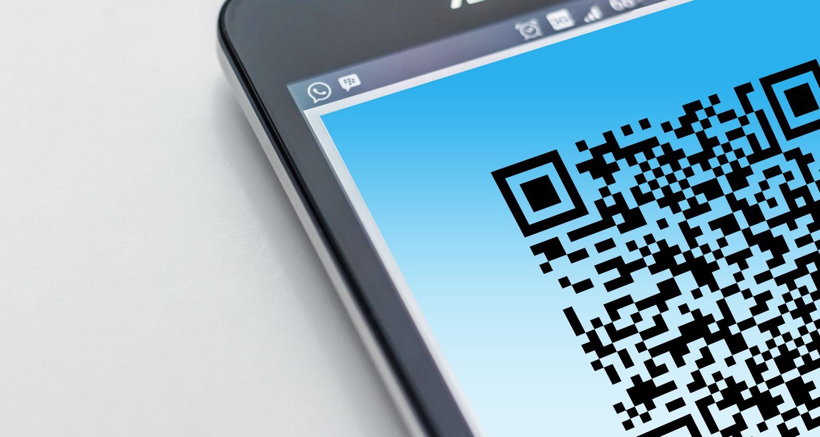
Photo: Pixabay / Pexels
Interactive tool
Coordinate Converter: The Pair That Goes in the Code
Convert any spot into clean decimal degrees here, then build the geo link for your QR code as geo:latitude,longitude, for example geo:40.748817,-73.985428 for the Empire State Building. Six decimal places is the sweet spot this article recommends.
From decimal degrees
Degrees minutes seconds40° 41' 21.00" N, 74° 02' 40.00" W
Degrees decimal minutes40° 41.350' N, 74° 02.667' W
Plus code (11 digits)87G7MXQ4+M67
Plus code (10 digits)87G7MXQ4+M6
Your latitude breaks down as 40 degrees, 41 minutes, 21.00 seconds. One degree is 60 minutes, one minute is 60 seconds, so a second of latitude is about 31 meters on the ground.
From degrees minutes seconds
Decimal degrees40.689167, -74.044444
Degrees decimal minutes40° 41.350' N, 74° 02.667' W
Plus code (11 digits)87G7MXQ4+M67
Conversions use the WGS 84 coordinate system, the same one GPS satellites and phone maps use. Plus codes are computed with the open location code algorithm, the same method Google Maps uses.
The Format That Matters: The geo URI
The universal location link is the geo URI, standardized in RFC 5870. It looks like this: geo:40.748817,-73.985428 (the Empire State Building). Encode that text in a QR code and a scanner offers to open it in a map app, on Android natively and on iPhone through the camera and map apps' handling. Add a zoom hint with ?z=17 (geo:40.748817,-73.985428?z=17) to open zoomed to street level. The geo URI's virtue is neutrality: it names a point, not a company's service, so it cannot rot when a vendor changes its link scheme, and it prints happily on a sign that must work for a decade. Its one weakness is presentation: the recipient gets the point, without a place name or your custom label, so pair it with printed words on the sign itself ("Trailhead parking, scan for directions").
The Branded Links: Google, Apple, and Waze
When you want the scan to open a specific app with a label, encode that app's link instead. A Google Maps link in the form https://www.google.com/maps?q=40.748817,-73.985428 opens the point in Google Maps on Android and in the app or browser on iPhone; the fuller search URL format also accepts a place name after the coordinates. An Apple Maps link, https://maps.apple.com/?ll=40.748817,-73.985428 with an optional q= label, is the right choice when your audience is all iPhone. A Waze link targets drivers specifically. The trade off is lock in for polish: branded links can show your business name and reviews, and they break if the vendor retires the scheme. For a printed sign or anything permanent, the geo URI is the safer core; for a digital invitation or a business listing you control and can update, a branded link is nicer. Getting the pair itself right is the subject of how to find coordinates by address when all you have is a street address.
Precision: Six Decimals, No More, No Fewer
Coordinates for a QR code should carry six decimal places, which is about 0.11 meters of resolution, finer than any phone can locate itself and exactly the habit that prevents rounding from moving your point across a street. Fewer decimals costs real ground: four decimals is about 11 meters, enough to land a guest at the wrong door on a dense street. More decimals adds length to the code without adding truth, and a longer payload makes a denser QR code, which prints worse and scans worse in rain and low light. Keep the payload short in general: the bare geo URI is one of the shortest useful payloads there is, which is another reason it wins for print. If you are converting a pair from a format like degrees minutes seconds, our convert latitude and longitude guide handles the translation, and the converter above restyles any pair into clean decimal degrees.
Generate It, Then Test It Like a Stranger
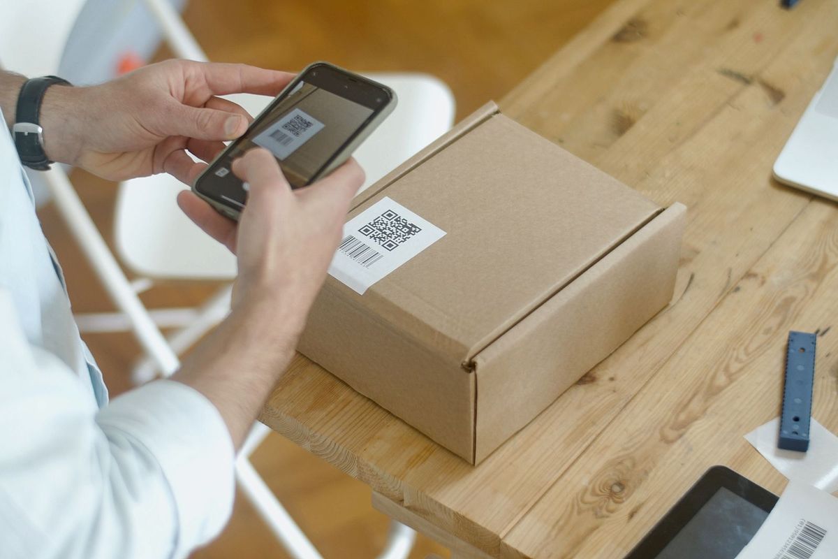
Any reputable free QR generator accepts a text payload; paste the geo URI or the link, export a high resolution PNG or SVG, and resist decorating the code with logos or colors, which eat the error correction margin that lets a dirty or sun faded print still scan. Then test as your audience will: print at final size, stick it where it will live, and scan it with both an iPhone and an Android phone, on mobile data, from the distance a person will actually stand. Check that it opens the point you intended (compare against the pair you started from, not the place you hope it is), at a useful zoom, with directions available in one tap. The test that matters is the far one: a code that scans at arm's length on your desk but fails at a meter on a trailhead board is a failed code, and the fix is a bigger print or a shorter payload, not a different generator.
Static vs Dynamic Codes
A static code encodes the location itself; it works forever, needs no service, and can never be changed, which is a feature for a trailhead and a risk for a business that might move. A dynamic code encodes a short redirect link owned by a QR service, so you can retarget it later and count scans, at the price of a subscription, a dependency, and a code that dies if the service does. For locations, static is right almost always: coordinates do not change, and the permanence is the point. Choose dynamic only when the destination itself is provisional, a pop up event, a listing under construction, and even then print the plain address beside the code as the fallback that needs no camera at all.
Where Location QR Codes Earn Their Keep
The pattern that works everywhere is point plus problem: a place people must find precisely, where "the address" underdetermines the spot. Trailhead and beach access parking, where the lot has no address and the road address lands a kilometer off. A rental or Airbnb's exact entrance, sent in the booking message and taped inside the door for the return trip. Event and wedding venues, where the pin is the gate, not the venue's postal address. A business's service entrance or loading dock, distinct from its storefront. In each case the code removes the last hundred meters of confusion, which is where location sharing by address always fails. For sharing a moving person instead of a fixed point, a QR code is the wrong tool entirely; use how to share your location and its live feeds.
Designing the Code Itself: Size, Quiet Zone, and Surfaces
The code's physical design decides whether any of the formats above survive contact with the real world. Size: a code meant to be scanned from a standing position needs roughly one centimeter of print per meter of scanning distance as a floor, and outdoor signs should double it, because glare, rain spots, and cheap phone cameras all tax the budget. Quiet zone: every QR code requires a clean margin of blank space around it, four modules wide; designs that run text or borders into that margin are the leading cause of "the generator worked but the sign does not". Contrast and surface: black on white, matte, and flat beats every branded alternative; glossy lamination under angled sun is a mirror, and a code wrapped around a pole is two half codes. If the code must carry branding, put the branding beside it, never inside it. These are not aesthetic opinions; they are the physics of a camera resolving modules, and a location code that fails in the field fails completely, because unlike a mistyped address it offers the user nothing to fall back on except the printed coordinates you were wise enough to add.
Related Guides
This guide does not stand alone. The GPS and navigation guides below take up the questions it leads into:
- GPS Location in JavaScript: The Geolocation API, Worked End to End: A web page cannot touch the GPS chip directly, but JavaScript's Geolocation API asks the browser for the device's best position and hands you...
- How to Share Your Location With Someone: Choosing the Route That Fits the Person: Every location sharing guide asks which app you have.
- How to Share Your Location From iPhone to Android: Every Route That Actually Works: Find My cannot share an iPhone's location with an Android phone at all, so cross platform families need a bridge.
Frequently Asked Questions
How do I make a QR code for a location?
Get the spot's latitude and longitude in decimal degrees, build the link (geo:latitude,longitude for the universal form, or a Google Maps or Apple Maps link), paste it into any QR generator as a text or URL payload, export the code, and test print it with both phone platforms before using it. Six decimal places is the right precision.
What is a geo URI?
It is the standard link format for a geographic point, defined in RFC 5870: the word geo, a colon, then latitude and longitude in decimal degrees, optionally with ?z= for a zoom level. Phones recognize it and offer to open the point in a map app, which is why it is the safest payload for printed location codes.
Will an iPhone scan a geo QR code?
Yes. The iPhone camera reads the code and offers the location in Maps. Android handles geo URIs natively as well. If an older phone balks, the same code printed beside the coordinates as text is the universal fallback, and any scanner app will still read the payload.
Should I use a static or dynamic QR code for a location?
Static, in nearly every case. The coordinates never change, the code works forever with no service behind it, and there is nothing to expire. Dynamic codes make sense only when the destination itself is temporary and you need to retarget the code later.
How accurate is a location from a QR code?
Exactly as accurate as the coordinates you encoded; the code adds no error. The scan lands the recipient's map on your point, and from there their phone's own GPS, good to about 5 meters in open sky and worse in cities, guides the final approach. Encode a point you verified, at the entrance, not the center of the building.
Photo credits: Pixabay (Pexels); Kampus Production (Pexels). Photos are served from this site; follow the credit to the library page for the original.