"How often is Google Maps updated?" sounds like it should have a number for an answer. It cannot, because Google Maps is not one dataset with one clock. It is a stack of layers, each fed by a different pipeline, each aging at a different speed. The traffic colors on your commute this morning were computed minutes ago. The satellite photograph of your house may predate your last car. Both are "Google Maps," and asking when "it" updates is like asking when a city updates. This guide walks the stack layer by layer, with the ranges the evidence supports, and is explicit about the thing most articles hide: Google publishes no official schedule for any of it, so anyone quoting you an exact refresh period for imagery is guessing with confidence.
How Often Is Google Maps Updated? The Honest Answer, Layer by Layer
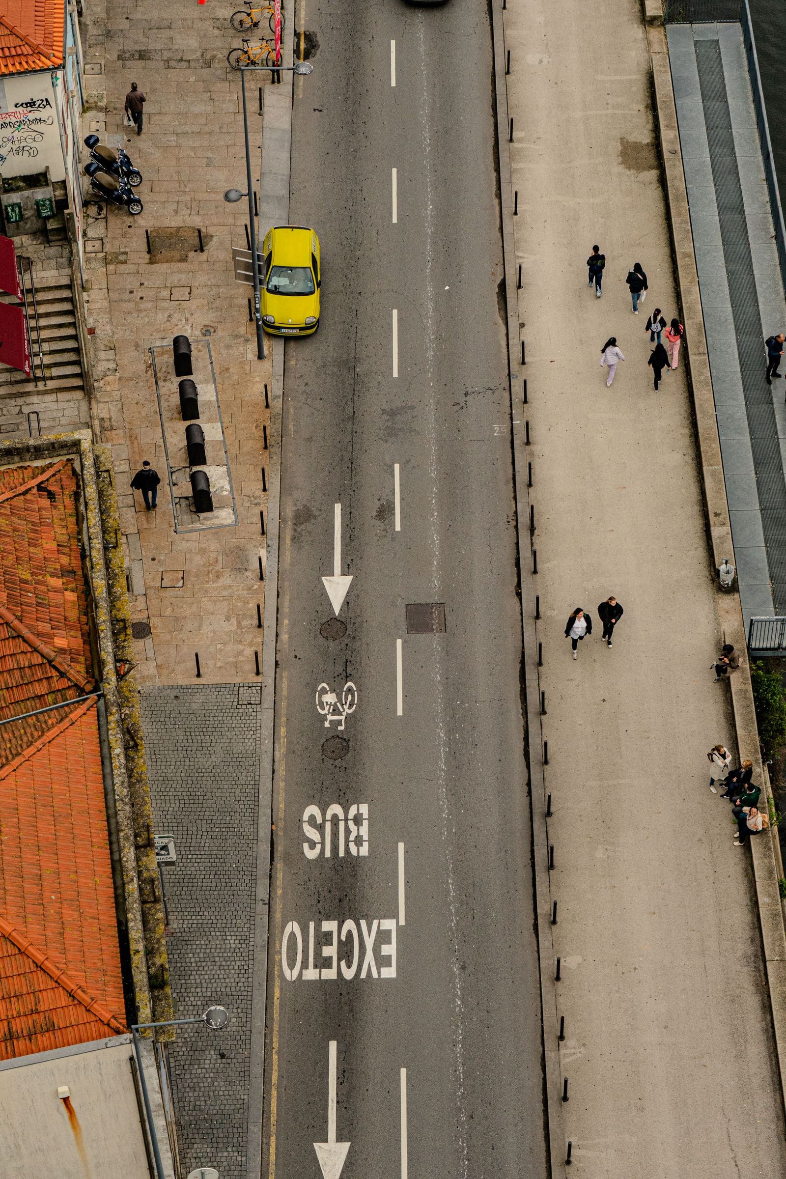
Photo: Uiliam Nörnberg / Pexels
Interactive tool
How Fresh Is It: The Layer-by-Layer Checklist
Check off each step as you finish it. Your progress stays on this page.
0 of 6 complete
0% done
Layer One: Traffic and Live Conditions, the Continuous Layer
At the top of the stack, freshness is measured in minutes. Traffic flow, closures, incidents, and transit disruptions are computed from live signals: anonymized movement data from phones, road sensors where they exist, and reports from drivers, including through Waze, which Google owns. When a highway closes, the map knows quickly, because thousands of devices just stopped moving on it. This layer is why the map can be simultaneously brand new and years old: the colors are now, the photograph beneath them is whenever. If your question is "will Maps know about today's closure," the answer is almost always yes. If your question is "will Maps show the building that opened last month," you have left the live layer and entered the slow ones below.
Layer Two: Roads, Names, and Places, the Rolling Layer
The map's skeleton, its roads, addresses, business listings, and place details, updates on a rolling basis rather than in releases. Google ingests government and commercial data, processes imagery, and folds in an enormous stream of corrections: business owners editing their own listings, local guides, and the Suggest an edit reports any user can file. A new subdivision's streets can appear within weeks of the data reaching Google, or linger missing for a season; a changed business name can propagate in days once verified. There is no published cadence because there is no batch to cadence: it is a river, not a tide. The practical consequence is that errors in this layer are worth reporting, because reports are one of its actual inputs. A wrong road or a missing address reported through the app genuinely enters the pipeline, which is more than can be said for shouting at the satellite layer.
Layer Three: Satellite Imagery, the Slow Photograph
Here the clock slows to years. Satellite and aerial imagery is bought and captured in campaigns, prioritized by population and change: major cities are recaptured far more often than farmland, and fast-growing suburbs more often than stable countryside. Across the map as a whole, refresh intervals people observe range from under a year in dense urban cores to several years, sometimes much longer, in remote areas. Google does not announce captures per place, and the date you see, where one is shown, is the capture date of the photograph, not a promise about the next one. This is the layer that generates the classic complaints: the pool your neighbor filled in is still there, your own new roof is missing, a demolished building still casts its shadow. Nothing is malfunctioning. You are looking at a photograph from the past, stitched seamlessly against a photograph of the neighboring town taken in a different year. Our companion piece on the Google Maps aerial view explains how to read these images as the dated evidence they are.
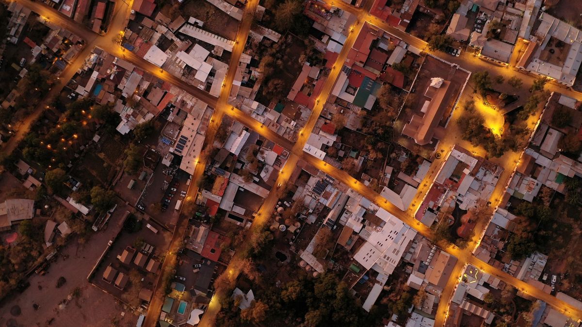
Layer Four: Street View, the Driven Archive
Street View refreshes when a car, trekker, or contributor next passes with a camera, which in practice means busy cities see new passes every year or two while rural roads may wait many years between visits. Google publishes a general list of where its cars plan to drive, at country and region level, without dates you can plan around. The archive quality of this layer is its hidden strength: where multiple passes exist, the interface lets you step back through earlier captures, turning Street View into a time machine for storefronts, renovations, and streetscapes. Our guide to Google Maps historical imagery teaches that time travel in full. For freshness questions, the rule is simple: the date stamp on the image is the truth about that image, and the absence of a newer pass means the car has not been back, full stop.
Why Your Street and a Capital Live in Different Decades
Freshness follows money and movement. Imagery providers capture where customers and change are: dense, wealthy, fast-changing places. Collection cars drive routes that cover the most searched roads first. Correction reports cluster where users cluster. The result is a map whose effective date is a patchwork: a downtown photographed last year, its suburbs two years before that, the farmland beyond older still, all presented in one seamless surface that hides the seams. This is not a conspiracy or a bug; it is what a planetary dataset looks like when capture costs money. It does mean you should calibrate trust by place. In a major city, the map's picture is usually recent enough for everyday questions. In a village, assume the imagery is a historical document and verify anything that matters, a new road, a bridge, a boundary, against a second source or your own eyes.
What You Can and Cannot Speed Up
You cannot order a satellite to retake your street, and any service claiming to refresh Google imagery for a fee is selling fiction. What you can do is real, if modest. Update the app itself, which is a different thing from updating the data and is what our article on Google Maps update covers: store updates deliver new features and fixes, not new photographs. Report errors in the rolling layer, wrong addresses, missing roads, closed businesses, because that layer genuinely consumes reports. Business owners can claim and correct their own listings, the fastest legitimate route to a fix. Contribute Street View imagery of your own where Google accepts it, which can put a current view of an underserved road into the archive. And when the map is wrong in a way that matters legally or financially, treat Google as a lead, not an authority, and go to the primary record: the county, the survey, the agency. The map's freshness problem is structural; your defense is knowing which layer you are trusting.
The Numbers People Quote, and Why to Distrust Them
Search this question and you will find confident figures: satellite imagery updates "every one to three years," Street View "every two years," and so on. Read them as averages of anecdotes, not as schedules. The variance is the story: the same provider that recaptures a capital annually may leave a desert highway untouched for a decade, and both facts fit inside any average. Google's own public statements stay general, describing continuous updating of the dataset as a whole and imagery refresh driven by population and change, and that generality is deliberate. The honest answer to "how often is Google Maps updated" is therefore a stack, not a number: live layers in minutes, the road and place skeleton rolling daily, imagery in years, weighted hard toward cities. Anyone who compresses that stack into one figure has thrown away the only part of the answer that would have helped you judge the map in front of you.
How Updates Reach Your Phone: App, Data, and Downloaded Areas
Three different things travel under the word update, and separating them prevents most confusion. The app update, from the Play Store or App Store, changes the software: features, interface, bug fixes. It contains no new map of your town. The data update happens on Google's servers and streams to you continuously as you pan and search; there is nothing to install, and a streamed road correction can appear the day it is verified. The third is your downloaded offline area, and it is the exception that bites: offline maps are snapshots. They refresh periodically while you are on Wi-Fi, and Google warns that expired offline areas stop working until renewed, but between refreshes your downloaded map is frozen at its snapshot date even as the online map moves on. If your offline area shows a road the online map has already corrected, you are not seeing a contradiction; you are seeing two different vintages of the same dataset, one of them yours. Our guide to how to download offline maps covers managing those areas; the freshness rule is to let them renew on Wi-Fi before any trip that depends on them.
A Two-Minute Freshness Test for Any Place
You can date the map in front of you with a simple drill. First, open Street View at the place and read the capture stamp; that dates the ground layer exactly. Second, find a dated change you know from life: a building finished in a year you remember, a store that closed, a road that opened. If the satellite layer shows it, the imagery is newer than the change; if not, older. Two or three such landmarks bracket the vintage tightly. Third, compare the labels against the photograph: a business the map names but the imagery cannot show yet tells you the rolling layer has outrun the photograph, which is normal. Fourth, for anything consequential, check a second source with a different pipeline, an official county viewer, OpenStreetMap, or a recent local source, because two independent datasets rarely share the same blind spot on the same date. Run this drill once on your own street and the abstract stack from this article becomes a habit: you will never again ask whether "the map" is updated, only which layer, and as of when.
Related Guides
The closest companions to this guide are the map app guides below. Each one picks up a thread this page starts:
- Google Maps Alternatives: The Honest Switch Guide for Drivers, Hikers, and the Privacy Minded: Leaving Google Maps is easy to start and surprisingly specific to finish: what you lose is live traffic and place data, and what you gain depends...
- How to Add Your Home Address to Google Maps (and Work, Change, or Remove It): Setting Home and Work in Google Maps takes a minute and pays you back every day: one-tap directions, commute times on your home screen, and...
- Download Maps Offline in Waze: The Honest Answer and the Workaround That Works: Waze does not offer a true offline map download, and its own help pages say that without an internet connection you cannot locate or navigate a route.
Frequently Asked Questions
How often does Google update satellite imagery?
On a cycle of years that varies sharply by place. Dense cities are recaptured most often, sometimes within a year or two; rural and remote areas can wait many years between captures. Google publishes no schedule and no per-place dates beyond the capture vintage of the image itself, so treat any exact figure quoted elsewhere as an estimate, not a commitment.
Why does Google Maps show my old house or a demolished building?
Because the satellite layer is a photograph from its capture date, not a live feed. If your street was last captured before the change, the map faithfully shows the past. The roads and labels on top may be newer, which is why the map can name a new business while picturing the empty lot it was built on.
Can I request an update for my area?
You can report errors in roads, addresses, and places through Suggest an edit in the app, and those reports feed the rolling data layer. You cannot request new satellite or Street View captures; those follow Google's capture campaigns and driving routes, which prioritize population and change.
How can I tell how old the imagery of a place is?
In Street View, the capture month and year are stamped on the image. For satellite imagery, Google Earth shows capture dates as you move across the map, and comparing the image against known changes on the ground, a building you know was finished in a certain year, brackets the vintage even where no date is displayed.
Is the traffic on Google Maps really live?
Effectively, yes. Traffic flow and incidents are computed continuously from live device movement and driver reports, so closures and jams appear within minutes. That freshness belongs to the traffic layer only; it says nothing about the age of the roads, imagery, or listings underneath it.
Photo credits: Uiliam Nörnberg (Pexels); Pablo G (Pexels). Photos are served from this site; follow the credit to the library page for the original.