Ask for "historical imagery in Google Maps" and you are asking two different questions wearing one coat. One is about the street level photographs Google has taken of the same road over many years. The other is about satellite and aerial views of the same land across time. Maps answers the first question and cannot answer the second, and the confusion between them wastes more searchers' time than any missing feature. This guide draws the line precisely, then works both archives. For the everyday use of Street View itself, panning, moving, and reading the scene, our Street View guide owns that; this article owns Street View's time dimension, and its satellite counterpart across the fence in Google Earth.
Google Maps Historical Imagery: Street View Dates in Maps, Satellite History in Earth

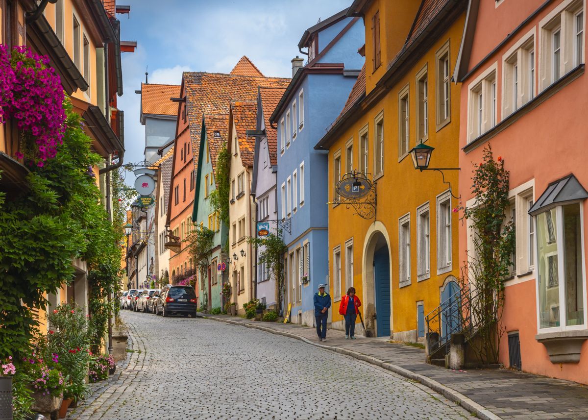
Photo: Joel Gundi / Pexels
Interactive tool
Time Travel in Street View: Dates and Archives
Check off each step as you finish it. Your progress stays on this page.
0 of 6 complete
0% done
The Street View Archive: See More Dates
Street View has been photographing streets since 2007, and in places the cars return to often, the same corner may have been captured a dozen times. Maps keeps those older captures and lets you step through them:
- Open Street View on a street, on desktop or in the app, the way you normally would.
- Look for the date display. On desktop it sits in the corner of the imagery with a See more dates control; in the app, tap the imagery and the capture date appears, with the same See more dates option where older captures exist.
- Choose a date and the scene swaps to that capture: same standpoint or nearly, different year. Buildings rise and fall, shops change hands, trees grow, cars date the scene instantly.
- Step back to the present by choosing the most recent date.
Not every street offers the control. See more dates appears only where Google holds more than one capture of that spot, which means well covered cities and main roads are rich, and rural roads photographed once are not. The absence of the control is itself information: you are looking at the only version of that street Google has.
How Far Back the Archive Goes
Street View launched in 2007 in a handful of United States cities, and the archive in those first photographed places reaches back to that launch era. Coverage expanded city by city and country by country over the following years, so the depth of any given street's archive is a fossil record of the program's expansion: deep in early American cities and major world capitals, shallow or single capture in places the cars reached late or visit rarely. There is no master list of dates per street; the See more dates control is the catalog, and it only ever shows what exists for the spot you are standing on.
The practical uses are better than nostalgia. The archive settles arguments about when a building changed, what a shop used to be, whether a tree or a wall or a parking layout predates a dispute. Researchers use it to date renovations; home buyers use it to see a street across seasons and years rather than on one curated afternoon; journalists use it to verify that a photograph's background matches its claimed year. Treat the capture date as the date of the photograph, shown by the app, and remember it records the month the car passed, not a continuous record: between captures, the street lived unobserved.
The Satellite Archive Is in Google Earth, Not Maps
Here is the split that matters. The satellite view inside Google Maps shows essentially one vintage: the current mosaic. There is no date slider, no archive, no way to ask Maps for the aerial view of a field in 2010. That capability lives in Google Earth, where the historical imagery tool (the clock icon on desktop, and the historical imagery option in the layers and settings of the Earth apps) reveals a time slider for the location on screen. Drag it back and the imagery steps through the available captures, each stamped with its date, reaching back years or decades depending on the place: aerial photography and satellite passes accumulate unevenly, dense over cities, sparse over oceans and remote land, but the depth over populated areas surprises most first time users.
So the rule is simple enough to memorize: ground level history, Maps; overhead history, Earth. If a tutorial tells you to find satellite history inside Maps, it is describing Earth, a third party site, or a feature that does not exist. Knowing which app owns which archive saves the entire search.
What the Earth Time Slider Actually Shows
Earth's historical mode deserves three warnings. First, the slider's dates are capture dates of the imagery tiles under your cursor, and neighboring tiles can come from different passes; a single screen can blend two years across a seam. Check the date with the cursor over the exact feature you care about. Second, resolution varies by era: recent captures are crisp aerial photography in many cities, while older steps back may drop to coarse satellite imagery where individual buildings dissolve. Third, the archive is imagery only, with the labels and roads of the present laid over it unless you turn layers off; a road drawn across a 2005 field is the current map talking, not the photograph.
Used with those warnings, the tool is remarkable for land questions: watching a suburb consume farmland decade by decade, checking when a pond, a clearing, or a structure appeared, dating a roof replacement or a removed tree line. None of that is possible in Maps, and all of it is a slider drag away in Earth.
Why Google Splits the Archives This Way
The split is a product boundary, not a technical limit: Earth is the globe and archive product, Maps is the navigation and local product, and each keeps the features that fit its job. It helps to stop expecting either to absorb the other. Keep both installed, use Maps for the street through time and Earth for the land through time, and you hold the complete historical record Google offers the public. For everything else about getting around in Maps day to day, our main guide to how to use Google Maps covers the present tense, which is where Maps prefers to live.
Using the Archives Like a Researcher
The archives reward a method, and the method is mostly about not trusting a single frame. Date the scene by its contents as well as its label: the newest car model, the business that opened or closed, the construction stage of a known building each bracket the capture independently, and when the contents and the label agree you can lean on the date; when they fight, believe the contents and treat the label as approximate. Compare across the seam: for a land question in Earth, slide the time control with your cursor parked on the exact feature, because the neighboring tile's date is a different fact about a different photograph. Capture your evidence properly: a screenshot for your own notes is fine, but for anything that will be argued over, record the location, the displayed capture date, and the archive you used (Street View in Maps, historical imagery in Earth) alongside the image, because a floating screenshot of an old street proves nothing to anyone who was not in the room. Researchers, insurers, and local historians all learn the same lesson: the archive's power is that it is checkable, and a citation that cannot be rechecked throws that power away.
What Neither Archive Can Do
The limits deserve one clear paragraph. Neither archive is continuous: both are pass by records, a car that drove the street, a satellite that crossed the land, and the years between captures are unobserved no matter how smoothly a slider moves. Neither archive is complete: coverage follows money and population, so rich cities are deep and poor rural areas are shallow in both, and an absent capture is evidence of nothing except absence. And neither archive reaches before its program began: no Street View before 2007 exists to be found, and Earth's older steps dissolve into coarse imagery as they recede. Work inside those limits and the two archives are among the most useful free research tools ever published. Ask them for surveillance they never performed and they will let you fool yourself with total confidence.
Reading a Capture's Own Clues
The date stamp is the start of dating a scene, not the end. Vegetation tells the season: bare trees, leaf color, snow lines, and harvest states narrow an image to a part of the year. Shadows tell the hour and corroborate the season, long shadows for winter and morning or evening, short ones for summer midday. Construction is a calendar in itself: a building's stage in one capture and its completion in the next brackets everything between. Even the archive's own artifacts testify: the camera generation visible in image quality and stitching separates early Street View from recent captures at a glance. None of this replaces the label, but together the clues audit it, and on the rare occasions when label and scene disagree, the scene is the primary source and the label is metadata about it. Reading a historical image well means treating it the way historians treat a photograph: as evidence that speaks, not as an illustration of its caption.
Two Archives, One Habit
The through line of this article is a division of labor worth memorizing: Street View's clock archive for the street level past, Earth's time slider for the land's past, each entered from the surface where its question lives. Underneath both sits the same discipline: read the capture date, distrust the seams, audit the scene against its label, and record what you found so someone else can check it. The historical record of the early twenty first century is being written accidentally, by camera cars and satellites doing other jobs, and these two archives are its reading room. Learn the room's rules and it will answer questions that no living witness remembers the answers to.
Related Guides
If this page answered part of the question, these map app guides cover the rest of the same ground:
- How to Look at Older Images on Google Maps: Street View Dates, Step by Step: Google Maps quietly keeps the old photographs.
- Google Maps Timeline: How the On-Device History Works Now: Google Maps Timeline changed fundamentally in 2024.
- Google Maps Flight Simulator: It Lives in Google Earth Pro, and Here Is How to Fly It: There is no flight simulator inside Google Maps, which is why looking for one there always fails.
Frequently Asked Questions
How do I see old Street View images in Google Maps?
Open Street View on the street and look for the capture date with a See more dates control, in the corner on desktop or by tapping the imagery in the app. Choose an earlier date and the scene swaps to that capture. The control only appears where Google holds multiple captures of that spot; a single capture street has no dates to show.
How far back does Street View history go?
Street View began in 2007 in its first photographed cities, and the archive in those places reaches back to that era. Most streets have shallower archives that start whenever the cars first covered them and deepen with each revisit. The See more dates control for a specific spot is the only reliable catalog of what exists there.
Can I see historical satellite imagery in Google Maps?
No. The satellite layer in Maps shows the current mosaic with no date controls. Historical satellite and aerial imagery lives in Google Earth, where the historical imagery tool provides a time slider per location, with capture dates that can reach back years or decades over populated areas.
Why does the time slider in Google Earth show different dates in different places?
Because the archive is a patchwork of captures. Earth stitches aerial and satellite photography from many passes, and each tile carries its own date. The slider reports the date of the imagery under your cursor, and adjacent areas can come from different years, especially at the seams between a recent city survey and older surrounding coverage.
Is the date on Street View imagery reliable?
The displayed date is the month and year the capture was made, and it is the right anchor for dating what the photograph shows. Remember it is a pass by record, not continuous monitoring: the archive proves what a street looked like when the car passed, and says nothing about the months between captures.
Photo credits: Joel Gundi (Pexels); Sergey Guk (Pexels). Photos are served from this site; follow the credit to the library page for the original.