Every few months someone goes hunting for the flight simulator in Google Maps, clicks through every menu, and concludes it was removed. It was never there. The flight simulator belongs to Google Earth, specifically to Google Earth Pro, the free desktop application, where it has lived for years under the Tools menu. That confusion is understandable: Earth and Maps share imagery, a name, and a company, and the simulator is exactly the kind of delightful extra people expect Maps to hide. Once you know the right door, the rest is simple. Google Earth Pro costs nothing, installs on Windows and Mac, and its simulator turns the whole planet into a flying field with two aircraft, real airports as starting points, and a control scheme you can learn from one table. This guide takes you from installation to a first flight that ends with the gear down and the plane intact.
Google Maps Flight Simulator: It Lives in Google Earth Pro, and Here Is How to Fly It
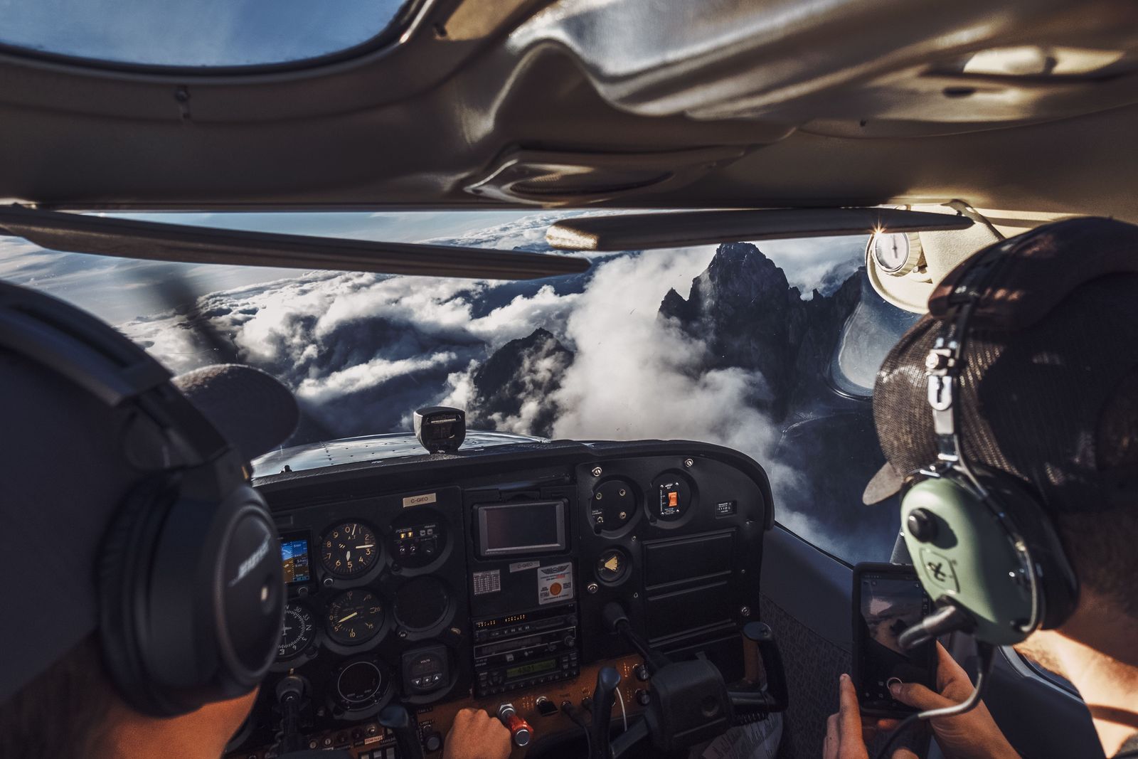
Photo: Rhys Abel / Pexels
Before You Take Off: The Simulator Checklist
Check off each step as you finish it. Your progress stays on this page.
0 of 7 complete
0% done
Where the Simulator Actually Lives
Download Google Earth Pro for desktop from Google and install it; the simulator is a desktop feature, not a website feature. Open the program, let the globe load, and open the Tools menu. The entry reads Enter Flight Simulator. The keyboard shortcut is Ctrl+Alt+A on Windows and Cmd+Option+A on a Mac. Either route opens the simulator dialog, which asks you the only two questions that matter before a first flight: which aircraft, and where to start. Everything else, controls, view, joystick, can be adjusted once you are airborne, and most of it is best learned in the air at altitude, where mistakes are cheap.
Know what you are flying over. The simulator uses Earth's own imagery and terrain, so the ground below you is the real place, with real runways where real airports are. Start above somewhere you know and the first flight becomes a sightseeing trip over your own geography, which is a far better teacher than an unfamiliar desert.
Choose Your Aircraft and Your Starting Point
The dialog offers two aircraft, and they are opposite temperaments. The SR22 is a light propeller plane: slow, forgiving, stable, and the right choice for a first flight and for sightseeing, because at its speeds the ground unfolds slowly enough to recognize. The F-16 is a fighter jet: extremely fast and extremely responsive, a machine that crosses a city while you are reading the next sentence of this guide. Pick the F-16 second, when the controls are already in your hands, and pick it over country you want to cross quickly rather than study.
For the start, the dialog offers your current view or a list of airports. Current view drops you in the air wherever the globe was looking, at altitude, already flying, which is the gentlest possible beginning. An airport start puts you on a runway, on the ground, where you must take off properly: full thrust, build speed, and lift the nose at the right moment. Do your first flight from current view. Do your second from an airport, once you know which keys do what, because a runway takeoff in the SR22 is one of the small satisfactions this program gives away free.
The Controls, in One Table
The simulator is flown with the keyboard, and the full working set fits in one table. Print it or keep this page open beside the program for your first flights.
| Key | What it does |
|---|---|
| Page Up | Increase thrust |
| Page Down | Decrease thrust |
| Up and Down arrows | Pitch the nose down and up |
| Left and Right arrows | Roll and turn |
| G | Raise and lower the landing gear |
| Space | Pause and resume |
| Esc | Exit the simulator |
Two of these deserve a warning. The arrow keys work the way a pilot's stick does, which means the Up arrow pushes the nose down and the Down arrow pulls it up; every new flyer dives once because of this, and now you have been told. And thrust is not speed: Page Up spins the engine up, and the aircraft accelerates on its own schedule, so plan climbs and approaches ahead of the plane instead of chasing them. If you have a joystick, the simulator can use it; enable it in the dialog before you start. The mouse can also steer when clicked into the view, but the keyboard is the reliable teacher.
Your First Flight, Step by Step
Open Google Earth Pro and fly the globe to somewhere you know well, your home region from a few thousand meters up. Enter the simulator, choose the SR22, and start from the current view. You are airborne, level, at modest speed. Hold Page Up briefly to add thrust, then leave the throttle alone. Make your first turn with a short tap of a Left or Right arrow, then tap the opposite arrow to level the wings; the plane keeps turning while the wings are banked, so think in taps, not holds. Climb and descend with gentle arrow taps and watch the head-up display, which shows your speed, altitude, and heading overlaid on the world.
When the ground starts to bore you, press G out of curiosity only if you are practicing an approach; gear is for landing, and landing is the final exam. To land: pick a runway, line up from far out, reduce thrust with Page Down until the plane settles into a gentle descent, lower the gear with G, and flare, a small Down arrow pull, just before the wheels meet the runway, then cut thrust entirely. You will bounce, veer, or crash the first time; everyone does. Esc exits, and the simulator forgives everything. What you are really learning is not aviation, it is that the Earth in this program is a place you can move through at any speed and any height, and that changes how you use it for everything else, from planning a hike to previewing a road trip through mountains you have never driven.
Sightseeing: Where to Point the SR22
The simulator's real gift is not the flying; it is the Earth, seen at flying height and flying speed, over ground you choose. Spend your first sightseeing hour where terrain does the showing off. Fly a great river and follow its bends the way the water does, at an altitude where the valley reads as a valley. Cross a mountain range perpendicular to its grain and watch the ridgelines stack. Circle your own town until you find your street from the air, an experience that permanently changes how the flat map reads afterward. Coastlines reward slow flight in the SR22: harbors, barrier islands, and deltas are shapes that only make sense from above. And when you graduate to the F-16, use it as the cross-country machine it is: pick a famous natural feature a few hundred miles away, climb, and watch whole states unroll beneath you at a speed no airliner window has ever offered. The simulator has no fuel, no weather, and no consequences, which makes it the cheapest flight school on Earth and, not incidentally, a remarkable way to preview the geography of a real trip before you drive it.
The Web Version Question, Answered Honestly
One complication deserves plain words. Most documentation and years of use place the flight simulator in the desktop Google Earth Pro, exactly as described above, and that is the version this guide teaches because it is the one that verifiably exists on your computer the moment you install the program. However, newer Google documentation for the web version of Google Earth describes an experimental flight simulator feature there as well, and its described details do not fully match the desktop controls in this guide. Where sources conflict, this site prints neither side as settled fact, so here is the honest position: the desktop Pro simulator is documented, stable, and testable today; the web feature is described as experimental and pre-release, and its controls should be treated as provisional until they can be verified in the product itself. If flying is what you came for, install Earth Pro and fly the known thing.
That note aside, the Maps side of the family still earns its place in a flyer's toolkit. Planning the real-world version of a route, finding the airport, the road in, the parking, is Google Maps work, and Earth itself rewards the same curiosity on the ground that the simulator rewards in the air.
When It Feels Broken
Three complaints account for nearly every bad first session. The plane only dives or only climbs: that is the reversed-feeling arrow keys, stick logic, and it resolves the moment you think of the arrows as the top of a control stick rather than as directions on a map. The plane will not respond at all: click into the Earth window so it has keyboard focus, because the simulator only hears keys sent to the program. The view is wrong: the simulator offers cockpit-style views and a head-up display you can toggle, and resetting by exiting with Esc and re-entering from a fresh current view cures most disorientation. Finally, if the program itself feels heavy, remember Earth Pro renders real terrain and imagery as you fly; a fast region at low altitude is the most demanding thing you can ask of it, and climbing higher is both the pilot's answer and the programmer's.
Related Guides
Readers working through this topic usually need its closest companions too. These map app guides cover the neighboring ground:
- Google Maps for Boats: What It Can and Cannot Do on the Water: Google Maps has no boat mode, and the reasons are matters of safety, not missing features: it carries no depth soundings, no channel markers or...
- Google Maps Historical Imagery: Street View Dates in Maps, Satellite History in Earth: Google Maps does hold historical imagery, but only one kind: past Street View photography, reachable through the See more dates control, with an...
- Google Maps Timeline: How the On-Device History Works Now: Google Maps Timeline changed fundamentally in 2024.
Frequently Asked Questions
Is there a flight simulator in Google Maps?
No. Google Maps has no flight simulator. The simulator is a feature of Google Earth Pro, the free desktop program, under Tools, Enter Flight Simulator, or Ctrl+Alt+A (Cmd+Option+A on a Mac). The confusion is common because Maps and Earth share imagery and branding.
What planes can you fly in the Google Earth flight simulator?
Two: the SR22, a light propeller aircraft that is slow, stable, and ideal for learning and sightseeing, and the F-16, a fighter jet that is very fast and very responsive. Start with the SR22 from your current view; try the F-16 once the controls feel natural.
How do you take off and land in the simulator?
Start from an airport to begin on a runway. Increase thrust with Page Up, let speed build, then pull the nose up gently with the Down arrow. To land, line up early, reduce thrust with Page Down, lower the gear with G, and flare slightly just before touchdown, then cut thrust. Expect the first attempts to end badly; Esc always lets you walk away.
Can I use a joystick with the Google Earth flight simulator?
Yes. The simulator supports a joystick, which you enable in the simulator dialog before starting the flight. The keyboard remains fully usable alongside it, and the key table in this guide, thrust on Page Up and Page Down, pitch and roll on the arrows, gear on G, still applies.
Is Google Earth Pro free?
Yes. Google Earth Pro for desktop is a free download from Google for Windows and Mac, and the flight simulator is included in it. That is the version this guide teaches; a flight simulator for the web version of Earth has been described in newer documentation as experimental, and its details differ, so treat web claims as provisional.
Photo credits: Rhys Abel (Pexels); Levent Simsek (Pexels). Photos are served from this site; follow the credit to the library page for the original.