Every season, somebody tries to navigate a boat the way they navigate a car, phone in a waterproof pouch, Google Maps open, blue line expected. There is no blue line. Google Maps has no boating mode, no route engine for water, and no intention of being a chartplotter, and understanding exactly where its competence ends is a genuine safety skill, because the water is the one environment where a consumer map's omissions can put you aground. This guide is the honest split: what Google Maps cannot show you and why those things matter, what it is legitimately good for in a boater's workflow, and the tools, official charts and the apps built on them, that own the navigation half of the job.
Google Maps for Boats: What It Can and Cannot Do on the Water
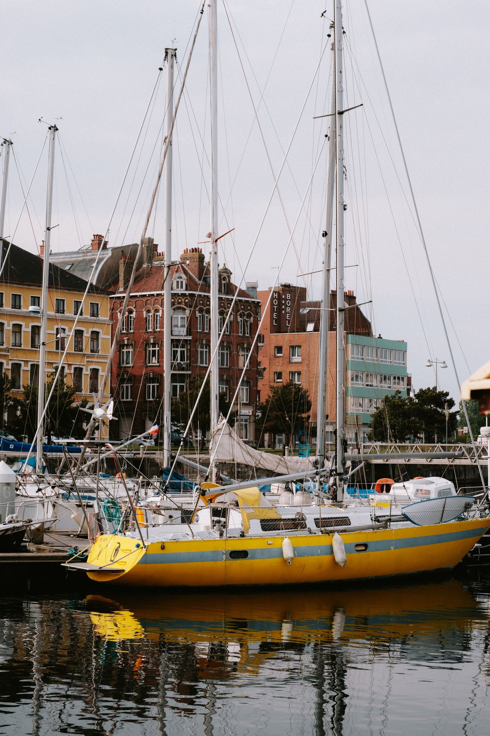
Photo: Mathias Reding / Pexels
Interactive tool
Charts on the Water, Maps Ashore: The Boating Checklist
Check off each step as you finish it. Your progress stays on this page.
0 of 8 complete
0% done
The Short Answer: There Is No Boat Mode
Google Maps offers driving, transit, walking, and cycling. Water is not on the list, and directions across a lake or bay simply refuse or route you around by road. That refusal is the app being honest. Marine navigation rests on a different kind of map, the nautical chart, which encodes the invisible: water depth, the position and meaning of every buoy and beacon, prohibited areas, cables, wrecks, and tidal behavior. Google Maps encodes none of it. Its water is a flat blue shape with a shoreline, drawn for orientation on land. Treating that shape as navigable water is the foundational mistake, and everything else in this guide follows from it.
What Google Maps Cannot Show You
Four absences matter most. First, depth: Google Maps publishes no soundings, no depth contours, nothing about what is under your keel, and shoals shift with storms and seasons in ways only surveyed charts and local knowledge track. Second, aids to navigation: the buoys, daymarks, and channel markers that form the road system of the water are absent or incidental, and their color and numbering system, which tells you which side to pass on, is simply not in the data model. Third, tides and currents: rise, fall, and flow change which water is deep enough and which route is safe by the hour, and Google Maps models none of it. Fourth, chart-grade shoreline and hazards: rocks, wrecks, restricted zones, and overhead clearances at bridges are chart data, not map data. The satellite view deserves its own warning: it can look like local knowledge, a visible sandbar, a channel's green thread, but imagery has an unknown date, water hides its depth in photographs, and a channel that photographed well two summers ago may have silted since. Use satellite imagery to orient, never to certify.
What It Is Genuinely Good For
Ashore and alongside, Google Maps earns its place in a boater's phone. Finding and vetting the shore side of a trip is its home turf: marinas with reviews and phone numbers, fuel docks, launch ramps, chandleries, the restaurant at the harbor, parking at the ramp, and the drive to all of them. Its measuring tool gives quick straight-line distances for planning legs and sanity-checking a day's run, the same technique our distance measurement guide uses on land. Saved places organize a cruising ground well: anchorages you have vetted in real charting tools, ports, and services can live as pins for planning conversations, as long as everyone understands the pins are notes, not navigation. Street View and photos of a harbor entrance, taken from land, can help you recognize a place on arrival. And for the trailer half of boating, it is simply the best tool in the kit: ramps, routes that suit a trailer, and the logistics around the water are road problems, and road problems are what it solves.
The Tools Built for Water
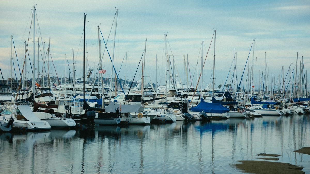
Navigation belongs to charts, and in most countries the authoritative charts come from the national hydrographic office: in the United States, NOAA's charts are the official record, published as paper, PDF, and electronic chart data. On top of that data sits the app layer boaters actually steer by. Navionics Boating is the best-known chartplotter app, pairing official chart data with depth shading, dock-to-dock routing for water, and community updates. C-MAP serves the same role in many regions with its own cartography. Newer apps such as savvy navvy and Wavve Boating compete on simpler interfaces and routing, and Argo Nav is another phone-first entrant; all of them share the essential property Google Maps lacks: they are built on chart data with depths and aids to navigation, and they say so. Dedicated chartplotters from the marine electronics makers remain the standard at the helm of larger boats, with phones and tablets as planning screens and backups. Whichever stack you choose, the discipline is the same: charts updated, a route planned against depths and markers, and a second source, paper, a second app, or local knowledge, for the places where being wrong is expensive.
A Safe Workflow That Uses Both
The practical synthesis most small-boat skippers settle into looks like this. Plan the trip ashore in Google Maps: the drive, the ramp, the marina, the provisions, the weather window from a proper marine forecast. Build the on-water route in a charting app, checking depths against your draft, noting the aids to navigation you expect to see in order, and saving the route for offline use, since water and cell coverage part company quickly; our guide to offline maps covers the download discipline, and it applies to chart apps exactly as to road apps. On the water, navigate by the charting tool and the marks themselves, and let Google Maps do the one mid-trip job it is good at: finding the nearest services once you are tied up. Afterward, your track lives in the charting app as the record that matters. Google Maps is the best concierge a boater carries. It is just not a chart, and the whole of safe small-boat navigation is remembering which of those two things you are holding at any moment.
The Mistakes That Ground Boats
The failure stories repeat with instructive regularity, and naming them is the best vaccine. The first is the shoreline shortcut: a driver of boats cuts across a bay's corner because the map shows open blue, and finds the shoal the chart would have drawn, because blue on a consumer map means water exists, not that water is deep. The second is the aged satellite read: a channel entrance scoped on imagery from a calm summer two years ago, navigated confidently after a winter of storms rearranged the bar. The third is the pin drop fallacy: a friend shares a Google pin for "the anchorage," the pin lands in the right cove, and the approach, the only part that can hurt you, crosses a reef flat the pin says nothing about; pins mark destinations, charts govern approaches. The fourth is the borrowed route: following a track recorded by a deeper or shallower boat, in another tide, as if a line on a screen were a promise. Underneath all four sits the same category error, treating a land map's authority as transferable to an environment it never surveyed. The charting tools exist precisely because the water demands surveyed depth, maintained marks, and corrections issued as conditions change. A skipper does not need to be precious about this: plan the barbecue in Google Maps, by all means. But the moment the keel leaves the dock, the chart is the map, and the phone's other app is a very good phone book.
Kayaks, Charters, and Other Edge Cases
The boundary this guide draws shifts slightly with the boat, and the edge cases deserve their own word. Paddlers and dinghy sailors in sheltered water often navigate by shoreline and eye, and for them a phone map's real contribution is the trip's frame: launch points, take-outs, distances between them, and the drive shuttle, all land jobs it does well, while the on-water need is mostly a downloaded chart extract of one bay rather than a full chartplotter stack. Charterers inherit the boat's own plotter and its charts, and the discipline there is verification: check the plotter's chart vintage during the briefing, and let your phone's charting app, not its consumer map, be the second opinion. Delivery skippers and racers live at the opposite pole, where charts, updates, and redundant systems are professional obligations and Google Maps' role shrinks to logistics ashore. The pattern across all three is the same one this article began with, stated as a ratio: the more your safety depends on what is under the water rather than beside it, the more completely the chart owns the navigation and the concierge owns the rest. Know which boat you are in, and the division of labor sets itself.
Related Guides
This guide does not stand alone. The map app guides below take up the questions it leads into:
- Google Maps: How to Scan a QR Code (and How to Make One for Your Location): Google Maps has no QR scanner built in, and it does not need one.
- How to Blur Your House on Google Maps: What It Hides, What It Never Will, and How to File the Request: Blurring your house on Google Maps is permanent, takes minutes to request, and covers far less than most people assume: Street View only, never...
- How to Change the Car Icon in Google Maps: Swap the Blue Arrow for a Vehicle: The Google Maps car icon is changed from inside an active navigation session, not from the app's Settings menus: start a route, tap the blue arrow...
- How to Measure Area in Google Maps: Close the Shape, Read the Land: Google Maps can measure the area of a field, a roof, or a plot of land, but only in one place: on a computer, where closing a measured shape turns...
- How to Report a Road Closure on Google Maps: In Navigation, in Crisis, and for Good: Reporting a road closure on Google Maps is three different jobs wearing one name: an incident report filed from inside navigation for the closure...
- Google Maps Speed Limit: The Two Switches, the Rollout, and Why the Posted Sign Wins: Google Maps can show the speed limit of the road you are on and your current speed beside it, but only while you are navigating, and only where...
Frequently Asked Questions
Can Google Maps give directions for boats?
No. Google Maps has no boating mode and will not route across water. It has no depth data, no buoys or channel markers, and no tide information, which are the foundations of marine navigation. Use a charting app built on official nautical charts instead.
Is Google Maps satellite view safe for finding channels?
No. Satellite imagery can orient you and sometimes shows sandbars or a channel's color, but it has no depth information, an unknown capture date, and shoals move. Channels belong to surveyed charts and the physical aids to navigation in front of you.
What should I use instead of Google Maps on a boat?
Official nautical charts, from NOAA in US waters or your national hydrographic office elsewhere, viewed in a marine charting app such as Navionics, C-MAP, savvy navvy, Wavve Boating, or Argo Nav, or on a dedicated chartplotter. These carry depths, markers, and hazards that consumer maps omit.
What is Google Maps actually useful for in boating?
Everything ashore: finding marinas, ramps, fuel docks, and services, reading reviews, planning the drive to the water, measuring rough distances, and organizing places. It is a planning and logistics tool for boaters, not a navigation tool.
Can I download Google Maps for offshore use?
You can download areas for the shore-side jobs, but no download adds chart data or a boat mode. For the water itself, download your charts inside the marine app before leaving coverage, and keep a second source aboard.
Photo credits: Mathias Reding (Pexels); Athena Sandrini (Pexels). Photos are served from this site; follow the credit to the library page for the original.