If your passenger's phone shows a little speed limit badge in Google Maps and yours does not, you have not missed a hidden menu. You are looking at one of the most unevenly rolled out features in the app: a pair of readouts that depend on your platform, your country, whether a trip is actually running, and two separate settings switches that many drivers never find. This article is only about those speed readouts. If your problem is the blue dot itself wandering or sitting on the wrong street, that is a signal issue, and our guide to Google Maps GPS accuracy owns it. Here we stay inside the navigation screen, where the numbers live.
Google Maps Speed Limit: The Two Switches, the Rollout, and Why the Posted Sign Wins
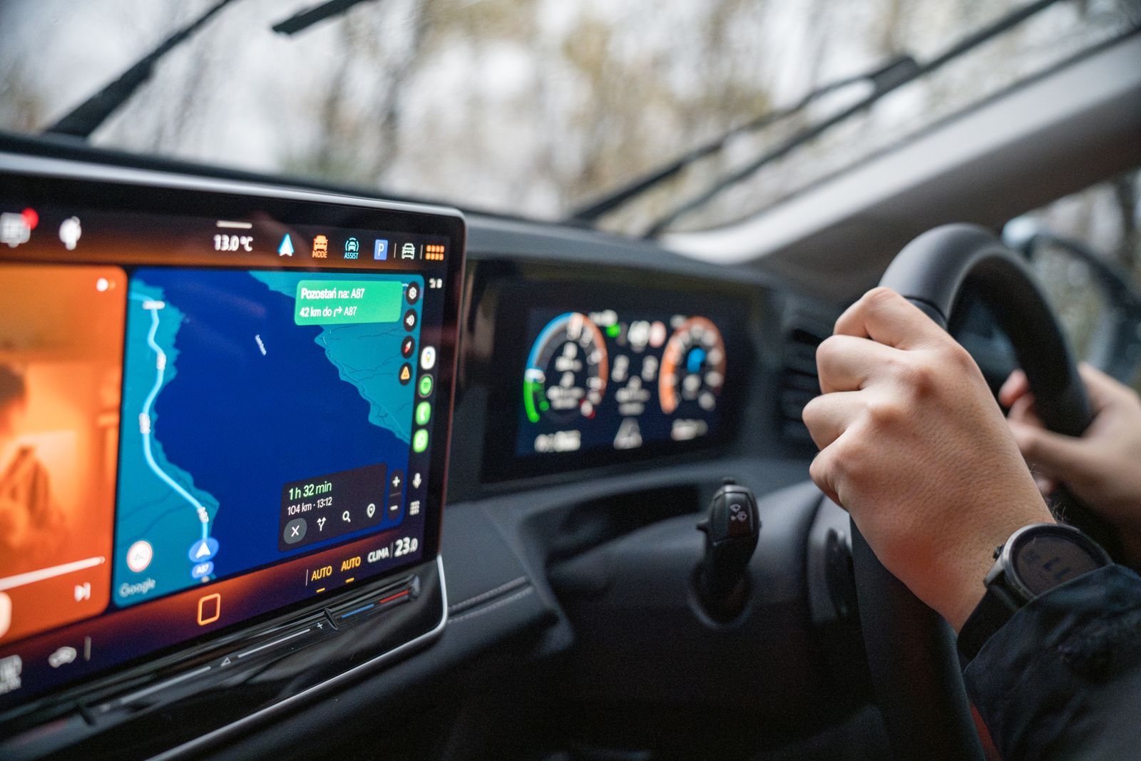
Photo: Michał Robak / Pexels
Interactive tool
Two Switches, One Display: Speed Readouts in Order
Check off each step as you finish it. Your progress stays on this page.
0 of 6 complete
0% done
The Two Switches: Speed Limits and Speedometer Are Separate Features
Open Google Maps, tap your profile picture, then Settings, then Navigation settings, and scroll to the driving options. Two switches sit there, and they do different jobs:
- Speed limits. When this is on and you are navigating in a supported area, Maps shows the posted limit for the road segment you are currently on, in a small badge at the corner of the navigation screen.
- Speedometer. When this is on, Maps shows your current speed, computed from your GPS movement, next to the limit badge. On Android, the speedometer readout changes color when you pass the limit, which is the closest thing the app has to a speeding warning.
Drivers routinely turn on one and expect the other. The switches are independent: the limit badge can appear with no speedometer beside it, and the speedometer can run on roads where Google has no limit data, showing your speed alone. If a screenshot online shows both numbers and your screen shows one, the second switch is the first thing to check.
Nothing Shows Until a Trip Is Running
The most common reason the speed limit "does not work" is that it only exists inside active navigation. Browse the map, preview a route, or scroll through directions without tapping Start, and neither readout appears, on any platform, in any country. The badge is a navigation element, not a map element. Start guidance to a destination, drive onto a mapped road, and the badge fades in once Maps has matched you to a segment it has limit data for. It can also vanish on segments where the data runs out, such as some minor roads, private roads, and newly built streets, then return when you rejoin a covered road. A badge that comes and goes is showing you the edge of Google's data, not a fault in your phone.
The Rollout Puzzle: Why One Car Shows It and Another Does Not
The speedometer is the feature with the strange biography. Android users had it from 2019 onward in supported regions. iPhone and CarPlay users waited years longer: Google brought the speedometer and wider speed limit display to iOS and CarPlay in July 2024, rolling out globally over the following weeks. That single fact explains most of the confusion in older forum threads, where iPhone owners were told the feature did not exist while Android owners posted screenshots of it. Advice written before mid 2024 about iPhone speed readouts is simply out of date.
Region matters as much as platform. Speed limit data is licensed and assembled country by country, and Google enables the display only where it trusts the coverage. Two identical phones on the same app version can behave differently across a border. There is no switch that forces the badge on in an unsupported region, and sideloading or changing your account country does not conjure data Google has not published for that road network.
Where the Limit Number Comes From, and Why It Can Be Wrong
The badge is not reading signs. Your camera is not involved, and the phone is not recognizing anything through the windshield. The number is an attribute of the road segment in Google's map database, attached to the stretch of road the way a road name or a one way flag is attached. That has three practical consequences:
- It lags reality. When a council lowers a limit, a school zone changes its hours, or a construction zone posts a temporary limit, the database learns about it later, if at all. Temporary and time based limits are the weakest part of the data.
- It can be wrong on specific segments. Data errors exist: a segment tagged with the limit of the road it crosses, a divided highway carrying the frontage road's limit, a limit that changed during a road rebuild.
- It does not know context. Weather limits, variable motorway limits shown on gantries, and limits that apply only to certain vehicle classes are outside what a single badge can express.
Treat the badge as a helpful second opinion with a known failure mode: it is a database lookup, delivered confidently, about a physical sign it has never seen.
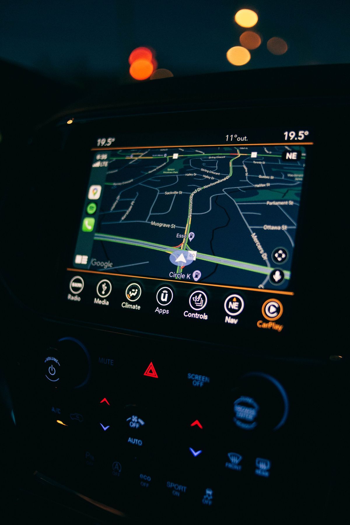
The Posted Sign Rule
Google's own help text states the rule plainly: the speed limit feature is for informational purposes only, and you should make sure you follow the speed limits posted on the road itself. That is not legal boilerplate to skim past. It is the correct mental model. The sign at the roadside is the law, the current truth, and the thing a traffic stop will be about. The badge is a memory of what the limit was when the database was built. When the two disagree, the sign wins every time, and the disagreement itself is useful information: it tells you the segment data is stale, so trust the badge less for the rest of that road.
There is a second, quieter reason to keep the sign primary. The speedometer half of the display is GPS derived, and GPS speed is an average over recent movement. It lags under hard acceleration and braking and can jitter in tunnels, underpasses, and dense city centers where the position fix degrades. Your car's own speedometer, for all its deliberate small overread built in by manufacturers, responds instantly. Use the Maps speedometer as a cross check on a long steady cruise, not as the number you steer by in traffic.
A Troubleshooting Pass, in the Order That Fixes Things
When the readouts are missing, work through this order before assuming your region is unsupported:
- Start a real trip. Preview mode shows nothing. Navigate somewhere.
- Open Navigation settings and check both switches. Updates and phone changes have been known to leave one off.
- Update the app. The iOS and CarPlay rollout rode on app versions; an old build on an iPhone explains a missing speedometer by itself.
- Drive a covered road. Test on a main road, not a side street or a new estate, before concluding anything.
- Accept the regional answer. If the switches are on, the app is current, a trip is running, and a main road still shows nothing, you are most likely outside the data coverage, and no setting will change that.
Reading the Display While You Drive
Placement is consistent once you know where to look. On a phone in portrait, the badge sits at the lower corner of the navigation screen, near the remaining time and distance, and the speedometer appears as a round readout beside it when both are enabled. On CarPlay and Android Auto the same pair moves with the dashboard layout, usually to a corner of the map panel. The limit badge shows the number inside a small sign shaped frame that mimics a road sign, which is a deliberate design choice: it is styled as a reminder of the real sign, not as a control.
Two display behaviors confuse new users. First, the badge sometimes appears in a muted style at the start of a trip before you reach the first covered segment; that is the app holding a placeholder state rather than showing a limit for the street you are parked on. Second, on roads where Google holds a limit for one direction only, or where a divided road's two carriageways carry different data quality, the badge can drop out at junctions and return a few seconds later. Both behaviors are data artifacts. Neither means the feature has crashed, and neither is fixed by restarting the app mid drive, which is a distraction you do not need. If the readout matters to you on a particular route, glance at it on the straights and let it go in the junctions.
Trucks, towing drivers, and anyone driving a vehicle class with its own lower legal limit should treat the badge as the car limit, because that is what the database stores: one number per segment, aimed at ordinary cars. Your legal limit when towing or in a heavy vehicle may be lower than the badge on exactly the roads where the difference matters most, such as motorways and dual carriageways. The posted sign rule has a companion rule for you: know your class limit before the trip, because the app will not volunteer it.
How This Fits With the Rest of Maps
The speed readouts are one layer of the driving experience, and they assume the basics underneath are working: a solid position fix, a route you trust, and the general navigation habits covered in our main guide to how to use Google Maps. Get those right first. Then the two switches in Navigation settings stop being a mystery and become what they were designed to be: a small, occasionally wrong, usually handy pair of numbers in the corner of the screen, with the posted sign still doing the real work.
Related Guides
This guide does not stand alone. The map app guides below take up the questions it leads into:
- How to Change the Car Icon in Google Maps: Swap the Blue Arrow for a Vehicle: The Google Maps car icon is changed from inside an active navigation session, not from the app's Settings menus: start a route, tap the blue arrow...
- How to See How Busy a Place Is on Google Maps: Popular Times, Live Bars, and Waits: Google Maps keeps a crowd diary for millions of places: a chart of how busy each one usually is, hour by hour and day by day, plus a live bar...
- Google Maps Saved Places: Favorites, Want to Go, Starred, and Your Own Lists: Saving a place in Google Maps is one tap, but where the place lands decides whether you ever find it again.
- How to View Traffic in Google Maps: The Live Colors, Typical Traffic, and Reading a Route Before You Drive: the other live layer on the driving map
Frequently Asked Questions
Why does Google Maps show my speed but not the speed limit?
Because the two readouts are separate features with separate switches and separate data. The speedometer needs only your GPS movement, so it works almost everywhere. The limit badge needs Google to hold limit data for the exact road segment you are on, and coverage varies by country and by road class. Check that the Speed limits switch is on in Navigation settings, and test on a main road while a trip is running.
Why does the speed limit only appear when I am navigating?
The badge is part of the navigation interface, not the browsing map. Route previews, directions lists, and free scrolling show no limit and no speedometer on any platform. Tap Start, begin driving, and the readouts appear once Maps matches you to a covered segment.
My friend's iPhone shows a speedometer but mine does not. Why?
The speedometer reached iPhone and CarPlay in July 2024, years after Android. An out of date app version is the usual cause on iOS: update Google Maps, then confirm the Speedometer switch is on under Settings, Navigation settings. If both are current and it still never appears, regional availability is the remaining explanation.
What should I do when the badge disagrees with a road sign?
Follow the sign. Google describes the in app limit as informational only, and the badge is a database value that can lag limit changes, miss temporary construction limits, and carry segment errors. The posted sign is the enforceable limit and the current one.
Can Google Maps warn me when I exceed the limit?
On Android, the speedometer readout changes color when your GPS speed passes the displayed limit, which acts as a visual nudge. There is no built in spoken speeding alert in Google Maps itself. Remember the speedometer is GPS averaged and can lag during acceleration, so treat the color change as a prompt to check your dashboard, not as a precise trigger.
Photo credits: Michał Robak (Pexels); Erik Mclean (Pexels). Photos are served from this site; follow the credit to the library page for the original.