Plenty of people open Google Maps, find the measure tool, click around their land, and wait for an area that never appears. The feature is real, but it hides behind one gesture most people never try: on a computer, when your clicked points form a closed shape, the readout quietly adds a total area next to the distance. Miss the closing click and you get a perimeter with no inside. This guide teaches the desktop routine exactly, shows a worked example with the unit conversions done for you, explains why the phone app cannot do the same trick, and gives you the Google Earth route that fills the gap on mobile. It also draws the honest line every measurement article should draw: a clicked outline is a planning estimate, not a survey.
How to Measure Area in Google Maps: Close the Shape, Read the Land
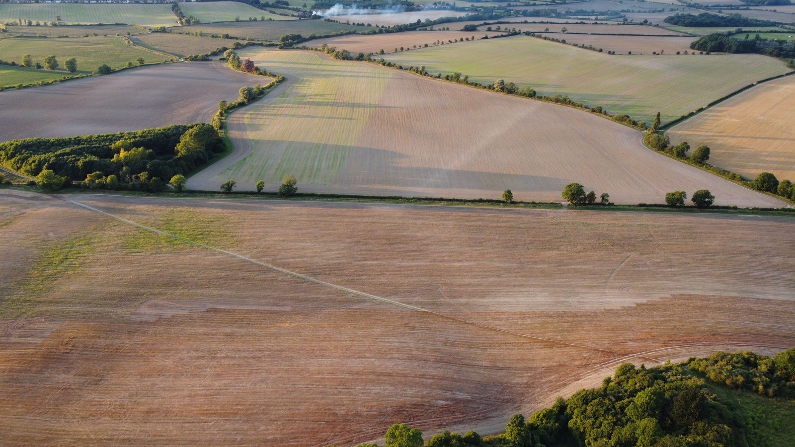
Photo: Altaf Shah / Pexels
Interactive tool
Measure the Area: The Close-the-Shape Routine
Check off each step as you finish it. Your progress stays on this page.
0 of 8 complete
0% done
On a Computer: Close the Shape and the Area Appears
Open Google Maps in a desktop browser and zoom in close on the land you want to measure; area work rewards the closest zoom at which the whole plot still fits the screen, because every misplaced click is real square meters. Right-click on the map and choose Measure distance. A white circle appears at your starting point. Now click each corner of the plot in order, walking the boundary the way you would walk a fence line. Small white circles mark every point, and the black readout box at the bottom shows the running distance along your line. The decisive step comes last: click the very first point again to close the shape. The moment the shape closes, the readout changes its mind about what it is showing and adds the total area of the enclosed land, in square feet or square meters depending on your region, alongside the total perimeter distance. Drag any point to refine the outline, and the area updates live as you drag, which makes it easy to nudge a vertex onto the true corner of a building or the true edge of a field. To remove a point, click it once. To start over, right-click and clear the measurement. Two habits separate a good outline from a sloppy one. First, use satellite view for anything defined by physical edges, roofs, tree lines, field boundaries, because the default map view rounds corners the satellite shows plainly. Second, add more points on curves: a bend in a river boundary or a rounded driveway apron needs a point every few meters, or the straight chords between sparse clicks will shave real land off your total.
Why the Phone App Stops at Distance
On the Google Maps phone app, the measure tool exists and works well for what it does: long-press to drop a pin, open the pin's panel, choose Measure distance, and tap to add points as the running total grows. What it never does, no matter how carefully you close the loop back to your first point, is report an area. Closing the shape on a phone still returns a distance, the full perimeter, and nothing else. This is the single most common point of confusion in the questions people ask about this feature, and it is worth stating flatly: as of this writing, area readout is a desktop behavior, and any guide that walks you through tapping for area inside the phone app is describing a button that is not there. The practical consequence is a division of labor. If you are standing in the field with only a phone, measure the boundary as a distance, note the perimeter, and do the area work later at a computer, or use the Google Earth route in the next section, which works on the phone you are already holding. If the number matters, money for fencing, seed for a field, a quote for paving, do not let a perimeter and a guess stand in for an area; the tools to get the real figure take two minutes once you know where they live.
The Phone Workaround: Measure in Google Earth
Google Earth, on the web and in its app, carries the measuring tool the Maps phone app lacks. Open Earth, search or fly to your plot, and open the measure tool, the ruler icon. Click the boundary points in order, and Earth draws the same fence-line outline; close the shape by clicking the first point or the finish control, and Earth reports the area of the polygon along with its perimeter, in your choice of units. On the web version you can also draw with a steadier hand and save the measurement to a project, which matters when the same plot gets re-measured across a season. Earth has one more advantage for land work: its imagery and its tilt view make ambiguous boundaries, the far side of a pond, the tree line behind a barn, easier to place than in a flat top-down map. The workflow many landowners settle into is Earth for the area and Maps for everything else, directions, saved places, sharing, because the two products read the same imagery but expose different instruments. Our guide to measuring distance on a map app, how to measure distance on a map app, covers the distance half of this toolkit in the same click-by-click style, and the two skills share one foundation: points placed carefully, at high zoom, on the imagery layer.
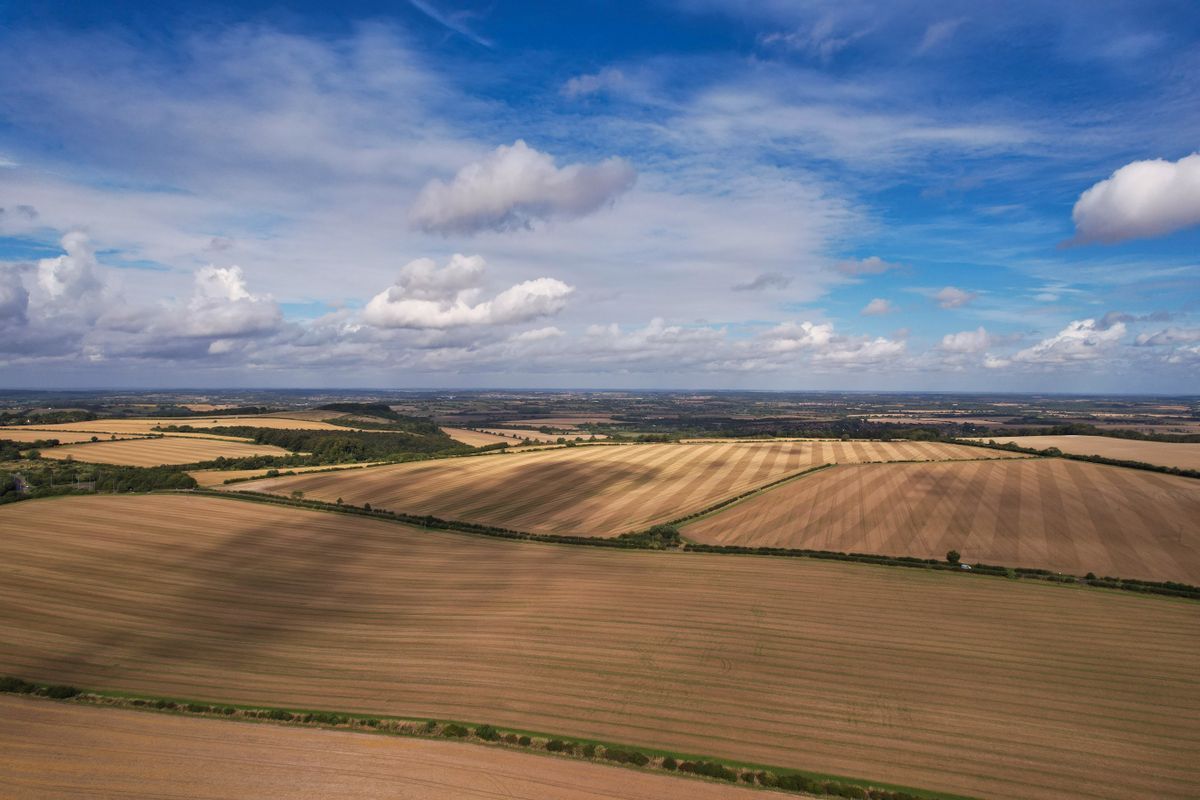
A Worked Example: One Rectangular Field, Three Numbers
Suppose the satellite view shows a clean rectangular field and your closed outline reads a perimeter built from sides of 100 meters and 50 meters. The area is the product, 100 times 50, which is 5,000 square meters. Google Maps will show you that figure directly once the shape is closed, but the conversions are where the number becomes usable. In hectares, divide by 10,000: the field is 0.5 hectares, half a hectare exactly. In acres, divide by 4,046.86: the field is about 1.24 acres. In square feet, multiply square meters by 10.764: about 53,820 square feet. Run the same arithmetic sanity check on whatever outline you draw: pace the shape mentally as a rectangle of similar size and confirm the readout is in the same neighborhood. If Maps reports 50,000 square meters for a plot you estimated at 5,000, a stray click has wandered, perhaps a point dropped on the far side of a road while you were panning, and the live outline on screen will show the spike if you look. This is also where the map scale earns its keep: the readout is only as honest as your sense of how big things on the screen are in the world, and one known length, a building frontage, a sports pitch, calibrates your eye for the whole session.
Curved and Irregular Plots: The Chord Discipline
Real land rarely offers four straight sides, and the gap between a lazy outline and a careful one lives almost entirely in the curves. Every pair of clicks is a straight chord, and a chord across a bend always cuts the corner the land itself rounds. The discipline is simple: on any boundary that bends, halve the distance between clicks until the chords hug the curve, a point every few meters on a pond shore or a sweeping driveway edge, and accept the extra thirty seconds as the price of an honest total. The same discipline applies in reverse to intrusions. If a plot wraps around a neighbor's parcel, a pond that is not yours, or a building footprint you mean to exclude, a single outline cannot subtract; measure the whole, measure the intrusion as its own closed shape, and subtract the second figure from the first. Two closed shapes and one subtraction handle most real plots, including L-shaped fields and yards with a pool carved out. What you cannot fix with clicking is a boundary you cannot see: a line that runs under tree canopy, through a wood, or along a feature the imagery dates from before a fence moved. There, the map gives you the shape of an answer but not its certainty, and the professional move is to note the estimate as provisional until the hidden edge can be walked with a phone in hand, its track compared against the outline you drew.
How Accurate Is a Clicked Area, Honestly?
Treat a clicked area as a good estimate with known error sources, not as a measurement of record. The first error source is your own clicking: at the zoom where a whole farm fits on screen, one pixel can be several meters of ground, and a vertex placed one pixel inside a corner shaves a strip off every edge it touches. Zooming to the closest usable level and dragging points onto true corners is the entire remedy, and it is worth the minute it takes. The second source is the imagery itself: satellite photos are stitched and corrected, but a roof edge or a fence line can sit a small distance from where the map draws the parcel's other features, which is why two careful people measuring the same plot get slightly different totals. The third source is shape honesty: land is rarely the polygon you clicked, and every curve you approximated with chords is a small, systematic understatement or overstatement. For the jobs this tool is actually for, comparing two plots, sizing a garden project, estimating a mowing or seeding quote, checking whether a listing's claimed acreage is plausible, that accuracy is plenty, and it arrives in two minutes for free. For the jobs it is not for, legal boundaries, disputes, purchases priced by the square meter, the answer is a licensed survey, and no honest guide should blur that line. Measure boldly for planning; survey formally for ownership.
Related Guides
This guide does not stand alone. The map app guides below take up the questions it leads into:
- Google Maps Gas Prices: Find Prices Along Your Route and Read Them Right: Google Maps shows gas prices on station listings in many countries, lets you search prices along a route, and hides two traps: prices can be...
- Google Maps Radius Tool: How to Draw a Circle When Maps Refuses To: Neither Google Maps nor Google My Maps can draw a radius circle natively, which surprises everyone who goes looking for the button.
- Google Maps Timeline: How the On-Device History Works Now: Google Maps Timeline changed fundamentally in 2024.
Frequently Asked Questions
Can the Google Maps phone app measure area?
No. The phone app's measure tool reports distance only, even when you close the loop back to your first point. Area readout appears on the desktop site when you close a shape, and Google Earth's measure tool reports area on both web and mobile.
How do I see the area after drawing on a computer?
Right-click, choose Measure distance, click the boundary points in order, and then click the first point again to close the shape. The black readout box then shows the total area next to the perimeter distance, and it updates live as you drag points.
What units does Google Maps use for area?
Square meters or square feet, following your region settings, with the readout box showing the figure for the closed shape. Convert with fixed factors: one hectare is 10,000 square meters, one acre is about 4,046.86 square meters, and one square meter is about 10.764 square feet.
Why does my outline show distance but no area?
The shape is not closed. The area appears only when the last click lands on the first point and the outline becomes a filled polygon. On the phone app, no area appears at all, because that readout is desktop only.
Is a Google Maps area measurement accurate enough for buying land?
No. It is a planning estimate affected by click placement, imagery alignment, and how honestly your polygon follows curved boundaries. Use it to compare plots and sanity-check claimed acreage; use a licensed survey for any number money or law will rest on.
Photo credits: Altaf Shah (Pexels); Altaf Shah (Pexels). Photos are served from this site; follow the credit to the library page for the original.