"How far is it from here to there?" sounds like one question. Your phone hears three. There is the straight line distance, the crow-flies gap between two points. There is the driving distance, which follows roads, one-way systems, and river crossings. And there is the walking distance, which follows footpaths and sidewalks and is often shorter than the drive and longer than the crow's flight. Map apps answer all three, in different places, with different tools, and almost no guide tells you which number you are looking at. This one does: the measuring tool step by step, the honest Apple Maps situation, and a way to verify any number your app gives you.
How to Measure Distance on a Map App: Straight Line, Road, and Walking Numbers Explained
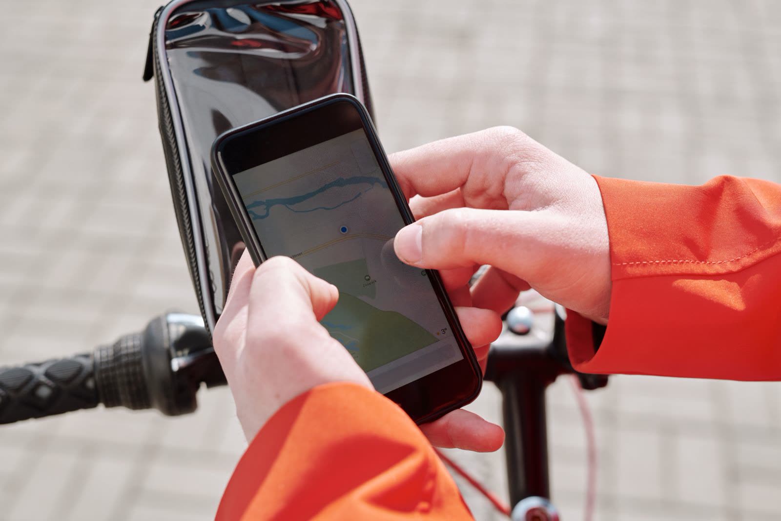
Photo: Norma Mortenson / Pexels
Interactive map
Distance Measurer: Check the App Against the Truth
Click Times Square, then the south end of Central Park. The straight line answer is 1.60 km at a bearing of 45.6 degrees, computed with this site's verified math. Compare it with the three numbers your map app gives you.
Total straight-line distance, 0 points
Click the map to start
Distances are great-circle (haversine, mean Earth radius 6,371 km): the shortest path over the surface, not a road or trail distance. Map data © OpenStreetMap contributors.
The Measuring Tool: Google Maps Measure Distance, Step by Step
Google Maps carries a dedicated tool called Measure distance. It exists on Android, on iPhone, and on the desktop site, and it measures the straight line, point to point, as you tap.
- Open Google Maps and find your starting point. A landmark, an address, or your own location all work.
- Press and hold on the map at the exact starting point until a red pin drops. On the desktop, right-click the point instead.
- The place card or menu that appears contains Measure distance. Tap or click it. The map enters measuring mode, with a movable target and a running total at the bottom of the screen.
- Move the map so the target sits on your second point, then tap Add point. The total updates to the distance from the start through that point.
- Keep adding points to measure a path: around a lake, along a trail, down a property line. Each segment is straight, so curve the path with more points, not fewer.
- Read the total at the bottom. On the phone you can switch between metric and imperial in the app's settings if the unit is not the one you think in.
- To finish, tap the back arrow or the undo button to remove points one at a time; closing the card ends the measurement.
Two habits separate a trustworthy measurement from a fantasy. First, zoom in before placing each point: at city zoom, a fingertip covers a whole building, and a point dropped "on the corner" can be thirty meters off. Second, remember what the tool is: a ruler laid across the map. It knows nothing about roads, fences, or rivers. That is a feature when you want the true gap, and a trap when you want the journey.
Apple Maps: No Measuring Tool, and the Workaround
Apple Maps has no equivalent of Measure distance, and it is better to say so plainly than to send you hunting through menus for a tool that is not there. What Apple Maps does give you is route distances, which answer the journey questions well. The workarounds, in order of honesty:
For a driving or walking distance, search the destination, tap Directions, and read the distance on the route card. That is a road or path number, not a straight line, and for most real questions ("how far is the drive") it is the better number anyway.
For a straight line, drop a pin at each end and do the short math this site's Distance Measurer does for you above: it reads the coordinates of two clicked points and computes the true straight line between them. On the phone, the Compass app shows your own coordinates, and a dropped pin's card shows the pin's coordinates, so the pair can be carried into any distance tool.
For a rough eyeball, the scale bar at the bottom corner of the Apple Maps display, visible while zooming, gives an order of magnitude. It is a sanity check, not a measurement.
The Three Numbers, Side by Side
| Number | What it follows | When it is the right answer | When it lies |
|---|---|---|---|
| Straight line measure | Nothing; the direct gap between two points | Property lines, flight distances, "as the crow flies", radio and signal range | Any real journey on the ground |
| Driving route distance | Roads, one-ways, legal turns | Fuel, drive time, delivery range | Short urban trips where walking cuts through |
| Walking route distance | Sidewalks, footpaths, crossings | Actual walks, hikes in town, campus trips | Anywhere paths are missing from the map data |
The gaps between the three are not small. A river town can sit 800 meters straight line from its neighbor and 6 kilometers by road, because the bridge is up the valley. An airport can be 4 kilometers from a hotel in a straight line and a 25 minute taxi ride. When someone quotes you a distance, the first question is always: which of the three is it?
A Worked Check You Can Repeat
Trust, but verify. Take two points whose straight line distance this site's verified math has already computed: Times Square in New York (latitude 40.7580, longitude minus 73.9855) and the south end of Central Park (latitude 40.7681, longitude minus 73.9719). The Distance Measurer above, which uses the same haversine math as this site's verified library, gives 1.60 km in a straight line, at a bearing of 45.6 degrees, northeast.
Now measure the same pair in Google Maps with Measure distance. Zoomed in and placed carefully, you should land within a few tens of meters of 1.60 km; the remaining difference is your pin placement, not the math. Then ask for directions instead: the driving route comes out longer, because it follows the avenue grid, and the walking route lands between the two. Three numbers, one pair of places, all correct, each answering a different question. That is the whole lesson in one exercise. If you want the deeper version of how these numbers are computed from coordinates, our guide to measuring distance on a map starts from paper and works up.

Measuring Well: The Errors That Actually Happen
Fat-finger placement. The largest error source by far. A point placed on the wrong side of a wide road adds the road's width twice. Zoom until the building or corner fills the screen before adding the point.
Too few points on a curve. A lakeshore path measured with three points is a triangle, not a shoreline. On curves, add a point every time the direction visibly changes; the total climbs toward the truth with each one.
Confusing the measure with the route. If the number at the bottom of the screen arrived after tapping Directions, it is a route distance. Measure distance and Directions are different tools that happen to share a screen size. Know which one you opened.
Trusting a screenshot's units. A total in miles read as kilometers (or the reverse) is a 60 percent error wearing a small font. Check the unit label before quoting any number, especially one someone sent you.
Measuring from a search pin instead of the real point. A business's pin can sit at its parking lot entrance, its loading dock, or the middle of its roof. For property and boundary questions, drop your own pin on the exact feature, not the search result.
Measuring Area: The Question the Tool Almost Answers
Measure distance measures length, not area, and readers regularly try to stretch it into a land measurement tool. There is a legitimate halfway use: walk the tool around a property's boundary, point by point, and the total is the perimeter, which is a real number with real uses, fencing, edging, a running track's outer loop. But the tool will not square that perimeter into an area, and a perimeter alone cannot give you one: a long thin lot and a square lot can share a perimeter and differ wildly in area. For genuine area, the honest routes are a dedicated area tool on a desktop map site, or the property's own documents. What the measuring tool gives you for land questions is the side lengths, and from four side lengths of a rectangle, length times width, the area arithmetic is yours to finish. Do not let an app screenshot talk you out of that distinction; perimeter and area answer different questions and are priced differently by every contractor you will ever hire.
Phone or Desktop: The Same Tool, Two Temperaments
Measure distance exists in both places, but they suit different work. The desktop version, right-click, Measure distance, wins for careful, planned measurements: a big screen, a mouse that places points to the meter, and an easy view of the whole path at once. Measuring a cycling route or a property boundary belongs there. The phone version wins in the field: standing at one end of the thing being measured, dropping points as you walk, checking a trail junction against the plan. Its weakness is the fingertip, which at low zoom covers tens of meters; its strength is that your own location is one of the points, for free. A practical routine combines them: measure roughly on the phone while out, then re-measure carefully on the desktop at home if the number will be quoted, priced, or argued about. If the two disagree, the desktop number, placed slowly at high zoom, is almost always the honest one.
Which Tool for Which Question
For "how far is the drive", use Directions in either app and stop there. For "how far apart are these two points, really", use Google Maps Measure distance, or the measurer on this page with the two coordinates. For "how far will I actually walk", use walking directions, and treat the answer as a floor, since real feet detour for coffee. And for the question behind many of these searches, "is this place as close as the listing claims", measure the straight line yourself: listings quote the crow's flight, life is lived on the route. The same measuring tool is the heart of planning downloads for offline trips, where our offline maps guide uses it to size the area a download must cover.
Measuring From Someone Else's Coordinates
Half of real measuring starts not with a map click but with a pair of numbers someone sent you: a listing's coordinates, a friend's dropped pin readout, a document's latitude and longitude. The workflow is the same tool used backward. Paste or type the pair into the measurer's world by clicking as close to it as the map allows, or better, use a converter to confirm the pair's format first if it arrived in DMS or DDM, since a format mixup at this stage moves your starting point by streets and every measurement after it inherits the error. Our latitude and longitude format guide is the ten minute inoculation against that whole family of mistakes. Then measure as usual, and when you report the result, report it with its kind attached: "1.6 kilometers straight line" is a complete sentence; "1.6 kilometers" alone invites the listener to hear whichever of the three numbers suits them, and to blame you at the destination.
Related Guides
The closest companions to this guide are the map app guides below. Each one picks up a thread this page starts:
- Best Walking Map App: The Right Pick for Your Kind of Walk: The best walking map app depends on the walk: a new city on foot, a step-free route, a countryside path, or a foreign trip with no data.
- Best Map App for iPhone: The Honest Pick for Driving, Walking, and Travel: The best map app for iPhone depends on which iPhone jobs you actually do, because Apple Maps, Google Maps, and Waze each win a different one.
- Best Map App for China: Amap, Apple Maps, Baidu, and the Google Maps Problem Explained: China is the one major country where your usual map app strategy falls apart, because Google Maps is blocked, GPS coordinates are deliberately...
Frequently Asked Questions
Where is Measure distance in Google Maps?
Press and hold on the map to drop a pin, then choose Measure distance from the card or menu that appears. On the desktop site, right-click the starting point and choose Measure distance. Move the map and tap Add point for each new point; the running total sits at the bottom of the screen.
Does Apple Maps have a measure distance tool?
No. Apple Maps has no equivalent of Google's Measure distance. It gives route distances through Directions, which follow roads or paths. For a straight line, read the coordinates of both points (a dropped pin's card shows them) and compute the distance from the pair, which is what the Distance Measurer on this page does from two clicks.
Why is the driving distance longer than the measured distance?
Because roads are not straight lines. The measure is the direct gap between two points; the driving route must follow streets, obey one-way systems, and cross rivers at bridges. In grid cities the driving distance is typically 20 to 40 percent longer than the straight line, and far more where a river, rail line, or highway cuts between you and the destination.
How accurate is Measure distance in Google Maps?
The math is exact; the error is your pin placement. Zoomed in carefully, expect agreement within a few tens of meters of the true straight line over city distances. The worked check in this article, Times Square to the south end of Central Park, is 1.60 km by verified haversine math, and a careful in-app measure lands on the same figure.
Can I measure a curved path, like a trail or a shoreline?
Yes, by adding many points. Each segment between points is straight, so place a point wherever the path changes direction. More points trace the curve more honestly and the total grows toward the true length. With too few points you measure the chords, not the curve, and the answer comes out short.
How do I switch between kilometers and miles?
In the Google Maps phone app, tap your profile picture, then Settings, then Distance units, and choose kilometers or miles. Measure distance and route distances both follow that setting. On this page, the Distance Measurer reports both, so no setting is needed.
Photo credits: Norma Mortenson (Pexels); Fausto Hernández (Pexels). Photos are served from this site; follow the credit to the library page for the original.