Ask which app has more accurate traffic and you have asked three questions at once. The first is about the colors: does the red segment on the map match the brake lights in front of you, right now? The second is about the clock: when the app promises arrival at 6:40, do you arrive at 6:40? The third is about judgment: when traffic breaks ahead, does the app move you early enough for the detour to pay? The two apps do not win these three contests together, because their traffic data comes from different wells. This guide separates the contests, explains the wells, and gives you a one week self test that produces a verdict for your roads, which is the only verdict that should steer your commute. The tool below prices the ground truth both apps are arguing about: what a detour actually costs in distance.
Apple Maps vs Google Maps Traffic Accuracy: Whose Congestion Data and ETAs to Trust
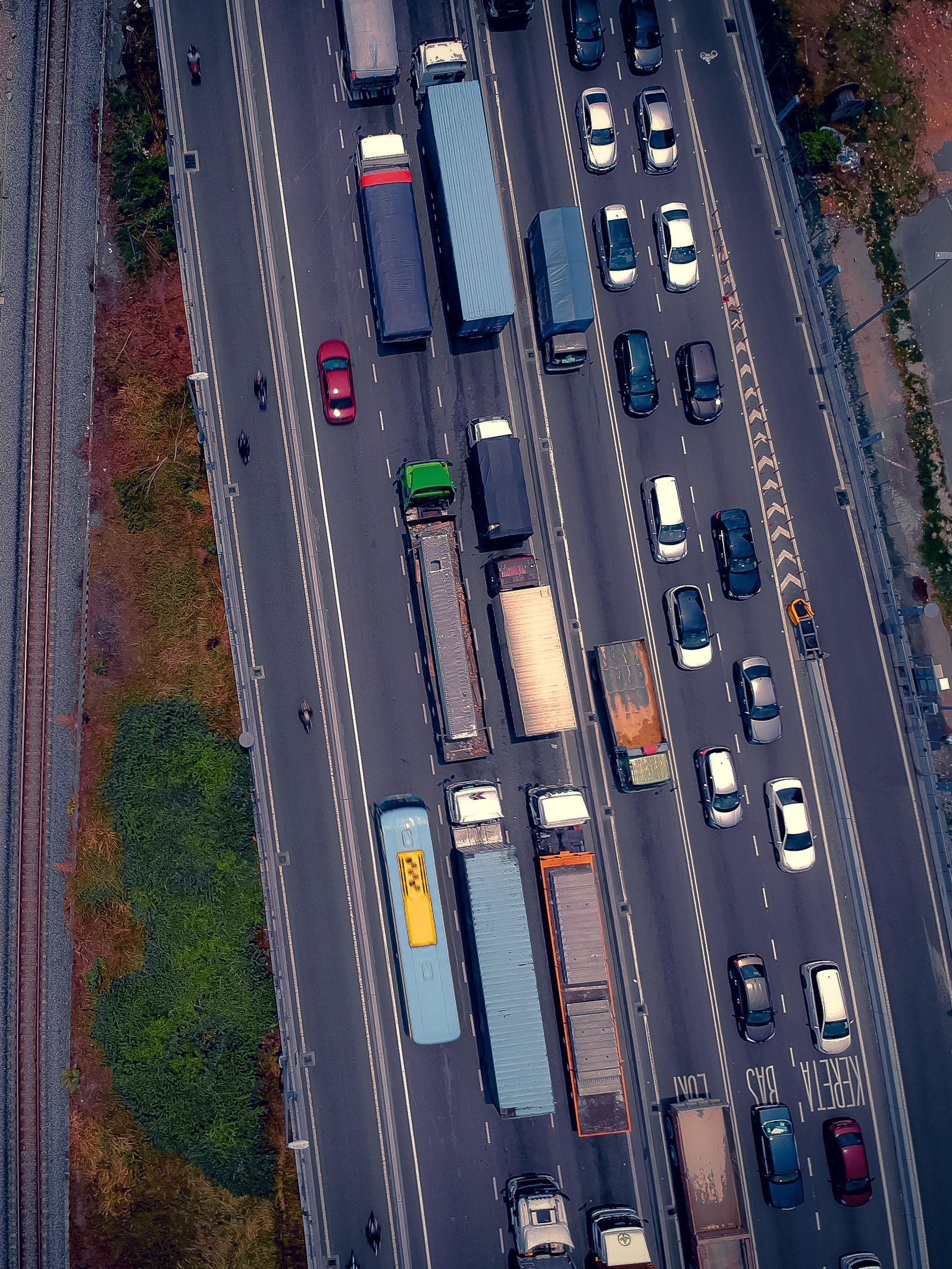
Photo: queen Nori / Pexels
Distance Measurer: Price the Detour Before You Take It
Click your position and the far side of the jam. The distance and bearing tell you what the reroute really costs in ground covered, the number to weigh against the minutes either app claims its traffic data will save you.
Total straight-line distance, 0 points
Click the map to start
Distances are great-circle (haversine, mean Earth radius 6,371 km): the shortest path over the surface, not a road or trail distance. Map data © OpenStreetMap contributors.
Where the Traffic Data Comes From
Google Maps reads the largest live signal in consumer navigation. Its probes are the phones moving through traffic with location services on: Android devices, which report passively at scale, iPhone users running Google Maps, and the incident layer of Waze, the driver reporting app Google acquired on June 11, 2013. Speeds from those probes paint the congestion colors, and human reports, crashes, closures, hazards, construction, add the events that speed data alone would only imply. Apple Maps reads a smaller but real signal: iPhones moving with Apple Maps and system level location contributions, plus incident reports its users file in supported regions. On a dense urban freeway at rush hour, both wells are deep and both apps see the jam. On a rural highway at dawn, Google's well is deeper simply because more of the few cars present are reporting to it. That asymmetry, signal density, explains most real world differences between the two, and it is why verdicts from Manhattan and from Montana honestly disagree.
Contest One: The Colors, or How Current Is the Jam
Congestion colors are a claim about the last few minutes. Both apps update them continuously from probe speeds, and both lag reality by the nature of the method: a jam must slow enough probes, for long enough, before the segment turns red, and it must clear for a while before the red fades. In long term comparison drives published by tech press over the years, the recurring finding is that Google's colors react a little sooner at the forming edge of a jam and clear a little sooner at the dissolving edge, consistent with its larger probe count, while Apple Maps is close enough behind that the difference rarely changes a decision. Where both fail identically is the sudden event between probe passes: the crash that happened ninety seconds ago is invisible to colors until reports or slowed probes arrive, which is why the human report layer matters and why Google's Waze fed stream gives it the edge on event freshness in most regions. Treat colors as a photograph a few minutes old in both apps, and you will read them correctly in either.
Contest Two: The Arrival Time
An estimated time of arrival is a prediction built from the live speeds, the historical pattern for that road at that hour, and the app's model of how traffic evolves. Apple Maps has become genuinely strong here on learned regular routes: the commute you drive daily is a route its models know intimately, and its estimates on such routes are often calm and accurate, neither padded nor optimistic. Google Maps brings the larger dataset to the same problem and tends to hold its accuracy better on unfamiliar routes, in unfamiliar cities, and at odd hours, where history is thin and live signal has to carry the prediction. Published head to head drives over the years split their verdicts along exactly this line: Apple frequently praised for specific, confident guidance and good ETAs on known ground, Google for consistency everywhere else. The honest summary is that ETA accuracy is a local statistic. Your commute has a winner. The test below finds it.
Contest Three: The Reroute
A reroute is a bet: the app wagers your current route's remaining time against a detour's, using data that is minutes old and a model of how both evolve. Google Maps bets more often and earlier, powered by the denser signal, and its bets on highway incidents are its signature strength; the classic experience is Google moving you around a jam you never see. The same eagerness produces its signature failure, the optimistic side street detour that saves nothing because the jam's refugees, many of them following the same advice, fill the alternative. Apple Maps bets more conservatively, rerouting less often, which reads as stubbornness when a real closure forms and as wisdom when the incident clears in ten minutes. Neither policy is accuracy in the simple sense. They are different risk postures over the same uncertainty, and your preference between them is partly temperament: some drivers want every possible save attempted, others want a calm route that changes only when the case is overwhelming.
The One Week Self Test
Settle it on your own roads with a protocol instead of impressions. Days one and two: drive your normal commute with Google Maps navigating and Apple Maps open on the same route, or the reverse if a passenger can watch the second phone. At departure, screenshot both ETAs. At arrival, record both errors in minutes. Days three and four: swap which app navigates. Day five: repeat your worst traffic day pattern, the Friday afternoon or the event night. Score three columns separately: ETA error in minutes, color honesty (did red mean stopped, did green mean moving, checked at three points per trip), and reroute judgment (every reroute either app proposed, marked saved, neutral, or cost). Five days produce a small table, and small tables beat year old reviews, because traffic data quality is regional, seasonal, and personal to your corridor. Most testers find a split verdict: one app wins their commute's ETA column while the other wins weekend unfamiliar driving, which is a usable answer, not a tie.
Where Both Apps Go Blind
Name the shared failures so neither app's marketing fills them in. Fresh incidents are invisible until probed or reported, in both. Roads with few users produce thin or absent live data; a country road can show no color not because it is clear but because nobody is reporting from it. Weather events break the historical models both apps lean on; the first snow of the season makes every ETA a guess. Event surges, stadium exits and festival endings, overwhelm probe logic with demand that has no pattern. Inside tunnels and dense downtown canyons, position error pollutes the speed data itself, a cousin of the problems in our guide to why your location is not accurate. Knowing the blind spots converts traffic colors from an oracle into an instrument, and instruments are how professionals read both apps.
How This Contest Differs From the Accuracy Contest
Our Apple Maps vs Google Maps accuracy article judges a different claim: whether the position fix and the map data underneath are true, measured in meters and in correct addresses. This article judges time: congestion now, arrival predictions, and reroute judgment. An app can win one and lose the other, and the pair of articles together explains most arguments about these two apps, which usually turn out to be two people scoring different contests. The dashboard version of the fight, judged on voice and glanceability, is our Apple Maps vs Google Maps on CarPlay comparison, and the driver focused three way context lives in Google Maps vs Waze, since Waze's report stream is half of Google's traffic story.
The Verdict, Stated Plainly
For most drivers in most populated areas, Google Maps holds a real but narrow traffic edge: a denser live signal, fresher incident reports, and ETAs that travel better to unfamiliar ground. Apple Maps answers with ETAs that are excellent on learned routines, calmer rerouting, and colors that trail Google's by minutes rather than by miles. The gap is small enough that your self test, not this paragraph, should pick your default, and large enough that drivers on incident heavy highway corridors will feel it weekly. Choose by the column you care about: arrival honesty on the daily commute, or early warning on the long unfamiliar drive. Then keep the other app installed, because the day your default goes blind is the day the second opinion earns its storage.
Related Guides
If this page answered part of the question, these map app guides cover the rest of the same ground:
- Google Maps Radius Tool: How to Draw a Circle When Maps Refuses To: Neither Google Maps nor Google My Maps can draw a radius circle natively, which surprises everyone who goes looking for the button.
- Google Maps Timeline: How the On-Device History Works Now: Google Maps Timeline changed fundamentally in 2024.
- Google Maps Update: What Changed, and How to Get the New Version: A Google Maps update can mean two different things: the new features Google just announced, or the app update sitting in your store waiting to install.
- How to View Traffic in Google Maps: The Live Colors, Typical Traffic, and Reading a Route Before You Drive: the traffic layer that feeds the comparison
- Google Maps Traffic: Read the Colors, the Closures, and Typical Traffic Right: The Google side of this comparison in full: relative colors, closures, and Typical traffic.
Frequently Asked Questions
Which app has more accurate traffic, in one sentence?
Google Maps, narrowly, for most populated areas, because its live probe signal and its Waze fed incident reports are denser; Apple Maps matches or beats it on ETAs for regular learned routes, so your own commute test is the deciding evidence.
Why does Google Maps know about a crash before Apple Maps does?
Usually because a Waze or Google Maps user reported it, or enough probes slowed to reveal it, sooner than Apple's smaller report stream caught it. Both apps depend on the same two mechanisms, reports and probe speeds; Google simply has more of both flowing in.
Why do the two apps show different ETAs for the same trip?
They run different models over different data: different probe counts, different historical patterns, and different assumptions about how traffic evolves. A few minutes of disagreement is normal; a large gap usually means one app has fresher incident information than the other.
Does Apple Maps use Waze or Google traffic data?
No. Apple Maps runs on Apple's own probe and report data plus its data partners. The Waze stream belongs to Google, which acquired Waze on June 11, 2013, and it feeds Google Maps, not Apple Maps.
Can I make traffic more accurate in either app?
Indirectly: keep location services and background refresh on so your phone contributes and receives cleanly, download your region so map rendering never waits on data, and report incidents you pass. Reports from drivers are a real input, and filing them improves the stream for everyone behind you.
Photo credits: queen Nori (Pexels); Kindel Media (Pexels). Photos are served from this site; follow the credit to the library page for the original.