Ask the internet which map is more accurate and you will get a bar fight. Drivers swear by whichever app failed them last. The argument never resolves because the word "accuracy" is doing three jobs at once, and each app wins a different one of them in different places. Split the word into its three real meanings, position accuracy, map data accuracy, and arrival accuracy, and the fight mostly evaporates. What remains is a clear picture of which app to trust for what, plus one honest complication: the answer changes between a dense city and a rural county, so the last section hands you a test to run on your own ground.
Apple Maps vs Google Maps Accuracy: Three Kinds of Accurate, and a Test You Can Run Yourself
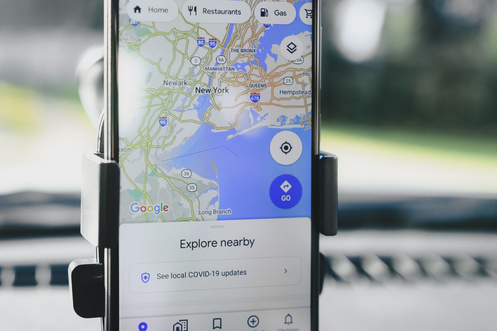
Photo: AS Photography / Pexels
Interactive map
Distance Measurer: Run the Accuracy Self-Test
Click a landmark you can stand beside, read its coordinates and its distance from your second point, then compare what each app claims when you test it the way this article describes.
Total straight-line distance, 0 points
Click the map to start
Distances are great-circle (haversine, mean Earth radius 6,371 km): the shortest path over the surface, not a road or trail distance. Map data © OpenStreetMap contributors.
Axis One: Position Accuracy (Where the Dot Sits)
Here is the surprise that ends most arguments: when both apps run on the same phone, their blue dots are drawing on the same position. Your phone computes its location from GPS satellites, Wi-Fi networks, and cell towers, and hands that one fix to every app that asks. Apple Maps does not own a private GPS, and neither does Google Maps. Standing in an open field, both dots will sit within the same few meters of you, because both are showing you the phone's answer, not their own.
Where the apps differ on this axis is polish, not physics. They smooth the dot's movement differently, snap it to roads with different enthusiasm, and recover from a tunnel or a parking garage at different speeds. Google Maps tends to show its uncertainty more openly, widening the pale blue circle around the dot when the fix is weak. Apple Maps tends to present a calmer, more confident dot, which feels better and occasionally lies by understatement. In the worst environments for GPS, downtown cores with glass towers, underground stations, multi-level highways, both dots will wander, jump to a parallel street, or freeze, because the phone itself is guessing. If your dot is wrong in both apps, the problem is your phone's view of the sky, and our guide to why a device location is wrong explains the causes and the fixes. Verdict on axis one: a tie, decided by your phone and your surroundings, not by the app.
Axis Two: Map Data Accuracy (Whether the Map Knows the World)
This is where the apps genuinely diverge, because each maintains its own database of roads, addresses, and places, and the databases are not equal everywhere.
Coverage and depth. Google has been collecting map data longer and lists far more businesses and points of interest, over 200 million places by its own past statements, with especially deep coverage outside North America and Western Europe. In much of the world, a small business, a rural address, or a new housing estate appears in Google Maps months or years before it appears in Apple Maps, if it ever does. Apple rebuilt its map from scratch starting in the United States, and in the countries where the new map has fully landed, its road geometry, building footprints, and address points are excellent, often cleaner than Google's. Outside those countries, Apple's data is thinner, sometimes licensed from partners and visibly a step behind.
Freshness. Both companies update continuously, but Google's army of business owners claiming their listings, plus its larger user base reporting changes, keeps its place data fresher in most markets. A restaurant that moved last month is more likely to be right in Google. Apple's reporting flow works too (Report an Issue at the bottom of any place card), but the crowd feeding it is smaller.
Address interpolation. In rural areas, both apps often estimate where a house number sits along a road rather than knowing the true driveway. Google's estimates, fed by Street View cars that photographed the mailboxes, are usually closer. If you deliver, visit clients, or drive rural routes, this is the axis that decides your day, and it favors Google in most of the world.
Verdict on axis two: Google, clearly, in most places; Apple reaches parity or better in the heart of its rebuilt-map countries, especially for road geometry in the United States.
Axis Three: Arrival Accuracy (Whether the ETA Tells the Truth)
An arrival time is a prediction built from the road network, current traffic, and history. Google's traffic engine drinks from an enormous stream of live phone movement, plus Waze incident reports flowing into the same company, so its picture of a jam forming right now is usually the freshest, and its ETAs in big cities are famously hard to beat. Apple's traffic data has improved steadily and in its stronghold cities its ETAs are now close, sometimes better at choosing the calmer route rather than the theoretically fastest one. Two honest caveats apply to both. First, ETAs are self-fulfilling: when every driver is routed around a jam, the jam moves. Second, both apps quietly pad some predictions; arriving "two minutes early" every day is a padded ETA, not a perfect one.
Where Apple has closed the gap fastest is route choice communication: its guidance calls out natural landmarks ("turn right after the gas station") in supported areas, which reduces the missed turns that destroy real-world arrival times no matter what the prediction said. A route you follow without errors beats a faster route you fumble. Verdict on axis three: Google by a nose in most cities for raw ETA prediction, Apple competitive in its rebuilt regions, and the difference smaller than the effect of one missed turn.
Scoreboard
| Accuracy axis | Apple Maps | Google Maps | What decides it |
|---|---|---|---|
| Position (blue dot) | Tie | Tie | Your phone's GPS, Wi-Fi, and sky view |
| Map data: places depth | Good in rebuilt countries | Best, worldwide | Database size and local partners |
| Map data: rural addresses | Weaker | Stronger | Street View coverage and reporting crowd |
| Map data: road geometry | Excellent in rebuilt regions | Very good everywhere | Apple's rebuild vs Google's head start |
| Arrival time prediction | Close in stronghold cities | Best overall | Live traffic data volume |
| Guidance clarity | Landmark based prompts in supported areas | Clear, more robotic | Missed turns cost more than model error |
Run the Test Yourself: The Two-Phone Method
Reviewers test on their streets. Your streets are the ones that matter, so here is a repeatable test that takes twenty minutes and settles which app's data serves your life better.
- Pick five test points from your real life: your home, your workplace, a friend's house in a newer development, a rural address you visit, and one business that opened or moved this year.
- Find the true coordinates of one point you can verify exactly. Stand at a distinct, findable spot, a front door, a gate, a marker, and read your coordinates in each app. Then enter that same pair into the Coordinate Explorer on this page and check what the apps gave you against each other and against the map. The pair that lands on the door, not the street or the neighbor's roof, wins that point.
- Search each test point by address in both apps and note where the pin lands: on the building, on the street, or in the wrong block entirely. Score a point for each app that pins the building.
- Drive one familiar route at a busy time with each app on different days, same departure window, and record the predicted ETA at departure and the actual arrival. After a few runs, the app whose predictions bracket your real arrivals more tightly is your arrival champion, whatever the internet says.
- Check the data freshness signals: search for the newest business you know and the most recently closed one. The app that lists the opening and has dropped the closure has the fresher database in your town.
Our own explorer is calibrated against published values, so it makes a fair referee: it places the Statue of Liberty at 40.689167, -74.044444, and measures the straight line from New York to Boston at 306.1 km, matching published references. When two apps disagree about a coordinate, a neutral third tool is how you find out which one drifted.
Why Your Friend in Another Country Gives the Opposite Answer
The most confusing part of this debate is that both sides are usually telling the truth about different maps. Apple Maps is not one product worldwide; it is a patchwork. In the United States, Canada, and a growing list of countries, Apple replaced its old licensed data with its own rebuilt map, surveyed by its own vehicles and aircraft, and there the road geometry, lane guidance, and address points are genuinely first rate. In countries still waiting for the rebuild, Apple Maps runs on partner data that can be years behind the street, and locals who call it useless are describing their map accurately. Google Maps varies less, because its data pipeline is global and continuous, but it has its own patchiness: a few countries restrict its data collection, and in China, for example, all maps carry a state-mandated coordinate offset that shifts every pin by hundreds of meters, a legal distortion rather than an app error, and one that confuses visitors comparing apps there.
Walking and cycling sharpen the differences. Pedestrian data, footpaths through parks, cut-throughs, station entrances, is a separate database from the road network, and Google's longer head start shows: its walking routes more often know the footpath that saves four minutes. Apple has been adding detailed city guides and walking features quickly in its rebuilt cities, and its cycling directions, where offered, include elevation and bike lane preferences that many riders prefer. Transit is the most local axis of all: whichever app has the better agreement with your city's transit agency wins your city, full stop, and the loser may not even offer real-time departures. The lesson generalizes beyond this comparison: never import a map verdict across a border. Test where you live, with the test above, and believe your own streets.
So Which Should You Trust?
Trust Google Maps for finding things, especially new, rural, or international things, and for arrival predictions in heavy city traffic. Trust Apple Maps, if you are an iPhone user in a rebuilt-map country, for calm guidance, clean road geometry, and an interface that talks like a person. Trust neither blindly for the blue dot, because the dot belongs to your phone. And if your work is finding addresses for a living, run the two-phone test on your own patch and let your streets, not a verdict page, make the call. For the wider three-way picture including Waze, see our Apple Maps vs Google Maps vs Waze comparison.
Related Guides
This guide does not stand alone. The map app guides below take up the questions it leads into:
- Apple Maps vs Google Maps on CarPlay: Which One Deserves Your Dashboard: On CarPlay the contest between Apple Maps and Google Maps is not the phone contest moved to a bigger screen.
- Google Maps for Boats: What It Can and Cannot Do on the Water: Google Maps has no boat mode, and the reasons are matters of safety, not missing features: it carries no depth soundings, no channel markers or...
- Apple Maps Street View: How to Use Look Around and Check If Your City Has It: Apple's answer to Street View is called Look Around, and it hides behind a binoculars icon that many iPhone owners have never tapped.
Frequently Asked Questions
Which is more accurate, Apple Maps or Google Maps?
For the blue dot, they are equally accurate, because both display the position your phone computes. For map data, Google is more complete and fresher in most of the world, while Apple matches or beats it on road detail in the countries where its rebuilt map has landed. For arrival times, Google's larger live traffic stream gives it a small edge in most cities.
Why is my location wrong in both Apple Maps and Google Maps?
Because the error is in the phone's position fix, not in either app. Buildings blocking and reflecting GPS signals, being indoors or underground, Wi-Fi being off, or a permission set to approximate location all degrade the fix every app receives. Fix the phone side first: open sky, Wi-Fi on, precise location allowed.
Is Apple Maps accurate in rural areas?
Its roads usually are, especially in the United States, but rural addresses and small businesses are its weakest data. House numbers may be estimated along the road and land hundreds of meters from the real driveway. Google Maps, informed by Street View imagery, usually pins rural addresses more precisely. For a critical rural trip, check the destination in both before you leave.
Which app has the more accurate ETA?
Google Maps, in most cities, by a small margin, because it sees more live traffic movement and absorbs Waze incident reports. In Apple's strongest regions the gap is a minute or two on a typical trip, and a single missed turn costs more than the entire difference. Treat both ETAs as good estimates, not promises.
Does Apple Maps use GPS or something else?
Both apps use the same phone location system: GPS and other satellite signals, Wi-Fi network positions, cell tower signals, and motion sensors, blended into one fix. Neither app has its own satellites or a private positioning method. That is why switching apps never fixes a bad blue dot, and why the fixes that work are phone settings and a clearer view of the sky.
How can I check a coordinate an app gives me?
Copy the latitude and longitude into a neutral tool and look at where it lands. The Coordinate Explorer on this site converts and plots pairs in every common format and is checked against published reference values, so if an app's pin converts to a point in a field or a river, you know the app, not the tool, is off. This is also the fastest way to settle two apps disagreeing about the same address.
Photo credits: AS Photography (Pexels); K (Pexels). Photos are served from this site; follow the credit to the library page for the original.