Every Android phone arrives with Google Maps already installed, which makes "best map app for Android" a sharper question than it looks: what would make a different app worth installing at all? The roundups answering it tend to rank by novelty, a fresh interface, a long feature list, or by Android Auto polish. Those are not the axes your daily life runs on. What decides whether a map app serves you is the depth of its place data, what its free tier really allows, how completely it works with no signal, and what it costs you in storage, battery, and privacy. This guide scores the contenders on those axes, then picks by the kind of user you are. If you want the cross-platform picture, our best map app guide covers both systems; this one is Android only, and stricter for it.
Best Map App for Android: Picks by Commuter, Traveler, Hiker, and Privacy First User
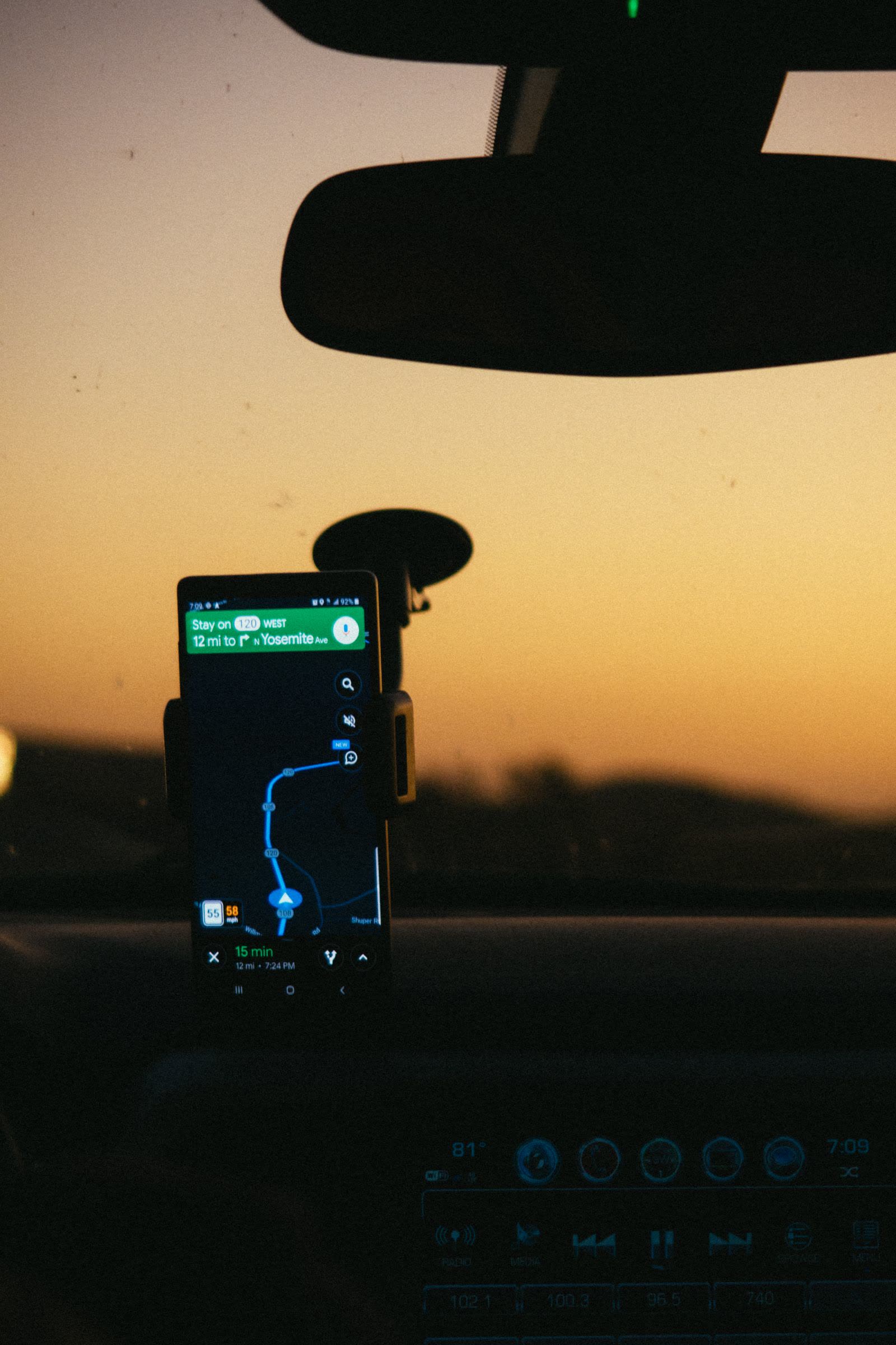
Photo: Athena Sandrini / Pexels
Best Map App for Android: Decision Checklist
Check off each step as you finish it. Your progress stays on this page.
0 of 8 complete
0% done
The Axes That Decide, and What Each App Scores
| App | Place data | Offline depth | Free tier truth | Android Auto | Privacy |
|---|---|---|---|---|---|
| Google Maps | Deepest listings, hours, reviews | Downloaded areas, driving focused | Free; you pay in data and ads in the ecosystem | Excellent | Weakest; location history unless you lock it down |
| Waze | Roads and incidents, thin listings | No real offline mode | Free; needs a connection to be itself | Excellent | Weak; owned by Google, built on sharing |
| OsmAnd | OpenStreetMap data, strong outdoors | Whole regions, all modes, superb | Free tier caps the number of map downloads; paid unlocks all | Good | Strong; no account needed |
| Organic Maps | OpenStreetMap data, clean and simple | Whole countries, all modes | Completely free, no ads, no caps | Basic | Strongest; no tracking, open source |
| HERE WeGo | Good listings, strong in Europe | Whole countries, driving focused | Free offline included | Good | Middle; account optional |
| Sygic | Good listings, polished driving | Offline maps are a paid strength | Free tier is a taster; the good parts are premium | Excellent | Middle |
| Maps.me | OpenStreetMap based, traveler favorite | Whole countries, easy downloads | Free with ads | Basic | Middle to weak; ads and trackers |
Read the table by your own column, not by the app's marketing. A commuter lives in the Android Auto and place data columns. A traveler lives in offline depth and free tier truth. A privacy first user should read the last column first and forgive everything else.
The Commuter Pick: Google Maps, With Waze as the Alarm Clock
For daily driving, Google Maps remains the Android default for a reason: the deepest place data, live traffic built from the largest driver pool on Earth, and flawless Android Auto. Its offline mode is real but driving focused and area based, which suits a commute backup and nothing more. Waze earns a place beside it, not instead of it, for one job: incident alerts. Police, hazards, and closures reported by drivers ahead of you are Waze's whole reason to exist, and on an unfamiliar drive that layer is worth a second app. Waze without a connection, though, is a map with amnesia; it has no true offline mode, so it can never be your only app if your routes cross dead zones. Our three-way comparison of Apple Maps, Google Maps, and Waze goes deeper on this triangle from the driving seat.
The Traveler Pick: Organic Maps or HERE WeGo
Travel breaks map apps in a specific way: no local SIM yet, expensive roaming, and a city you do not know. The fix is whole-country offline maps downloaded on hotel Wi-Fi. Organic Maps does this with the least friction and the cleanest conscience: free, no ads, no account, no tracking, and OpenStreetMap data that is often better than commercial data for walking in old towns and on trails. Its listings are thinner than Google's, so keep Google for restaurant reviews where you have data, and Organic for actually moving. HERE WeGo is the other strong traveler pick, with whole-country downloads, a driving-first design, and place data that is particularly good in Europe. Either one beats discovering at the airport that your downloaded Google area expired or ended at the city border. Our offline maps explainer covers what these downloads store, and our Android specific offline app ranking goes deeper if offline is your main axis.
The Hiker Pick: OsmAnd, and It Is Not Close
On trails, the ranking inverts. OsmAnd is built on OpenStreetMap's outdoor data, shows contour lines, hill shading, trail networks, and route profiles, and records tracks properly. It is the app thru-hikers and bikepackers standardize on, and its learning curve, the menus are dense, is the price of that depth. The free tier on Android caps how many maps you can download; the paid tier removes the cap and adds hourly map updates and advanced features. For a single trip region the free tier is honestly enough; for a season of them, the paid tier is the rare app purchase that earns it. Organic Maps is the lighter alternative if OsmAnd's interface defeats you: fewer tools, far less friction, trails still well drawn from the same open data.
The Privacy First Pick: Organic Maps, Full Stop
If the question is which app wants the least of you, the answer is Organic Maps: open source, no account, no ads, no trackers, and offline by design, which means your movements are not a product because the app works with the network off entirely. OsmAnd is the runner-up, usable without an account and honest about its data. At the other end, Google Maps and Waze are free because your location and behavior are the business; both can be tamed with settings, location history off, ad personalization off, but taming is a chore that resets with every new phone. A privacy first user should also know the trade they are making: OpenStreetMap listings are community data, thinner on opening hours and reviews than Google's. You are trading listing depth for not being the product, and for many people that trade is the entire point.
The Costs Nobody Lists: Storage and Battery
Two costs decide whether a second map app survives on your phone. Storage: offline maps are heavy. A single US state or European country in a full-featured app runs from several hundred megabytes to several gigabytes, and OsmAnd's contour and hillshade layers add more. Check your free space before a trip, not at the airport. Battery: live navigation with the screen on is the most expensive thing a phone does, and apps differ by how aggressively they fetch data. A downloaded map used offline sips by comparison, because the radio rests. On long drives, the app matters less than the mount and the charger; on long hikes, the offline app on airplane mode is the difference between a map at hour eight and a dead phone. Our guide to whether offline maps use data quantifies the fetching side of this.
The Verdict, by User
Commuter: Google Maps, with Waze installed for alert-heavy drives. Traveler: Organic Maps for movement, Google kept for listings where data exists; HERE WeGo if your travel is mostly European driving. Hiker: OsmAnd, free tier first, paid when the download cap bites. Privacy first: Organic Maps, and accept thinner listings as the price of not being tracked. Everyone: exactly two map apps is the right number for most people, one live-data app and one offline backup, both set up before the trip that needs them. The checklist above walks the decision in order; if you cannot tick a row, that row is your answer.
Switching Apps Without Losing Your World
The hidden cost of changing map apps is not learning a new interface; it is your saved places, which live inside each app's own garden. Google Maps lists do not move into Organic Maps with a button, and a decade of starred places is a genuine lock-in, stronger than any feature comparison. The practical mitigations: keep your truly important places in a portable form, a simple list of names and coordinates in a note you own, since coordinates paste into every app ever made, as our coordinates of my location guide preaches. And adopt the two app rule gradually: run the new app alongside the old for one trip rather than switching in a leap, so the comparison is lived, not theoretical, and the old app remains the safety net while the new one earns trust.
Reading Store Promises Like a Surveyor
Finally, learn to discount the app store's dialect, because every claim in this category has a technical meaning smaller than its marketing one. "Offline maps" can mean whole countries forever, or driving rectangles that lapse; the truth table in this article exists to translate. "Free" can mean free, free with ads, or a free tier whose download cap you will meet on your third trip. "No tracking" is a claim about the app, verifiable for open source apps like Organic Maps in a way it never is for closed ones. "Best navigation" without a named axis is noise. The reader who asks, of every claim, "in which column of the table, at what cap, under whose business model" will choose well with any future app this guide has never heard of, which is the actual skill on offer. Apps will keep arriving; the axes do not change.
Related Guides
This guide does not stand alone. The map app guides below take up the questions it leads into:
- Best Walking Map App: The Right Pick for Your Kind of Walk: The best walking map app depends on the walk: a new city on foot, a step-free route, a countryside path, or a foreign trip with no data.
- Best Map App for iPhone: The Honest Pick for Driving, Walking, and Travel: The best map app for iPhone depends on which iPhone jobs you actually do, because Apple Maps, Google Maps, and Waze each win a different one.
- Best Map App for Korea: Why Naver Map Beats Google Maps There: South Korea is the famous exception to Google Maps' world coverage.
Frequently Asked Questions
Is Google Maps still the best map app for Android?
For commuting and place search, yes: deepest listings, best live traffic, best Android Auto. It is not the best for offline travel, trails, or privacy, which is why this guide picks by user type instead of crowning one app. Most Android owners do best with Google Maps plus one offline backup.
What is the best free map app for Android with no catches?
Organic Maps. It is completely free, with no ads, no account, no tracking, and whole-country offline downloads. The catch, if it counts as one, is thinner place listings and reviews than Google Maps, because its data comes from the OpenStreetMap community rather than a commercial listings machine.
Which Android map app works best without internet?
OsmAnd and Organic Maps, both built on downloadable OpenStreetMap data. OsmAnd is deeper for outdoor use, with contours and track tools, and its free tier caps the number of map downloads. Organic Maps is simpler and unlimited. HERE WeGo is the strongest driving-focused alternative, especially in Europe. Our best offline map app for Android ranking scores only this axis.
Is Waze better than Google Maps for driving?
For incident alerts, yes: Waze's driver reports for hazards, closures, and police are faster and denser. For place search, offline backup, and everything off the road, Google Maps wins. Waze also has no real offline mode. Many commuters keep both and open Waze when the drive is the risky part.
How much storage do offline maps take on Android?
Plan on several hundred megabytes for a city region and one to several gigabytes for a whole country in a full-featured app, more with contour and hillshade layers. Download on Wi-Fi before the trip, and check the app's storage line in its settings after, because expired or duplicated downloads are the usual reason a phone fills up before a holiday.
Can I use OsmAnd for free?
Yes. The free Android tier is fully functional for navigation and offline maps, with a cap on how many maps you can download. For one region or one trip it is enough. The paid tier removes the cap and adds frequent map updates and advanced outdoor features, and it is one of the few map purchases that regular hikers consistently judge worth it.
Photo credits: Athena Sandrini (Pexels); Sami Aksu (Pexels). Photos are served from this site; follow the credit to the library page for the original.