Every map app claims to be great for driving, and for a simple A to B trip they all are. The differences that matter live at the edges of real driving life: the crash that just happened two miles ahead, the dead zone in the middle of a road trip, the delivery style route with a dozen stops, the unfamiliar interchange where lane guidance is the difference between a smooth exit and a dangerous swerve. This guide compares Waze, Google Maps, and Apple Maps on exactly those edges, with the limits stated plainly, because the best map app for driving is the one whose limits do not sit on your routes.
Best Map App for Driving: Alerts, Offline Truth, and Multi Stop Limits Compared
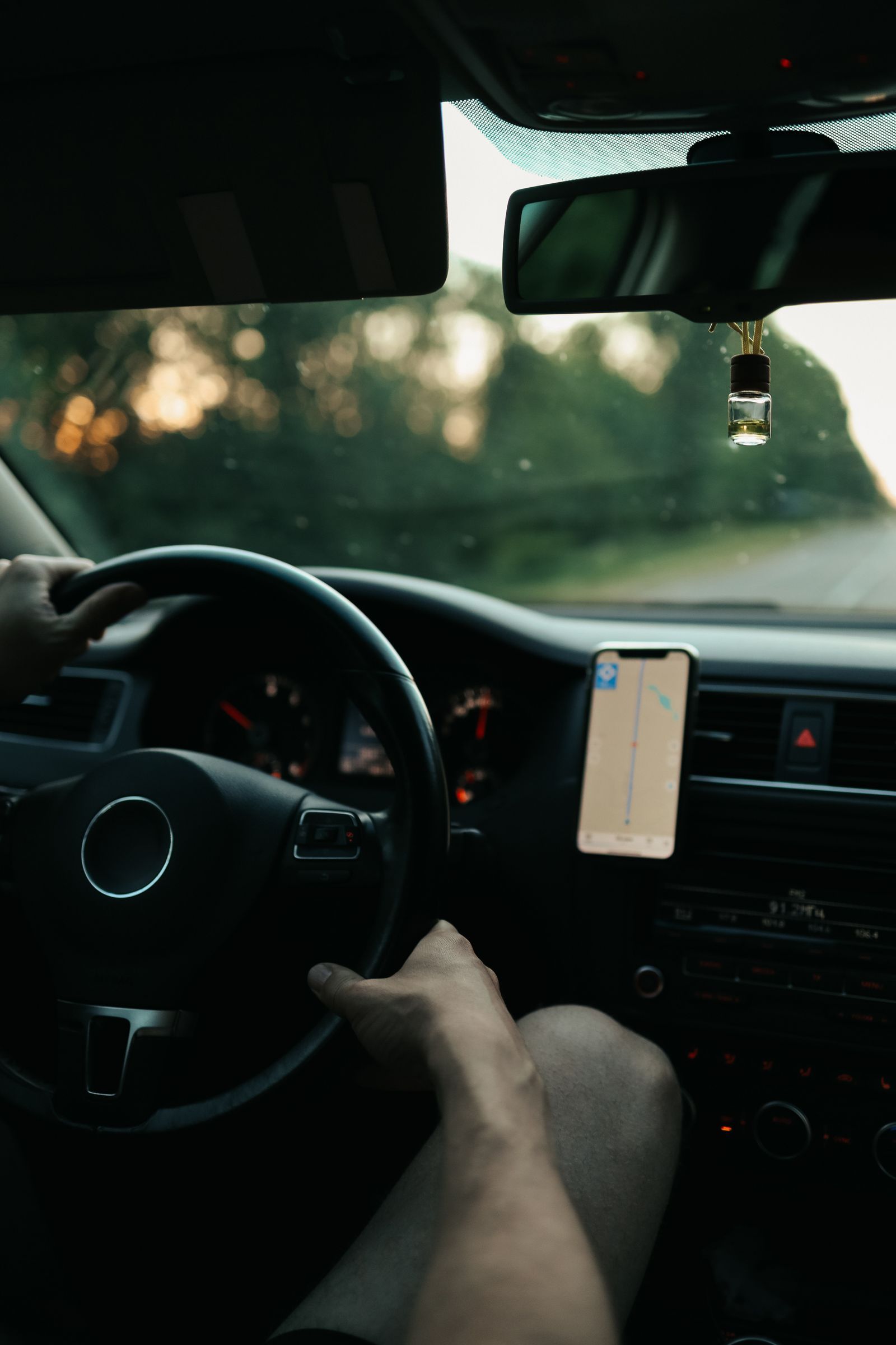
Photo: Maksim Goncharenok / Pexels
Interactive tool
Best Map App for Driving: Decision Checklist
Check off each step as you finish it. Your progress stays on this page.
0 of 7 complete
0% done
Incident Alerts: Waze Wins, and It Is Not Close
Waze's entire design is a driver reporting network. Its users report crashes, stopped vehicles, road hazards, construction, and police presence with two taps, and those reports reach you while they are still fresh. Google Maps added incident reports and now shows Waze sourced alerts in many areas, and Apple Maps accepts hazard and speed check reports too, but both are borrowing a game Waze invented and still plays best, because its whole community is drivers rather than everyone. On a congested commute, Waze routinely warns about the slowdown's cause before the brake lights reach you. If alerts decide your pick, the decision is already made.
The honest footnote is density. Waze's advantage scales with its local user base. On a rural road at 5 in the morning, there may be no Waze driver ahead of you to report anything, and its edge evaporates. The quieter your roads, the less this axis matters.
Offline Truth: The Axis the Brochures Blur
Here the ranking inverts. Waze has no true offline mode. It can continue a route started while connected and can cache some map along it, but lose signal with no active route and it cannot plan a new one. Google Maps lets you download areas in advance; offline, those areas give full driving directions, though walking, cycling, and transit directions stop. Apple Maps downloads, on iOS 17 and later, keep driving, walking, cycling, and transit directions available offline. For the driving question specifically, Google and Apple both pass and Waze fails, which is why road trippers through mountains, deserts, or foreign countryside should never rely on Waze alone. Our guide to downloading offline maps walks through setting up the downloads before a trip, and does offline maps use data answers the data questions drivers ask about it.
Multi Stop Limits: The Quiet Deal Breaker
Drivers running errands, sales calls, or delivery style routes hit a limit most reviews never mention. Google Maps lets you add up to nine stops beyond your starting point on a multi stop route. Apple Maps allows up to fifteen stops. Waze is built around a single destination with at most one added stop on the way. Neither Google nor Apple optimizes the order of your stops for you; both keep the order you enter, so the planning trick is to arrange stops geographically yourself before you start. If your Saturdays involve ten stops, Apple Maps is the only one of the three that holds the whole list. Our guide to adding a stop in Google Maps covers the mechanics and the workaround of splitting a long list into two routes.
The Comparison Table
| Axis | Waze | Google Maps | Apple Maps |
|---|---|---|---|
| Incident alerts | Best, driver reported in real time | Good, includes Waze sourced alerts | Good, growing report system |
| Offline route planning | No true offline mode | Yes, downloaded areas, driving | Yes, downloaded areas, driving plus more |
| Multi stop limit | One added stop | Nine stops | Fifteen stops |
| Speed limit display | Yes | Yes, major roads | Yes, major roads |
| Lane guidance | Basic | Strong | Strong |
| CarPlay and Android Auto | Yes | Yes | CarPlay only |
| Walking or transit fallback | None | Yes, online | Yes, online and offline |
| Ads | Yes, location based | Minimal in navigation | None |
Lane Guidance, Speed Limits, and the Driving Interface
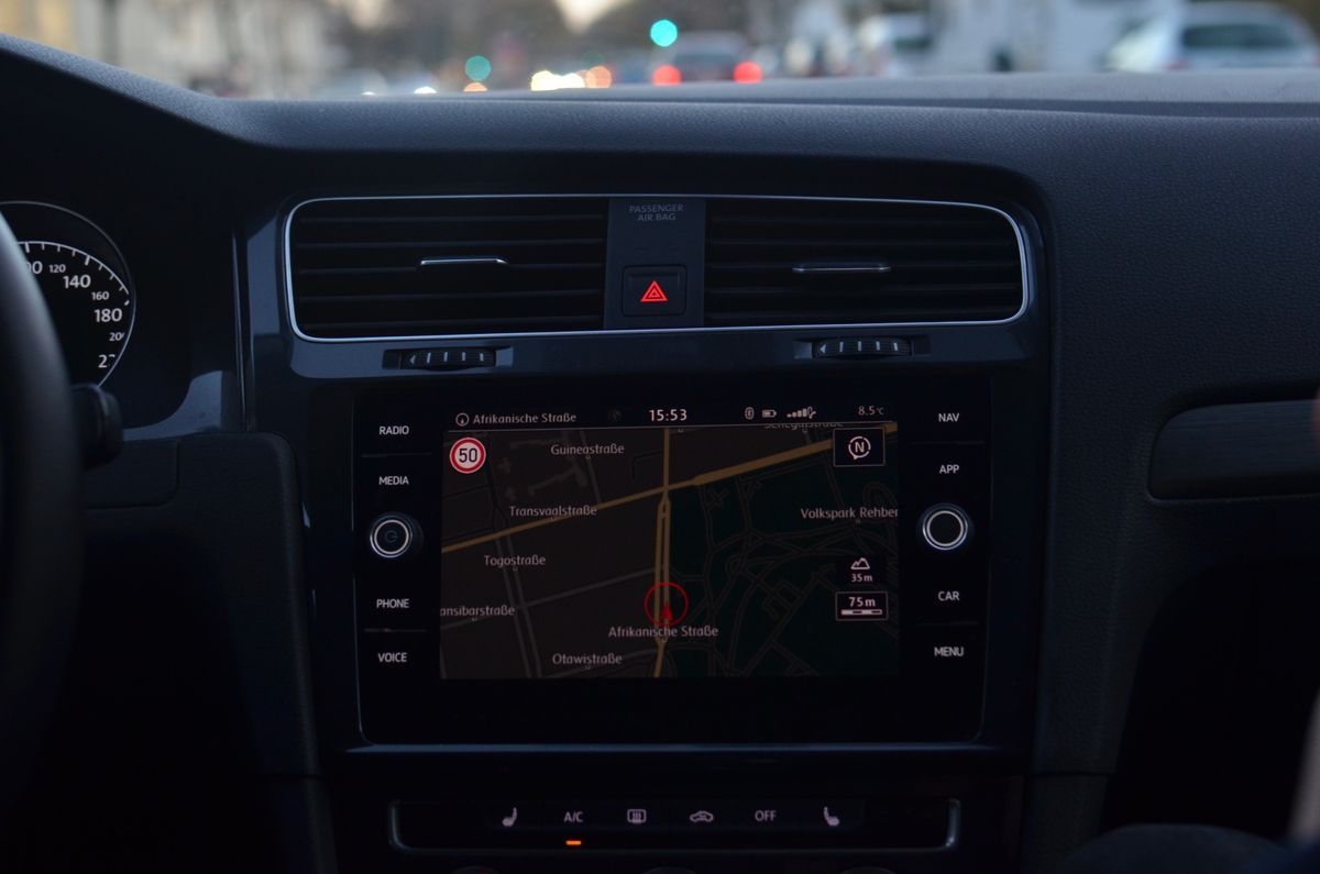
At complex interchanges, Google Maps and Apple Maps both give clear lane guidance with the correct lanes highlighted, and both display the posted speed limit on major roads in supported countries. Waze shows speed limits too and adds a prominent speedometer with an overspeed warning, a feature cautious drivers love, but its lane guidance is thinner and its map, drawn for alerts, is busier at a glance. Apple Maps earns a special mention for its natural language instructions, which reference landmarks and traffic lights ("turn right after the gas station") in ways that measurably reduce last second confusion. In CarPlay, Apple Maps also owns the Dashboard view; on Android Auto, the contest is Google versus Waze, and our Apple Maps vs Google Maps vs Waze comparison covers that three way fight in full.
The Verdicts by Driver
The commuter: Waze as primary, with a caveat. On busy urban highways its alerts save real time and real stress. Keep Google or Apple installed for the day Waze's route makes no sense, which happens, and for any trip beyond the commute.
The road tripper: Google Maps or Apple Maps, downloads ready. Offline planning is non negotiable where coverage dies. Download the whole corridor before departure, and treat Waze as an online only bonus while you have signal.
The multi stop driver: Apple Maps on iPhone, Google Maps on Android. Fifteen stops against nine decides it on iPhone. On Android, Google Maps and a two route split is the workable pattern.
The one app minimalist: Google Maps. It is the only one of the three that is never the wrong answer: good alerts, real offline driving, nine stops, both car platforms. It wins no single axis outright except breadth, and breadth is what a single app is for.
Whichever you choose, do the two minute setup the checklist above describes before your next real drive: download your home region, set your home and work, and learn where your app hides its report button. The best driving app is the one already configured when the brake lights appear.
The Features That Reduce Stress at Highway Speed
Beyond the headline axes, four smaller behaviors separate a calm drive from an irritating one, and they are worth testing on a familiar route before you commit. Rerouting manners. All three apps reroute around new congestion, but they differ in temperament: Waze reroutes eagerly, sometimes chasing minutes into unfamiliar neighborhoods; Google suggests alternates with the time difference stated, leaving the choice to you; Apple reroutes quietly and explains itself least. Commuters develop loyalties here that no specification sheet predicts. Avoidance controls. All three can avoid tolls, highways, and ferries, set per route or as defaults; drivers with a toll road allergy should set it once as a default rather than per trip. Voice behavior. Guidance that plays over Bluetooth and ducks your music politely is standard in all three, but the volume lives in the app's navigation settings, not the car's volume knob, a fact that has generated a thousand roadside searches. The report button. In Waze it is central; in Google and Apple it sits one tap deeper, inside the route card or the pull up menu. Learn its location parked, because the moment it matters, traffic is moving.
A Note for Truck, RV, and Trailer Drivers
None of these three consumer apps knows your vehicle's height, weight, or length, and none will route you around a low bridge or a weight restricted road. Drivers of tall or heavy vehicles need a dedicated truck or RV navigation product whose maps carry restriction data. Using a consumer app in a tall vehicle is the one genuinely dangerous choice in this whole comparison, and no feature on the table above compensates for it.
Reading Your Own Results Honestly
One last driving skill applies to all three apps equally: distrust the first ETA. Every app opens optimistically and revises as traffic proves itself, and the revision pattern is information. An ETA that keeps slipping in five minute steps is telling you the congestion ahead is worse than the model believed; an ETA that holds steady through the first half of a trip usually lands within a few minutes. Drivers who watch the revisions, rather than the headline number, arrive calmer and leave better buffers. The apps also disagree with each other on the same route more often than their marketing suggests, sometimes by ten minutes or more on a cross town drive, because their traffic models weight reports, probe speeds, and history differently. That disagreement is not a bug to arbitrate; it is a range to plan against. Take the pessimist's number when the arrival matters, the optimist's when it does not, and let the checklist pick your app by the axes that do not move: alerts, offline, and stops.
Related Guides
The closest companions to this guide are the map app guides below. Each one picks up a thread this page starts:
- Google Map to Image: Save, Print, Embed, or Generate a Map Picture: Getting a Google map out as an image is four different jobs wearing one search query.
- Download Maps Offline in Waze: The Honest Answer and the Workaround That Works: Waze does not offer a true offline map download, and its own help pages say that without an internet connection you cannot locate or navigate a route.
- How to Add Your Home Address to Google Maps (and Work, Change, or Remove It): Setting Home and Work in Google Maps takes a minute and pays you back every day: one-tap directions, commute times on your home screen, and...
Frequently Asked Questions
Which map app has the most accurate traffic for driving?
Waze, on roads with an active driver community, because its reports come from drivers on that road minutes ahead of you. Google Maps blends Waze reports with its own enormous probe data and is close behind, and it holds up better on quieter roads where Waze has few reporters. Apple Maps uses probe data and reports and is solid in major metro areas.
Can Waze work offline on a road trip?
Not for planning. Waze can continue a route that was started while you had a connection, but it cannot create a new route without signal, and it offers no area downloads. For any trip through low coverage country, download your route areas in Google Maps or Apple Maps as the primary plan and enjoy Waze only while connected.
How many stops can I add in Google Maps and Apple Maps?
Google Maps allows up to nine stops on one route. Apple Maps allows up to fifteen stops. Waze allows one added stop along the way to a single destination. None of the three reorders your stops automatically, so arrange them in a sensible geographic order yourself before starting.
Which driving app shows speed limits?
All three show posted speed limits on major roads in supported countries. Waze adds the most prominent speedometer with an adjustable overspeed alert. Coverage varies by country and road class, so treat the display as a helpful reminder and the road signs as the authority.
Is Apple Maps good enough for long drives now?
Yes. Its offline downloads, lane guidance, speed limits, and clear voice instructions handle long drives well, and on iPhone its CarPlay integration is the smoothest of the three. Its remaining gaps versus Google are business information depth along the route and Street View coverage, not the driving itself.
Which app should delivery and errand drivers use?
On iPhone, Apple Maps, because its fifteen stop limit holds a full errand run in one route. On Android, Google Maps with the list split into two routes of nine or fewer. Serious delivery work with dozens of stops needs a dedicated route planner, since none of the consumer apps optimizes stop order.
Photo credits: Maksim Goncharenok (Pexels); Skylar Kang (Pexels). Photos are served from this site; follow the credit to the library page for the original.