"Best GPS navigation app" lists usually crown one winner, as if a courier, a commuter, and a family crossing three states on holiday all need the same thing. They do not. A navigation app is a bundle of trade-offs: how many stops it lets you chain, whether it works when the signal dies, how good its traffic brain is, and whether it can put directions on your car's screen. This guide compares the six serious contenders on those axes first, then names the right pick for each kind of driver. Read the axis table, find your row in the driver section, and use the checklist at the end to lock the choice in.
Home / GPS and Navigation Guides
GPS Navigation Apps Compared: The Right Pick for Your Kind of Driving
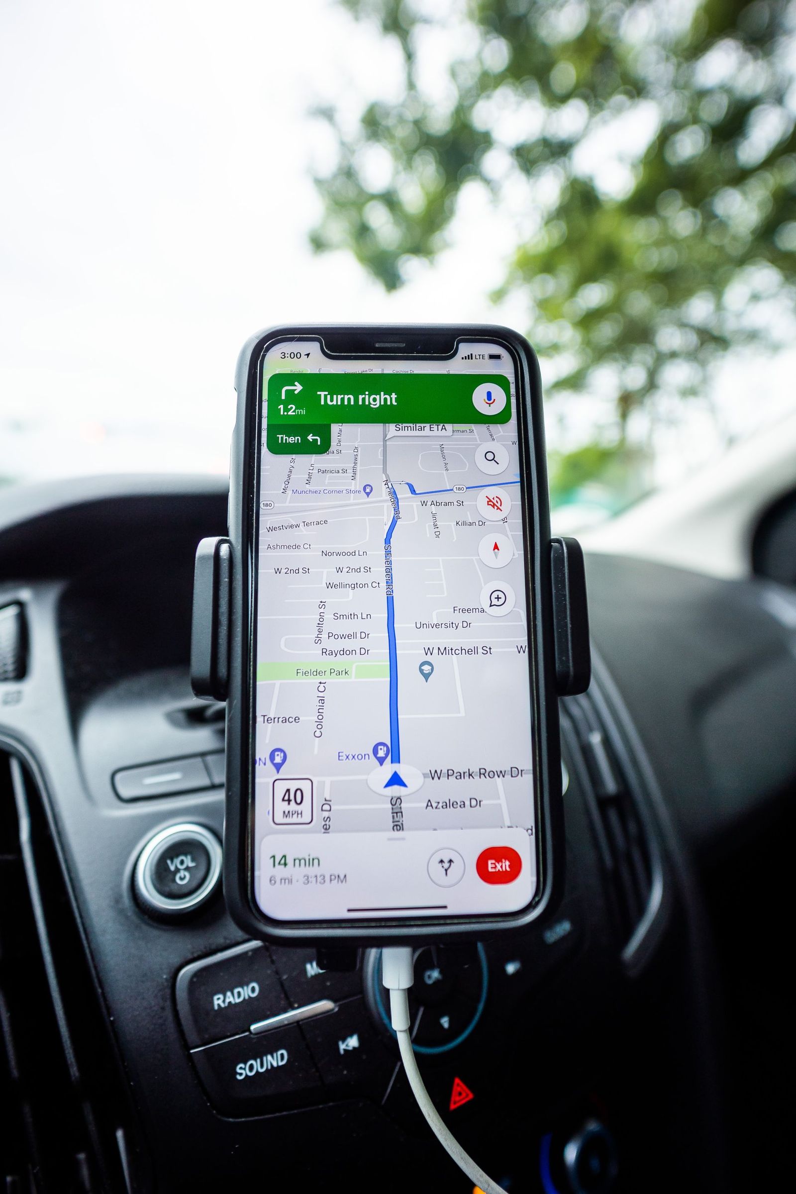
Photo: Caleb Oquendo / Pexels
Interactive tool
GPS Navigation App: Decision Checklist
Check off each step as you finish it. Your progress stays on this page.
0 of 7 complete
0% done
The Six Contenders in One Paragraph Each
Google Maps is the default for a reason: the deepest place database, strong traffic, and navigation on both phone platforms and both car systems. Its weaknesses are a hard cap on multi-stop routes and offline mode that covers driving only.
Waze, also owned by Google, is the traffic insurgent: its drivers report police, hazards, closures, and debris in real time, and its routing reacts fastest to a road that just stopped moving. It needs a connection to shine and its map is a driving-only tool, no walking or transit depth.
Apple Maps is iPhone only, and on iPhone it is now a first-class citizen: calm design, natural landmark-based guidance in supported areas, generous multi-stop allowance, and offline maps since iOS 17. Its place database still trails Google's outside its strongest countries.
HERE WeGo is the quiet professional: free offline maps by region, country, or continent, clean driving interface, and a long history in in-car systems. Its live traffic and place data are a step behind the giants.
Sygic is the premium offline specialist: maps stored on the phone, polished driver aids, and features like head-up display modes, behind a paid tier for full voice navigation. It suits high-mileage drivers who live beyond reliable signal.
Organic Maps is the free, open, privacy-clean option built on OpenStreetMap data: fully offline, no accounts, no ads, no tracking. Its traffic layer is minimal and its place data is only as good as OpenStreetMap's coverage of your area, which in many regions is superb and in some is thin.
The Axes That Decide a Drive
| Axis | Google Maps | Waze | Apple Maps | HERE WeGo | Sygic | Organic Maps |
|---|---|---|---|---|---|---|
| Price | Free | Free | Free (iPhone) | Free | Free tier, paid unlocks voice nav | Free |
| Multi-stop limit | Up to 9 stops | Limited stops | Up to 15 stops | Route via points supported | Supported | Waypoints supported |
| Offline navigation | Driving only, downloaded areas | No real offline mode | Driving, walking, cycling, transit in supported areas (iOS 17+) | Yes, full download by region or continent | Yes, core design | Yes, core design |
| Live traffic strength | Excellent | Excellent, fastest hazard reports | Good and improving | Moderate | Moderate, paid data | Minimal |
| Car screen | Android Auto and CarPlay | Android Auto and CarPlay | CarPlay | Limited | Android Auto and CarPlay support | No |
| Platforms | Android, iPhone | Android, iPhone | iPhone only | Android, iPhone | Android, iPhone | Android, iPhone |
| Place database | Deepest | Driving focused | Strong in rebuilt countries | Moderate | Moderate | OpenStreetMap based |
Two cells in that table decide more purchases than everything else combined. The first is the multi-stop limit: Google Maps caps a route at the destination plus up to 9 stops, which sounds generous until a delivery round, a real-estate viewing day, or a multi-errand Saturday hits the ceiling mid-planning; Apple Maps allows up to 15 stops, and the dedicated offline apps treat waypoints as a normal feature rather than a ration. The second is offline behavior, because a navigation app that dies with the signal is a fair-weather friend. Our full routine for the no-signal case lives in offline maps navigation; here it is enough to know which apps even qualify.
The Right Pick by Driver Type
The commuter. Take Google Maps or Waze. Your war is traffic, and these two see the most of it. Waze wins if your route has enforcement, hazards, and sudden closures you want shouted early; Google Maps wins if your commute mixes driving with a train or a walk at either end, because it chains modes and Waze does not. Set home and work, let the app learn your departure window, and check the ETA before you leave rather than discovering the jam from inside it.
The road tripper. Take Google Maps for planning and discovery, with HERE WeGo or Organic Maps downloaded as the offline insurance policy. Road trips cross the dead zones between cities where online apps become expensive paperweights. Download every state or country on the route before departure, following the buffer rule in our offline maps navigation guide, and the trip stops depending on rural cell towers.
The delivery and errands driver. Take Apple Maps if you are on iPhone, for the 15-stop routes, or a dedicated route planner if stops are your living. Fifteen chained stops with per-stop notes covers most viewing days, courier rounds, and care-visit routes. Beyond that, you have outgrown consumer apps; route optimization software that reorders stops for you is a business tool, and no free app in this list pretends to be it. Our walkthrough of chaining stops in the most common app is Google Maps add a stop.
The privacy-first driver. Take Organic Maps. No account, no ad identifiers, no trip history sold or synced, and the whole map lives on your phone. The trade is real: weaker traffic and patchier business listings. For many drivers that trade is worth it every single day, and the app's walking and cycling navigation is better than its driving reputation suggests.
The international traveler. Take Google Maps for cities and HERE WeGo as the download-ahead companion, or Organic Maps where OpenStreetMap coverage is strong. Roaming data is the tax on online navigation; an app whose maps you downloaded on hotel Wi-Fi pays no tax. If your trip is Android based, our best offline map app for Android comparison audits the free tiers app by app.
The iPhone loyalist who never thinks about maps. Stay with Apple Maps. It is integrated with your messages, your calendar, and your car, its guidance phrasing is the most human of the six, and since iOS 17 it no longer embarrasses itself offline. Switch only if you hit one of its two real walls: a place it cannot find, or a country where its data is thin.
What "Uses GPS" Actually Means for Battery and Data
All six apps position you the same way, from the phone's satellite fix refined by Wi-Fi and cell signals; our explainer on how GPS works covers the satellite side, and does Waze use GPS answers the same question for the app people ask about most. The practical consequences: navigation is one of the hungriest things a phone does, because the screen, the GPS receiver, and the voice never rest. On a drive longer than half an hour, plug in. A vent mount keeps the phone out of dashboard sun, which matters because a hot phone charges slowly and dims its screen precisely when you need to read it. Data use for online navigation is modest, typically a few megabytes an hour for the map and traffic stream, unless you browse photos and reviews at every stop; the offline apps reduce that to zero, which is why does offline maps use data is one of our most-read questions.
Set Up Your Pick Properly (Ten Minutes, Once)
Whichever app won, these one-time steps separate a good experience from a mediocre one. Download your home region for offline use if the app supports it, even if you "always have signal"; tunnels, garages, and rural fringes disagree. Set home and work addresses, and any weekly regulars, as saved places so routing is one tap. Choose your avoidances honestly: tolls, highways, ferries; a wrong avoidance setting is the top cause of "my app takes weird routes". Pick the voice and download it for offline use where offered. Turn on the incident-report and hazard alerts in Waze, or the speed limit display where your app and region support it. Finally, do one familiar drive with the new app before trusting it with an airport run; every app has a personality, and you want to meet it on a route where you already know the way.
A Word on Trucks, RVs, and Motorcycles
Everything above assumes a car, and three kinds of drivers should not take car advice at face value. Truck and RV drivers need vehicle aware routing: height, weight, length, and hazmat restrictions that consumer apps do not know, which is why a bridge strike is so often preceded by a phone confidently saying "turn here". Dedicated truck navigation (from the commercial GPS makers and specialist apps) exists for this reason, and no app in this comparison is a substitute for it. Motorcyclists have the opposite desire: not the fastest route but the most interesting one, plus glove-friendly interfaces and weather awareness; several apps in this list offer curvy-road routing modes, and the offline specialists matter more, because the best riding roads live where signal goes to die. Cyclists and e-bike riders should leave this list entirely for the bicycle aware apps, whose routing understands paths, elevation cost, and roads a bicycle may not use. The general lesson is the one this guide opened with: navigation apps are bundles of assumptions about the vehicle and the trip, and the best app is the one whose assumptions match yours.
Related Guides
The closest companions to this guide are the GPS and navigation guides below. Each one picks up a thread this page starts:
- GPS Navigation App Free: What Is Actually Free, and What the Free Tier Paywalls: Most navigation apps are free to download and free to drive with, but the free tiers differ exactly where it hurts: voice guidance, offline maps,...
- Phone Location Wrong Country: When GPS Says Home and Your Apps Say Abroad: A phone can be right and wrong about its country at the same time, because it keeps two locations: the GPS position, computed from satellites, and...
- How GPS Works on Apple Watch: Built-In Reception, the iPhone Handoff, and Dual-Frequency Ultra: Every Apple Watch since Series 2 carries its own GPS receiver, yet when your iPhone is nearby the watch often lets the phone do the positioning...
Frequently Asked Questions
What is the best free GPS navigation app?
For most drivers, Google Maps: free, deep data, strong traffic, both car systems. If free must also mean fully offline, Organic Maps is completely free with no paid tier, and HERE WeGo's offline downloads are free too. Sygic is the exception in this list: its free tier limits voice-guided navigation, and the full experience is a paid unlock.
Which navigation app allows the most stops?
Of the mainstream apps, Apple Maps allows routes with up to 15 stops, while Google Maps caps at up to 9 stops plus your final destination. Dedicated offline apps like HERE WeGo and Sygic handle waypoints generously. If you regularly chain more stops than that, you need a route planner that also optimizes the order, which is a different product category.
Which navigation app works best without internet?
HERE WeGo, Sygic, and Organic Maps are built offline-first: download the region once and navigation, search of downloaded data, and routing all work in airplane mode. Apple Maps since iOS 17 downloads areas with driving, walking, cycling, and transit routing in supported regions. Google Maps offline covers driving only and cannot reroute around traffic it cannot see.
Is Waze or Google Maps better for traffic?
They share an owner and much data, but Waze's driver reports surface police, hazards, and closures faster, while Google Maps blends a larger passive traffic stream and handles multi-mode trips. Commuters on a single driving route often prefer Waze; anyone chaining driving with transit or walking should take Google Maps. Running both on the same commute for a week is the honest way to choose.
Do navigation apps work on my car's screen?
Google Maps and Waze support both Android Auto and Apple CarPlay. Apple Maps is CarPlay only, which is automatic since it is iPhone only. Sygic supports both car systems in its paid tier. Organic Maps does not project to car screens, the clearest consequence of its minimalist, privacy-first design.
Will a navigation app drain my battery?
Yes, faster than almost anything else on the phone: screen, GPS, data, and voice run continuously. Expect noticeable drain on any drive over thirty minutes and plug into the car. Keeping the phone shaded and cool matters too, because an overheated phone charges slowly and may dim the display mid-route. Downloaded offline maps reduce the data radio's work and help a little.
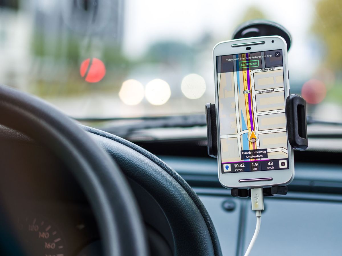
Photo credits: Caleb Oquendo (Pexels); Pixabay (Pexels). Photos are served from this site; follow the credit to the library page for the original.