Every map app works offline in the trivial sense that a screenshot works offline. OpenStreetMap works offline in the serious sense: the data is downloadable, legally and completely, so the map on your phone in a dead zone can be the full map, searchable, routable, and current as of your download. That property makes OSM the backbone of offline navigation for hikers, aid workers, field researchers, and travelers in countries where a data plan is a luxury. This guide covers the three ways to take it offline: through the dedicated apps, through extracts on a computer, and as a field data workflow where you collect first and sync later. The checklist above is the field audit; the architecture underneath it, how offline storage and routing work in general, is our offline maps app explainer, and the consumer download flow for Google Maps is a different world covered in how to download offline maps.
Home / GIS and Open Map Data for Beginners
How to Use OpenStreetMap Offline: Apps, Extracts, and Field Editing Without a Signal
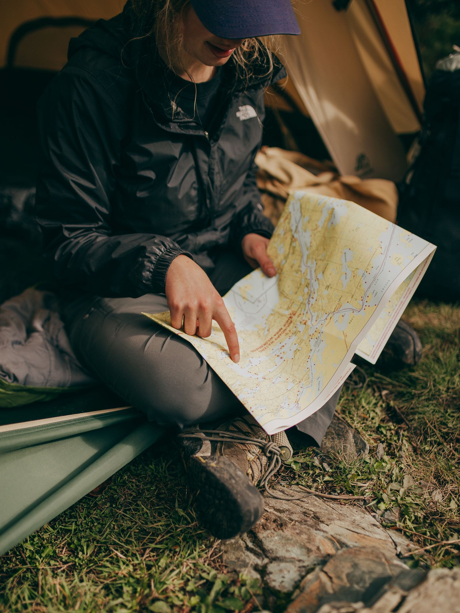
Photo: Josh Hild / Pexels
OSM Offline: The No Signal Audit
Check off each step as you finish it. Your progress stays on this page.
0 of 6 complete
0% done
Route One: The Apps, Where Most People Start
Three apps define the category, all rendering OpenStreetMap data from downloaded region files. OsmAnd is the maximalist: region downloads by country and province, contour lines and hill shading, route profiles for car, bicycle, pedestrian, and public transport, track recording, and a plugin system; its free tier limits the number of map downloads, with the paid tier removing the ceiling. Organic Maps is the minimalist heir of Maps.me: whole country downloads, fast rendering, driving, cycling, and walking navigation, no account, no ads, no tracking, a privacy posture that is itself a feature. CoMaps is the community fork of Organic Maps, carrying the same simplicity forward under open governance. The shared workflow is the one our architecture guide predicts: install, download your regions on Wi-Fi (they are vector files, so a country is hundreds of megabytes, not gigabytes), then run the airplane mode test at home: search a hotel by name, route across town, reroute on purpose, zoom to the trailhead. All three apps search and route entirely on device. Choosing among them is a temperament question, features versus calm, and our best offline map app roundup scores the wider field, with the trekking roundup judging the trail specialists.
Route Two: Extracts on a Laptop, for Field and Desk Work
The apps serve navigation; the extract route serves work. Download a region file, from Geofabrik or another provider in the pattern of our how to use OpenStreetMap data guide, and a laptop running QGIS reads it with no connection at all: the extract is a local file, the GIS is local software, and the field station is complete. This is the setup of survey teams, researchers, and humanitarian mapping operations in places where connectivity is the scarcest resource on the packing list. Prepare it like the apps: download at base while bandwidth exists, load and style the layers before departure, and carry the raw extract as well as the styled project, because a corrupt project file in the field is recoverable from the raw data and not the reverse. Storage is cheap and vector data is compact; the expedition that skimped on downloads to save disk space is a story told with regret. The same files feed offline routing engines and tile renderers for teams building their own field systems, which is where the category shades from use into infrastructure.
Route Three: Collect Offline, Upload Later
OpenStreetMap's data cycle works offline too, with a delay built in. In the field, you collect: GPS tracks from a phone or a dedicated logger, notes and photos pinned to positions, and edits drafted in an offline capable editor. JOSM, the desktop editor, is built for this rhythm: download the area's data before departure (or work from your extract), edit offline against that local copy, and when a connection returns, upload, at which point JOSM checks for conflicts with anything other mappers changed in the same area meanwhile. Mobile editors vary in offline depth, so the conservative field pattern remains: record tracks and notes offline with generous descriptions, then do the careful editing at base in JOSM or the web editor, where the full data and imagery are in front of you. Field Papers deserves its own sentence: it prints a paper atlas of the area with a scannable code on each page; you draw and annotate on paper in the field, and back at base the scanned page georeferences your ink onto the map. For group surveys and low tech contexts it is not a nostalgia act; it is the most robust field interface ever built for this data.

The Staleness Contract
Offline data is a photograph of a living database, and the photograph ages at the speed the world changes. A road closure from last month, a cafe that opened last week, a trail rerouted after a storm: none of it is in your file. The apps manage the contract with update cycles, region files refreshed roughly monthly in the OSM app ecosystem, offered as downloads when you are back on Wi-Fi. Your duties under the contract are three: refresh before any trip that depends on the data; note the download date of the files you carry, so a discrepancy in the field is read correctly as "my map is from October" rather than "the map is wrong"; and feed corrections back when you find them, because the offline user's field knowledge is exactly what the database cannot get from satellites. Staleness is not a defect of the offline route. It is the price term of the independence you bought, stated in the contract you just read.
Offline Honesty: What Still Will Not Work
Name the limits so they do not ambush a trip. Live traffic does not exist offline, in OSM apps or any others; traffic is other people's present tense. Search breadth is the downloaded index and nothing more: places outside your regions are not findable, and spelling variants the index does not know will miss. Imagery is not part of the standard downloads; the editor's satellite backdrop and the apps' photo features need a connection or a separate, heavy raster preparation. Fresh business details, hours, reviews, menus, live outside the OSM model even online, and offline they reduce to whatever tags the downloaded data carries. And position is the honorable exception: GPS works with no signal at all, as our how does GPS work without internet guide explains, so the blue dot keeps moving across your downloaded map in the deepest dead zone on the continent. Plan around the four limits and the exception carries the navigation.
Storage and Battery: The Field Budget
Two budgets govern offline fieldwork, and both are plannable at home. Storage is the easy one: vector region files run to hundreds of megabytes per country, so a season of countries fits in a few gigabytes; carry the neighboring regions too, because borders are where trips improvise, and keep the raw extracts for laptop work backed up in two places, since a field laptop is a dropped, rained on, stolen class of object. Battery is the budget people forget. A phone navigating with the screen on and GPS tracking continuously is spending its fastest dollars; a full day of track recording can empty a healthy phone by afternoon. The field doctrines are standard because they work: screen off with voice guidance or glance checks instead of a permanently lit map, airplane mode on (which the offline setup makes free, and which stops the phone burning power hunting for a network that is not there), track recording intervals lengthened when precision allows, and a power bank treated as navigation equipment, not an accessory. The kit list in the next section assumes both budgets were planned; an offline system that dies at 3 p.m. is an online system with extra steps.
Putting It Together: The Field Kit
A working offline OSM kit, assembled once, looks like this. Phone: one maximalist app (OsmAnd) with your regions and one simple app (Organic Maps or CoMaps) as the fast second opinion, both airplane mode tested on your actual ground. Laptop, if the trip is work: QGIS, the region extract, JOSM, and a Field Papers atlas printed for the survey area. Habits: refresh downloads on the last good Wi-Fi, record the data dates, collect tracks and notes generously, upload edits and corrections when the signal returns. That kit has navigated expeditions, disaster responses, and ordinary family road trips through dead zones on every continent, built entirely from data that a commons maintains and gives away. The remaining piece of the ecosystem, the web services side, is our how to use OpenStreetMap API guide; offline, there is no API, and that is precisely the point.
Related Guides
If this page answered part of the question, these GIS and open map data guides cover the rest of the same ground:
- QGIS Join Attributes by Field Value: Attach a Table to Your Layer by a Shared Key: A field-value join is a spreadsheet lookup for maps: match rows in a table to features in a layer by a shared key, a code, a name, an ID, and the...
- Geocoding in QGIS: Turn a Table of Addresses Into Points With MMQGIS: Every spreadsheet of addresses is a map waiting to happen, and geocoding is the machine that makes it: street, city, and country in, points on the...
- QGIS Hillshade: Turn a DEM Into Readable Terrain, and Fix the Z-Factor Trap: A hillshade fakes sunlight across a DEM so terrain reads at a glance: ridges, valleys, and scarps pop out of what was a flat gray ramp.
Frequently Asked Questions
Which app is best for using OpenStreetMap offline?
OsmAnd for maximum features (contours, profiles, plugins), Organic Maps or CoMaps for speed, simplicity, and privacy. All three download whole regions, search and route entirely on the phone, and pass the airplane mode test. The right choice is temperament; the wrong choice is any app whose downloads you never tested offline.
How much storage do offline OpenStreetMap regions take?
Because the apps use vector data, a country typically takes a few hundred megabytes, varying with mapping density: a densely mapped European country is larger than a sparsely mapped one of similar size. Whole continents are feasible on modern phones, which is not true of raster based downloads.
Can I edit OpenStreetMap without an internet connection?
Yes, with the collect now, upload later pattern. Record GPS tracks and notes in the field, edit offline in JOSM against a previously downloaded copy of the area's data, and upload when a connection returns; JOSM checks for conflicts with edits others made meanwhile. Field Papers supports the paper based version of the same workflow.
How current is offline OpenStreetMap data?
As of your download. The apps offer refreshed region files on roughly monthly cycles, and you should update before trips that depend on the data. Your downloaded file will not know about closures or openings after its date, which is the standing trade for independence from the network.
Does GPS positioning work in these apps with no signal?
Yes. Positioning comes from GPS satellites, which the phone only receives; no network is involved. The offline app plots that live position on its stored map. What the network would have added is fresh data and traffic, not your location.
Photo credits: Josh Hild (Pexels); Maël BALLAND (Pexels). Photos are served from this site; follow the credit to the library page for the original.