Ask a map for its water and you are asking two different questions that share a color. Where does water flow: the rivers, streams, canals, and drains that thread a landscape. And where does water stand: the lakes, reservoirs, and ponds that fill its basins. OpenStreetMap keeps the two apart with a tidiness worth learning: flowing water is drawn as lines and tagged with the waterway key, whose value names the kind of channel; standing water is drawn as areas and tagged natural=water, with the water key refining what kind. This guide teaches the flowing half as a complete system: the value ladder from river to ditch and what actually separates its rungs, the working structures, dams, weirs, locks, that ride along, the flow regime tags that say whether the water is always there, and the way extract services such as Geofabrik classify the family into the layers GIS users download. It is the tag-family pattern this site applies to speed limits and opening hours, turned on the oldest subject in cartography.
Home / GIS and Open Map Data for Beginners
OpenStreetMap Waterways: The waterway Key Family, from Rivers to Drains
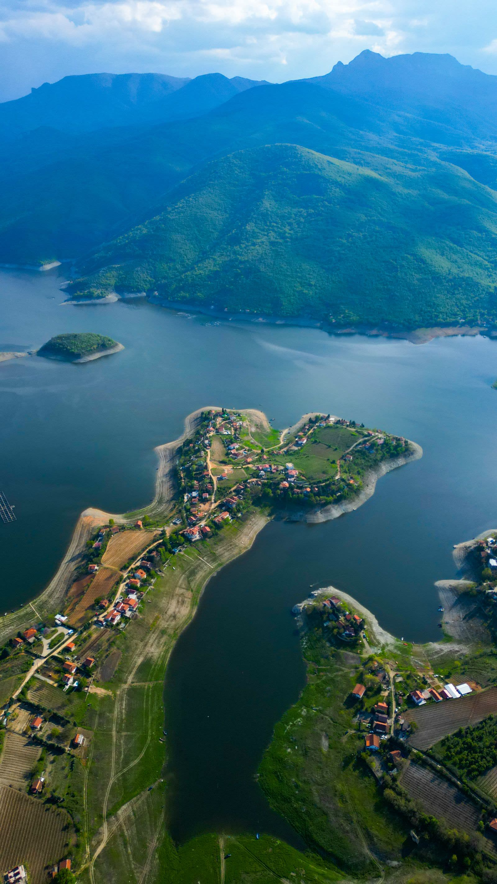
Photo: Don Mago / Pexels
Class the Channel Honestly: The Waterways Checklist
Check off each step as you finish it. Your progress stays on this page.
0 of 7 complete
0% done
The Value Ladder: River, Stream, Canal, and Down
The waterway key's main values form a ladder of size and origin, and the distinctions are practical rather than poetic. A river is the large natural watercourse, wide enough that its banks are a landscape feature; where a river is wide, the convention pairs the centerline waterway with a natural=water area tagged as river water, line carrying the flow and name, area carrying the surface. A stream is the smaller natural watercourse, the field test in community practice being roughly whether a person can jump across it, a charmingly physical threshold that keeps the class honest. A canal is artificial: a channel built for navigation, irrigation, or drainage at scale, drawn as a line and often accompanied by its locks and towpaths. Below those, the drainage family does the unglamorous work: a drain is a constructed channel, usually lined, carrying collected water away; a ditch is its smaller, simpler cousin, the unlined scrape along a field or road. The ladder matters because consumers trust it: renderers weight lines by class, hydrology tools build networks from the classes, and a ditch promoted to a stream by an optimistic mapper pollutes every analysis downstream, literally. Tag the channel you are standing at, at the rung its size and construction earn.
Lines and Areas: The Two Geometries of Water
The family's central modeling rule deserves its own emphasis: flow is a line, surface is an area, and wide water is both. A stream is a line and nothing else; its width is an attribute the line may carry, not a polygon. A lake is an area and nothing else; no waterway line crosses it unless a real channel does. A substantial river is the deliberate pair: the area polygon for the water's surface, the waterway line down its course for the flow's path and the name's placement, the two related so consumers can take either view. Beginners break the rule in both directions, drawing every brook as a ribbon of area (unmaintainable, and wrong at every bridge) or reducing a reservoir to its inlet's line (losing the water entirely). The rule also explains the family's rendering: map styles draw areas as filled water and lines as threads of it, so a correctly modeled valley shows the lake's sheet and the thread entering and leaving it, which is both the truth and the picture readers expect.
Flow Regimes: Intermittent, Seasonal, and the Honest Dry
A channel's existence and its water are separate facts, and the family tags them separately. intermittent=yes marks waterways and water areas that regularly run dry for part of the year, the desert wash, the summer-vanishing brook, the reservoir drawn down to mud. seasonal refines the pattern where the wet period follows a named season. These tags are safety-relevant data wearing humble clothes: a hiker planning around a stream that flows in April and not in August is reading intermittent tagging as a promise, and a renderer that draws an intermittent stream with the same confident blue as a perennial river is telling a lie the tags existed to prevent. The mapping discipline follows: a channel observed dry is not thereby absent, and a channel observed wet once is not thereby perennial; tag the regime you have evidence for, and let the absence of a regime tag mean unknown rather than always, which is how careful consumers read it.
Structures: Dams, Weirs, Locks, Tunnels, Culverts
Water infrastructure rides the same key with its own values, and three situations recur. waterway=dam and waterway=weir mark the barriers: the dam as the substantial structure holding a reservoir, the weir as the low step across a channel that regulates flow and aerates water, each drawn where the structure stands and each explaining the water levels around it. Locks on canals carry their own tagging so navigation consumers can find the staircase a boat must climb. And where water disappears, the tunnel and culvert refinements take over: a stream passing under a road in a culvert, or through a hillside in a tunnel, is tagged with the appropriate tunnel=culvert or related form on the buried segment, which keeps the network connected for hydrology while telling renderers not to draw water across the road's surface. Connectivity is the quiet theme: a waterway network with its culverts tagged is a graph an analyst can run downhill; the same network with gaps at every road is a drawing. The family's tags are how a map of water becomes a model of it.
The Extract View: Layers and Feature Classes
Most GIS users meet this family pre-classified, in the layers of extract services, and the Geofabrik GIS format documentation is the clearest window into how the classification lands: its waterways layer carries the linear family as features whose class column derives from the waterway value, river, stream, canal, drain, and their kin, each row holding the type, the name, and the intermittent flag as attributes a GIS can filter on. Other guides and download tools, GoGIS's layer documentation and the Overpass-based extractors among them, present the same shape: waterways as a first-class layer beside roads and buildings, not a garnish. The lesson for data users is that the tag family's discipline upstream becomes the layer's reliability downstream: the class column is trustworthy exactly where mappers kept the ladder's distinctions, and an extract is a photograph of the community's care. For mappers, the arrow points the other way: every waterway you tag well is a row in a thousand future analyses, labeled with the class you chose.
Walking a Valley: The System in One Place
Trace one valley with the whole family in hand. In the hills, a stream, intermittent in its highest reach where summer takes it. It passes under the lane in a culvert segment, tagged so the network survives the road. A weir steps it down beside the old mill; below, joined by a drain carrying the fields' collected water and a ditch along the track, it widens into a small river, line and area paired, until the dam holds it into a reservoir, natural=water with its own name, from which the canal draws off toward the town. Every element of that paragraph is a tag in the family, and a dataset that models the valley this way can answer questions a drawing cannot: what flows where, what dries when, what a boat, a fish, or a flood would meet. That is the waterway system's point, and it is achieved one correctly-runged channel at a time.
Names and Wholeness: The River as One Thing
A stream is a segment; a river is a biography, and OpenStreetMap has machinery for the biography. Long watercourses are gathered into waterway relations, which collect a river's many way segments, its main stem and side arms, under one object carrying the river's name and its reference identifiers, so consumers can ask for the whole Thames rather than four thousand fragments that share a name string. The discipline underneath is segment hygiene: consistent name tagging along a course, sensible segment breaks at confluences and name changes, and flow direction respected in the ways' orientation, since a network's downhill reasoning depends on lines that know which way the water goes. Tributaries join at nodes that both lines share, a topological courtesy that network tools require and casual drawing omits. None of this is visible on the rendered map, whose blue thread looks identical either way, which is precisely why it separates the dataset's drafts from its reference work: the river as one named, connected, correctly-flowing object is an achievement of modeling, and the waterway family's tags and relations are where it is recorded.
Water in the Renderer and the Field
Two closing views of the family at work. On the rendered map, the waterway classes are the difference between a blue tangle and a readable drainage: rivers arrive early and wide, streams thread in as you zoom, drains and ditches whisper at the closest scales, and intermittent lines are dashed or paled by styles that respect the tag, so a dry season's map does not promise wet crossings. In the field, the family's tags are the surveyor's checklist: walk the channel, name its class by size and construction, note its regime honestly, tag the culvert where the road swallows it, and the desk work of a hundred strangers becomes possible. Between those views sits the whole argument of this guide: a small vocabulary of values, applied consistently at the water's edge, compounds into the world's most complete public hydrography, one correctly classed stream at a time.
For data consumers arriving from GIS rather than from mapping, one habit completes the picture: filter an extract by class before you analyze, because a network built from every waterway value at once, ditches with rivers, culverts with canals, answers questions nobody asked. The classes exist so the network can be scoped; use them.
Related Guides
If this page answered part of the question, these GIS guides cover the rest of the same ground:
- OpenStreetMap Speed Limits: The maxspeed Tag System: The sister key family, taught with the same completeness.
- OpenStreetMap Tags: The Grammar of the Database: The key and value grammar both families speak.
- QGIS Topographic Map: From DEM to a Finished Sheet: Where water data becomes the blue thread of a terrain sheet.
- OpenStreetMap Power Lines: The power Key Family: The other great linear network in the database.
Frequently Asked Questions
What is the difference between a river and a stream in OpenStreetMap?
Size and presence. A river is the large natural watercourse, often paired with a water area for its surface; a stream is the smaller natural channel, in community practice roughly jumpable across. Canals are artificial channels, drains and ditches the smaller constructed drainage family.
How is a lake tagged, if not with waterway?
As an area with natural=water, refined by the water key (lake, reservoir, pond, and others). The waterway key is for flowing water drawn as lines; standing water is area geometry under natural=water.
What does intermittent=yes mean on a waterway?
That the channel regularly runs dry for part of the year. It is essential honesty for hikers and analysts: the line exists, the water is part-time. Seasonal tags refine the pattern where the wet period follows a season.
How are culverts and tunnels handled?
The buried segment keeps its waterway tag and gains tunnel tagging (such as tunnel=culvert for a road culvert), which keeps the hydrological network connected while telling renderers not to draw water across the surface above.
How do extract services present waterways?
As a first-class layer: Geofabrik's format, for example, carries a waterways layer whose class derives from the waterway value, with name and intermittent status as attributes, ready to filter in a GIS.
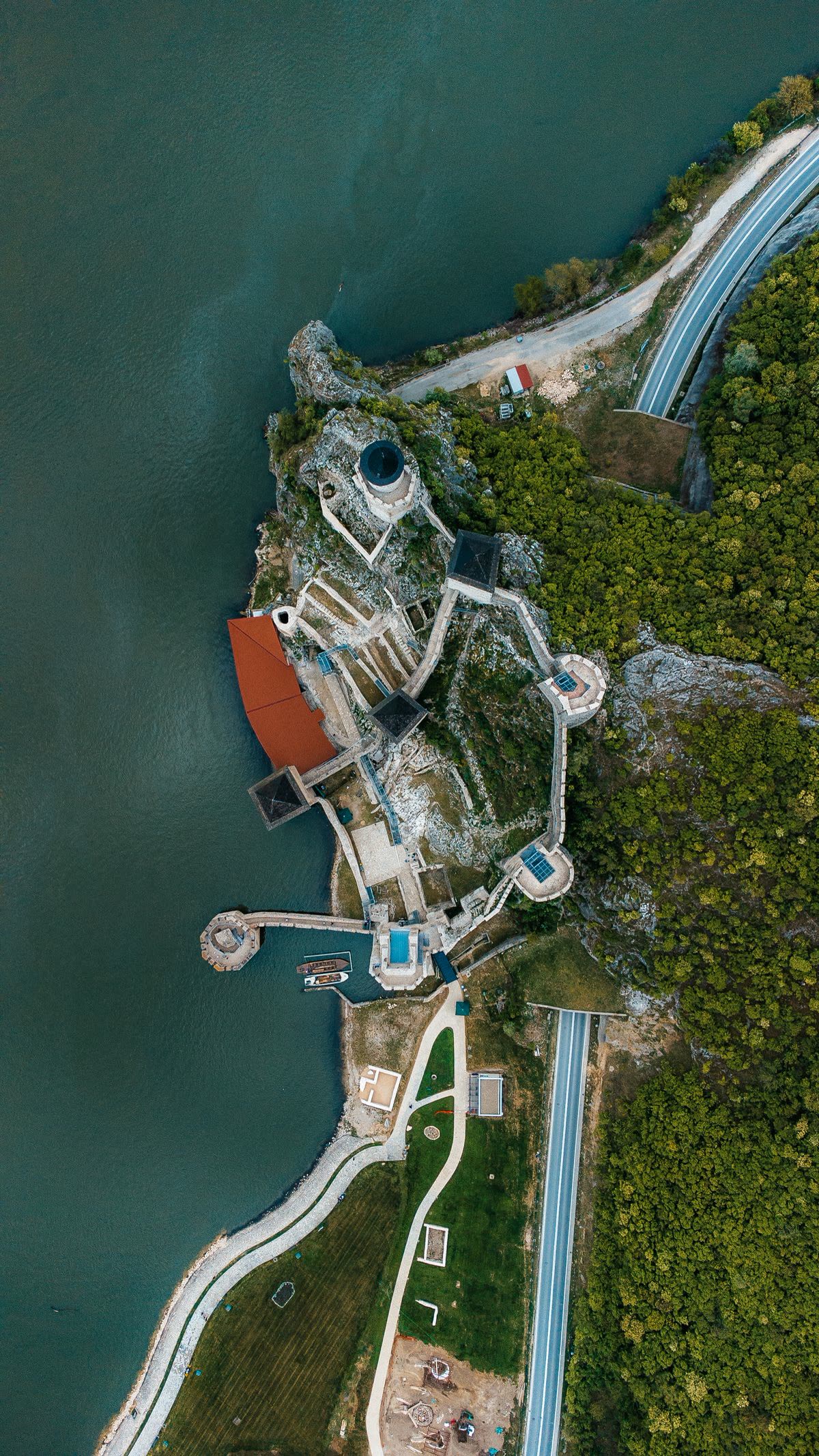
Photo credits: Don Mago (Pexels); Nikola Kojević (Pexels). Photos are served from this site; follow the credit to the library page for the original.