Beginners meet the names in one breath, "a map with OpenStreetMap and Leaflet", and reasonably assume they are rivals, like two map providers. They are not. OpenStreetMap is data: a community built database of roads, buildings, and places, licensed for reuse. Leaflet is code: an open source JavaScript library, about 42 KB gzipped, that renders interactive maps in web pages. Leaflet contains no map of anywhere; OpenStreetMap contains no way to display itself in your page. Most web maps you have ever used quietly combine the two, which is why this comparison exists: not to crown a winner, but to give you the right shopping list. The sibling comparison, data versus hosted platform, is openstreetmap vs mapbox.
Home / GIS and Open Map Data for Beginners
OpenStreetMap vs Leaflet: Data vs Library, the Distinction That Ends the Confusion

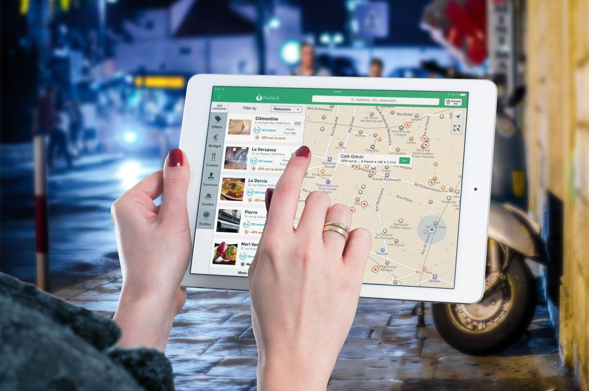
Photo: Daniil Komov / Pexels
Interactive tool
Data or Library: Which One Are You Missing
Check off each step as you finish it. Your progress stays on this page.
0 of 6 complete
0% done
What OpenStreetMap Is, and Is Not
OpenStreetMap is a project and a database: volunteers worldwide survey and trace the world's geography into nodes, ways, and relations with tags, stored in one open database and published under the Open Database License (ODbL). From it you can download raw data (the subject of openstreetmap download), query features through services like Overpass and Nominatim, and render tiles, the pre drawn map images that web pages display. What OSM does not give you is any software for your website: no viewer, no controls, no markers. Its tile servers are a community resource with a tile usage policy, fine for modest use with attribution, not a free CDN for a hit product. Think of OSM as the flour: essential, open, and not yet bread.
What Leaflet Is, and Is Not
Leaflet is a JavaScript library by Volodymyr Agafonkin and contributors, released under the permissive BSD 2 Clause license, designed to do one job superbly: an interactive, mobile friendly map control in a web page. Pan, zoom, markers, popups, GeoJSON layers, and a plugin ecosystem for everything from clustering to drawing tools. It weighs about 42 KB gzipped in its current 1.9 series, a fraction of the hosted platform SDKs, and it is agnostic about data: it will happily display OpenStreetMap tiles, a commercial provider's tiles, satellite imagery, your own rendered tiles, or no tiles at all under a floor plan image. What Leaflet cannot do is supply the geography: point it at nothing and your beautiful interactive map shows a gray void with excellent zoom controls. Think of Leaflet as the oven: it bakes whatever dough it is handed.
The Standard Stack: How They Combine
The classic recipe is a page that loads Leaflet, then adds a tile layer pointing at OpenStreetMap's tile servers:
```
var map = L.map('map').setView([51.505, -0.09], 13);
L.tileLayer('https://tile.openstreetmap.org/{z}/{x}/{y}.png', {
attribution: 'Map data (c) OpenStreetMap contributors'
}).addTo(map);
```
Three lines, one map. The attribution is a license requirement, not a courtesy. From here, your own data joins as GeoJSON layers with markers and popups, which is where most projects actually live; our how to use openstreetmap in website guide builds this stack out fully. Swap the tile URL for another provider and nothing else changes, which demonstrates the separation better than any diagram: Leaflet stayed, the data changed, because they were never the same layer of the stack.
Costs, Licenses, and Limits, Side by Side
OpenStreetMap data costs nothing and is licensed ODbL: use it commercially, credit the contributors, and share alike applies to derived databases you publish. Its tile servers are the constrained resource: the usage policy forbids bulk downloading, heavy scraping, and unattributed use, and a popular site should render its own tiles or pay a tile host, a normal and inexpensive step. Leaflet costs nothing under BSD 2 Clause, with no share alike and no attribution requirement beyond its license notice, and imposes no limits at all, being a file you serve yourself. The practical budget of the combined stack is therefore: zero at hobby scale, and at product scale, money spent on tiles and hosting, never on the library. Confusing the two leads to the classic budgeting error of pricing Leaflet (free) and forgetting the tiles (the actual meter running).
When You Need One, the Other, or Neither
You need OSM data when your project needs geography it can download, query, and keep: analysis, offline apps, custom rendering, research, the world of how to use openstreetmap data. You need Leaflet when a human must explore a map in a browser and you want a light, free, provider neutral viewer. You need both for the standard open web map. You might need neither: a native app may use a platform SDK's map view, a data pipeline may never draw anything, and a project locked to a commercial provider's terms may take its viewer and its data from the same vendor, which is the trade openstreetmap vs google maps weighs. The checklist above turns this into a two question test: are you missing data, or are you missing a viewer? Every confused project this guide has ever seen was missing one and shopping for the other.
The Confusion, and Why It Persists
The category error survives because the two names travel together through every tutorial, and because "OpenStreetMap" sounds like a product you install while "Leaflet" sounds like a map brand. Vendors encourage the blur: hosted platforms sell data and viewer as one subscription, so a generation of developers met maps only as a single commercial bundle and never saw the seam. The seam matters practically, not just philosophically. When a project stalls, the diagnosis differs completely by layer: a map that shows the wrong town has a data or center problem; a map that will not zoom smoothly has a viewer problem; a map that goes gray at scale has a tile supply problem, which belongs to neither name in this article's title and is where most real world pain lives. Teams that cannot separate the layers debug by swapping everything at once and learn nothing. Teams that can, replace one layer at a time: same viewer, different tiles; same data, different renderer; and the fault confesses.
A Short History That Explains the Pairing
OpenStreetMap began in 2004 as a project to map the world by volunteers, because the map data that existed was locked behind licenses and prices. Leaflet arrived in 2011, written by Volodymyr Agafonkin, because the web map viewers of the day were heavy and the mobile web needed a light one. Neither was built for the other, and that independence is precisely why they compose so well: the data project never had to bless a viewer, and the viewer never had to wait for a data partner. The pairing became the default open stack through thousands of tutorials making the same three line choice shown above, until "Leaflet with OSM tiles" turned into a single mental object. Knowing they are two objects again is most of what this comparison exists to restore. The data side's own family tree, editors, downloads, and the main site, is mapped in openstreetmap editor and the surrounding GIS guides.
The Alternatives in Each Chair
Seeing the two chairs separately also clarifies the substitutes, because replacements exist per layer and are not interchangeable. In the viewer chair, Leaflet's rivals are MapLibre GL (vector tiles, WebGL smoothness, a steeper learning curve), OpenLayers (the full featured veteran, heavier and more GIS native), and the hosted SDKs, which bundle a viewer with their own data and terms. In the data chair, OpenStreetMap's rivals are the commercial providers' datasets, national mapping agency data, and your own surveyed data, which for a single building, campus, or event may beat every public source. A project can swap either chair without touching the other, and knowing which chair a problem sits in is the whole diagnostic art: blurry labels are a data or rendering choice, sluggish panning is a viewer or tile format choice, and a missing town is data, full stop. Beginners swap the viewer to fix the data and the data to fix the viewer; this article exists so you never have to.
Related Guides
This guide does not stand alone. The GIS and open map data guides below take up the questions it leads into:
- OpenStreetMap Building Footprints: Extract Them by the Route That Fits Your Area: Building footprints are the most requested single feature in OpenStreetMap, and the extraction route depends entirely on how much ground you need:...
- How to Draw a Polygon in QGIS: Digitizing a Boundary That Closes Cleanly: Drawing a polygon is the moment a QGIS user stops consuming maps and starts making them: a field boundary, a study area, a zoning line, traced...
- Add a Point by Coordinates in QGIS: Exact Placement With the Digitizing Panel: Clicking a point onto a map is an estimate wearing a costume.
Frequently Asked Questions
Is Leaflet the same as OpenStreetMap?
No. OpenStreetMap is a database of geographic data maintained by contributors. Leaflet is a JavaScript library for displaying interactive maps in a browser, and it contains no data. The two are commonly used together: Leaflet displays tiles rendered from OpenStreetMap data.
Does Leaflet cost money or need an API key?
No. Leaflet is free and open source under the BSD 2 Clause license, with no keys, accounts, or usage limits, because it is a file your own site serves. What can cost money at scale is the tile data you display with it, if you outgrow the community tile servers and move to a tile host or self rendering.
Can I use OpenStreetMap without Leaflet?
Yes. The data stands alone: download it, query it with Overpass, geocode with Nominatim, analyze it in Python or QGIS, or display it with a different viewer such as MapLibre GL or OpenLayers. Leaflet is one popular display option, never a requirement for using the data.
Can I use Leaflet without OpenStreetMap?
Yes. Leaflet displays any tile source or image overlay: commercial providers, satellite imagery, your own rendered tiles, even a building floor plan. Point the tile layer URL elsewhere and the library behaves identically. Many production Leaflet maps never touch OSM tiles.
Which one do I need for a map on my website?
Both, in the usual case: Leaflet (or another viewer library) to draw the interactive map, and a data source to draw, most simply OpenStreetMap tiles with attribution. If traffic grows, keep Leaflet and upgrade the tile supply; the viewer is rarely the part that needs replacing.
Photo credits: Daniil Komov (Pexels); Pixabay (Pexels). Photos are served from this site; follow the credit to the library page for the original.