The short answer is yes: OpenStreetMap data is free, legally, for personal and commercial use alike. But "free" in open data is a license, not an absence of rules, and the people who get into trouble with OpenStreetMap are the ones who never read the license's three working parts. This guide audits the whole question: what the Open Database License grants, what it asks in return, where the project's infrastructure draws its lines, and where money legitimately enters the picture for heavy users. The checklist below is the audit in pocket form.
Home / GIS and Open Map Data for Beginners
Is OpenStreetMap Free? The License, the Costs, and the Fine Print
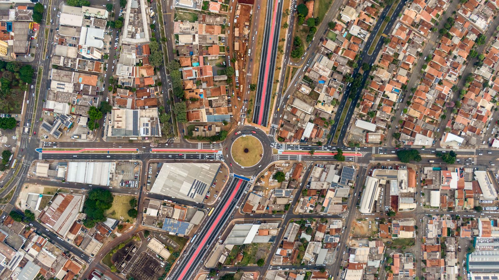
Photo: Rodolfo Gaion / Pexels
Interactive tool
Is It Free: The License Audit
Check off each step as you finish it. Your progress stays on this page.
0 of 6 complete
0% done
What the License Grants
OpenStreetMap data is published under the Open Database License (ODbL). It grants you the right to copy, use, adapt, and build on the database, including commercially, including inside products you sell. There is no fee, no royalty, and no permission to request. This is the grant that powers the ecosystem this site documents: the offline apps in our trekking guide, the downloads in OpenStreetMap download, and the toolchain from the OpenStreetMap API to QGIS. The grant is on the data. It is worth separating that from the map pictures and services built on the data, which carry their own terms, a distinction the rest of this guide keeps sharp.
What It Asks in Return: Attribution and Share Alike
Two obligations, both simple, both real. Attribution. You must credit OpenStreetMap and its contributors, visibly, wherever the data shows: the familiar "© OpenStreetMap contributors" line on a map corner is the license working, not a courtesy. Apps, printed maps, and websites all owe it. Share alike. If you build a derived database from OpenStreetMap data, merging it with other data into a new database, that derived database must be offered under the same ODbL terms. The crucial nuance: share alike attaches to databases, not to produced works. A map image, a printed atlas, an app screen rendered from your derived database can carry your own license; it is the database underneath that stays open. Most commercial users comply without pain: credit line on the map, and any corrected or enriched database they distribute stays ODbL. Most violations are not piracy dramas; they are missing credit lines, which the community will politely and then firmly point out.
Where Free Ends: The Project's Own Servers
The data is free; the OpenStreetMap Foundation's servers are a donated resource with rules. The standard tile layer at openstreetmap.org runs under a tile usage policy: no bulk downloading of tiles, no heavy commercial traffic, no offline scraping packs. The Nominatim geocoding service has its own policy: modest query rates, a valid contact in the request, no bulk geocoding jobs. These policies are not the license tightening; they are a small nonprofit protecting shared infrastructure, and they are enforced. The intended path for real volume is the ecosystem's: download the free data once, from the sources in our download guide, and serve it yourself or pay a tile provider to serve it for you. That is where money enters, and it buys servers, not data.

What Using It at Scale Actually Costs
A hobbyist pays nothing, forever. A business pays for infrastructure in proportion to its traffic: a tile server or a hosted tile subscription, geocoding capacity, and the engineering to keep a planet copy updated with the minute diffs the project publishes. Those costs are typically far below the metered API bills of the closed alternative, the comparison drawn in OpenStreetMap vs Google Maps, and they buy independence: no per view meter, no terms forbidding your use case, no data held hostage at renewal. The wider landscape of free geographic data, government sources included, is surveyed in open map data, and the community that keeps the data itself free is the one you can join through can anyone edit OpenStreetMap.
The Audit, Answered by Role
Casual user: free, no obligations beyond enjoying it; the credit line is the app's job. App or website showing the standard map: free, with the attribution line visible, and traffic modest enough for the tile policy. Business building on the data: free license, attribution mandatory, derived databases stay ODbL, and infrastructure at your own cost once volume grows. Researcher: free, cite the data and its license, and publish derived databases openly as the license asks. Four roles, one answer with four shapes: the data is free; the obligations are credit and openness for derived data; the costs are servers, and they are yours to control.
Common Misreadings of the License
"Free means no rules." The ODbL is a real license with real obligations, attribution and share alike for derived databases. Ignoring them is infringement of a generous license, and the community enforces it socially long before anyone reaches for law. "Share alike means my whole product must be open source." It does not. The obligation attaches to derived databases you distribute, not to your application code, your produced works, or your business. Companies run proprietary products on OpenStreetMap data every day, compliantly. "Attribution means a link somewhere on my website." Attribution belongs where the data is used: on the map, in the app, on the printed sheet, visible to the person seeing the data. A credits page nobody opens is the gesture, not the act. "The tile policy is the license." They are separate instruments: the ODbL governs the data, the usage policies govern the Foundation's donated servers. You can be fully license compliant and still be blocked from the tile servers for hammering them, and the remedy is the intended one, host the free data yourself. "Free data means low quality." Quality in OpenStreetMap is local and inspectable, the subject of our OpenStreetMap vs Google Maps comparison; in the regions its community works hardest, the data leads the commercial world. Each misreading survives because it contains a splinter of truth, and the audit habit this guide teaches, read the license, credit visibly, host at scale, dissolves all five.
The Ecosystem That Free Built
The license's real product is not the map at openstreetmap.org; it is the ecosystem that free data permits. Humanitarian mapping teams update disaster zones within hours because no license negotiation stands between them and the data. Transit agencies, hiking apps, delivery firms, researchers, and hobbyists build on the same commons without asking permission, and their corrections flow back through editors like the one in OpenStreetMap editor and projects like the mapathon tradition. This site's GIS shelf is itself a downstream work: open map data surveys the family, how to use OpenStreetMap onboards the user, and how to add a place to OpenStreetMap recruits the next contributor. Free, in other words, compounds. The data being free is why the tools are many, the tools being many is why the data keeps improving, and the license's two obligations, credit and share alike, are the small toll that keeps the loop turning.
How to Credit Correctly, With Examples
Attribution is where the license meets the real world, so here is the craft of it. On a website map, the credit sits in the map's corner, "© OpenStreetMap contributors," linked to the project's copyright page where the medium allows; most tile libraries add it automatically, and removing it is the violation, not a design choice. In an app, the credit lives on the map screen or one tap from it, in the settings or about panel at the latest. In print, it rides in the map's margin or the figure caption, naming the data and its license: "Map data © OpenStreetMap contributors, available under the Open Database License." In research, the citation names the data, the license, and the date of the extract, because the commons changes daily and reproducibility needs the vintage. Each example takes seconds, and together they are the entire visible cost of the world's open map. The project's own attribution guidance is the authority when a medium gets exotic; this guide's examples cover the common four, and the principle covers the rest: credit where the data is seen, in proportion to the seeing.
Related Guides
The closest companions to this guide are the GIS and open map data guides below. Each one picks up a thread this page starts:
- OpenStreetMap vs CARTO: Free Map Data vs a Cloud Location Intelligence Platform: OpenStreetMap and CARTO are not two versions of the same thing.
- OpenStreetMap vs Mapbox: Free Community Data vs a Hosted Mapping Platform: OpenStreetMap and Mapbox are not two versions of the same thing.
- How to Use OpenStreetMap in Flutter: flutter_map, Tiles, Markers, and Search: Flutter has no official Google style map from the OpenStreetMap world, but the community package flutter_map gives you a full OSM map widget in...
Frequently Asked Questions
Can I use OpenStreetMap in a commercial product?
Yes. The Open Database License permits commercial use, including in products you sell, with two obligations: credit OpenStreetMap and its contributors, and keep any derived database you distribute under the same license. There are no royalties and no permission process.
Do I have to pay for OpenStreetMap tiles?
Not for modest use of the standard layer, which runs under a usage policy on donated infrastructure. Heavy or commercial traffic is expected to self host tiles from the free data or use a paid tile provider. What you pay for at scale is serving infrastructure, never the data itself.
What does share alike mean in practice?
If you create a derived database from OpenStreetMap data and distribute it, you must license that database under the ODbL too. It does not force your produced works, map images, apps, printed products, to be open; those can carry your own terms. Only the database layer stays open.
Is OpenStreetMap free for offline use?
Yes, and offline is one of its strengths. Download the data for a region once, and apps like OsmAnd and Organic Maps navigate on it indefinitely with no account and no connection. Bulk tile scraping is against the tile policy, but downloading the data itself is the intended route, covered in our download guide.
Who pays for OpenStreetMap if the data is free?
The OpenStreetMap Foundation, funded by donations and memberships, runs the core infrastructure, and the mapping itself is contributed by volunteers worldwide. Companies that build on the data often support the foundation or employ contributors. Free data is a funding model, donations for a commons, not an absence of costs.
Is OpenStreetMap free for academic research?
Yes, fully. Research use sits squarely inside the ODbL grant, and the obligations are the familiar two: cite the data and its license, with the extract's date for reproducibility, and keep any derived database you publish under the same open terms. Universities both consume and contribute to the commons at scale, and humanitarian research after disasters depends on exactly this freedom.
Photo credits: Rodolfo Gaion (Pexels); Adriano Novo (Pexels). Photos are served from this site; follow the credit to the library page for the original.