Most of the world's map data exists because someone wanted to drive, deliver, or sell something there. The places with the weakest maps are therefore the places with the least commerce, which are often the places most exposed to disasters. The Humanitarian OpenStreetMap Team, known everywhere as HOT, exists to close that gap before the disaster, and to surge when one strikes anyway. It is the organization that turns OpenStreetMap from a map anyone can edit into a coordinated humanitarian instrument. If the mapathon is the event format, HOT is the institution behind the largest of them. This profile explains what HOT is, how it works, and why its model matters beyond emergencies.
Home / GIS and Open Map Data for Beginners
The Humanitarian OpenStreetMap Team: How HOT Turns Volunteers Into Crisis Maps
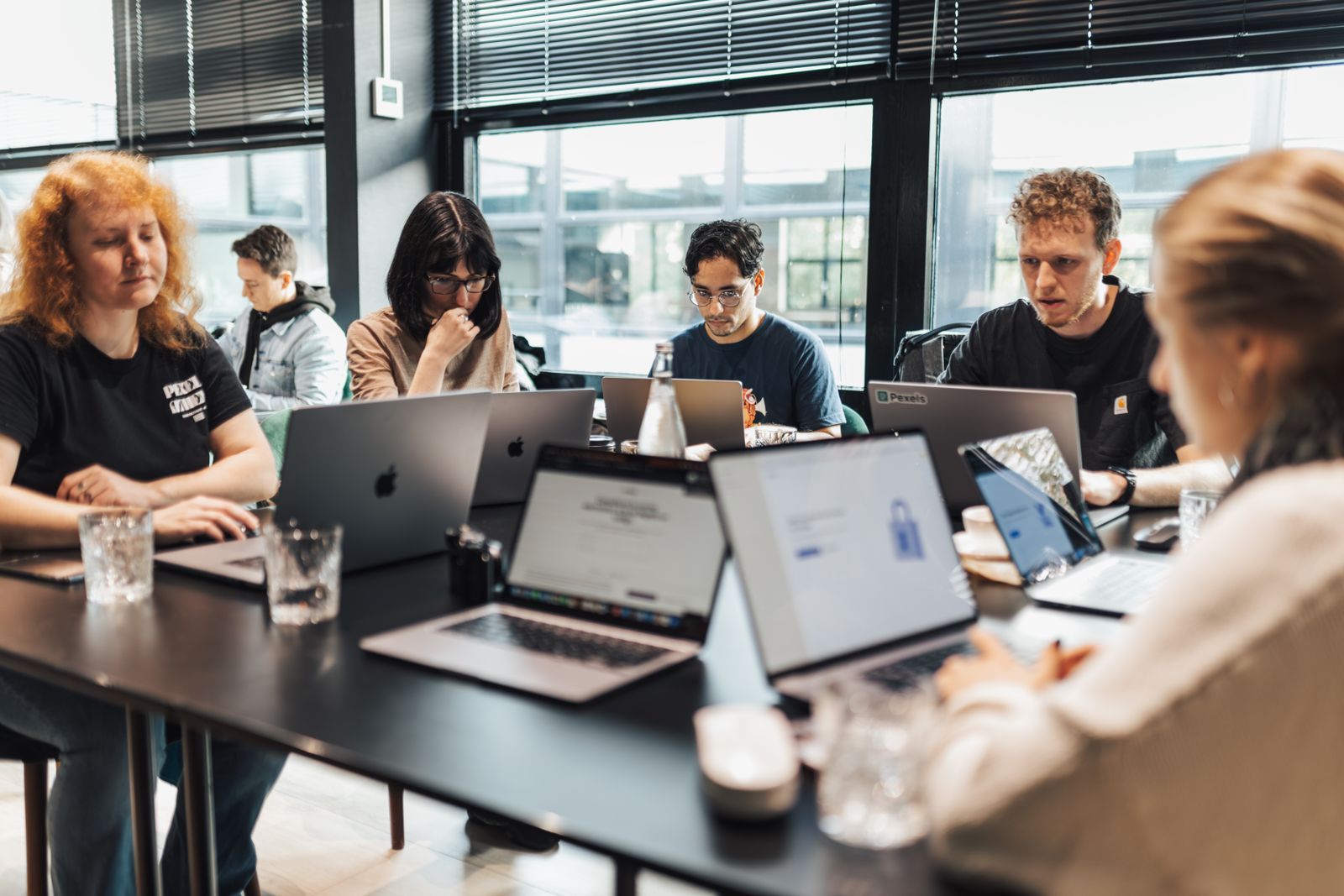
Photo: Matheus Bertelli / Pexels
Interactive tool
Join a HOT Mapping Session: First Steps
Check off each step as you finish it. Your progress stays on this page.
0 of 6 complete
0% done
Born in Haiti, 2010
HOT's origin is a specific night in mapping history. When the January 2010 earthquake devastated Port-au-Prince, responders discovered that Haiti's existing maps were poor precisely where the damage was worst. The OpenStreetMap community responded with an improvised global effort: satellite imagery was made available, and volunteers around the world traced roads, buildings, and camps into OSM within days, producing the best available map of the disaster area for the responders on the ground. The lesson was structural: this could be organized before it was needed, with tools, training, and partnerships ready. HOT was incorporated as a nonprofit in the United States in August 2010 to be that organization, and it received its 501(c)(3) status in 2013. Its headquarters are in Washington, DC, with a global staff and a particularly deep presence in Indonesia, where its Jakarta team grew out of disaster preparedness work mapping exposure data for flood and earthquake planning.
The Model: Remote Volunteers, Local Knowledge
HOT's working model has two halves that correct each other's weaknesses. Remote mapping supplies scale: volunteers anywhere trace buildings and roads from aerial imagery into OpenStreetMap, coordinated so thousands of people can divide a city without duplicating or colliding. Local mapping supplies truth: HOT trains and employs mappers in the countries themselves, through its regional Open Mapping Hubs (covering East and Southern Africa, West and Northern Africa, Latin America and the Caribbean, and Asia Pacific), who add what imagery cannot show: place names, building uses, water points, clinic services, the attributes that turn geometry into a usable map. Remote-only mapping produces outlines; local-only mapping cannot scale to a sudden crisis. The combination is the product, and the hubs are how HOT keeps the local half permanent rather than parachuted.
By HOT's own reporting, the scale is large: the organization reports work in more than 90 countries, and figures HOT shared in a 2026 conference talk put the community's cumulative output on the order of 175 million buildings and millions of roads mapped, with a registered volunteer community in the hundreds of thousands (over 540,000 mappers, as reported then). Treat those as the organization's own running totals, quoted here as of 2026; the direction and rough magnitude are corroborated by OpenStreetMap's own growth in exactly the regions HOT works.

The Toolkit
- Tasking Manager. The coordination heart. A project area is divided into a grid of small squares; each volunteer claims one, maps it, and marks it done, and a second volunteer validates it. This unglamorous grid is what makes 5,000 strangers into a workforce.
- MapSwipe. A mobile app that turns imagery triage into swiping: volunteers flag which tiles contain buildings, roads, or nothing, so scarce mapping effort goes where features actually are. It converts a phone on a bus into a humanitarian instrument.
- OpenAerialMap. A repository for openly licensed aerial imagery, including drone imagery, that mappers can trace from, solving the "we have volunteers but nothing to trace" problem for places commercial imagery does not cover openly.
- Drone Tasking Manager. A newer coordination tool for community drone flights, organizing local operators to capture fresh imagery after disasters and feeding it into the mapping pipeline.
- LearnOSM. The training library that teaches new mappers the tools and conventions, in many languages, because a surge of willing beginners is only useful if the first hour teaches them well.
Preparedness, Not Just Response
The popular picture of HOT is the disaster surge, and the surge is real: activations for earthquakes, cyclones, floods, and conflicts spin up Tasking Manager projects within hours, and the mapping community has learned to expect them. But HOT's own strategy emphasizes the quieter work: mapping vulnerable places before anything happens, in partnership with local governments, Red Cross and Red Crescent societies, and development agencies. A city mapped in peacetime gives responders a baseline (where the buildings, hospitals, and water points were) that no surge can reconstruct afterward. Preparedness mapping also builds the local communities and data that make a country's maps a national asset rather than an emergency import. The surge gets the headlines; the baseline gets the results.
The Honest Critiques
A profile that only praises would be a press release, so: HOT's model attracts real criticism, and the organization engages much of it openly. Remote mapping quality varies, and validation backlogs grow when a surge's enthusiasm outruns its validators, leaving plausible-looking data of uneven trust. Tracing buildings from imagery without local input can encode errors and miss what matters (a clinic mapped as a generic building is geometry without value), which is why the hub model exists. There are also standing questions in the wider community about data colonialism: who decides what gets mapped, who owns the resulting capacity, and whether international volunteers extract more value (in reputation and careers) than local communities gain. HOT's answers are structural (local hubs, local staff, local partnerships, open data owned by no one) rather than rhetorical, and judging the model fairly means judging those structures. The data itself carries no license wall: everything HOT produces lives in OpenStreetMap, free for anyone, including the communities mapped, forever.
How to Take Part
The barrier to entry is one evening. Create an OpenStreetMap account, work through the short LearnOSM or iD editor tutorials, open the Tasking Manager, pick a beginner-friendly project, and map one square carefully. Mark it complete, and let a validator's feedback teach you the conventions. Join a mapathon (in person or virtual) for the social version of the same evening, where experienced mappers review work live. If you have local knowledge of an undermapped place, that is rarer and more valuable than tracing speed: names, uses, and services are the data imagery cannot supply. And if you organize anything (a university society, a company volunteer day, a scout troop), a hosted mapathon multiplies your one evening into a room's worth, which is how the totals above actually accumulated: square by square, evening by evening.
The Model Under Load: Two Activations
West Africa, Ebola, 2014. When the Ebola epidemic spread through Guinea, Liberia, and Sierra Leone, treatment and contact tracing needed maps of settlements that barely existed on any map. The OSM community, with HOT coordinating, mapped tens of thousands of settlements and the roads between them from imagery, while local and international health organizations used the data to plan logistics. The episode proved the model at epidemic scale: the bottleneck was not volunteers but validation and local names, the two things HOT has invested in since.
Nepal, Kathmandu Valley, 2015. The Gorkha earthquake triggered one of the largest mapping surges in OSM history. Thousands of volunteers mapped the valley's buildings and roads in days, and Kathmandu's own mapping community (which had been building local capacity before the quake, exactly the preparedness model) connected the data to responders. The valley entered the disaster already partly mapped by its own people, and the difference between that and a cold start was measured in response time. Both cases teach the same lesson HOT's strategy is built on: the surge is the visible tenth; the baseline and the local community are the rest of the iceberg.
Funding and Governance, in Brief
HOT is a charity, and its money is mostly grants and contracts: governments, multilateral agencies, foundations, and companies fund specific programs (a country's preparedness mapping, a hub's operations, a tool's development), supplemented by individual donations. That funding shape explains both its reach and its geography: projects happen where a partner's need and a funder's program meet a community's willingness. Governance sits with a board and a membership drawn from the mapping community, and its tools are open source, because a humanitarian infrastructure that depended on proprietary coordination software would contradict its own data philosophy. Readers evaluating HOT as donors or partners should read its published annual reports and financials, which the organization posts openly; this profile's purpose is the model, and the model is legible without the ledger.
HOT in the Wider Ecosystem: Missing Maps and Friends
HOT does not work alone, and its best-known partnership is Missing Maps, a collaborative project founded by HOT together with the American Red Cross, the British Red Cross, and Médecins Sans Frontières. Missing Maps states its objective plainly: to map the most vulnerable places in the world so that responders and local organizations can use the data. It is the banner under which many public mapathons run, and the pipeline is the one described in this article: remote volunteers map, local communities validate and enrich, responders use. Around that core sits a broader ecosystem HOT plugs into rather than owns: the OpenStreetMap Foundation stewards the database, national OSM communities provide the local roots, universities run research and mapathon programs, and companies contribute imagery and engineering. Understanding HOT means seeing it as a coordinator inside that ecosystem rather than the ecosystem itself. Its distinctive contributions are the humanitarian focus, the Tasking Manager workflow, the regional hubs, and a decade and a half of knowing which square to ask the world to map next.
Related Guides
This guide does not stand alone. The GIS and open map data guides below take up the questions it leads into:
- OpenStreetMap (OSM): The Wikipedia of Maps, Explained for Beginners: OpenStreetMap is a map of the whole world drawn by its users and free for anyone to use.
- The OpenStreetMap API: What It Is, What It Caps, and What It Is Not For: The OpenStreetMap API is the editing interface of the project: the door through which editors and apps read small pieces of the map and write...
- Shapefile vs Geodatabase: The Limits That Decide Which Container Your Data Deserves: The shapefile is a 1990s format that still runs the world's data exchanges, and the file geodatabase is Esri's modern container that removes...
- HOT Tasking Manager: How Humanitarian Mapping Gets Coordinated, Square by Square: The toolkit’s coordination board taught whole: locks, states, and validation.
Frequently Asked Questions
What is the Humanitarian OpenStreetMap Team?
HOT is a US-based nonprofit, founded in 2010 after the Haiti earthquake response, that organizes volunteers and local communities to create free, open map data for disaster preparedness, response, and development, working through OpenStreetMap.
How does HOT mapping work?
Projects are divided into grid squares in the Tasking Manager. Volunteers claim squares and trace roads and buildings from aerial imagery; other volunteers validate the work. Local teams and regional Open Mapping Hubs add names, services, and ground truth that imagery cannot provide.
Is HOT the same as OpenStreetMap?
No. OpenStreetMap is the open map project and database itself, stewarded by the OpenStreetMap Foundation. HOT is one organization (of many) that contributes to OSM, specializing in humanitarian applications and community building in vulnerable places.
What is MapSwipe?
A HOT mobile app that lets volunteers triage satellite imagery by swiping through tiles and marking which contain features like buildings or roads. It directs mapping effort where it is needed and lets anyone contribute usefully with just a phone.
Can beginners volunteer with HOT?
Yes. The Tasking Manager labels projects by difficulty, LearnOSM teaches the editing tools, and every square a beginner completes is reviewed by a validator. A mapathon is the friendliest first session, since help is in the room.
Photo credits: Matheus Bertelli (Pexels); Matheus Bertelli (Pexels). Photos are served from this site; follow the credit to the library page for the original.