The search usually starts with a fence, a tree, or a neighbor. Someone wants to know where their land ends, opens Google Maps, zooms in, and either finds nothing or finds faint lines that look like boundaries and trusts them. Both outcomes mislead. Google Maps does not publish a property line layer, does not claim survey accuracy for anything it draws, and says so in its terms. The lines people mistake for parcels are real pixels with a mundane explanation, covered below. The good news is that actual boundary data is public, free in most counties, and far better than a guess: it just lives in different tools. This guide shows where, and is blunt about the one situation where no website suffices.
Google Maps Property Lines: What Those Lines Are and Where Real Boundaries Live
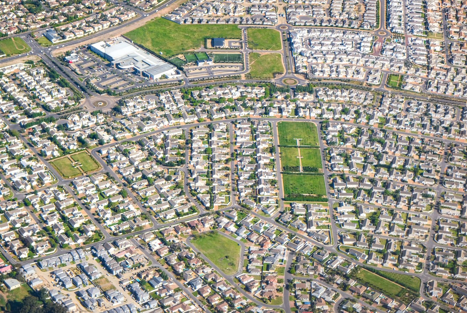
Photo: Magda Ehlers / Pexels
Interactive tool
Find the Real Boundary: The Route Checklist
Check off each step as you finish it. Your progress stays on this page.
0 of 6 complete
0% done
What Those Thin Lines on Google Maps Actually Are
Zoom into a suburb on the satellite layer and you may see faint divisions between houses. They are not parcel boundaries. They are the visible seams of the world itself: fences, hedges, driveways, mowing strips, and changes in roofing or paving that a camera records and a hopeful eye connects into lots. In some areas, map data providers draw generalized land-use or lot-like outlines at high zoom, but Google does not source them from county parcel records, does not maintain them as boundaries, and attaches no accuracy claim to them. Two tests expose the truth. First, the lines drift against the imagery as you zoom, because map vectors and photographs are captured and aligned separately, and a few meters of offset is normal; a real boundary does not move when you zoom. Second, the lines fail exactly where boundaries matter most: rural land, irregular lots, and anywhere fences do not follow the deed. Treat anything you see on Google Maps as a sketch of what the ground looks like, never as evidence of what the record says.
Route One: Your County GIS Parcel Viewer, the Real Record Online
Nearly every US county publishes a parcel viewer, usually run by the assessor, auditor, or GIS office, and it is the single best free source of boundary information. Search your county's name plus "parcel viewer" or "GIS map." Inside, you can typically search by address or parcel number, see the recorded lot outline drawn over aerial imagery, and read the data attached to it: owner of record, acreage, assessed value, tax status, and often a link to the recorded plat or deed reference. This outline comes from the county's own parcel fabric, the working map the tax system runs on, which makes it categorically different from Google's sketch. Two cautions keep you honest. Counties themselves disclaim survey accuracy for these viewers; the lines are a representation of the record, assembled for assessment, and can be off by feet in places. And the viewer shows the parcel as taxed, which occasionally differs from the parcel as deeded. For almost every everyday question, though, the county viewer is the answer Google Maps never had.
Route Two: Plat Maps and the Recorder's Office
Underneath every subdivision parcel sits a plat: the recorded survey drawing that created the lots, filed with the county recorder when the land was divided. Plats carry the numbers no viewer summarizes: lot dimensions, bearings, easements, setbacks, and the monuments the surveyor set. Many counties expose plats through the same GIS viewer or a recorder's search portal; older plats may require a visit or a records request. Read a plat when the question is historical or structural: where an easement runs, why your lot is a strange shape, what that strip behind the garage legally is. A plat is a legal document drawn by a surveyor, so its dimensions outrank any web map's outline, including the county's own viewer. If the plat and the viewer disagree, believe the plat, and if the plat and the fence disagree, you have found the exact situation the next route exists for.
Route Three: Aggregators That License County Data
Services such as Regrid and similar land-data platforms assemble parcel data from counties nationwide into one map, one search, and one app. Their value is convenience and coverage: a single interface across county lines, boundary overlays on satellite imagery that look like what people wished Google Maps had, and extras like owner and zoning data bundled in. Understand what you are buying: the same county data, repackaged. An aggregator is only as current and as accurate as the county feed behind it, and it inherits the county's disclaimer. For scouting land, comparing parcels across a region, or working where a county viewer is painful, aggregators earn their keep. For a decision with money or lawyers attached, they are a starting point that points back to the county record, not a replacement for it.
Route Four: A Licensed Surveyor, the Only Legal Answer
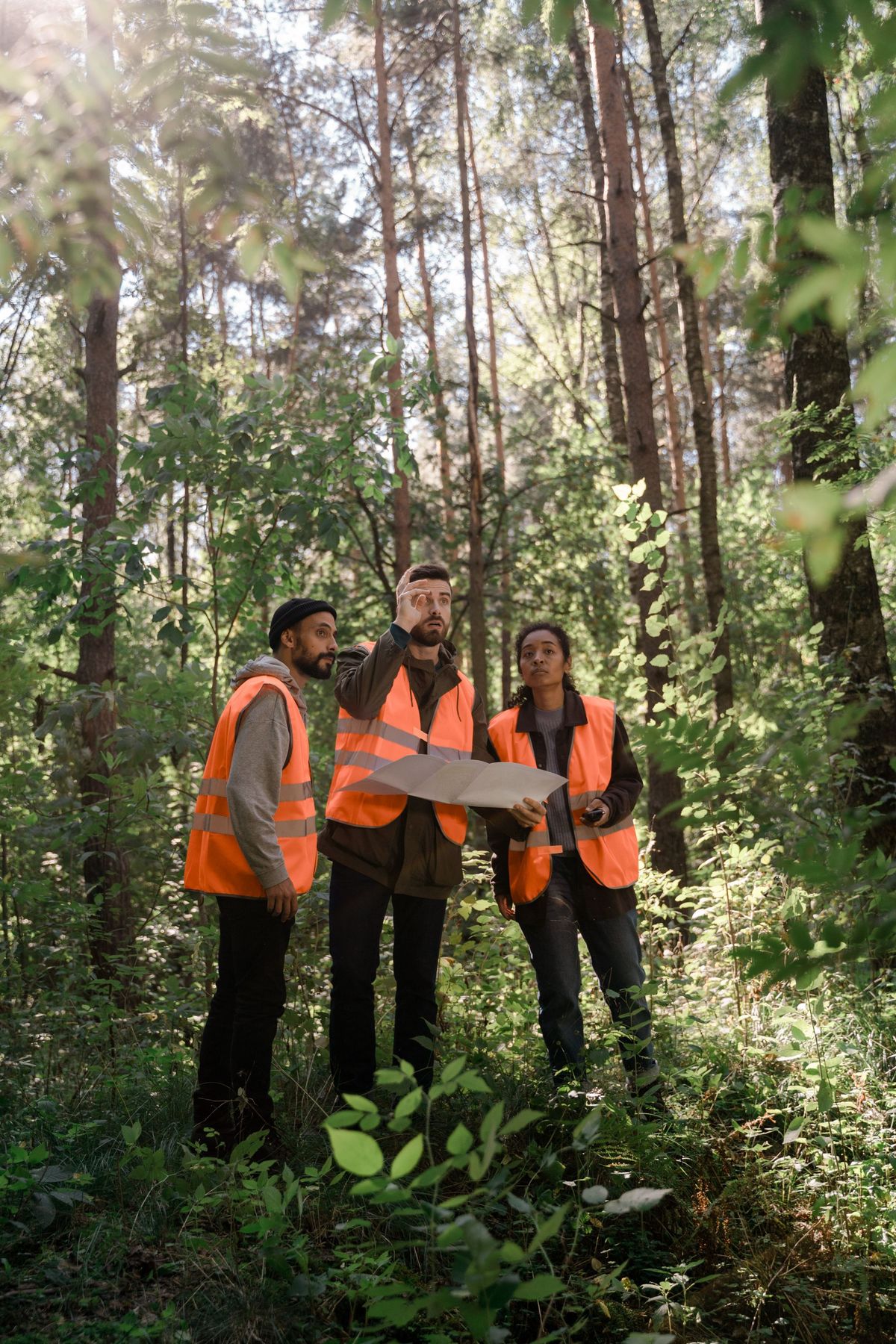
One class of question has exactly one legitimate source. If you are building a fence or a structure near a line, buying or selling where acreage is disputed, or arguing with a neighbor, you need a boundary survey: a licensed surveyor researches the deeds and plats, finds or resets the monuments in the ground, and stakes the line you can act on. No website, including the county's, marks your land; surveyors do, and their work is what courts and title companies recognize. Expect the survey to cost real money and to occasionally deliver unwelcome news, like a fence that has stood on the wrong side of the line for twenty years. That news is precisely its value. Everything before this route is research, and research is the right preparation: arrive at the surveyor with the parcel number, the plat, and your question already clear, and you will pay for answers instead of for orientation.
How to Work a Boundary Question, Start to Finish
Run the routes in order and stop when your question is answered. Begin with the county viewer: find the parcel, note its number, dimensions if given, and the plat reference. Pull the plat if the question involves easements, odd shapes, or history. Use an aggregator only if you are comparing across counties or the county tool defeats you. Cross-check the outline against the ground: measure from fixed features with a tape or a measuring app, remembering that GPS positions from a phone carry meters of error and can support a hunch, never a conclusion. Then ask the deciding question: does anything legal, financial, or permanent depend on this line? If yes, the research ends and the surveyor begins. If no, if you are siting a garden, a shed well inside the lot, or satisfying curiosity, the county record plus common sense is a perfectly good place to stop. The discipline is matching the weight of the source to the weight of the decision, which is the whole lesson Google Maps' missing layer teaches by accident.
What About the Measure Tool and GPS Apps?
Google Maps' measure distance feature and the many boundary-walking apps deserve a direct word, because they feel like surveying. Measuring on the map measures the map: if the imagery is offset by two meters, your careful line inherits the offset, and the tool will still report the distance to two decimal places. Precision of display is not accuracy of data. Walking a boundary with a phone GPS app has the same shape of problem: consumer GPS fixes wander by several meters, worse under trees, so the recorded track is a fuzzy ribbon, not a line. These tools are fine for estimating a fence run for a materials list or checking whether a parcel is roughly the size claimed. They are not fine for deciding where the fence goes. Knowing which job each tool can do is most of what this article exists to say.
Easements: The Lines Nobody Draws
Parcel viewers show the lot you own. They rarely show the rights other parties hold inside it, and those invisible lines cause as much trouble as the boundary itself. An easement is a recorded right for someone else to use part of your land for a stated purpose: the utility corridor along the back fence, the shared driveway, the drainage swale the county maintains. Easements live on the plat and in the deed records, which is why the plat route matters: build a shed on a utility easement and the utility may remove it at your expense, entirely legally, whatever the parcel viewer showed. When you research a property, research it in two layers: the boundary that defines what you own, and the easements that define what you may not fully control. Google Maps shows neither. The county record, read properly, shows both, and the plat is where the second layer hides.
For Buyers, Sellers, and the Curious: Calibrating Trust
Different questions deserve different evidence, and most boundary anxiety comes from using research-grade data for a decision-grade problem, or paying for decision-grade work to answer a research-grade question. Curiosity, gardening, a dog run set well inside the lot, estimating a lot's size before a first visit: the county viewer is plenty, and free. A purchase where the lot size or a buildable corner carries the price: pull the plat, read the easements, and make the offer contingent on records, not on a map screenshot. Anything permanent near a line, and any disagreement with a neighbor however friendly: surveyor, before the first post hole, because moving concrete costs more than measuring land. Notice that Google Maps appears nowhere in that ladder. It is a fine way to look at a neighborhood and a poor way to learn what you own, and keeping those two jobs separate is the cheapest boundary education there is.
Related Guides
Readers working through this topic usually need its closest companions too. These map app guides cover the neighboring ground:
- How to Use Live View on Google Maps: AR Walking Directions on the Real Street: Live View is the one Google Maps feature that answers the question the blue dot never could: not where you are, but which way to face.
- How to See How Busy a Place Is on Google Maps: Popular Times, Live Bars, and Waits: Google Maps keeps a crowd diary for millions of places: a chart of how busy each one usually is, hour by hour and day by day, plus a live bar...
- Google Maps EV Trip Planner: Set Your Plugs, Add Charging Stops, and Know Its Limits: Google Maps can plan an electric road trip, but only after you teach it your car.
Frequently Asked Questions
Does Google Maps show property lines?
No. Google Maps has no property line layer and publishes no parcel boundaries. The faint divisions visible at high zoom on satellite imagery are fences, hedges, and other ground features, or generalized outlines with no survey standing. Google's own terms disclaim the accuracy needed for boundary use.
Where can I see my real property lines online for free?
Your county's GIS parcel viewer, usually run by the assessor or auditor, draws the recorded parcel outline over aerial imagery and links the plat and ownership record. It carries the county's own disclaimer that it is not a survey, but it is the authoritative public representation of the boundary and it is free.
Are the parcel lines in county viewers accurate enough to build a fence?
They are accurate enough to plan and to research, not to build against. County viewers assemble lines for tax assessment and can be off by feet. A fence on or near the line warrants a boundary survey by a licensed surveyor, whose stakes are what neighbors, courts, and title companies accept.
What is a plat map and where do I get one?
A plat is the recorded survey drawing that created a subdivision's lots, showing dimensions, bearings, easements, and monuments. It is filed with the county recorder; many counties link it from the parcel viewer or a recorder search portal, and older plats may need a records request or a visit.
Can a phone app find my boundary accurately enough?
No phone app can. Consumer GPS positions wander by several meters, and map imagery itself carries offsets, so apps can estimate areas and distances for planning but cannot locate a legal boundary. Only a surveyor's monuments and stakes do that.
Photo credits: Magda Ehlers (Pexels); Ron Lach (Pexels). Photos are served from this site; follow the credit to the library page for the original.