An electric car turns a road trip into a planning problem a gasoline car never has: the fuel is not everywhere, it arrives at different speeds, and only some plugs fit your car. Google Maps has quietly become a real EV trip planner, but it works in two very different strengths depending on where you run it. On a phone it is a capable station finder with filters. In a car with Google built in, it becomes a true planner that adds charging stops to your route by itself. This guide sets up both, and is honest about the estimates neither one can make for you.
Google Maps EV Trip Planner: Set Your Plugs, Add Charging Stops, and Know Its Limits
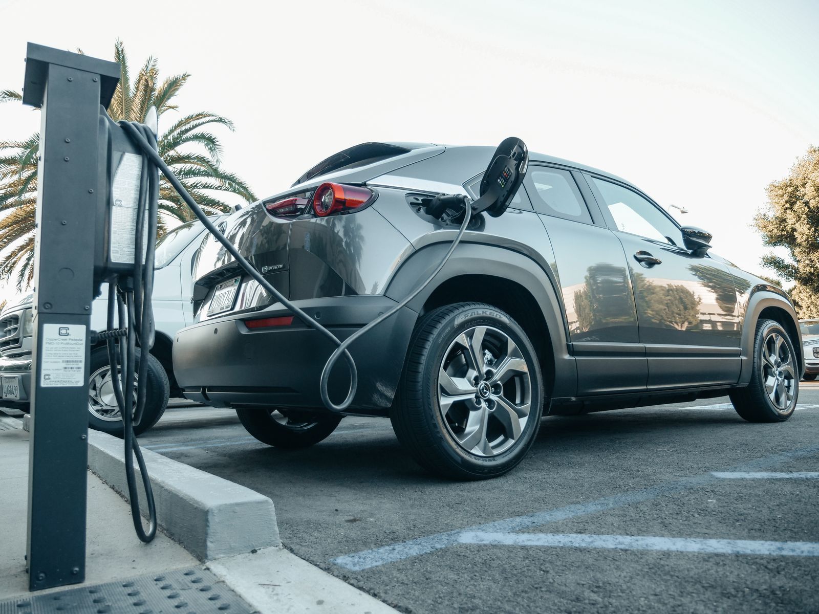
Photo: Kindel Media / Pexels
Interactive tool
EV Trip Setup: Plugs First, Then the Plan
Check off each step as you finish it. Your progress stays on this page.
0 of 7 complete
0% done
Step One: Teach Maps Your Connectors
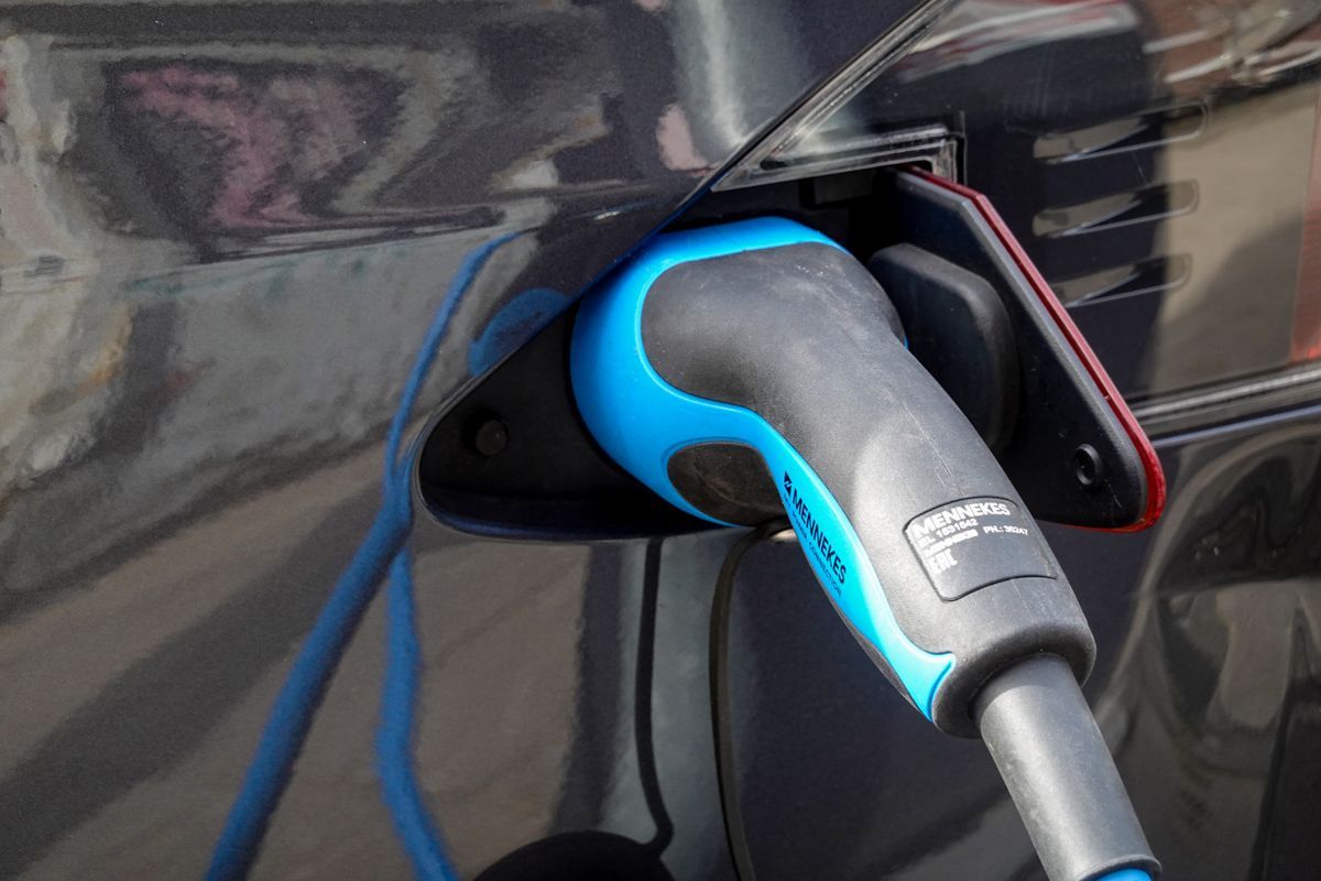
Everything else depends on this setting, and most EV drivers have never opened it. In Google Maps on your phone, tap your profile picture, then Settings, then the electric vehicle settings, and add your vehicle's plug types. The main connector families you will meet:
- CCS (Combined Charging System). The fast-charging standard on most non-Tesla EVs in North America and the standard in Europe, where it is called CCS Type 2.
- NACS. Tesla's connector, now adopted by most other automakers in North America; newer cars ship with it and older ones use an adapter.
- CHAdeMO. The older Japanese fast-charging standard, fitted to the Nissan Leaf and a shrinking share of new cars.
- J1772 / Type 2. The slower Level 2 AC connectors found at hotels, workplaces, and destination chargers.
Once saved, station results filter to plugs your car can physically use, which removes the classic EV rookie error of navigating to a charger you cannot plug into. If you drive two EVs, check the profile before a trip in the other car; the filter follows the setting, not the vehicle you are sitting in.
Planning a Route With Charging Stops on Your Phone
With the profile set, plan the drive in two passes. First, run the route normally to see the distance and driving time with no charging. Second, tap the search along route option (or search "EV charging stations" with the route active) and Maps lists stations near your path, each showing its plug types, the number of chargers, and the charging speed in kilowatts where the operator reports it.
Add the stations that sit near the points where you would naturally stop anyway, roughly when the battery will be getting low rather than at fixed distances. Then judge each candidate by three things the listing shows: the connector matches your profile, the speed is genuinely fast charging rather than a slow Level 2 post (a 7 kW post is an overnight tool, not a road trip tool), and the detour off your route is short. Save the finalists as stops in the route so navigation strings the whole day together in order.
Cars With Google Built In: The Planner Does the Math
If your car runs Google built in (the full Android Automotive system with Maps as the car's own navigation, fitted to many Volvo, Polestar, Chevrolet, and other models), the experience steps up a level. Set a destination beyond your range and Maps adds charging stops automatically, choosing stations that fit your connectors and estimating your battery level on arrival at each stop and at the destination. You can adjust how low you are willing to arrive, and the plan rebuilds around your comfort.
Two honest limits apply. First, the arrival percentages are predictions built from the car's consumption model, weather, and elevation; they are good predictions, but they are not measurements, and a headwind day will argue with them. Keep a margin, especially in winter. Second, the automatic planner lives in the car system. The phone app does not know your battery level at all, which is why phone planning stays a manual, station-by-station job. Knowing which of the two planners you have prevents most EV trip frustration.
Reading a Station Listing Like an EV Driver
A station result carries more signal than the star rating:
- Charging speed. Shown per connector where operators report it. A bank of high-power DC chargers is a 15 to 30 minute stop; a single low-power unit is a plan B.
- Number of plugs and live availability. Some networks report how many chargers are free right now. Treat live status as a helpful hint rather than a promise; it can lag, and the car ahead of you in line is invisible to the app.
- Network and payment. The listing names the operating network. Many chargers now take a contactless card directly, but some still want the network's app or account, and discovering that in a rainy parking lot is miserable. Glance at recent reviews in the listing; drivers report broken units, blocked bays, and pricing surprises there faster than anywhere else.
- Amenities nearby. A charger beside a coffee shop or restrooms is worth a small detour over a faster charger in an empty lot, because you are stopping anyway.
Charge Like a Planner: The 80 Percent Habit
Fast charging is not linear. Every EV charges quickly when the battery is low and slows down as it fills, to protect the battery. The practical consequence shapes good trip planning: on a road trip you usually charge only enough to reach the next charger comfortably, often to around 80 percent, and stop more briefly more often, rather than filling to 100 percent at fewer stops. Google Maps will happily plan either way; the clock prefers the 80 percent habit. The exception is the overnight stop, where a Level 2 charger at the hotel fills the car slowly while you sleep, which is the cheapest and easiest charge of the whole trip. Build the plan around the hotel charge and the fast stops become short top-ups instead of long waits.
A Worked Example: Planning a 420-Mile Day
Say your car does about 260 miles on a full charge in mild weather, and the day's drive is 420 miles. The gasoline habit says stop once, halfway. The EV math says something better. Leave the hotel at 100 percent from the overnight charger. Your first stop comes after roughly 170 to 190 miles, arriving with the battery low and charging fast; twenty minutes takes you to about 80 percent, which is another 190 or so miles of range. The second stop, if you need it at all, is a ten minute top-up within sight of the destination, or nothing, if the destination has a charger. Total charging time for the day: about half an hour, split across a coffee and a stretch, instead of one long sit at a single charger while the last 20 percent crawls in. Build this in Maps the night before: route first, stations second, stops saved in order. In the morning you just drive the plan, and the only decision left is whether the first charger's coffee is good enough to justify the longer version of the stop.
Cold, Heat, and Hills: Planning for the Range You Actually Have
The range on the dashboard is a fair-weather number. Cold weather is the big thief: cabin heating and a cold battery can cut real range substantially in winter, which is why the same route that needed one stop in September needs two in January. Maps in Google built in cars accounts for temperature in its estimates; the phone app does not know the weather matters at all. Three habits cover the gap. First, plan winter stops closer together than the summer version of the same trip, and let the car surprise you pleasantly. Second, use the car's own preconditioning if it offers it: navigating to a charger with the built-in system often warms the battery on the way, which makes the fast charger actually fast when you arrive. Third, respect elevation on mountain routes: the climb consumes far more than the map distance suggests, and the descent gives some of it back, so a charger just before the pass is worth more than a cheaper one just after it. None of this needs specialist software. It needs the plan made with the season in mind, and the humility to add one stop more than the optimistic version.
When to Graduate to a Specialist: ABRP
A Better Routeplanner (ABRP) is the tool EV drivers reach for when the trip gets serious. It models your exact car model, its real consumption curve, temperature, wind, elevation, and even how fast you drive, then computes stops and charge targets to the percent. Use Google Maps for everyday trips and unfamiliar-city station finding, where its place data is unmatched. Use ABRP to pre-plan a long or mountainous route, a winter trip, or a first drive in a new car whose range you do not yet trust, then navigate with whichever app you prefer. The two are complements, not rivals: ABRP decides the plan, Maps knows the territory.
When the Charger on the Map Lets You Down
The plan will eventually meet a charger that is broken, blocked, or slower than advertised. The listing reviews are your early warning: scan the most recent few before you commit to a stop, because drivers report dead units within hours. If you arrive to a failed charger, the recovery is a Maps skill, not luck. Search EV charging stations again from where you stand, filter by your connectors, and look for the nearest alternative, which in most corridors is minutes away. The deeper protection is structural: never let the battery fall so low that one failed charger strands you. The 80 percent habit plus a minimum arrival buffer means a dead stop costs you a short hop to the next station, not a tow truck. Networks also cluster: a corridor usually has competing stations near the same exits, because everyone is solving the same spacing problem. Note the backup station for each planned stop when you build the route the night before. Thirty seconds of planning turns the worst EV trip story into a five minute detour.
Related Guides
The closest companions to this guide are the map app guides below. Each one picks up a thread this page starts:
- How to Add Multiple Pins in Google Maps: Lists for Pins, My Maps for Projects: There are two honest answers to putting many pins on one Google map, and picking the wrong one wastes an afternoon.
- Google Maps Saved Places: Favorites, Want to Go, Starred, and Your Own Lists: Saving a place in Google Maps is one tap, but where the place lands decides whether you ever find it again.
- How to Read Google Maps in Japan: Route Cards, Train Types, Mapcodes, and Exits: Google Maps in Japan is not hard to use, it is hard to read.
Frequently Asked Questions
How do I make Google Maps show only chargers that fit my car?
Open Settings in Google Maps and add your vehicle's plug types under the electric vehicle settings. After that, station results are filtered to your connectors, such as CCS, NACS, or CHAdeMO, so you stop navigating to chargers you cannot use.
Can Google Maps add charging stops automatically?
Yes, in cars with Google built in. Set a destination beyond your range and Maps inserts charging stops, estimates your battery on arrival at each one, and respects your plug types. On the phone app you add stops manually, because the phone does not know your battery level.
Are the battery arrival estimates in Google Maps accurate?
They are predictions, not measurements. The car system models consumption from your driving, weather, and elevation, and it is usually close, but cold weather and headwinds can eat the margin. Set a comfortable minimum arrival charge and treat the estimate as a plan, not a guarantee.
What charging speed should I look for on a road trip?
Look for DC fast chargers, which the listing shows in kilowatts, for en route stops, and save slow Level 2 posts (around 7 kW) for overnight hotel charging. A fast charger turns the stop into a coffee break; a slow post turns it into an afternoon.
Is ABRP better than Google Maps for EV trips?
For planning a demanding trip, ABRP models your exact car and conditions more deeply. For finding stations, checking reviews, and everyday navigation, Google Maps is stronger. Many EV drivers plan in ABRP and navigate in Maps.
Photo credits: Kindel Media (Pexels); Magda Ehlers (Pexels). Photos are served from this site; follow the credit to the library page for the original.